
Landscape Archaeology and GIS
Häftad, Engelska, 2006
271 kr
Skickas . Fri frakt över 249 kr.
Beskrivning
Landscape Archaeology and GIS examines the ways in which Geographical Information Systems can be used to explore archaeological landscapes, and summarises the most appropriate methods to use. It is structured around principal themes in landscape archaeology, and integrates desk-based assessment, data collection, data modelling and landscape analysis, right through to archiving and publication.This is the first book on GIS to focus specifically on landscape archaeology that is accessible to a wide archaeological readership. It explores the applications of GIS to a wide variety of archaeological evidence including maps, aerial photographs and earthworks. The work is well illustrated throughout with digital maps and models being used to support case studies, as well as for suggesting new hypotheses relevant to this discipline.
Produktinformation
Utforska kategorier
Mer om författaren
Hoppa över listan

Mer från samma författare
Catalogue of the Collection of Ancient, Foreign and United States Coins and Medals Including War Decorations and Medals of Louis A. Risse
Samuel Hudson Chapman, Henry Chapman
Häftad, 2021
193 kr
Catalogue of the Collection of Coins and Medals of Charles Morris, a Philadelphia Gentleman, and Richard L. Ashhurst
Henry Chapman
Häftad, 2021
180 kr
Catalogue of the Magnificent Collection of European Silver Coins, Gold Coins, Medals, Etc.
Henry Chapman
Häftad, 2021
207 kr
Catalogue of the Celebrated Collection of Coins of Matthew A. Stickney
Henry Chapman
Häftad, 2021
235 kr
Catalogue of a Miscellaneous Collection of Coins, Medals and Paper Money. [08/26/1925]
Henry Chapman
Häftad, 2021
246 kr
Catalogue of American Coins and Medals of Charles I. Bushnell
Samuel Hudson Chapman, Henry Chapman
Häftad, 2021
207 kr
Hoppa över listan


Du kanske också är intresserad av
Catalogue of the Collection of Colonial and State Coins, 1787 New York, Brasher Doubloon, U. S. Pioneer Gold Coins, Extremely Fine Cents and Half Cents of Captain A. C. Zabriskie
Henry Chapman, Andrew Christian Zabriskie
Inbunden, 2022
362 kr
Catalogue of the Collection of Ancient, Foreign and United States Coins and Medals Including Large Series of War Decorations and Medals
Henry Chapman, Samuel Hudson Chapman
Häftad, 2021
193 kr
Catalogue of a Miscellaneous Collection of Coins, Medals, and Paper Money to Be Sold at Public Auction
Henry Chapman
Häftad, 2021
246 kr
Catalogue of the Collection of Colonial and State Coins, 1787 New York, Brasher Doubloon, U. S. Pioneer Gold Coins, Extremely Fine Cents and Half Cents of Captain A. C. Zabriskie
Henry Chapman, Andrew Christian Zabriskie
Häftad, 2022
207 kr
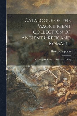
Catalogue of the Magnificent Collection of Ancient Greek and Roman ...
Henry Chapman
Häftad, 2021
276 kr
Catalogue of the Collection of Ancient Greek and Roman, German, European and Oriental Coins Formed by Wilhelm Boeing to Which is Added a Set of United States Silver Dollars of A. Bridgman, Jr.
Samuel Hudson Chapman, Henry Chapman
Häftad, 2021
180 kr
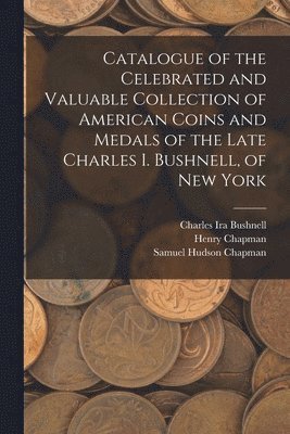
Catalogue of the Celebrated and Valuable Collection of American Coins and Medals of the Late Charles I. Bushnell, of New York
Charles Ira Bushnell, Henry Chapman, Samuel Hudson Chapman
Häftad, 2022
207 kr
Catalogue of American and Foreign Coins and the Fine Collection of Medical Medals of Dr. W.S. Disbrow and the Collection of U.S. Fractional Currency of Monroe J. Friedman
Samuel Hudson Chapman, Henry Chapman
Häftad, 2021
193 kr