
Vägkartor
308 kr
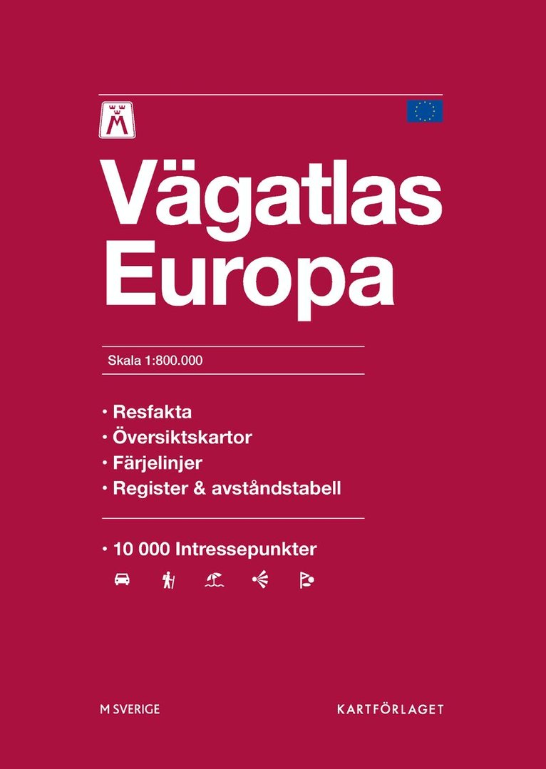
Atlas där fokus ligger på vägnätet och dess information som vägnummer och avfartsnummer för en smidig resa. Kartorna är lättlästa och Europas länder presenteras i skala 1:800000. I atlasen finns även stadskartor, information om larmnummer, generella hastighetsbestämmelser samt ett utförligt namnregister.
298 kr
Sveriges bästa vägatlas!
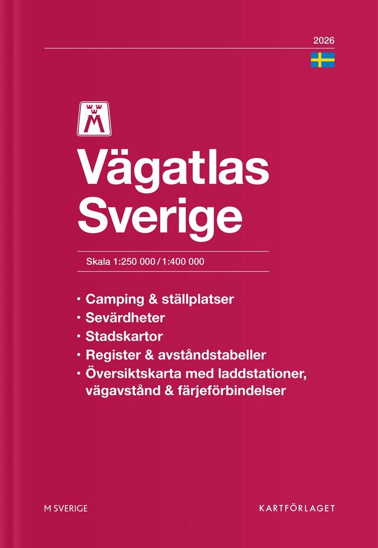
Den 35:a utgåvan av Sveriges bästa vägatlas visar olika typer av vägar, avfartsnummer, vägavstånd, rastplatser, vandrarhem, camping, ställplatser för husbil och tätortskartor. Den innehåller även information om sevärdheter, golfbanor, STF-vandrarhem samt översiktskartor med laddstationer, avstånd och färjeförbindelser. Temakartor visar museum, djurparker, nöjesparker och svenska världsarv. Atlasen avslutas med en förteckning över vanligt förekommande vägmärken, fordonsmärkning för farligt gods och ett utförligt ortsregister. Allt du förväntar dig av en bra atlas och lite till!
179 kr
Sveriges bästa vägatlas! Ny reviderad och uppdaterad 2026 utgåva av Leginds Vägatlas med tydliga lättlästa och uppdaterade kartor i riktigt bra skala. En modern vägatlas i vacker blå flexbandutgåva med mjuka smutståliga pärmar och slitstarkt papper som ger en vägatlas som är hållbar och praktisk i bruk. Alla kartor innehåller tydlig och relevant information om sevärdheter som slott, kyrkor, ruiner, golfbanor, skidområden, utsiktspunkter och mycket annat du kan se när du är på väg, förutom praktisk information om rastplatser, avfartsnummer, turistinformation, camping med mera.
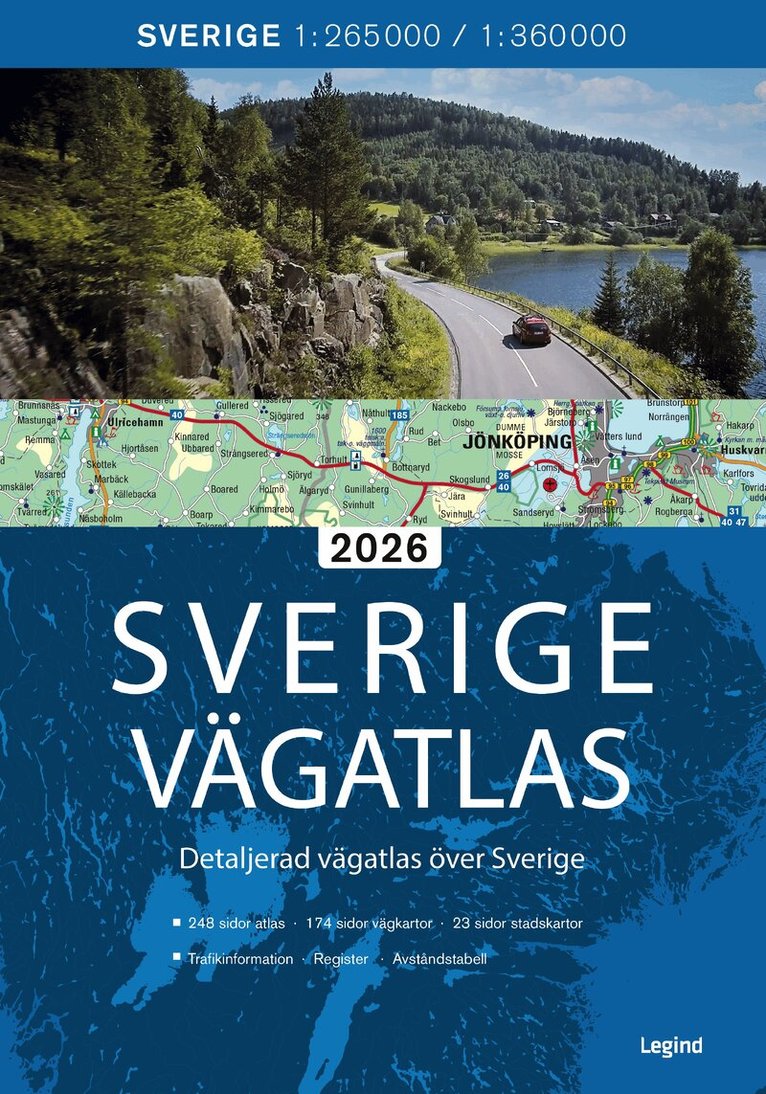
• 174 sidor med lättlästa vägkartor över hela Sverige i skala 1: 265 000 och 1: 360 000• Information om rastplatser, sevärdheter, utsiktspunkter, färjeförbindelser etc.• Bra översiktskartor• 23 sidor med stora och tydliga stadskartor• Avståndstabell• Omfattande register• Detaljerad trafikinformation
137 kr
Skickas
137 kr
279 kr
Sveriges bästa vägatlas!
Den 34:a utgåvan av Sveriges bästa vägatlas visar olika typer av vägar, avfartsnummer, vägavstånd, rastplatser, vandrarhem, camping, ställplatser för husbil och tätortskartor. Den innehåller även information om sevärdheter, golfbanor, STF-vandrarhem samt översiktskartor med laddstationer, avstånd och färjeförbindelser. Temakartor visar museum, djurparker, nöjesparker och svenska världsarv. Atlasen avslutas med en förteckning över vanligt förekommande vägmärken, fordonsmärkning för farligt gods och ett utförligt ortsregister. Allt du förväntar dig av en bra atlas och lite till!
135 kr
158 kr
Skickas inom 7-10 vardagar
113 kr
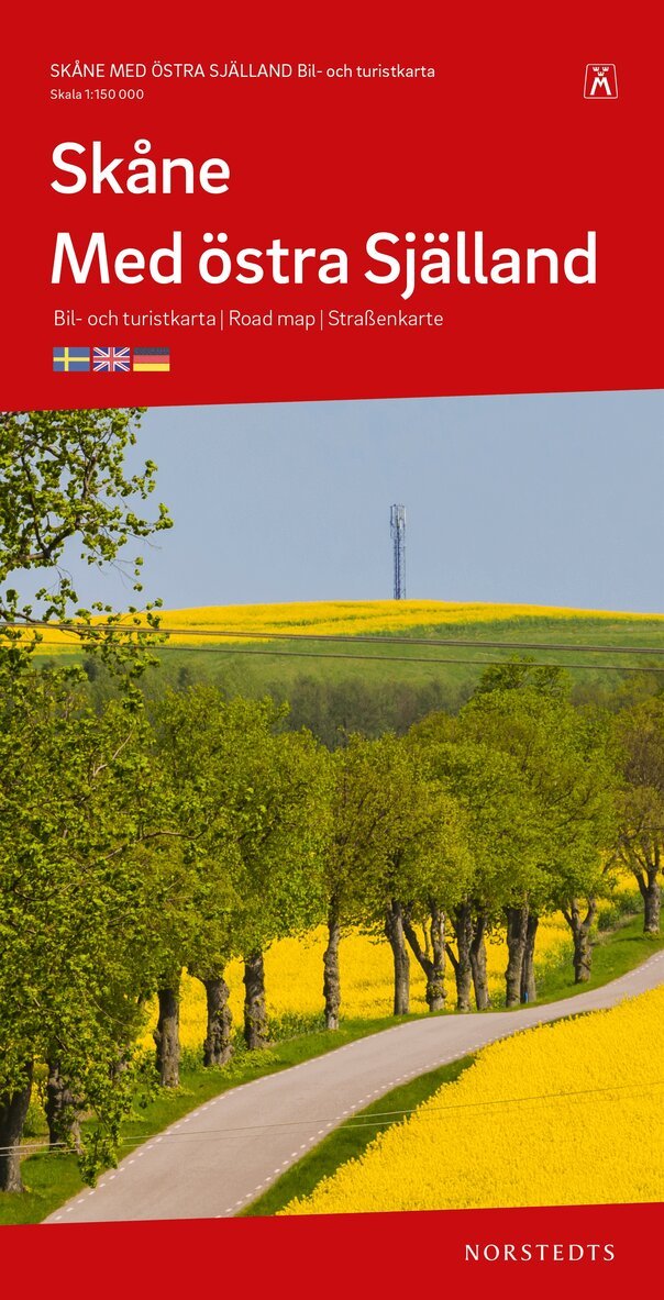
Detaljrik Skånekarta i skala 1:150 000 som även täcker in Östra Själland. En bra karta att ta med på turen och upptäcka mer av Skåne.
Kartan visar förutom vägar, vägavstånd, cykel- och vandringsleder även campingplatser, vandrarhem, golfbanor, sevärdheter, bad, gästhamnar m.m.
Teckenförklaring på svenska, danska, engelska och tyska.
157 kr
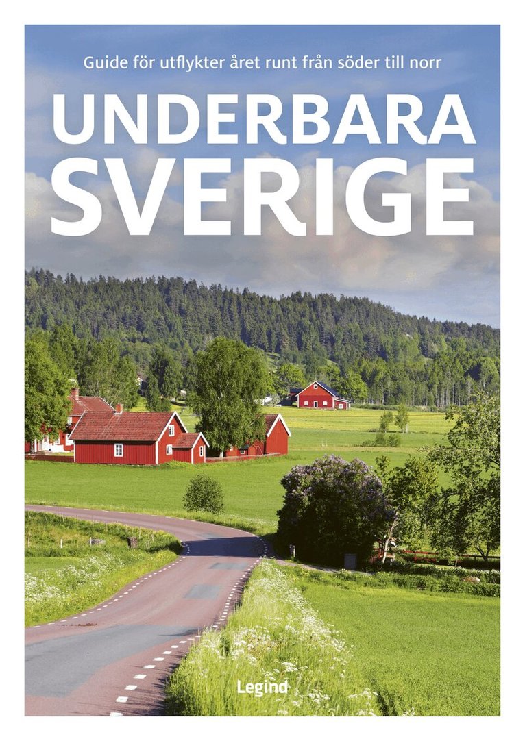
• Sevärdheter från Ystad till Kiruna
• Massor av inspiration till semestrar, utflykter och weekendresor för hela familjen
• Besök nationalparker, nöjesparker, annorlunda museer, konstnärshem, slott, gamla bruk, bondgårdar, Sveriges unika bidrag till vårt gemensamma världsarv, mysiga kaféer, gårdsbutiker och mycket mer
• Bra vägkartor över samtliga områden, med sevärdheterna utmärkta
• Karta över de viktigaste sevärdheterna som gör det lätt att hitta, oavsett om man kör bil, cyklar eller går till fots
• Förslag på cykel- och vandringsturer och vackra bilturer i hela landet
• Populära fiskevatten i Sverige
Utflykter året runt i Sverige, från söder till norr.
259 kr
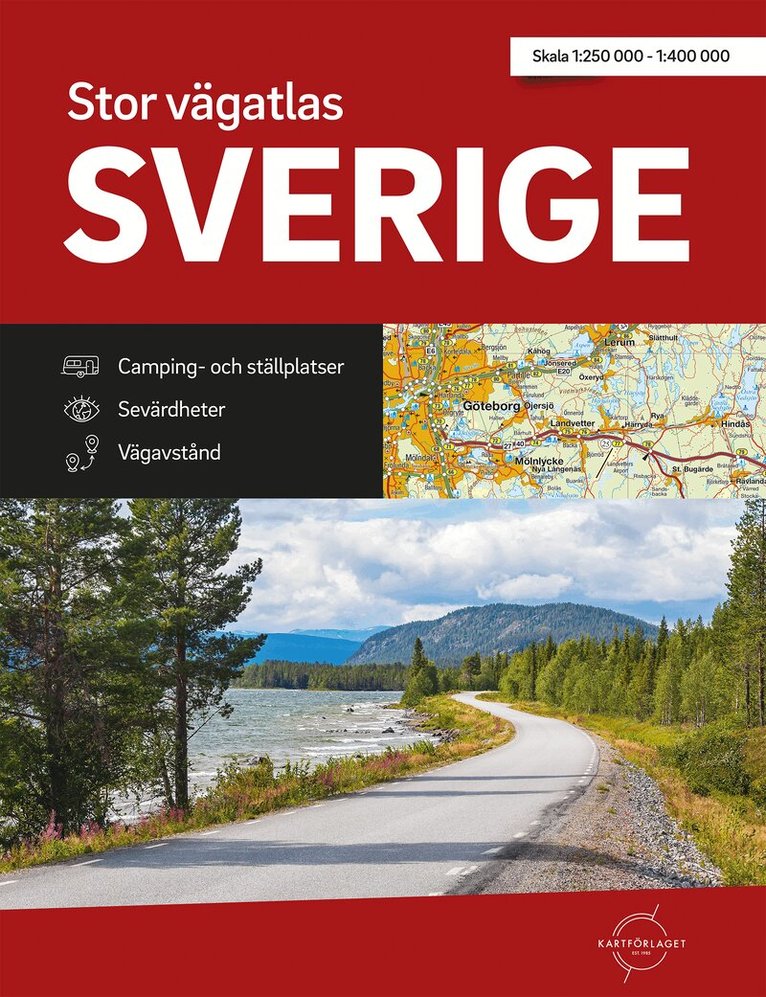
Stor vägatlas Sverige är just vad den heter, en stor bra vägatlas över Sverige i A3-format.Toppen för dig som vill se lite större område på ett uppslag. Detaljerade vägkartor i skala 1:250 000 1:400 000 som innehåller vägavstånd, trafikplatsnummer och stadskartor.I kartorna finns även information om sevärdheter, turistinformation, camping, ställplatser för husbil, golfbanor, STF-vandrarhem m.m.
Vägatlasen är spiralbunden enkel att ha uppslagen.
139 kr
Skickas
Norway - Michelin National Map 752
111 kr
Skickas inom 7-10 vardagar
111 kr
Skickas inom 7-10 vardagar
Finland - Michelin National Map 754
Map
157 kr
Skickas inom 3-6 vardagar
111 kr
Skickas inom 7-10 vardagar
162 kr
Skickas inom 3-6 vardagar
107 kr
Skickas
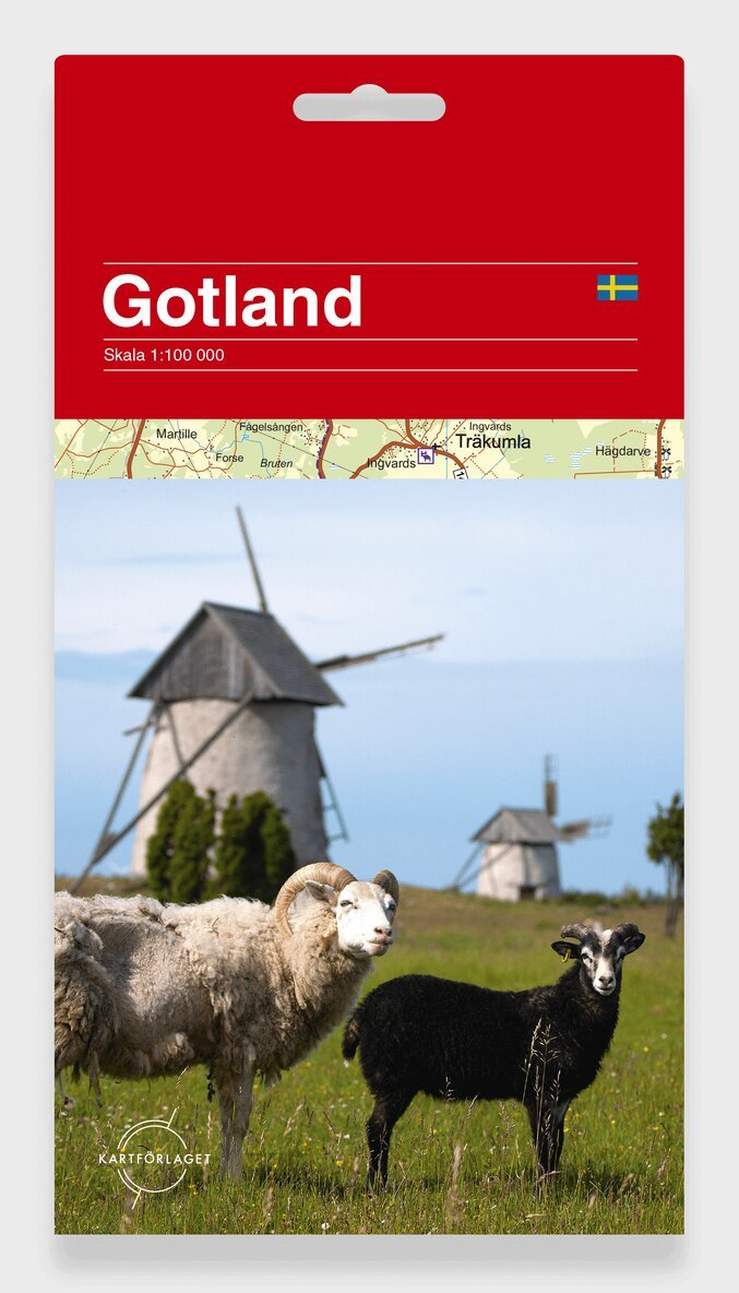
En detaljerad vägkarta som passar för att utforska Sveriges största ö med cykel eller bil. Kartan visar både bilvägar och markerad cykelväg (Gotlandsleden). Symboler för hotell, campingplatser, stugbyar och vandrarhem. Turistinformation som visar badplatser, golfbanor, väderkvarnar, fornminnen och många andra sevärdheter.
Kartan omges av vackra illustrationer av byggnader, platser, djur och natur. Illustrationerna är kompletterade med texter på svenska, engelska och tyska.
Tätortskarta över Hemse, Slite och Visby samt infälld karta över Gotska Sandön.
155 kr
Skickas
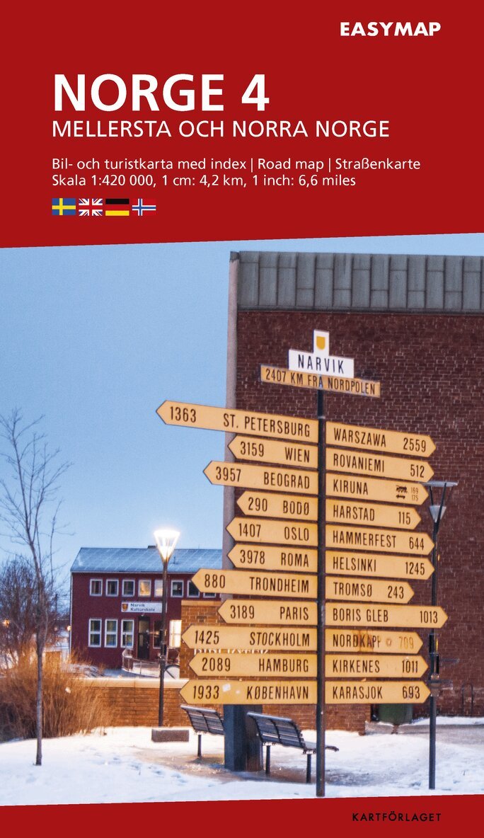
Mellersta och N. Norge 4 EasyMap, 1:420 000
145 kr
Skickas
162 kr
Skickas inom 3-6 vardagar

72 kr
Skickas inom 7-10 vardagar
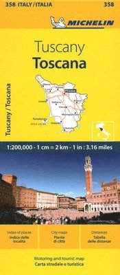
Toscana - Michelin Local Map 358
Map
72 kr
Skickas inom 7-10 vardagar
81 kr
Skickas
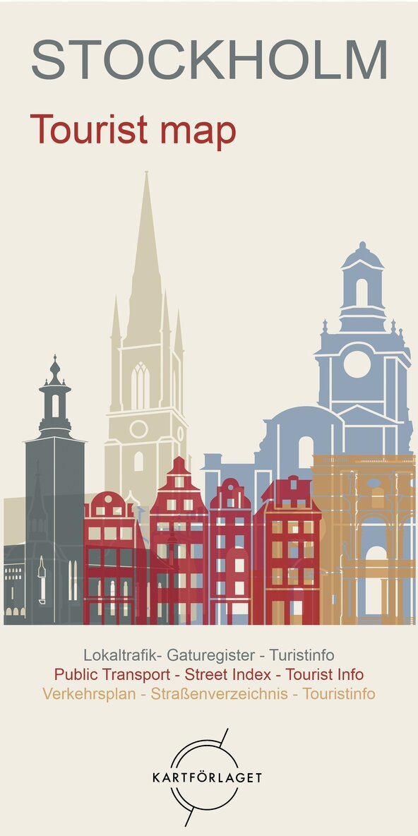
Detaljerad karta över centrala Stockholm i fickformat med register. Specialkarta över Gamla stan. Pendeltåg, spårväg och tunnelbana med stationer redovisade. Teckenförklaring på svenska och engelska.
182 kr
Skickas inom 5-8 vardagar
72 kr
Skickas inom 7-10 vardagar
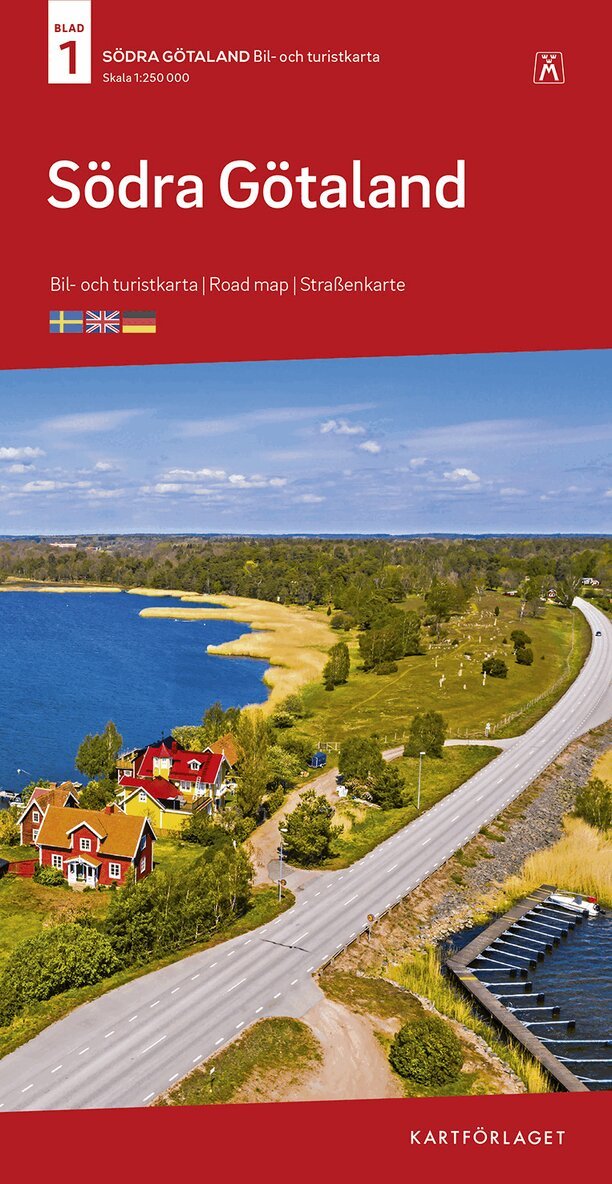
Södra Götaland Bil & Turistkarta Nr 1 : Skala 1:250.000
124 kr
Skickas
Södra Götaland Bil- och Turistkarta i skala 1:250.000 är en tydlig vägkarta med praktiskt information. Kartan täcker ett stort område och är därför utmärkt för planering av resvägar. Kartan visar olika vägtyper, väg- och avfartsnummer, avstånd, rastplatser längs vägen, campingplatser, vandrarhem, badplatser, golfbanor, sevärdheter m.m.
Teckenförklaring på svenska, engelska och tyska.
Bil- och Turistkartan är en serie om 6 blad som täcker hela Sverige. Blad 1-4 i skala 1:250.000 och blad 5-6 över norra Sverige i skala 1:400.000.
61 kr
Skickas inom 7-10 vardagar
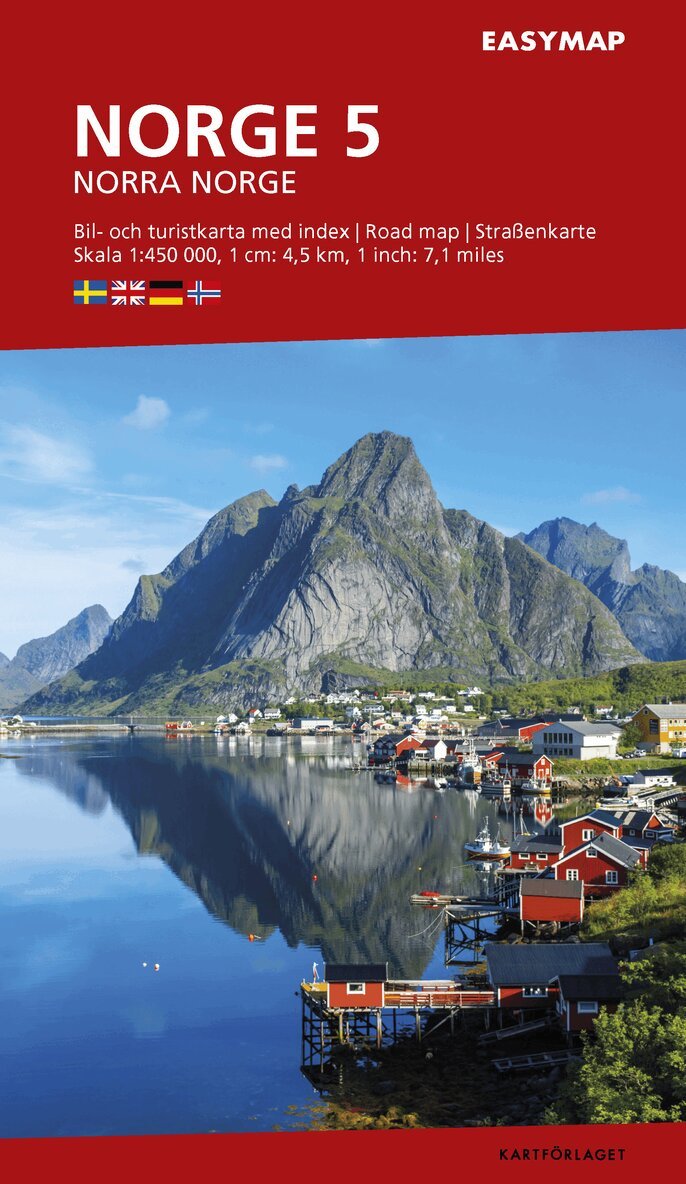
Norra Norge 5 EasyMap, 1:450 000
139 kr
Skickas