
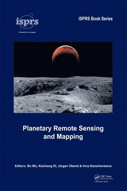
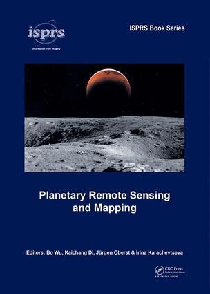
Planetary Remote Sensing and Mapping
Irina Karachevtseva, Jurgen Oberst, Kaichang Di, Bo Wu
E-bok
20181 345 kr
AvIrina Karachevtseva,Jurgen Oberst
1 345 kr
Läs direkt i Bokus Reader – eller ladda ned till din enhet
The early 21st century marks a new era in space exploration. The National Aeronautics and Space Administration (NASA) of the United States, The European Space Agency (ESA), as well as space agencies of Japan, China, India, and other countries have sent their probes to the Moon, Mars, and other planets in the solar system. Planetary Remote Sensing and Mapping introduces original research and new developments in the areas of planetary remote sensing, photogrammetry, mapping, GIS, and planetary science resulting from the recent space exploration missions.
Topics covered include:
Planetary Remote Sensing and Mapping will serve scientists and professionals working in the planetary remote sensing and mapping areas, as well as planetary probe designers, engineers, and planetary geologists and geophysicists. It also provides useful reading material for university teachers and students in the broader areas of remote sensing, photogrammetry, cartography, GIS, and geodesy.
Irina Karachevtseva, Jurgen Oberst, Kaichang Di, Bo Wu
1 345 kr
Bo Wu, Kaichang Di, Jürgen Oberst, Irina Karachevtseva
Inbunden, 2018
2 959 kr

Bo Wu, Kaichang Di, Jürgen Oberst, Irina Karachevtseva
Häftad, 2021
1 131 kr
Kaichang Di, Huimin Ma, Shengjin Wang, Qiuqi Ruan, Tieniu Tan
708 kr
Tieniu Tan, Qiuqi Ruan, Shengjin Wang, Huimin Ma, Kaichang Di
Häftad, 2015
561 kr

Jing Feng, Bo Wu, Erlie Jiang, Wen Li, Chen Meng
Häftad, 2021
1 559 kr
Shi Wenzhong, Bo Wu, Alfred Stein
Inbunden, 2015
2 424 kr

Jing Feng, Wen Ning, Dianhua Jiang, Jingyu Chen, Bo Wu
Häftad, 2021
1 227 kr


Bo Wu, Jingyu Chen, Dianhua Jiang, Wen Ning, Jing Feng
1 622 kr