
Collins Children’s World Wall Map
An Illustrated Poster for Your Wall
Engelska, 2019
100 kr
Tillfälligt slut
Beskrivning
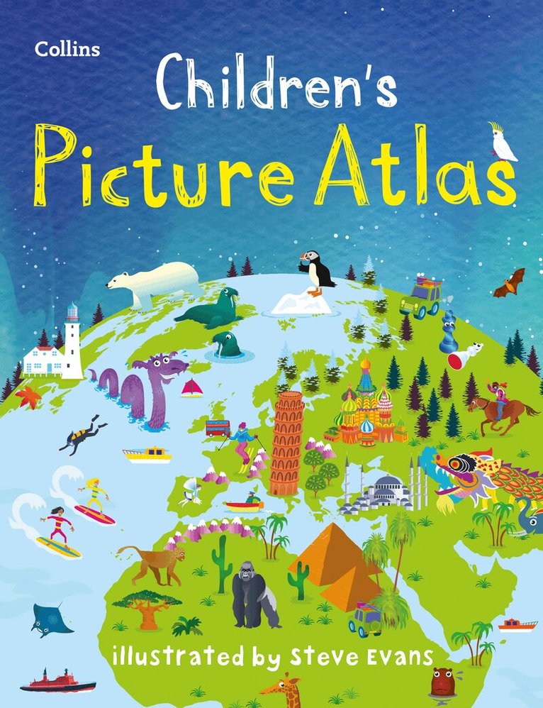
Beautifully illustrated wall map for inquisitive kidsColourful Illustrated Map of the WorldThis bestselling, highly illustrated pictorial map is designed to take children on a journey of discovery around the countries of the world. The mapping is up-to-date, colourful and highly informative and shows countries and capital cities.Stunning illustrations are used to depict themes such as national emblems, customs, food, birds, animals, buildings and sports to help younger readers gain an understanding of the world.Dimensions 610 X 915 mm / 24 x 36 inchesIllustrated by Steve Evans. Now with barcode removed due to popular demand from our customers.
Produktinformation
Utforska kategorier
Mer om författaren


Hoppa över listan
Du kanske också är intresserad av
Homework Guide 2
Jo Power, Caroline Clissold, Nicola Morgan, Louise Wallace, Cherri Moseley, Peter Clarke
Häftad, 2014
1 388 kr
Homework Guide 5
Jeanette Mumford, Sandra Roberts, Elizabeth Jurgensen, Peter Clarke
Häftad, 2014
1 388 kr
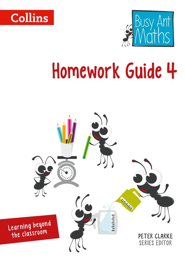
Homework Guide 4
Jeanette Mumford, Sandra Roberts, Elizabeth Jurgensen, Peter Clarke
Häftad, 2014
1 212 kr
Homework Guide 6
Jeanette Mumford, Sandra Roberts, Linda Glithro, Elizabeth Jurgensen
Häftad, 2014
1 388 kr