
Aa Publishing – författare
Visar alla böcker från författaren . Handla med fri frakt och snabb leverans.
30 produkter
30 produkter
Häftad, Engelska, 2023
160 kr
Skickas
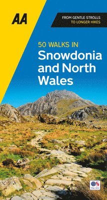
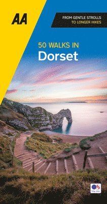
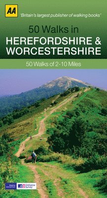
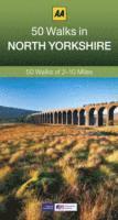
Featuring all the practical detail you need, accompanied by fascinating background reading on the history and wildlife of the area with clear mapping for ease of use. Every route has been colour coded according to difficulty. All walks are annotated with local points of interest and places to stop for refreshments. Every walk is given a summary of distance, time, gradient, level of difficulty, type of surface and access, landscape, dog friendliness, parking and public toilets.
Häftad, Italienska, 2023
79 kr
Skickas
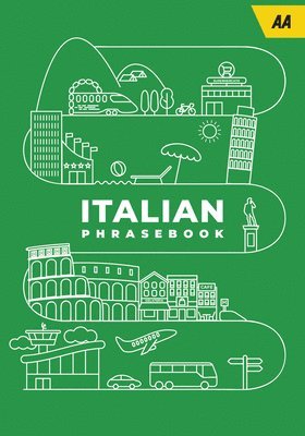
The perfect companion for travelling through Italy, the AA Italian Phrasebook contains everything you need to know in a way that's concise, accessible and easy-to-understand. Presented in a handy pocket size for ease of use, with over 2,000 essential phrases plus a 2,000 word dictionary. There are also themed sections, pronunciation tables, word lists and grammar guides, plus phonetic pronunciation in italic.
Häftad, Engelska, 2020
79 kr
Skickas
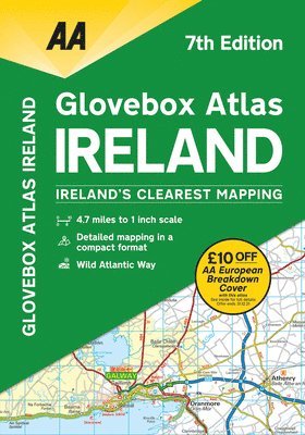
Fully updated mapping based on latest census data, this atlas includes AA-inspected camping sites, viewpoints and service areas. Toll motorways and dual carriageways are clearly shown as well as places of interest for tourists and locals. This handy A5-sized atlas at 4.7 mile to 1 inch scales makes referencing easy on the go and is the ideal companion for touring Ireland.
Häftad, Engelska, 2023
160 kr
Skickas
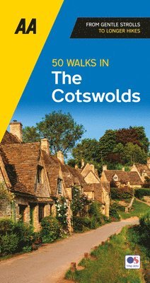
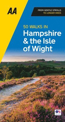
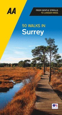
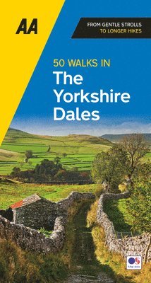
Featuring all the practical detail you need, accompanied by fascinating background reading on the history and wildlife of the area with clear mapping for ease of use. Every route has been colour coded according to difficulty. All walks are annotated with local points of interest and places to stop for refreshments. Every walk is given a summary of distance, time, gradient, level of difficulty, type of surface and access, landscape, dog friendliness, parking and public toilets.
Häftad, Engelska, 2023
155 kr
Skickas
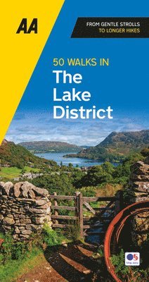
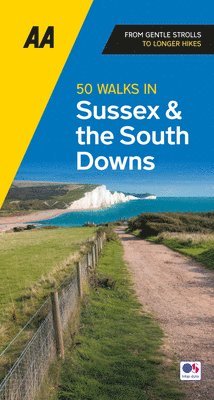
Featuring all the practical detail you need, accompanied by fascinating background reading on the history and wildlife of the area with clear mapping for ease of use. Every route has been colour coded according to difficulty. All walks are annotated with local points of interest and places to stop for refreshments. Every walk is given a summary of distance, time, gradient, level of difficulty, type of surface and access, landscape, dog friendliness, parking and public toilets.
Häftad, Engelska, 2023
160 kr
Skickas
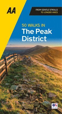
Featuring all the practical detail you need, accompanied by fascinating background reading on the history and wildlife of the area with clear mapping for ease of use. Every route has been colour coded according to difficulty. All walks are annotated with local points of interest and places to stop for refreshments. Every walk is given a summary of distance, time, gradient, level of difficulty, type of surface and access, landscape, dog friendliness, parking and public toilets.
Häftad, Engelska, 2023
155 kr
Skickas
Featuring all the practical detail you need, accompanied by fascinating background reading on the history and wildlife of the area with clear mapping for ease of use. Every route has been colour coded according to difficulty. All walks are annotated with local points of interest and places to stop for refreshments. Every walk is given a summary of distance, time, gradient, level of difficulty, type of surface and access, landscape, dog friendliness, parking and public toilets.
Häftad, Engelska, 2023
160 kr
Skickas
Featuring all the practical detail you need, accompanied by fascinating background reading on the history and wildlife of the area with clear mapping for ease of use. Every route has been colour coded according to difficulty. All walks are annotated with local points of interest and places to stop for refreshments. Every walk is given a summary of distance, time, gradient, level of difficulty, type of surface and access, landscape, dog friendliness, parking and public toilets.
Häftad, Engelska, 2023
140 kr
Skickas
A handy, flexibound glovebox sized road atlas in an A5 format. Each page has been titled with its geographical location so that you can turn to the page you need more easily. There is also a full-colour, admin map showing all the latest unitary authority areas, easy-to-use mileage chart and clear easy-to-read index with more than 23,000 place names including airports, top tourist sites and motorway services listed. Wide minor roads (more than and less than 4m wide), National Trust, English and World Heritage sites, crematorium locations and other hard-to-find places are also shown.
Häftad, Franska, 2023
95 kr
Skickas
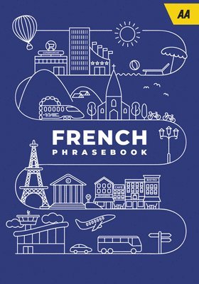
The perfect companion for travelling through France, the AA French Phrasebook contains everything you need to know in a way that's concise, accessible and easy-to-understand. Presented in a handy pocket size for ease of use, with over 2,000 essential phrases plus a 2,000 word dictionary. There are also themed sections, pronunciation tables, word lists and grammar guides, plus phonetic pronunciation in italic.
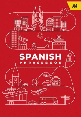
Häftad, Spanska, 2023
79 kr
Skickas
The perfect companion for travelling through Spain, the AA Spanish Phrasebook contains everything you need to know in a way that's concise, accessible and easy-to-understand. Presented in a handy pocket size for ease of use, with over 2,000 essential phrases plus a 2,000 word dictionary. There are also themed sections, pronunciation tables, word lists and grammar guides, plus phonetic pronunciation in italic.
Häftad, Franska, 2024
77 kr
Skickas
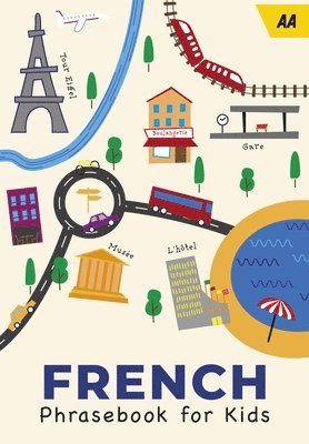
A great way to have fun and learn at the same time. Designed for children, with the emphasis on fun, these phrase books are perfect for children on the move; for holidays, school trips and exchanges. The series covers the most popular European destinations for family holidays. France, Italy and Spain are presented in cartoon format so that the text is easily accessible for children.
Häftad, Italienska, 2024
79 kr
Skickas
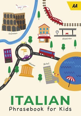
A great way to have fun and learn at the same time. Designed for children, with the emphasis on fun, these phrasebooks are perfect for children on the move; for holidays, school trips and exchanges. The series covers the most popular European destinations for family holidays. France, Italy and Spain are presented in cartoon format so that the text is easily accessible for children.
Häftad, Engelska, 2024
252 kr
Skickas
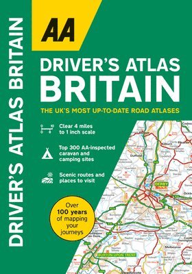
This A4 format atlas provides giant scale mapping and type throughout making it very easy to use. Each page has been titled with its geographical location so you can turn to the page you need more easily. Wide minor roads (more than and less than 4m wide), National Trust, English and World Heritage sites, crematorium locations and other hard-to-find places are indicated on the mapping. There is also a full-colour admin map showing all the latest unitary authority areas and a 6 page route-planning map.
Häftad, Engelska, 2024
189 kr
Skickas
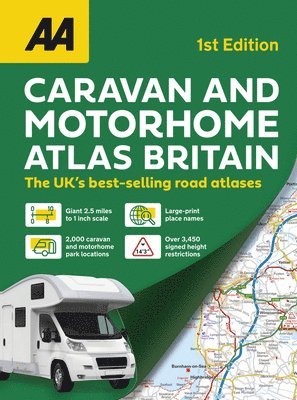
New for 2024, this A3 atlas provides information of particular importance to caravan and motorhome owners and includes named AA-inspected caravan parks and also non-AA parks, plus low bridge heights. Roads less than 4 metres wide are distinguished, as well as road tunnels, toll roads, service areas, steep gradients, level crossings and low emission zones. A special feature for caravanners is a listing of the AA-inspected sites with their ratings and 10 individual touring routes ranging from 96–480 miles with accompanying map and information on places of interest along the route. The giant scale mapping makes it easy to read and each page has been titled with its geographical location so you can turn to the page you need more easily. The atlas also includes a clear route planner map, quick reference distance chart and an explanatory list of restricted motorway junctions. Additionally there are large scale district maps of London, Birmingham, Glasgow, Manchester and Tyne & Wear. Over 8,700 places of interest shown on the mapping include National Trust and English Heritage sites, National Parks and tourist sites with the addition of scenic routes.
Häftad, Engelska, 2025
196 kr
Skickas
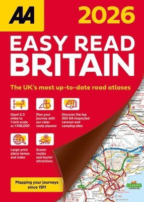
The AA Easy Read Britain 2026 is an A4 atlas providing giant scale mapping and type throughout making it very easy to use. Each page has been titled with its geographical location so you can turn to the page you need more easily.Wide minor roads (more than and less than 4m wide), National Trust, English and World Heritage sites, crematorium locations and other hard-to-find places are indicated on the mapping. There is also a full-colour admin map showing all the latest unitary authority areas and a 6 page route-planning map.
Inbunden, Engelska, 2025
251 kr
Skickas
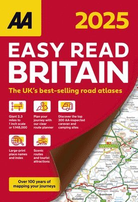
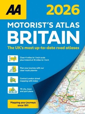
Features include top 300 AA-Inspected caravan and camping sites, over 1,800 golf courses, district mapping of London, Birmingham, Glasgow, Manchester and Newcastle. Including 100 city, town and port plans, fully indexed central London street maps and Channel Hopping and Irish sea ferry crossing maps with operator listings.Each page has been titled with its geographical location so you can turn to the page you need more easily. Wide minor roads (more than and less than 4m wide), National Trust, English and World Heritage sites, crematorium locations and other hard-to-find places are indicated on the mapping. Plus scenic routes, caravan and camping sites and over 240 service areas. There is a comprehensive index with airports, top tourist sites and motorway services included.
Häftad, Engelska, 2025
361 kr
Skickas inom 3-6 vardagar
This A4 format spiral bound road atlas provides super-clear mapping at 4 miles to 1 inch. Fully updated mapping with 70 city, town and port plans, top 300 AA-Inspected caravan and camping sites, district mapping of Birmingham, Glasgow, Manchester, London and Newcastle.Each page has been titled with its geographical location so you can turn to the page you need more easily. Wide minor roads (more than and less than 4m wide), National Trust, English and World Heritage sites, crematorium locations and other hard-to-find places are also shown.Including 70 city, town and port plans and 10 pages of central London mapping with index. A comprehensive 31,500 entry index with airports, top tourist sites and motorway services listed. The ferry port plans are inset on the mapping for ease of reference. Scenic routes, tourist sites and caravan and camping sites are symbolised on the mapping.
Häftad, Engelska
133 kr
Tillfälligt slut
Engelska
211 kr
Tillfälligt slut
211 kr
Tillfälligt slut
Häftad, Engelska, 2013
274 kr
Tillfälligt slut
Häftad, Engelska
301 kr
Tillfälligt slut
Häftad, Engelska, 2023
161 kr
Tillfälligt slut
Featuring all the practical detail you need, accompanied by fascinating background reading on the history and wildlife of the area with clear mapping for ease of use. Every route has been colour coded according to difficulty. All walks are annotated with local points of interest and places to stop for refreshments. Every walk is given a summary of distance, time, gradient, level of difficulty, type of surface and access, landscape, dog friendliness, parking and public toilets.
Häftad, Tyska, 2023
180 kr
Tillfälligt slut
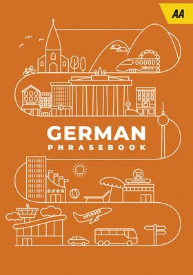
The perfect companion for travelling through Germany, the AA German Phrasebook contains everything you need to know in a way that's concise, accessible and easy-to-understand. Presented in a handy pocket size for ease of use, with over 2,000 essential phrases plus a 2,000 word dictionary. There are also themed sections, pronunciation tables, word lists and grammar guides, plus phonetic pronunciation in italic.
Häftad, Spanska, 2024
79 kr
Tillfälligt slut
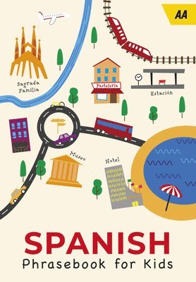
A great way to have fun and learn at the same time. Designed for children, with the emphasis on fun, these phrase books are perfect for children on the move; for holidays, school trips and exchanges. The series covers the most popular European destinations for family holidays. France, Italy and Spain are presented in cartoon format so that the text is easily accessible for children.
Häftad, Engelska, 2025
409 kr
Tillfälligt slut
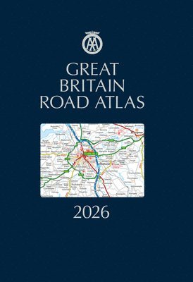
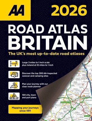
The AA Road Atlas Britain 2026 features wide and narrow minor roads, National Trust, English and World Heritage sites and hard-to-find places. There are 112 city, town, port and airport plans, full colour country, unitary and administrative area map and a comprehensive 31,500 entry index with airports, top tourist sites and motorway services listed. Plus, scenic routes, golf courses and caravan and camping sites symbolised on the mapping. Motorway maps, ferry planning information and 5 district maps provide the essential motoring content for travelling the country.
Häftad, Engelska, 2025
255 kr
Tillfälligt slut
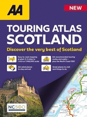
New for 2025, this specialist easy-to-read road atlas is expertly designed to help guide you around Scotland and make the most of your trip. Coverage includes road mapping of mainland Scotland at 2.3 miles to 1 inch, with Scottish islands included at a minimum scale of 7.6 miles to 1 inch.The atlas makes exploring Scotland easy with scores of great places to visit as well as scenic routes, AA-recommended tours and the iconic North Coast 500 route. Numerous useful features are located throughout the mapping using distinctive symbols including golf courses, distilleries, scenic areas, picnic sites, viewpoints and ferry routes. All AA-rated places to stay and eat are clearly marked and also named for easy cross-referencing. The location of steep gradients, snow roads and narrow roads are included to help each journey go smoothly, enabling you to choose the best route for your journey all-year round.Other handy sections in the atlas offer AA-recommended touring routes and walks, all with clear maps and directions, things to do and towns to explore, plus listings of AA-rated places to stay and eat where you can find out more information, including AA ratings and awards, addresses and contact details.From rolling hills and scenic areas to historic landmarks and more, the AA Touring Atlas of Scotland ensures you’ll uncover the very best Scotland has to offer at a price that delivers incredible value. Don’t just visit Scotland – experience it to the fullest.