
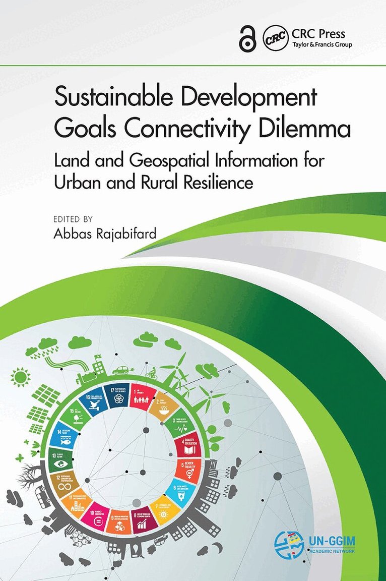
Abbas Rajabifard – författare
1 516 kr
Skickas inom 10-15 vardagar

3 055 kr
Skickas inom 10-15 vardagar
2 963 kr
Skickas inom 10-15 vardagar
1 023 kr
Skickas inom 10-15 vardagar
740 kr
Skickas inom 10-15 vardagar
733 kr
Skickas inom 10-15 vardagar
- Nyhet
1 839 kr
Skickas inom 10-15 vardagar
1 177 kr
Läs direkt efter köp

1 177 kr
Läs direkt efter köp
993 kr
Skickas inom 10-15 vardagar
2 064 kr
Skickas inom 10-15 vardagar

706 kr
Läs direkt efter köp
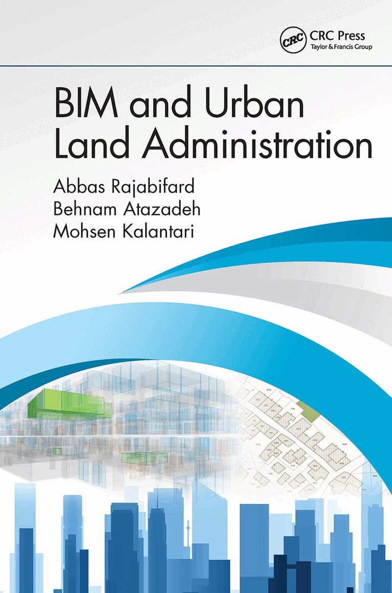
Rapid urbanization has created an unprecedented pressure on the use of land in cities around the world, resulting in physical and legal complexities. This book explains the theoretical basis and practicality of connecting urban land administration practices with the 3D digital data environment of Building Information Modelling (BIM). The main focus is to adopt a BIM-based paradigm for enhancing communication and management of complex ownership rights in multi-story buildings, which are prevalent in urban built environments. This book first elaborates on a range of data elements required for managing legal information in current land administration practices pertaining to subdivision of legal interests within multi-story building developments. It then explains how an open data model in the BIM domain – Industry Foundation Classes (IFC) – can be extended with legal data elements to lay the foundation for adopting BIM in urban land administration. The book also highlights benefits and barriers of implementing BIM-enabled urban land administration.
Features
Explains the theoretical basis and practicality of connecting urban land administration practices with the 3D digital data environment of BIM.
Highlights the existing challenges associated with current practice of urban land administration for multi-story buildings.
Introduces the potential of 3D digital environment of BIM for the purpose of mapping and registering legal interests.
Describes how BIM-based data models can be extended for recording, managing, and representing legal ownership of properties over a building''s lifecycle.
Includes models of multi-story buildings as case studies to demonstrate the feasibility of extended BIM-based data models.
706 kr
Läs direkt efter köp
Rapid urbanization has created an unprecedented pressure on the use of land in cities around the world, resulting in physical and legal complexities. This book explains the theoretical basis and practicality of connecting urban land administration practices with the 3D digital data environment of Building Information Modelling (BIM). The main focus is to adopt a BIM-based paradigm for enhancing communication and management of complex ownership rights in multi-story buildings, which are prevalent in urban built environments. This book first elaborates on a range of data elements required for managing legal information in current land administration practices pertaining to subdivision of legal interests within multi-story building developments. It then explains how an open data model in the BIM domain – Industry Foundation Classes (IFC) – can be extended with legal data elements to lay the foundation for adopting BIM in urban land administration. The book also highlights benefits and barriers of implementing BIM-enabled urban land administration.
Features
Explains the theoretical basis and practicality of connecting urban land administration practices with the 3D digital data environment of BIM.
Highlights the existing challenges associated with current practice of urban land administration for multi-story buildings.
Introduces the potential of 3D digital environment of BIM for the purpose of mapping and registering legal interests.
Describes how BIM-based data models can be extended for recording, managing, and representing legal ownership of properties over a building''s lifecycle.
Includes models of multi-story buildings as case studies to demonstrate the feasibility of extended BIM-based data models.

Science behind the COVID Pandemic and Healthcare Technology Solutions
2 007 kr
Skickas inom 10-15 vardagar

2 599 kr
Läs direkt efter köp
This book offers a timely review of modern technologies for health, with a special emphasis on wireless and wearable technologies, GIS tools and machine learning methods for managing the impacts of pandemics. It describes new strategies for forecasting evolution of pandemics, optimizing contract tracing, and for detection and diagnosis of diseases, among others. Written by researchers and professionals with different backgrounds, this book offers a extensive information and a source of inspiration for physiologists, engineers, IT scientists and policy makers in the health and technology sector.

Science behind the COVID Pandemic and Healthcare Technology Solutions
2 007 kr
Skickas inom 10-15 vardagar