
Carl McKeating – författare
208 kr
Läs direkt efter köp
166 kr
Läs direkt efter köp
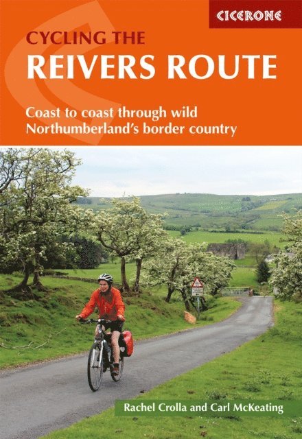
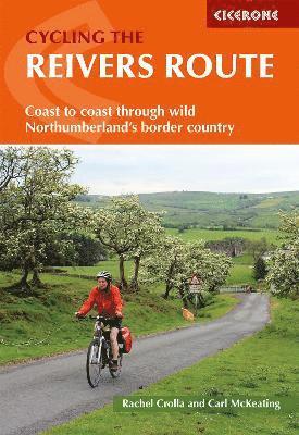
A guidebook to the 280km (173 mile) Reivers cycle route (NCN 10) across northern England. This long-distance coast-to-coast cycle between Whitehaven and Tynemouth is suitable for both first-time and experienced cyclists and can be ridden in 4 days. The route offers both on and off-road cycling and is suitable for cyclists using touring or hybrid bikes.
Presented in 4 stages between 55-82km (34-51 miles) An alternate 241km (150 mile) Borderers Ride from Gretna to Berwick-upon-Tweed is also described Route passes through the northern Lake District, Northumberland National Park and North Tynedale, as well as through Kershope Forest and around Kielder Water Overnight stops include Carlisle, Bailey Mill and Bellingham Route is described west-east but a summary description is also provided for those wanting to cycle in the opposite direction 1:100,000 mapping and profiles are included for each route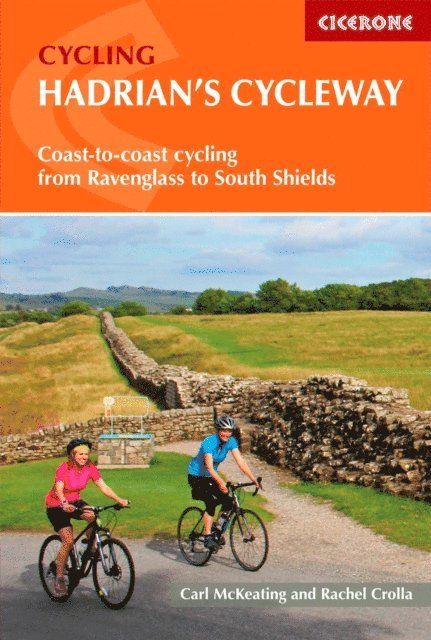
204 kr
Läs direkt efter köp
Guidebook to Hadrian’s Cycleway, a waymarked cycle route that traces what was the most northerly frontier of the Roman Empire. This 174-mile (280km) coast-to-coast route from Ravenglass in Cumbria to South Shields follows quiet roads and cycle paths and can be ridden by cyclists of all abilities.
Suggested route takes three days with stages of 53–64 miles (85–103km) Also includes more leisurely four- and five-day options, a 100-mile (161km) two-day cycle tour along Hadrian’s Wall only, and an alternative stage that rides closer to the Wall than the official route Clear route descriptions with 1:100,000 mapping, city-centre detail maps and elevation profiles The main route is described from west-east, but includes descriptions for riding east-west Includes facilities listings, local history, travel to and from the start and finish, and advice on preparing your kit, bike and self for the adventure Highlights include Ravenglass, Whitehaven, Solway Coast and AONB, Carlisle Castle, Lanercost Priory, Hexham, Tyne Bridge, Roman forts of Birdoswald, Vindolanda, Housesteads, Chesters GPX files for all route variants available for download
180 kr
Läs direkt efter köp
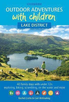
Guidebook to 40 outdoor adventures in the Lake District with children under 12, including hiking, biking, scrambling, boating, swimming, paddling, camping, bothying and hostelling. The adventures are graded, with alternatives given where they exist so families can embark on the level of adventure that suits them best. Similarly, the guide is designed for long-term use, so as children grow up they can progress to more exciting and challenging adventures.
All featured routes have been rigorously road-tested and have got the thumbs up from the harshest of critics - the under-12s. In addition to OS mapping and easy-to-follow route description, the guide also includes invaluable practical information on bike/boat hire, bases and transport in the Lake District, plus notes on adventuring safely, getting close to nature and responsibly using national parks. The guide is also visually appealing, showcasing stunning photography guaranteed to inspire.
With its twinkling tarns for skimming stones and craggy summits for scrambling, the Lake District is a natural adventure playground for children of all ages. It is the perfect place for families to share outdoor adventures, have fun together and inspire youngsters to love and cherish wild and rural landscapes.
235 kr
Läs direkt efter köp
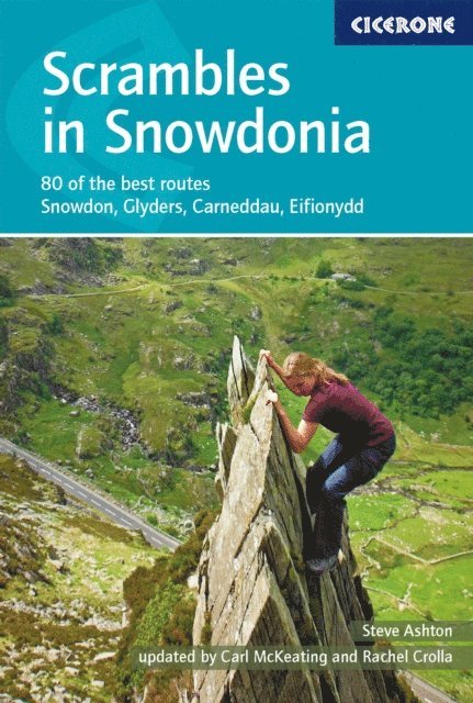
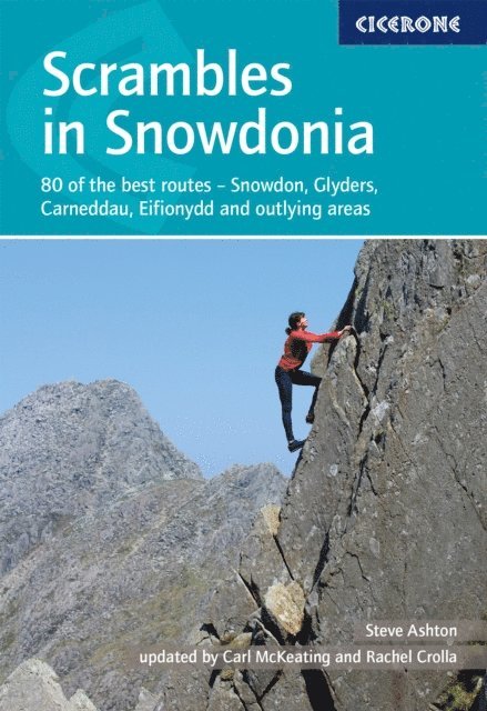
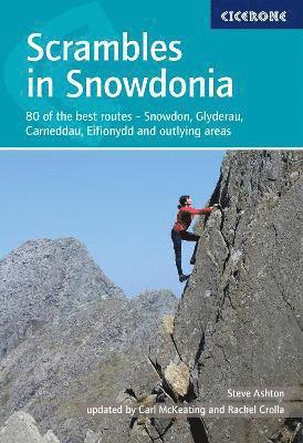
A guidebook to 80 graded scrambles in Snowdonia National Park (Eryri National Park). Covering Carneddau, Glyderau and Snowdon Group, plus the finest scrambling in Eifionydd, the Moelwyns, Rhinogs and Cadair Idris, the routes range from scrambly walks to demanding climbs involving technical difficulty and exposure. Routes range from scrambling grade 1 to grade 3S so there’s something for all abilities.
1:25,000 OS maps and topos included for each route Easy access from Llanberis, Ogwen Valley, Dolgellau Popular routes covered include the Snowdon Horseshoe, North Ridge of Tryfan, Bristly Ridge, Cneifion, Cyfrwy Arêtes Best experienced Spring through to Autumn Detailed information on safety and equipment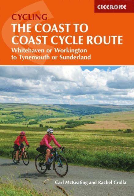
232 kr
Läs direkt efter köp
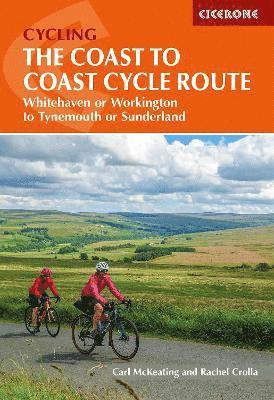
A guidebook to cycling the 220km (137 mile) Coast to Coast (C2C) cycle route from either Whitehaven or Workington to Tynemouth or Sunderland. This long-distance cycle through the Lake District, Pennines and County Durham is suitable for both first-time and experienced long-distance cyclists and can be cycled in 3 days.
Presented as a 3-day itinerary with daily stages between 64-84km (40-52 miles) in length. Alternate itineraries are also provided Route passes Keswick, Greystoke, Penrith, Renwick, Garrigill, Nenthead, Allenheads, Alston, Newcastle Route is described west-east but a summary description is also provided for those wanting to cycle in the opposite direction 1:100,000 maps are included for each stage GPX files available to download Trek planner gives detailed information about accommodation, refreshments and facilities along the route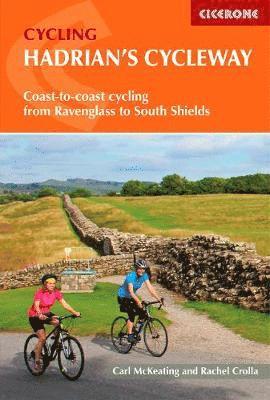
173 kr
Skickas
195 kr
Skickas
195 kr
Skickas
127 kr
Skickas
138 kr
Läs direkt efter köp
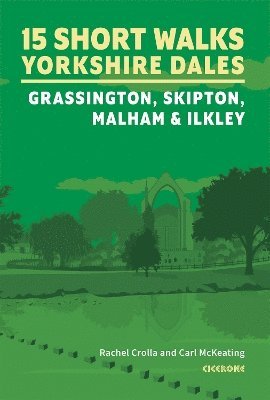
Would you like to explore the best of Grassington, Skipton, Malham and Ilkley? This guidebook covers 15 of the best short walks in the Yorkshire Dales (all under three hours), including Bolton Abbey, Malham Cove, Gordale Scar, Ilkley Moor, the Cow and Calf rocks, Grassington lead mines and Trollers Gill.
Why choose this guidebook?
Easy to moderate walks suitable for almost everyone Short climbs but no challenging terrain Numbered points which tie OS maps to clear route description Facilities, parking and highlights for every route Route Summary Table to help you choose your walkCicerone’s Short Walks guidebooks contain everything you need to get outdoors and discover the best of an area. The routes are perfect if you’re new to walking or looking for something you can enjoy with the whole family. Let the adventures begin!
208 kr
Läs direkt efter köp
- Nyhet
208 kr
Läs direkt efter köp
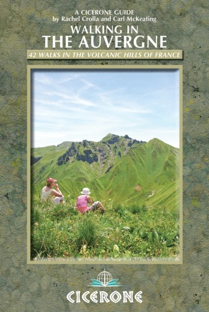
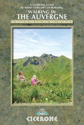
A guidebook to 42 day walks in the Auvergne. Exploring the volcanic hills of central France, the walks are suitable for beginner and experienced walkers alike.
Walks range from 2 to 16km (1–10 miles) and can be enjoyed in 1–6 hours. The routes are clustered into five different areas, making ideal bases: Cantal, the Chaîne des Puys (Monts Dômes), the Monts Dore, the Haute Loire (Livradois and Velay) and the Montagne Bourbonnaise.
Sketch maps are included for each walk Detailed information on accommodation, public transport and the region’s volcanic history Local points of interest are featured including the Livradois-Forez and Auvergne Volcanoes regional nature parks
204 kr
Läs direkt efter köp
173 kr
Skickas
150 kr
Skickas
162 kr
Skickas