
Clément Mallet – författare
Visar alla böcker från författaren . Handla med fri frakt och snabb leverans.
13 produkter
13 produkter
Franska, 2018
1 672 kr
Skickas inom 5-8 vardagar
Franska, 2018
2 003 kr
Skickas inom 5-8 vardagar
Franska, 2018
1 672 kr
Skickas inom 5-8 vardagar
Franska, 2018
1 672 kr
Skickas inom 5-8 vardagar
Inbunden, Engelska, 2018
1 819 kr
Skickas inom 5-8 vardagar
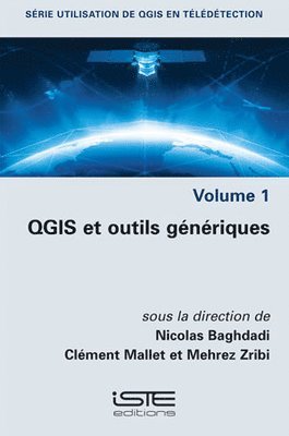
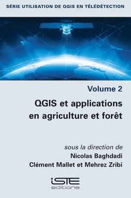
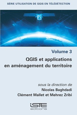
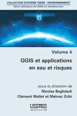
These four volumes present innovative thematic applications implemented using the open source software QGIS. These are applications that use remote sensing over continental surfaces. The volumes detail applications of remote sensing over continental surfaces, with a first one discussing applications for agriculture. A second one presents applications for forest, a third presents applications for the continental hydrology, and finally the last volume details applications for environment and risk issues.
Inbunden, Engelska, 2018
1 819 kr
Skickas inom 5-8 vardagar
These four volumes present innovative thematic applications implemented using the open source software QGIS. These are applications that use remote sensing over continental surfaces. The volumes detail applications of remote sensing over continental surfaces, with a first one discussing applications for agriculture. A second one presents applications for forest, a third presents applications for the continental hydrology, and finally the last volume details applications for environment and risk issues.
Inbunden, Engelska, 2018
1 891 kr
Skickas inom 5-8 vardagar
These four volumes present innovative thematic applications implemented using the open source software QGIS. These are applications that use remote sensing over continental surfaces. The volumes detail applications of remote sensing over continental surfaces, with a first one discussing applications for agriculture. A second one presents applications for forest, a third presents applications for the continental hydrology, and finally the last volume details applications for environment and risk issues.
Inbunden, Engelska, 2018
1 819 kr
Skickas inom 5-8 vardagar
Our four volumes propose to present innovative thematic applications implemented using the open source software QGIS. These are applications that use remote sensing over continental surfaces. The four volumes detail applications of remote sensing over continental surfaces, with a first one discussing applications for agriculture. A second one presents applications for forest, a third presents applications for the continental hydrology, and finally the last volume details applications for environment and risk issues.
Inbunden, Engelska, 2024
1 720 kr
Skickas inom 5-8 vardagar
Earth observation has witnessed a unique paradigm change in the last decade with a diverse and ever-growing number of data sources. Among them, time series of remote sensing images has proven to be invaluable for numerous environmental and climate studies.Multitemporal Earth Observation Image Analysis provides illustrations of recent methodological advances in data processing and information extraction from imagery, with an emphasis on the temporal dimension uncovered either by recent satellite constellations (in particular the Sentinels from the European Copernicus programme) or archival aerial images available in national archives.The book shows how complementary data sources can be efficiently used, how spatial and temporal information can be leveraged for biophysical parameter estimation, classification of land surfaces and object tracking, as well as how standard machine learning and state-of-the-art deep learning solutions can solve complex problems with real-world applications.
1 580 kr
Skickas inom 5-8 vardagar
Spanska, 2020
1 285 kr
Skickas inom 5-8 vardagar
1 340 kr
Skickas inom 5-8 vardagar
Spanska, 2020
1 340 kr
Skickas inom 5-8 vardagar