
Edgar Butwilowski – författare
Visar alla böcker från författaren . Handla med fri frakt och snabb leverans.
5 produkter
5 produkter
120 kr
Läs direkt efter köp
Your essential companion to the textbook "e;Introduction to Geostatistics with Python and OpenStreetMap"e;!Are you working with the textbook "e;Introduction to Geostatistics with Python and OpenStreetMap"e;? Then this solutions manual is your essential partner on the path to mastery. It is the key to unlocking the full potential of the main work and ensuring that you not only apply the concepts but truly internalize them from the ground up. This book is far more than a mere collection of code answers; it is a profound learning companion. Here you will find not only the correct and clean Python implementations for every single exercise but also invaluable, detailed explanations of the logic and mathematical principles behind the code. Why is the median calculated in a specific way for an even number of values? How should the standard deviation formula be understood step-by-step? This book answers these questions and transforms mere lines of code into deep, sustainable understanding. It teaches you the crucial skill of interpreting the results of your analyses and understanding the story the data tells. You learn to master the step from the calculated number to the meaningful insight. The true value of this solutions manual is revealed in the complex, real-world project assignments. When it comes to finding the optimal location for a drone fleet, this book doesn't just provide the final coordinates. It guides you through the entire thought process: from data analysis and comparing results to formulating a clear, professional, and data-driven course of action, as expected of a real data analyst. You learn how to derive convincing strategic insights from numbers.
E-bok
Engelska, 2025239 kr
Läs direkt efter köp
In an era where data swells into a digital tsunami, understanding the language of space is a key competence for navigating our interconnected world. This book is your compass for mastering that language. Using two of the most powerful and accessible digital tools-Python and OpenStreetMap-you will embark on a hands-on journey into the world of geostatistics. Designed for readers with basic programming experience, this compact textbook starts with the absolute fundamentals and quickly builds toward real-world applications. You will learn to forge your own geostatistical tools, from functions that calculate the mean and median of spatial data to powerful methods for determining the true center of a distribution, the most central existing feature, and the dispersion of data points. By the end, you won't just have a technical manual; you will hold a new lens through which to view the world, capable of transforming raw data into valuable insights and strategic recommendations. Are you ready to shape the world of tomorrow? The journey begins here. In addition to this textbook, the separately available "e;Solution Book for Introduction to Geostatistics with Python and OpenStreetMap"e; is offered, which contains the complete solutions to all tasks and thus allows you to optimally monitor your learning progress.
Inbunden, Engelska, 2014
1 083 kr
Skickas inom 10-15 vardagar
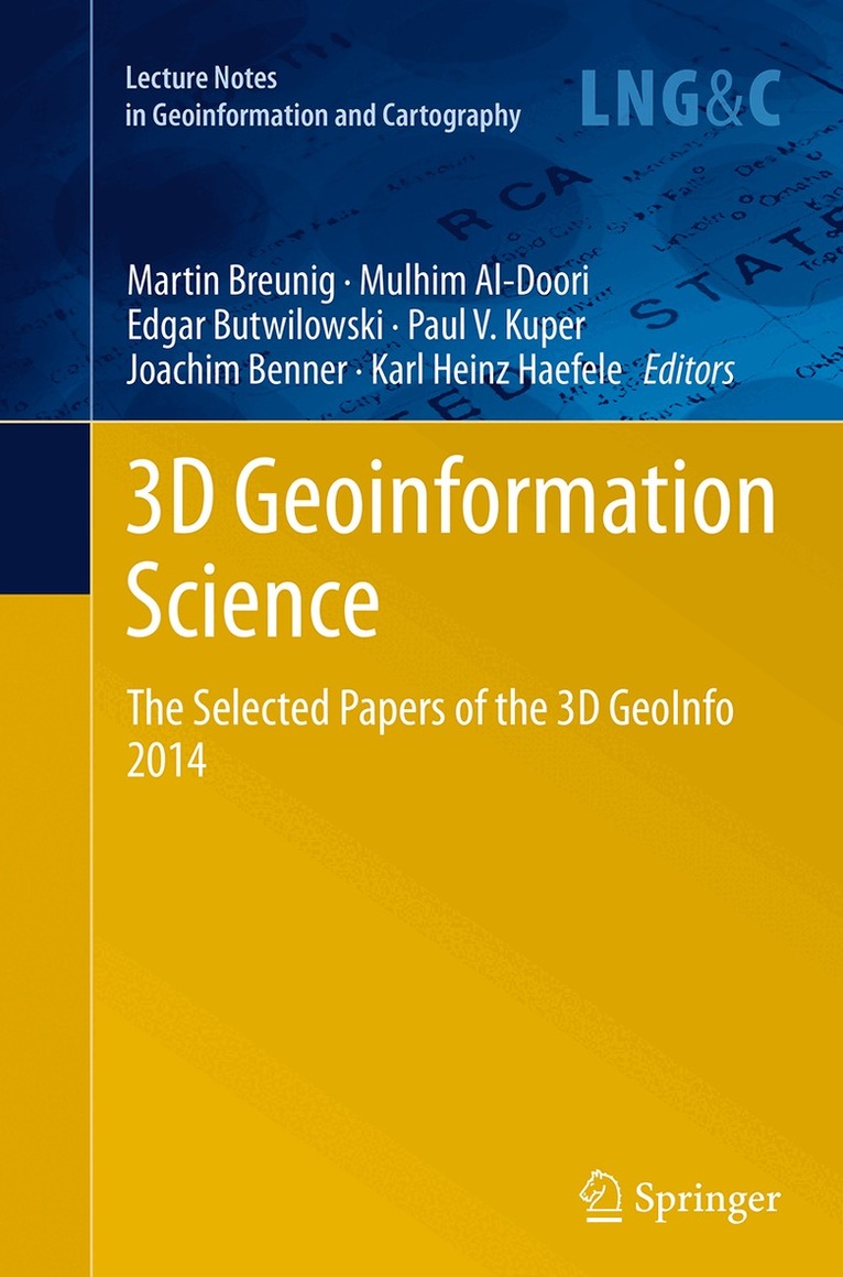
Nowadays 3D Geoinformation is needed for many planning and analysis tasks. For example, 3D city and infrastructure models are paving the way for complex environmental and noise analyzes. 3D geological sub-surface models are needed for reservoir exploration in the oil-, gas-, and geothermal industry. Thus 3D Geoinformation brings together researchers and practitioners from different fields such as the geo-sciences, civil engineering, 3D city modeling, 3D geological and geophysical modeling, and, last but not least, computer science. The diverse challenges of 3D Geoinformation Science concern new approaches and the development of standards for above- and under-ground 3D modeling, efficient 3D data management, visualization and analysis. Finally, the integration of different 3D approaches and data models is seen as one of the most important challenges to be solved.
E-bok
PDF, Engelska, 20141 416 kr
Läs direkt efter köp
Nowadays 3D Geoinformation is needed for many planning and analysis tasks. For example, 3D city and infrastructure models are paving the way for complex environmental and noise analyzes. 3D geological sub-surface models are needed for reservoir exploration in the oil-, gas-, and geothermal industry. Thus 3D Geoinformation brings together researchers and practitioners from different fields such as the geo-sciences, civil engineering, 3D city modeling, 3D geological and geophysical modeling, and, last but not least, computer science. The diverse challenges of 3D Geoinformation Science concern new approaches and the development of standards for above- and under-ground 3D modeling, efficient 3D data management, visualization and analysis. Finally, the integration of different 3D approaches and data models is seen as one of the most important challenges to be solved.
Häftad, Engelska, 2016
1 083 kr
Skickas inom 10-15 vardagar
Nowadays 3D Geoinformation is needed for many planning and analysis tasks. For example, 3D city and infrastructure models are paving the way for complex environmental and noise analyzes. 3D geological sub-surface models are needed for reservoir exploration in the oil-, gas-, and geothermal industry. Thus 3D Geoinformation brings together researchers and practitioners from different fields such as the geo-sciences, civil engineering, 3D city modeling, 3D geological and geophysical modeling, and, last but not least, computer science. The diverse challenges of 3D Geoinformation Science concern new approaches and the development of standards for above- and under-ground 3D modeling, efficient 3D data management, visualization and analysis. Finally, the integration of different 3D approaches and data models is seen as one of the most important challenges to be solved.