Fabio Bayro Kaiser – författare
Visar alla böcker från författaren Fabio Bayro Kaiser. Handla med fri frakt och snabb leverans.
3 produkter
3 produkter
Häftad, Engelska, 2023
546 kr
Skickas inom 10-15 vardagar
Andean dry forest ecosystems are threatened by deforestation and unsustainable land use methods. The negative effects for the livelihood of the local population, biodiversity, and the regional climate could be countered by reforestation measures; however, dry land forests have not attracted the same level of interest and investment like other ecosystems. This book describes the development of a priority-zone map for reforestation measures, showing where reforestation might have the greatest social and ecological benefits. To achieve this, a problem analysis of a case study region is conducted and thematic reforestation benefits are determined. Using remote sensing and GIS, the areas where benefits can be obtained are mapped in individual layers and compiled into a summarizing priority-zone map. It is thus possible to identify areas where reforestation would achieve multiple benefits. The concept of priority maps could be used to facilitate reforestation strategies by local communitiesand municipal governments and could thus contribute to initiate an integrated forest and landscape restoration of the Bolivian montane dry forests.
E-bok
Engelska, 2023712 kr
Läs direkt efter köp
Andean dry forest ecosystems are threatened by deforestation and unsustainable land use methods. The negative effects for the livelihood of the local population, biodiversity, and the regional climate could be countered by reforestation measures; however, dry land forests have not attracted the same level of interest and investment like other ecosystems. This book describes the development of a priority-zone map for reforestation measures, showing where reforestation might have the greatest social and ecological benefits. To achieve this, a problem analysis of a case study region is conducted and thematic reforestation benefits are determined. Using remote sensing and GIS, the areas where benefits can be obtained are mapped in individual layers and compiled into a summarizing priority-zone map. It is thus possible to identify areas where reforestation would achieve multiple benefits. The concept of priority maps could be used to facilitate reforestation strategies by local communitiesand municipal governments and could thus contribute to initiate an integrated forest and landscape restoration of the Bolivian montane dry forests.
Häftad, Engelska, 2026
538 kr
Kommande
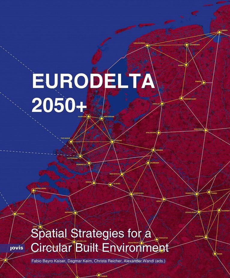
How can the transition to circular construction be organized at the territorial scale? Focusing on the Eurodelta region, which spans parts of the Netherlands, Belgium, and Germany, the book examines how cities, regions, and infrastructure systems can collaborate to support the circular transformation of the built environment. Based on the findings of the ASSET project, it demonstrates how spatial planning, policy, and infrastructure can reduce waste, reuse materials, and rethink urban development.Addressing both opportunities and limitations, the volume provides insights into real-world challenges such as housing demand, resource scarcity, and fragmented governance. Rather than offering one-sizefits-all solutions, it promotes practical, place-based approaches to circularity. By fostering more coordinated regional strategies, it offers valuable insights for planners, policymakers, and researchers engaged in circular transition processes.Spatial strategies for circular construction in the Eurodelta megaregionCartography of material flows, infrastructures, and industrial landscapesPractical insights for cross-border planning, aimed at planners, policymakers, and practitioners