
Francis Harvey – författare

637 kr
Skickas inom 3-6 vardagar
977 kr
Skickas inom 10-15 vardagar
1 160 kr
Läs direkt efter köp
1 160 kr
Läs direkt efter köp

244 kr
Skickas inom 5-8 vardagar

192 kr
Skickas inom 5-8 vardagar

375 kr
Skickas inom 5-8 vardagar
1 083 kr
Skickas inom 10-15 vardagar

1 416 kr
Läs direkt efter köp
1 083 kr
Skickas inom 10-15 vardagar
1 622 kr
Skickas inom 10-15 vardagar
1 575 kr
Läs direkt efter köp
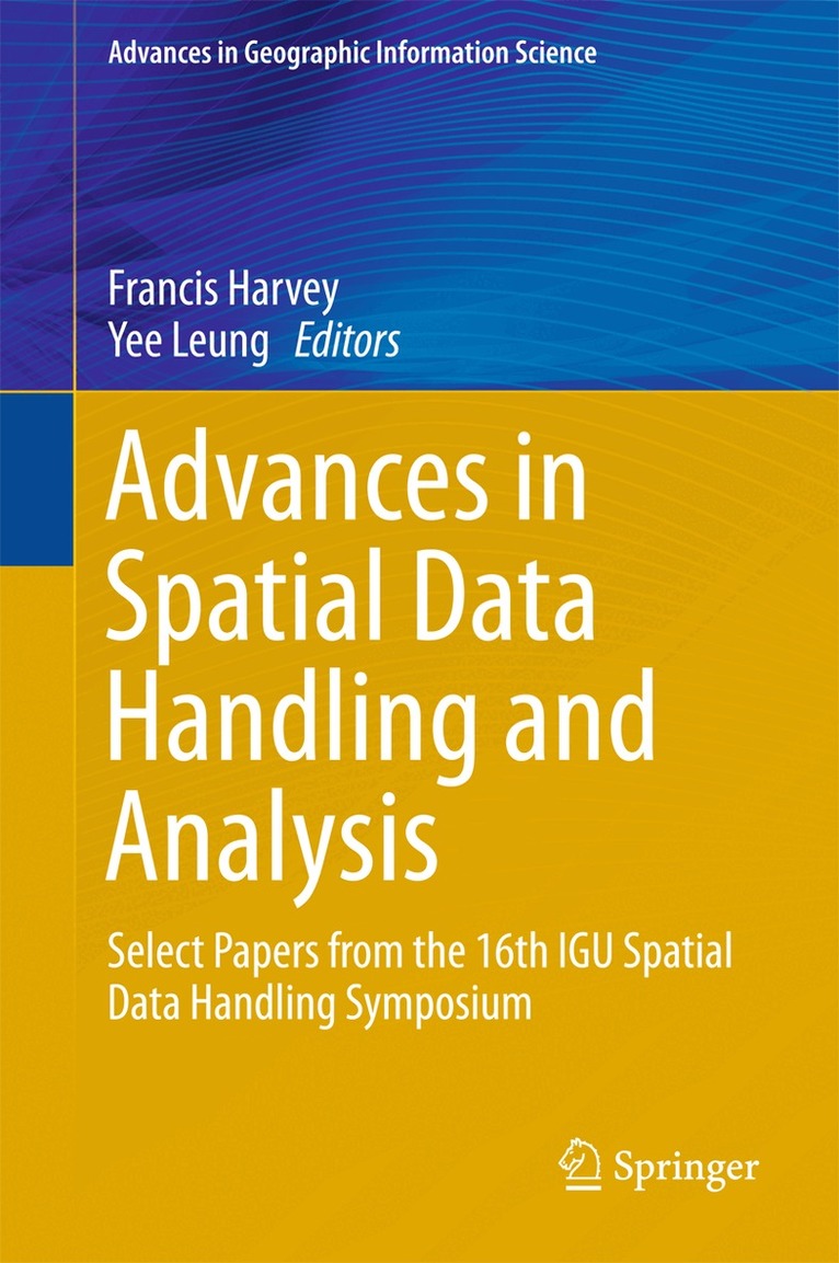
This proceedings volume introduces recent work on the storage, retrieval and visualization of spatial Big Data, data-intensive geospatial computing and related data quality issues. Further, it addresses traditional topics such as multi-scale spatial data representations, knowledge discovery, space-time modeling, and geological applications.
Spatial analysis and data mining are increasingly facing the challenges of Big Data as more and more types of crowd sourcing spatial data are used in GIScience, such as movement trajectories, cellular phone calls, and social networks. In order to effectively manage these massive data collections, new methods and algorithms are called for. The book highlights state-of-the-art advances in the handling and application of spatial data, especially spatial Big Data, offering a cutting-edge reference guide for graduate students, researchers and practitioners in the field of GIScience.
1 191 kr
Skickas inom 10-15 vardagar

1 183 kr
Tillfälligt slut