
Hans Kamermans – författare
Visar alla böcker från författaren . Handla med fri frakt och snabb leverans.
4 produkter
4 produkter
Del 2029 - BAR International Series
Technology and Methodology for Archaeological Practice: Practical applications for the reconstruction of the past / Technologie et Méthodologie pour l
Practical applications for the past reconstruction / Applications pratiques pour la reconstruction du passé
Häftad, Engelska, 2009
391 kr
Skickas inom 3-6 vardagar
Del 2588 - BAR International Series
Sense of the Past
Studies in current archaeological applications of remote sensing and non-invasive prospection methods
Häftad, Engelska, 2014
911 kr
Skickas inom 5-8 vardagar
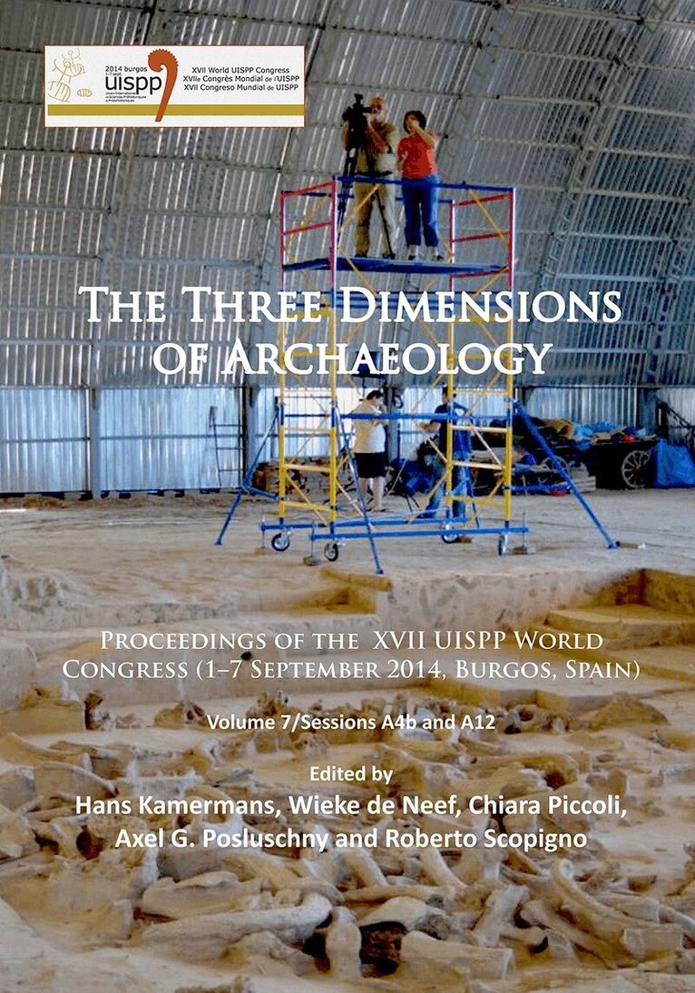
Del 7 - Proceedings of the XVII UISPP World Congress (1–7 September 2014, Burgos, Spain)
Three Dimensions of Archaeology
Proceedings of the XVII UISPP World Congress (1–7 September, Burgos, Spain). Volume 7/Sessions A4b and A12
Häftad, Engelska, 2016
450 kr
Skickas
This volume brings together presentations from two sessions organized for the XVII World UISPP Conference that was held from 1-7 September 2014 in Burgos (Spain). The sessions are: The scientific value of 3D archaeology, organised by Hans Kamermans, Chiara Piccoli and Roberto Scopigno, and Detecting the Landscape(s) – Remote Sensing Techniques from Research to Heritage Management, organised by Axel Posluschny and Wieke de Neef. The common thread amongst the papers presented here is the application of digital recording techniques to enhance the documentation and analysis of the spatial component intrinsically present in archaeological data. For a long time the capturing of the third dimension, the depth, the height or z-coordinate, was problematic. Traditionally, excavation plans and sections were documented in two dimensions. Objects were also recorded in two dimensions, often from different angles. Remote sensing images like aerial photographs were represented as flat surfaces. Although depth could be visualized with techniques such as stereoscopes, analysis of relief was troublesome. All this changed at the end of the last century with the introduction of computer based digitization technologies, 3D software, and digital near-surface sampling devices. The spatial properties of the multi-scale archaeological dataset can now be accurately recorded, analysed and presented. Relationships between artefacts can be clarified by visualizing the records in a three dimensional space, computer-based simulations can be made to test hypotheses on the past use of space, remote sensing techniques help in detecting previously hidden features of landscapes, thus shedding light on bygone land uses.
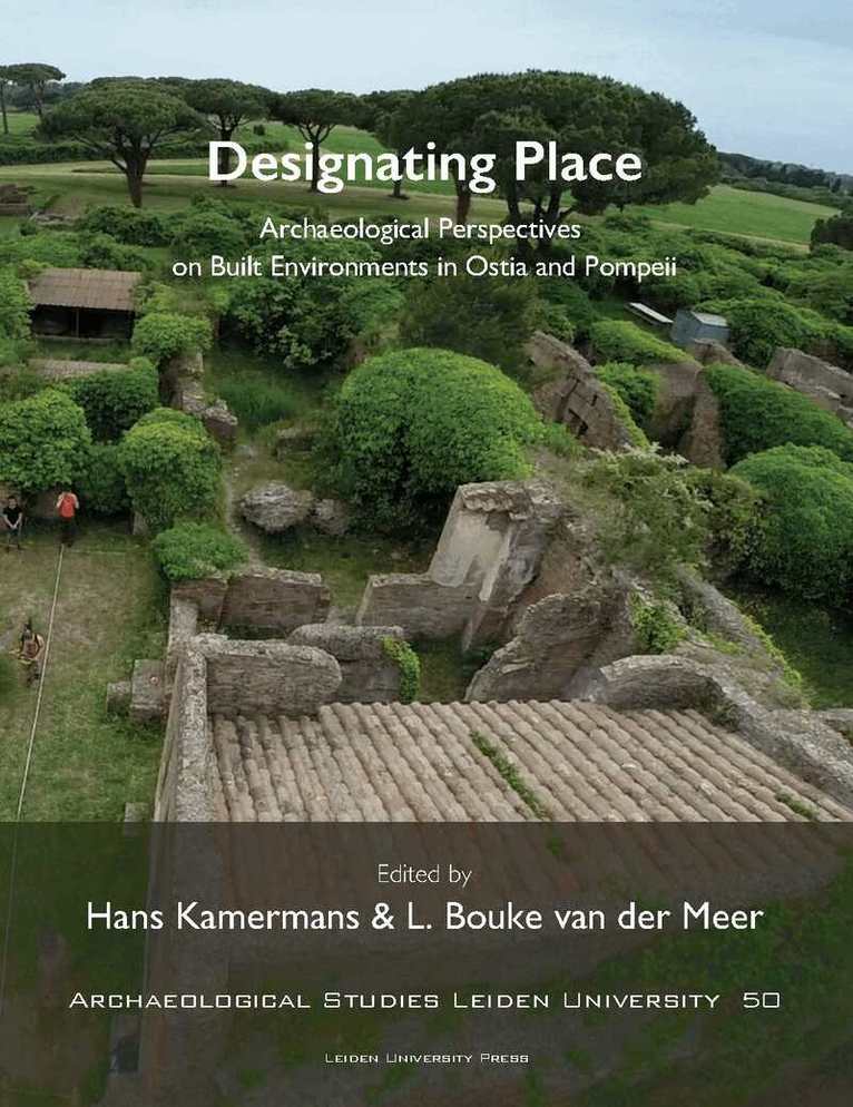
Häftad, Engelska, 2020
1 218 kr
Skickas inom 5-8 vardagar
Spatial analysis on the basis of material culture has always been one of the major topics in archaeological research. Designating Place analyses the urban space of Roman Ostia and Pompeii in different ways, namely via geophysical analysis, spatial analysis, iconographic analysis and epigraphic analysis. This book honors the work of Hanna Stöger, the Leiden scholar who died in 2018. Hanna's work in Ostia was not finished and this book contains contributions from people who inspired her, people she worked with, people she inspired and people who presented on sessions she organized. The book presents new data on Ostia obtained by techniques such as Space Syntax, high-resolution, shallow seismic reflection survey, the analysis of operational-sequences, linguistic landscape studies and collective memory studies, by scholars from the Netherlands, Canada, Germany, Italy, Japan, Norway, the UK, and the USA. As a bonus a selection of these papers form a hidden book on Roman bathing and water management.