
J. C. Briden – författare
Visar alla böcker från författaren . Handla med fri frakt och snabb leverans.
2 produkter
2 produkter
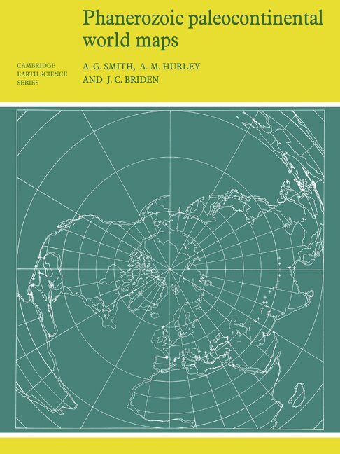
Häftad, Engelska, 1981
545 kr
Skickas inom 7-10 vardagar
First published in 1980, this book shows the positions of the major continental areas during the past 560 million years as four series of computer-drawn maps. The maps have been drawn for the present day, 10 and 20 million years ago, then at 20-million-year intervals back to 240 million years, and finally at 40-million-year intervals to 560 million years ago. All the maps are based on quantitative geophysical or topographic information: paleomagnetic pole positions, ocean floor magnetic anomalies, and best fits of the continental margins. Cylindrical equidistant and Lambert equal-area polar projections are used, with a thirty-degree latitude-longitude grid. Many interesting problems in the Earth Sciences are global. These maps provide a framework on which a wide variety of data may be plotted. Problems in fields as widely separated as palenontology, stratigraphy, geochemistry and tectonics may usefully be displayed on these maps.
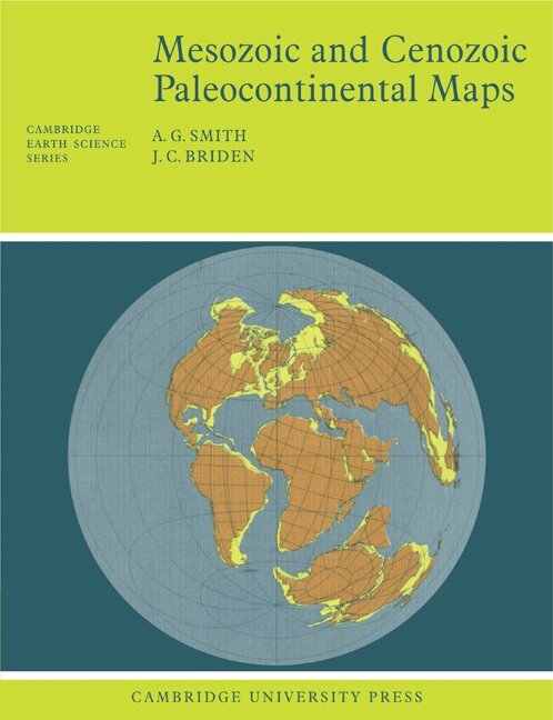
Häftad, Engelska, 1977
545 kr
Skickas inom 7-10 vardagar
First published in 1977, this book shows the positions of the major continental areas during the past 220 million years as four series of computer-drawn maps. The maps have been drawn for the present day, 10 and 20 million years ago, then at 20-million-year intervals back to 220 million years. All the maps are based on quantitative geophysical or topographic information: paleomagnetic pole positions, ocean floor magnetic anomalies, and best fits of the continental margins. Mercator, north polar and south polar sterographic, and Lambert equal-area maps of each selected time interval are provided. Many interesting problems in the Earth Sciences are global; they need to be seen in a proper global setting. The maps provide such a framework on which a very wide range of geological information may be plotted. Problems in fields as widely separated as palenontology, stratigraphy, geochemistry and tectonics may usefully be displayed on these maps.