
Jay Gao – författare
2 928 kr
Skickas inom 3-6 vardagar
Publisher's Note: Products purchased from Third Party sellers are not guaranteed by the publisher for quality, authenticity, or access to any online entitlements included with the product.
Explore the Latest Techniques and Trends in Remotely Sensed Digital Image Analysis!
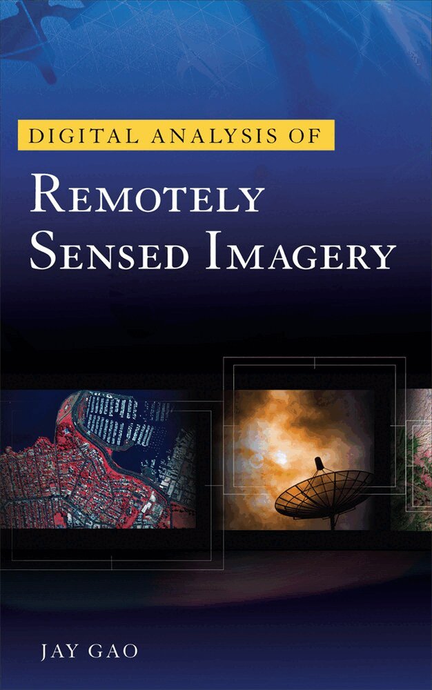
Written in easy-to-follow language with a minimum of technical jargon, Digital Analysis of Remotely Sensed Imageryprovides exhaustive coverage of the entire process of analyzing remotely sensed data for the purpose of producing accurate representations in thematic map format. The book explores cutting-edge techniques and trends in image analysis, as well as the relationship between image processing and other recently emerged special technologies.
Filled with numerous references to the current literature, this essential imaging resource paints a vivid picture of the current status of innovative image analysis methods and future directions in the field. Find state-of-the-art information on storage of remotely sensed data…the image analysis system…image rectification…image enhancement…image classification...accuracy assessment…change detection…intelligent image classification…decision tree classification…integration of image analysis with GIS/GPS…and much more. Digital Analysis of Remotely Sensed Imagery features:
Comprehensive, up-to-date coverage of remotely sensed image processingDetails on the relationship between image processing and other recently emerged special technologiesPromising new trends and future directions in image analysisA lavish 16-page color insertInside this Expert Guide to Analyzing Remotely Sensed Images• Remotely sensed data • Storage of remotely sensed data • The image analysis system • Image rectification • Image enhancement • Image classification • Accuracy assessment • Change detection • Intelligent image classification • Decision tree classification • Innovative image classification • Integration of image analysis with GIS/GPS
2 481 kr
Läs direkt efter köp
An important text that identifies and introduces new trends in image analysis
Digital Analysis of Remotely Sensed Imagery provides thorough coverage of the entire process of analyzing remotely sensed data for the purpose of producing accurate representations in thematic map format. Written in easy-to-follow language with minimal technical jargon, the book explores cutting-edge techniques and trends in image analysis, as well as the relationship between image processing and other recently emerged special technologies.
802 kr
Läs direkt efter köp

795 kr
Läs direkt efter köp
860 kr
Läs direkt efter köp
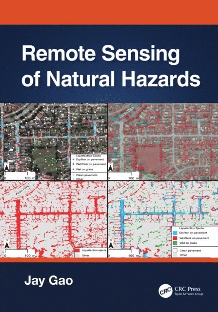
This book presents a comprehensive coverage of remote sensing technology used to gather information on 12 types of natural hazards in the terrestrial sphere, biosphere, hydrosphere, and atmosphere. It clarifies in detail how to yield spatial and quantitative data on a natural hazard, including its spatial distribution, severity, causes, and the likelihood of occurrence. The author explains multiple methods of attaining data, describes the pros and cons of each method, and encourages readers to choose the best method applicable to their case. The author offers a practical approach to data analysis using the most appropriate methods and software.
1. Covers all major natural hazards including hurricanes, tornadoes, wildfires, and avalanches.
2. Studies each natural hazard holistically, ranging from spatial extent, severity, impact assessment, causes, and prediction of occurrence.
3. Explains different remotely sensed data and the most appropriate method used.
4. Compares different ways of sensing and clarifies the pros and cons of any selected data or their analysis.
5. Provides ample examples of each aspect of a natural hazard studied augmented with graphic illustrations and quality assurance information.
All professionals working in the field of natural hazards, senior undergraduate, and graduate students, will find in-depth approaches and sufficient information to become knowledgeable in the methods of yielding and analyzing data provided with remote sensing technology, ultimately providing a deeper understanding of natural hazards.

860 kr
Läs direkt efter köp
This book presents a comprehensive coverage of remote sensing technology used to gather information on 12 types of natural hazards in the terrestrial sphere, biosphere, hydrosphere, and atmosphere. It clarifies in detail how to yield spatial and quantitative data on a natural hazard, including its spatial distribution, severity, causes, and the likelihood of occurrence. The author explains multiple methods of attaining data, describes the pros and cons of each method, and encourages readers to choose the best method applicable to their case. The author offers a practical approach to data analysis using the most appropriate methods and software.
1. Covers all major natural hazards including hurricanes, tornadoes, wildfires, and avalanches.
2. Studies each natural hazard holistically, ranging from spatial extent, severity, impact assessment, causes, and prediction of occurrence.
3. Explains different remotely sensed data and the most appropriate method used.
4. Compares different ways of sensing and clarifies the pros and cons of any selected data or their analysis.
5. Provides ample examples of each aspect of a natural hazard studied augmented with graphic illustrations and quality assurance information.
All professionals working in the field of natural hazards, senior undergraduate, and graduate students, will find in-depth approaches and sufficient information to become knowledgeable in the methods of yielding and analyzing data provided with remote sensing technology, ultimately providing a deeper understanding of natural hazards.

1 760 kr
Skickas inom 10-15 vardagar
694 kr
Skickas inom 10-15 vardagar
2 041 kr
Skickas inom 10-15 vardagar
750 kr
Skickas inom 10-15 vardagar
1 831 kr
Skickas inom 10-15 vardagar
- Nyhet
750 kr
Skickas inom 10-15 vardagar
2 109 kr
Läs direkt efter köp
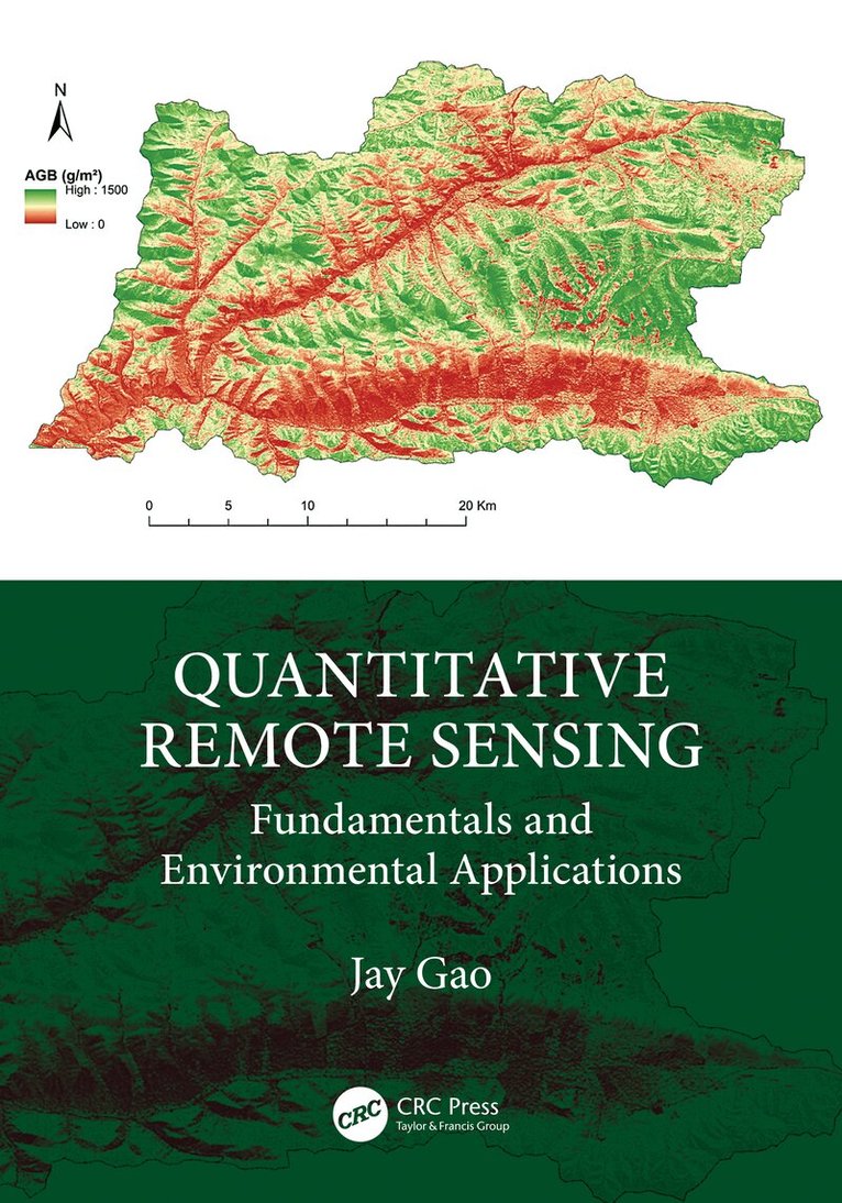
This book provides comprehensive and in-depth explanations of all topics related to quantitative remote sensing and its applications in terrestrial, biospheric, hydrospheric, and atmospheric studies. It elucidates how to retrieve quantitative information on a wide range of environmental parameters from various remote sensing data at the highest accuracy possible and expounds how different aspects of the target of remote sensing can be quantified using diverse analytical methods and level of accuracy. Written in an easy-to-follow language, logically organized, and with step-by-step examples, the book assists readers to deepen their understanding of the theory and cutting-edge research on quantitative remote sensing.
Features
Explains how to retrieve quantitative information on a wide range of environmental parameters from various tailored remote sensing data at the highest accuracy possible. Manifests the author''s decades of teaching and research in quantitative remote sensing and approaches the subject from both theoretical and pragmatic perspectives, informed by the latest research outcomes. Includes practical and real-life examples to illustrate how the quantitative information on a target can be retrieved from a given type of remote sensing data. Focuses on the latest developments in the field of quantitative remote sensing. Introduces sufficient mathematical concepts to reveal how remotely sensed data are converted to quantitative information while providing quality assurance of the retrieved results.This is a suitable textbook for upper-level undergraduate or postgraduate students and serves as a handy and valuable reference for professionals working in monitoring the environment. By reading this book, readers gain a sound understanding of how to retrieve quantitative information on the environment from diverse remote sensing data using the most appropriate cutting-edge methods and software.

2 109 kr
Läs direkt efter köp
This book provides comprehensive and in-depth explanations of all topics related to quantitative remote sensing and its applications in terrestrial, biospheric, hydrospheric, and atmospheric studies. It elucidates how to retrieve quantitative information on a wide range of environmental parameters from various remote sensing data at the highest accuracy possible and expounds how different aspects of the target of remote sensing can be quantified using diverse analytical methods and level of accuracy. Written in an easy-to-follow language, logically organized, and with step-by-step examples, the book assists readers to deepen their understanding of the theory and cutting-edge research on quantitative remote sensing.
Features
Explains how to retrieve quantitative information on a wide range of environmental parameters from various tailored remote sensing data at the highest accuracy possible. Manifests the author''s decades of teaching and research in quantitative remote sensing and approaches the subject from both theoretical and pragmatic perspectives, informed by the latest research outcomes. Includes practical and real-life examples to illustrate how the quantitative information on a target can be retrieved from a given type of remote sensing data. Focuses on the latest developments in the field of quantitative remote sensing. Introduces sufficient mathematical concepts to reveal how remotely sensed data are converted to quantitative information while providing quality assurance of the retrieved results.This is a suitable textbook for upper-level undergraduate or postgraduate students and serves as a handy and valuable reference for professionals working in monitoring the environment. By reading this book, readers gain a sound understanding of how to retrieve quantitative information on the environment from diverse remote sensing data using the most appropriate cutting-edge methods and software.

245 kr
Kommande

107 kr
Skickas
146 kr
Skickas

158 kr
Kommande

1 092 kr
Skickas inom 10-15 vardagar
1 367 kr
Läs direkt efter köp
1 092 kr
Skickas inom 10-15 vardagar

70 kr
Tillfälligt slut