
Krishna Prasad Vadrevu – författare
5 478 kr
Skickas inom 10-15 vardagar
2 424 kr
Skickas inom 10-15 vardagar
2 424 kr
Skickas inom 10-15 vardagar
1 009 kr
Läs direkt efter köp
Volume 1 of a two volume set, this book is a self-contained, state-of-the-art analysis of remote sensing, ground-based, and spatial techniques used for characterizing biomass burning events and pollution. It is a collective achievement of renowned scientists working throughout South and Southeast Asia. They discuss the complexity of vegetation patterns, biomass characteristics, fire distribution, drivers of fires, and several examples of the use of novel satellite algorithms for mapping and monitoring biomass burning events. The book is highly interdisciplinary and integrates earth science and environmental science including ecology, fire science, spatial geography, remote sensing, and geospatial technologies.
Unique in its discussion of the sources and the causes of biomass burning and atmospheric research in South and Southeast Asia.
Explains how remote sensing and geospatial technologies help the mapping and monitoring of biomass burning events and their impacts.
Focuses on large spatial scales integrating top-down and bottom-up methodologies.
Addresses the pressing issues of environmental pollution that are rampant in South and Southeast Asia.
Includes contributions from global experts actually working on biomass burning projects in the US, Japan, South/Southeast Asia, and Europe.
This book will serve as a valuable source of information for remote sensing scientists, geographers, ecologists, atmospheric scientists, environmental scientists, and all who wish to advance their knowledge on fires and biomass burning in South/Southeast Asia.

1 009 kr
Läs direkt efter köp
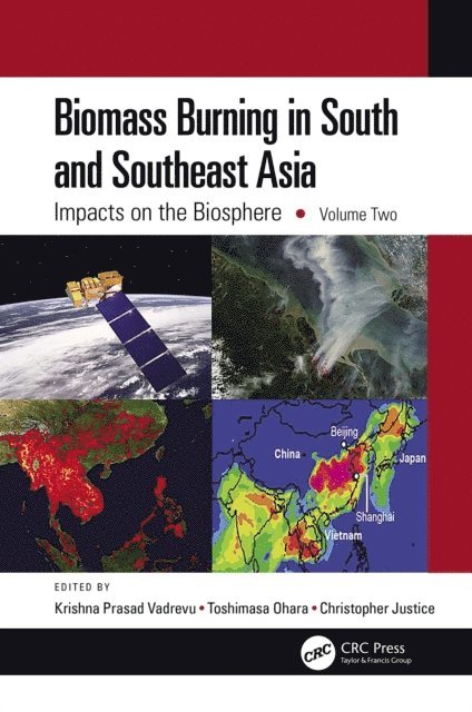
Biomass burning is one of the most important sources of greenhouse gas emissions and aerosols in South and Southeast Asia and greatly impacts other countries through transboundary air pollution. With contributions from leading scientists, this volume offers an interdisciplinary perspective on the impacts of biomass burning on the land resources, climate, and the atmosphere. It showcases several examples linking top-down remote sensing, bottom-up ground-based measurements, and an integrated modeling to address the impacts of biomass burning and land–atmosphere interactions. It is a valuable guide for readers in atmospheric science, ecology, spatial geography, remote sensing, and GIS.
This book is unique as it highlights the sources and the causes of biomass burning and atmospheric research in South and Southeast Asia.
It explains the latest tools and techniques, in particular the use of satellite remote sensing and geospatial technologies for fire mapping, monitoring, and land cover/land use change.
It focuses on large spatial scales integrating top-down and bottom-up methodologies.
It addresses the pressing issues of air pollution rampant in South and Southeast Asia.
It includes contributions from global experts working on biomass burning projects in the USA, Japan, South/Southeast Asia, and Europe.
The contents of this book will appeal to students and professionals using remote sensing and geospatial techniques, including geographers, ecologists, atmospheric and environmental scientists, and all who are interested in biomass burning pollution.

1 009 kr
Läs direkt efter köp
Volume 1 of a two volume set, this book is a self-contained, state-of-the-art analysis of remote sensing, ground-based, and spatial techniques used for characterizing biomass burning events and pollution. It is a collective achievement of renowned scientists working throughout South and Southeast Asia. They discuss the complexity of vegetation patterns, biomass characteristics, fire distribution, drivers of fires, and several examples of the use of novel satellite algorithms for mapping and monitoring biomass burning events. The book is highly interdisciplinary and integrates earth science and environmental science including ecology, fire science, spatial geography, remote sensing, and geospatial technologies.
Unique in its discussion of the sources and the causes of biomass burning and atmospheric research in South and Southeast Asia.
Explains how remote sensing and geospatial technologies help the mapping and monitoring of biomass burning events and their impacts.
Focuses on large spatial scales integrating top-down and bottom-up methodologies.
Addresses the pressing issues of environmental pollution that are rampant in South and Southeast Asia.
Includes contributions from global experts actually working on biomass burning projects in the US, Japan, South/Southeast Asia, and Europe.
This book will serve as a valuable source of information for remote sensing scientists, geographers, ecologists, atmospheric scientists, environmental scientists, and all who wish to advance their knowledge on fires and biomass burning in South/Southeast Asia.
1 009 kr
Läs direkt efter köp
Biomass burning is one of the most important sources of greenhouse gas emissions and aerosols in South and Southeast Asia and greatly impacts other countries through transboundary air pollution. With contributions from leading scientists, this volume offers an interdisciplinary perspective on the impacts of biomass burning on the land resources, climate, and the atmosphere. It showcases several examples linking top-down remote sensing, bottom-up ground-based measurements, and an integrated modeling to address the impacts of biomass burning and land–atmosphere interactions. It is a valuable guide for readers in atmospheric science, ecology, spatial geography, remote sensing, and GIS.
This book is unique as it highlights the sources and the causes of biomass burning and atmospheric research in South and Southeast Asia.
It explains the latest tools and techniques, in particular the use of satellite remote sensing and geospatial technologies for fire mapping, monitoring, and land cover/land use change.
It focuses on large spatial scales integrating top-down and bottom-up methodologies.
It addresses the pressing issues of air pollution rampant in South and Southeast Asia.
It includes contributions from global experts working on biomass burning projects in the USA, Japan, South/Southeast Asia, and Europe.
The contents of this book will appeal to students and professionals using remote sensing and geospatial techniques, including geographers, ecologists, atmospheric and environmental scientists, and all who are interested in biomass burning pollution.

1 496 kr
Läs direkt efter köp
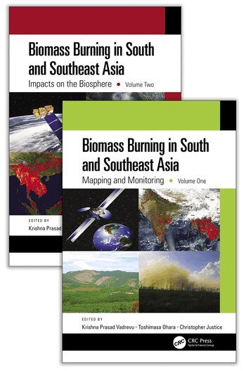
The increasing intensity and frequency of natural disasters all around the world has caused severe socioeconomic impacts, especially in South and Southeast Asia. This region is particularly susceptible to vegetation fires, leading to biomass burning pollution with impacts on other countries through trans-boundary air pollution. Despite the growing body of information on biomass pollutants worldwide, only a modest amount of data from these regions are available. With fires and biomass burning identified as a vital issue in South/Southeast Asia, this two-volume set was created to meet community research and application needs. To better serve the atmospheric, environmental, and remote sensing communities, and to address air quality, climate, and the human health impacts of greenhouse gases and aerosols from biomass burning, this set brings together the collective achievements of experts in these regions and the state-of-the-art technologies and spatial analyses to model and monitor biomass burning events and their impacts.
This first volume covers various topics on fire, biomass burning, mapping and monitoring while the second volume highlights the impact of biomass burning on the biosphere and reflects extensive research by interdisciplinary teams of experts. This set will serve as a valuable resource for remote sensing scientist, geographers, ecologists, atmospheric scientists, environmental scientists, and all who wish to advance their knowledge on fires, biomass burning, and biomass burning pollution in South/Southeast Asia
Specific Features:
Unique in its discussion of the sources and the causes of biomass burning and atmospheric research in South and Southeast Asia.
Explains how remote sensing and geospatial technologies help the mapping and monitoring of biomass burning events and their impacts.
Focuses on large spatial scales integrating top-down and bottom-up methodologies.
Addresses the pressing issues of environmental pollution that are rampant in South and Southeast Asia.
Includes contributions from global experts currently working on biomass burning projects in the US, Japan, South/Southeast Asia, and Europe.

850 kr
Skickas inom 10-15 vardagar

850 kr
Skickas inom 10-15 vardagar

2 649 kr
Skickas inom 10-15 vardagar
2 649 kr
Skickas inom 10-15 vardagar

2 942 kr
Läs direkt efter köp
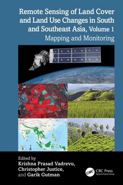
South and Southeast Asian countries are experiencing rapid land cover and land use changes (LCLUC) due to urbanization, agricultural expansion, deforestation, and infrastructure development. These changes have far-reaching consequences for biodiversity, water resources, food security, and climate regulation, underscoring the urgent need for effective monitoring and management strategies. Remote sensing data is essential for mapping and monitoring these changes. A variety of remote sensing data, ranging from coarse to very high resolution, can be used to assess land use patterns, and quantify changes.
Volume 1 showcases the practical utility of remote sensing data in various LCLUC studies. The book features contributions from the NASA-funded South/Southeast Asia Research Initiative and collaborators from multiple countries in South and Southeast Asia.
Key Features:
Explores the latest methodologies, from deep learning to novel data integrations, for mapping LCLUC. Demonstrates case studies to monitor and map land cover changes using very-high, medium, and coarse-resolution satellite data. Highlights the role of remote sensing in integrating biophysical and socioeconomic data. Provides case studies on urban expansion, deforestation, and agricultural intensification. Demonstrates advanced remote sensing methods for tracking land use changes. Offers insights into sustainable land management using remote sensing and geospatial technologies.This book serves as a cornerstone for advancing research and collaboration in the field of remote sensing and land use studies, particularly in South and Southeast Asia. It will be an invaluable resource for mapping and monitoring professionals, including remote sensing experts, geographers, environmental scientists, ecologists, and all others involved in land use/cover change research.

2 942 kr
Läs direkt efter köp
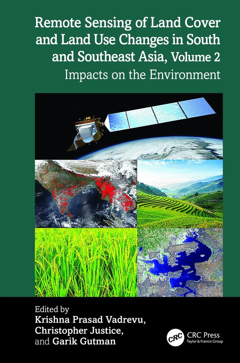
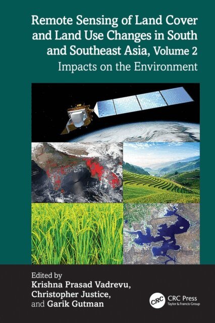
South and Southeast Asian countries are experiencing rapid land cover and land use changes (LCLUC) driven by urbanization, agricultural expansion, deforestation, and infrastructure development. These transformations have significant impacts on biodiversity, water resources, food security, and climate regulation. There is an urgent need to quantify LCLUC impacts to design effective management strategies that help understand, mitigate, and adapt to these changes. Remote sensing data plays a crucial role in providing diverse information essential for assessing land use patterns, quantifying changes, and evaluating both environmental and societal impacts.
Volume 2 explores the complex and dynamic interactions between land use and the environment in the region. It brings together expertise from U.S. contributors of the NASA-funded Southeast Asia Research Initiative (SARI) and collaborators from South and Southeast Asian countries.
Key Features:
Presents case studies on LCLUC impacts related to food security, heat stress, urbanization, agricultural intensification, water scarcity, forest transitions, and ecosystem health. Demonstrates the use of novel machine learning and deep learning algorithms for quantifying LCLUC impacts. Explores how satellite remote sensing can reveal hidden patterns, track environmental degradation, and support resource management. Highlights the integration of very high-resolution data with mid-resolution satellite data for effective LCLUC impact mapping and monitoring. Adopts a multidisciplinary approach, emphasizing the integration of biophysical and socio-economic data to address LCLUC impacts.This book highlights the transformative power of remote sensing and geospatial technologies while calling researchers, policymakers, and practitioners to action. It offers valuable insights for scientists, geographers, ecologists, remote sensing specialists, and anyone interested in the intersection of land use, development, and environmental sustainability.
2 942 kr
Läs direkt efter köp
South and Southeast Asian countries are experiencing rapid land cover and land use changes (LCLUC) due to urbanization, agricultural expansion, deforestation, and infrastructure development. These changes have far-reaching consequences for biodiversity, water resources, food security, and climate regulation, underscoring the urgent need for effective monitoring and management strategies. Remote sensing data is essential for mapping and monitoring these changes. A variety of remote sensing data, ranging from coarse to very high resolution, can be used to assess land use patterns, and quantify changes.
Volume 1 showcases the practical utility of remote sensing data in various LCLUC studies. The book features contributions from the NASA-funded South/Southeast Asia Research Initiative and collaborators from multiple countries in South and Southeast Asia.
Key Features:
Explores the latest methodologies, from deep learning to novel data integrations, for mapping LCLUC. Demonstrates case studies to monitor and map land cover changes using very-high, medium, and coarse-resolution satellite data. Highlights the role of remote sensing in integrating biophysical and socioeconomic data. Provides case studies on urban expansion, deforestation, and agricultural intensification. Demonstrates advanced remote sensing methods for tracking land use changes. Offers insights into sustainable land management using remote sensing and geospatial technologies.This book serves as a cornerstone for advancing research and collaboration in the field of remote sensing and land use studies, particularly in South and Southeast Asia. It will be an invaluable resource for mapping and monitoring professionals, including remote sensing experts, geographers, environmental scientists, ecologists, and all others involved in land use/cover change research.
2 839 kr
Läs direkt efter köp
South and Southeast Asian countries are experiencing rapid land cover and land use changes (LCLUC) driven by urbanization, agricultural expansion, deforestation, and infrastructure development. These transformations have significant impacts on biodiversity, water resources, food security, and climate regulation. There is an urgent need to quantify LCLUC impacts to design effective management strategies that help understand, mitigate, and adapt to these changes. Remote sensing data plays a crucial role in providing diverse information essential for assessing land use patterns, quantifying changes, and evaluating both environmental and societal impacts.
Volume 2 explores the complex and dynamic interactions between land use and the environment in the region. It brings together expertise from U.S. contributors of the NASA-funded Southeast Asia Research Initiative (SARI) and collaborators from South and Southeast Asian countries.
Key Features:
Presents case studies on LCLUC impacts related to food security, heat stress, urbanization, agricultural intensification, water scarcity, forest transitions, and ecosystem health. Demonstrates the use of novel machine learning and deep learning algorithms for quantifying LCLUC impacts. Explores how satellite remote sensing can reveal hidden patterns, track environmental degradation, and support resource management. Highlights the integration of very high-resolution data with mid-resolution satellite data for effective LCLUC impact mapping and monitoring. Adopts a multidisciplinary approach, emphasizing the integration of biophysical and socio-economic data to address LCLUC impacts.This book highlights the transformative power of remote sensing and geospatial technologies while calling researchers, policymakers, and practitioners to action. It offers valuable insights for scientists, geographers, ecologists, remote sensing specialists, and anyone interested in the intersection of land use, development, and environmental sustainability.
2 160 kr
Skickas inom 10-15 vardagar
Remote Sensing of Agriculture and Land Cover/Land Use Changes in South and Southeast Asian Countries
2 375 kr
Skickas inom 10-15 vardagar
Remote Sensing of Agriculture and Land Cover/Land Use Changes in South and Southeast Asian Countries
3 054 kr
Läs direkt efter köp
This book sheds new light on the remote sensing of agriculture in South/Southeast Asian (S/SEA) countries. S/SEA countries are growing rapidly in terms of population, industrialization, and urbanization. One of the critical challenges in the region is food security. In S/SEA, although total food production and productivity have increased in previous decades, in recent years, the growth rate of food production has slowed down, mostly due to land use change, market forces and policy interventions. Further, the weather and climate systems in the region driven primarily by monsoon variability are resulting in droughts or flooding, impacting agricultural production. Therefore, monitoring crops, including agricultural land cover changes at regular intervals, is essential to predict and prepare for disruptions in the food supply in the S/SEA countries.
The current book captures the latest research on the remote sensing of agricultural land cover/ land use changes, including mapping and monitoring crops, crop yields, biophysical parameter retrievals, multi-source data fusion for agricultural applications, and chapters on decision making and early warning systems for food security. The authors of this book are international experts in the field, and their contributions highlight the use of remote sensing and geospatial technologies for agricultural research and applications in South/Southeast Asia.
Remote Sensing of Agriculture and Land Cover/Land Use Changes in South and Southeast Asian Countries
2 375 kr
Skickas inom 10-15 vardagar
1 622 kr
Skickas inom 10-15 vardagar
2 057 kr
Läs direkt efter köp
Vegetation fires are prevalent in several regions of the world, including South/ Southeast Asia (S/SEA). Fire occurrence and spread are influenced by fuel type, topography, climate, weather, and lightning, among others. In S/SEA, human-initiated fires are responsible for most of the incidents in addition to natural factors. Through biomass burning, vegetation fires can emit large quantities of greenhouse gases and air pollutants such as CO2, CO, NOx, CH4, non-methane hydrocarbons, and other chemical species, including aerosols that can affect air quality and health at both local and regional scales. Moreover, biomass burning pollutants can travel long distances and impact regional climate. Therefore, quantifying vegetation fires and their impacts is critical at different spatial scales.
This book includes contributions from renowned researchers from the USA and South/ Southeast Asia on various fire-related topics. The contributions resultedfrom several international meetings and workshops organized in Asia as part of the South/ Southeast Asia Research Initiative (SARI) under the NASA Land-Cover/Land-Use Change Program. The book is divided into three sections, each containing multiple contributions: a) Mapping, Monitoring, and Modeling of Vegetation Fires, b) Greenhouse Gas Emissions and Air Pollution, and c) Air Pollution Modeling and Decision Support Systems. These sections are preceded by an introductory chapter by the editors that highlights the latest satellite-derived fire statistics and the current fire situation in S/SEA. This book will be a valuable resource for remote sensing scientists, geographers, ecologists, atmospheric, climate, environmental scientists, including policymakers, and all who wish to advance their knowledge on vegetation fires and emissions in South/Southeast Asia.
648 kr
Skickas inom 5-8 vardagar
1 622 kr
Skickas inom 10-15 vardagar
2 160 kr
Skickas inom 10-15 vardagar
2 840 kr
Läs direkt efter köp
This edited volume sheds new light on the impact of rapid Land Use/Cover Changes (LU/CC) on greenhouse gases (GHG’s) and aerosol emissions in South and Southeast Asia. Several countries in South/Southeast Asia have the highest population growth rates in the world, which is the main cause for LU/CC. Conversion of dense forests to agricultural areas and then to residential and urban areas is most commonly observed in South/Southeast Asian countries with a significant release of GHG’s and aerosols.
The book showcases several case studies on the use of remote sensing and geospatial technologies to quantify biomass burning and air pollution impacts, aerosol pollution, LU/CC, and impacts on ecosystem services. The book also includes articles on regional initiatives in research, capacity building, and training. The authors of this book are international experts in the field, and their contributions highlight significant drivers and impacts of air pollution in South/Southeast Asia. Readers will discover the latest tools and techniques, in particular, the use of satellite remote sensing and geospatial technologies for quantifying GHG’s, aerosols and pollution episodes in this region.
4 556 kr
Tillfälligt slut