
Martin Trauth – författare
633 kr
Läs direkt efter köp
MATLAB is used in a wide range of applications in geosciences, such as image processing in remote sensing, generation and processing of digital elevation models and the analysis of time series. This book introduces basic methods of data analysis in geosciences using MATLAB. The text includes a brief description of each method and numerous examples demonstrating how MATLAB can be used on data sets from earth sciences. All MATLAB recipes can be easily modified in order to analyse the reader''s own data sets.
712 kr
Läs direkt efter köp
MATLAB® is used in a wide range of applications in geosciences, such as image processing in remote sensing, generation and processing of digital elevation models and the analysis of time series. This book introduces methods of data analysis in geosciences using MATLAB such as basic statistics for univariate, bivariate and multivariate datasets, jackknife and bootstrap resampling schemes, processing of digital elevation models, gridding and contouring, geostatistics and kriging, processing and georeferencing of satellite images, digitizing from the screen, linear and nonlinear time-series analysis and the application of linear time-invariant and adaptive filters. The revised and updated Second Edition includes new subchapters on windowed Blackman-Tukey, Lomb-Scargle and Wavelet powerspectral analysis, statistical analysis of point distributions and digital elevation models, and a full new chapter on the statistical analysis of directional data. The text includes a brief description of each method and numerous examples demonstrating how MATLAB can be used on data sets from earth sciences. All MATLAB recipes can be easily modified in order to analyse the reader''s own data sets.
855 kr
Läs direkt efter köp
727 kr
Skickas inom 5-8 vardagar
712 kr
Läs direkt efter köp
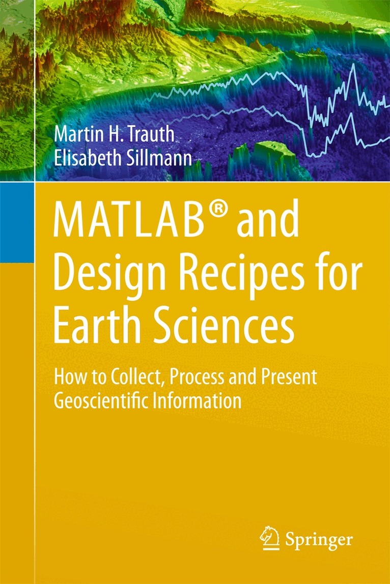
The overall aim of the book is to introduce students to the typical course followed by a data analysis project in earth sciences. A project usually involves searching relevant literature, reviewing and ranking published books and journal articles, extracting relevant information from the literature in the form of text, data, or graphs, searching and processing the relevant original data using MATLAB, and compiling and presenting the results as posters, abstracts, and oral presentations using graphics design software. The text of this book includes numerous examples on the use of internet resources, on the visualization of data with MATLAB, and on preparing scientific presentations. As with its sister book MATLAB Recipes for Earth Sciences–3rd Edition (2010), which demonstrates the use of statistical and numerical methods on earth science data, this book uses state-of-the art software packages, including MATLAB and the Adobe Creative Suite, to process and present geoscientific information collected during the course of an earth science project. The book''s supplementary electronic material (available online through the publisher''s website) includes color versions of all figures, recipes with all the MATLAB commands featured in the book, the example data, exported MATLAB graphics, and screenshots of the most important steps involved in processing the graphics.
658 kr
Skickas inom 5-8 vardagar