
Nicholas Giner – författare
Visar alla böcker från författaren . Handla med fri frakt och snabb leverans.
4 produkter
4 produkter
Häftad, Engelska, 2025
426 kr
Skickas inom 5-8 vardagar
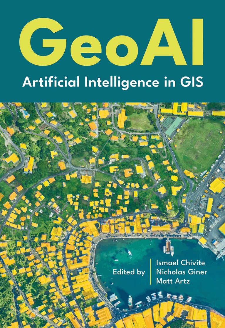
“GeoAI—the integration of spatial analysis, AI, and big data—is creating new insights that promise to transform our understanding of the world.” Jack Dangermond, president of Esri Discover how organizations are powering greater automation, prediction, and optimization with GeoAI. Organizations across the globe have long relied on geographic information system (GIS) technology to manage and analyze data through the powerful lens of location, helping them tackle some of the toughest business and societal challenges. The emergence of AI-enhanced GIS has opened new opportunities to these groups to automate complex spatial analyses and harness the full breadth of spatial analysis. This democratization of GIS can help everyone make better decisions faster, from city planners and policymakers to businesses, research groups, and constituents. GeoAI: Artificial Intelligence in GIS explores a collection of real-life stories about public- and private-sector organizations as well as NGOs and nonprofits successfully using GeoAI and ArcGIS® to manage processes, workflows, policies, and communication. The book also includes a technology overview that provides ideas, strategies, tools, and actions to help jump-start your own use of GeoAI.
Inbunden, Engelska, 2025
695 kr
Skickas inom 5-8 vardagar
“GeoAI—the integration of spatial analysis, AI, and big data—is creating new insights that promise to transform our understanding of the world.” Jack Dangermond, president of Esri Discover how organizations are powering greater automation, prediction, and optimization with GeoAI. Organizations across the globe have long relied on geographic information system (GIS) technology to manage and analyze data through the powerful lens of location, helping them tackle some of the toughest business and societal challenges. The emergence of AI-enhanced GIS has opened new opportunities to these groups to automate complex spatial analyses and harness the full breadth of spatial analysis. This democratization of GIS can help everyone make better decisions faster, from city planners and policymakers to businesses, research groups, and constituents. GeoAI: Artificial Intelligence in GIS explores a collection of real-life stories about public- and private-sector organizations as well as NGOs and nonprofits successfully using GeoAI and ArcGIS® to manage processes, workflows, policies, and communication. The book also includes a technology overview that provides ideas, strategies, tools, and actions to help jump-start your own use of GeoAI.
- Nyhet
Häftad, Engelska, 2026
499 kr
Skickas inom 3-6 vardagar
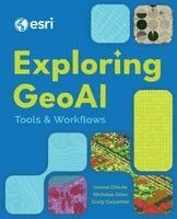
Transform your spatial analysis capabilities with the power of GeoAI. Learn the latest geospatial AI models and tools with Exploring GeoAI: Tools and Workflows. Use comprehensive, hands-on tutorials for implementing cutting-edge deep learning models and workflows—perfect for anyone ready to apply the transformative potential of GeoAI in their organizational operations. Start by learning how to install deep learning frameworks, confirm hardware capabilities, and optimize system settings for peak performance. Then, progress through the complete GeoAI workflow: determining project needs, reviewing available data types and formats, assessing and training models, and evaluating performance with confidence. Work through chapters that reinforce learning through carefully crafted tutorials featuring real-world datasets and step-by-step guidance. This approach enables you to quickly build the expertise to address complex spatial challenges. The tutorials demonstrate workflows for a variety of ready-to-use, pretrained deep learning models in ArcGIS Pro and ArcGIS Online, showcasing an evolving platform with powerful geospatial tools.Key topics include:Installing and configuring deep learning frameworksTroubleshooting common technical challengesSelecting and evaluating modelsDetecting and classifying objectsTransfer learning Classifying lidar point cloudsUsing predictive spatial analysis This essential guide will empower readers with the practical skills to implement GeoAI and efficiently automate, predict, and optimize their geospatial work.
- Nyhet

Inbunden, Engelska, 2026
761 kr
Skickas inom 3-6 vardagar
Transform your spatial analysis capabilities with the power of GeoAI. Learn the latest geospatial AI models and tools with Exploring GeoAI: Tools and Workflows. Use comprehensive, hands-on tutorials for implementing cutting-edge deep learning models and workflows—perfect for anyone ready to apply the transformative potential of GeoAI in their organizational operations. Start by learning how to install deep learning frameworks, confirm hardware capabilities, and optimize system settings for peak performance. Then, progress through the complete GeoAI workflow: determining project needs, reviewing available data types and formats, assessing and training models, and evaluating performance with confidence. Work through chapters that reinforce learning through carefully crafted tutorials featuring real-world datasets and step-by-step guidance. This approach enables you to quickly build the expertise to address complex spatial challenges. The tutorials demonstrate workflows for a variety of ready-to-use, pretrained deep learning models in ArcGIS Pro and ArcGIS Online, showcasing an evolving platform with powerful geospatial tools.Key topics include:Installing and configuring deep learning frameworksTroubleshooting common technical challengesSelecting and evaluating modelsDetecting and classifying objectsTransfer learning Classifying lidar point cloudsUsing predictive spatial analysis This essential guide will empower readers with the practical skills to implement GeoAI and efficiently automate, predict, and optimize their geospatial work.