
Pamela S Showalter – författare
Visar alla böcker från författaren . Handla med fri frakt och snabb leverans.
5 produkter
5 produkter
Häftad, Engelska, 2020
160 kr
Skickas inom 5-8 vardagar
E-bok
Engelska, 202033 kr
Läs direkt efter köp
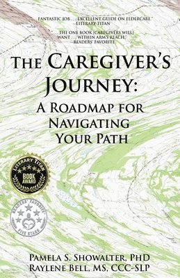
The Caregiver's Journey: A Roadmap for Navigating Your PathWritten for long-distance caregivers, The Caregiver's Journey summarizes five years of the authors' experiences caring for a Mom living hundreds of miles away. Despite the authors having a combined five university degrees (one in a medical field!), following their first year as caregivers, they were startled by the simple mistakes they were making, so began journaling to help others avoid making similar mistakes. Written for any family member navigating a loved one's dementia or Alzheimer's, this book is not clinical but personal, compiled from notes made shortly after events occurred with future readers in mind. The narrative is presented chronologically to provide our fellow caregivers with "e;landmarks"e; they may encounter on their journey and to warn them of obstacles that may lie ahead. At 192 pages long, tips and recommendations are found throughout, and 11 Tables and six Appendices have been included to expand upon critical topics.* Chapter "e;Takeaways"e; Reinforce Tips From The Narrative* Detailed Information About Costs of Care* Coping Tools For Caregiver Fatigue, Stress, And Burnout* Tips For Patient Advocacy During Hospitalizations* Six Appendices Provide Quick Reference Guidance
Inbunden, Engelska, 2009
1 620 kr
Skickas inom 10-15 vardagar
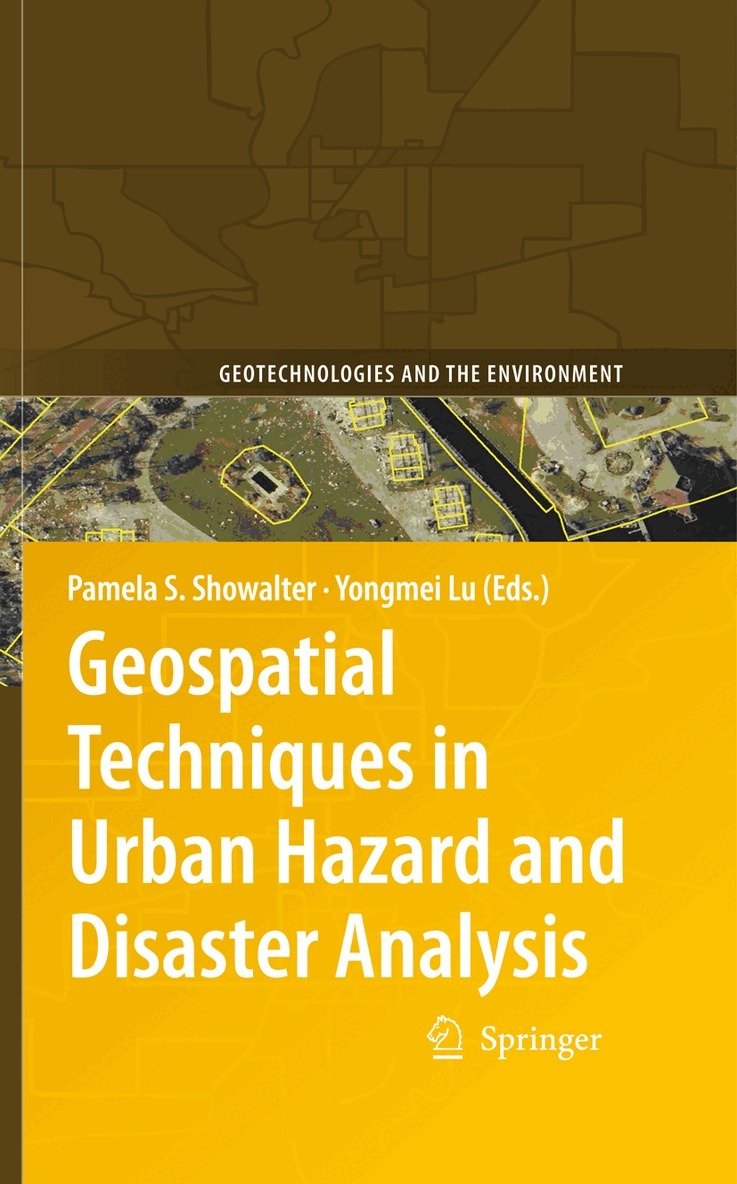
This book is the second in a series that examines how geographic information te- nologies (GIT) are being implemented to improve our understanding of a variety of hazard and disaster situations. The main types of technologies covered under the umbrella of GIT, as used in this volume, are geographic information systems, remote sensing (not including ground-penetrating or underwater systems), and global po- tioning systems. Our focus is on urban areas, broadly de ned in order to encompass rapidly growing and densely populated areas that may not be considered “urban” in the conventional sense. The material presented here is also unabashedly applied – our goal is to provide GIT tools to those seeking more ef cient ways to respond to, recover from, mitigate, prevent, and/or model hazard and disaster events in urban settings. Therefore, this book was created not only with our colleagues in the academic world in mind, but also for hazards professionals and practitioners. We also believe graduate students will nd the material presented here of interest, as may upper division undergraduate students.
E-bok
PDF, Engelska, 20091 977 kr
Läs direkt efter köp
This book is the second in a series that examines how geographic information te- nologies (GIT) are being implemented to improve our understanding of a variety of hazard and disaster situations. The main types of technologies covered under the umbrella of GIT, as used in this volume, are geographic information systems, remote sensing (not including ground-penetrating or underwater systems), and global po- tioning systems. Our focus is on urban areas, broadly de ned in order to encompass rapidly growing and densely populated areas that may not be considered “urban” in the conventional sense. The material presented here is also unabashedly applied – our goal is to provide GIT tools to those seeking more ef cient ways to respond to, recover from, mitigate, prevent, and/or model hazard and disaster events in urban settings. Therefore, this book was created not only with our colleagues in the academic world in mind, but also for hazards professionals and practitioners. We also believe graduate students will nd the material presented here of interest, as may upper division undergraduate students.

Häftad, Engelska, 2012
1 620 kr
Skickas inom 10-15 vardagar
This book is the second in a series that examines how geographic information te- nologies (GIT) are being implemented to improve our understanding of a variety of hazard and disaster situations. The main types of technologies covered under the umbrella of GIT, as used in this volume, are geographic information systems, remote sensing (not including ground-penetrating or underwater systems), and global po- tioning systems. Our focus is on urban areas, broadly de ned in order to encompass rapidly growing and densely populated areas that may not be considered “urban” in the conventional sense. The material presented here is also unabashedly applied – our goal is to provide GIT tools to those seeking more ef cient ways to respond to, recover from, mitigate, prevent, and/or model hazard and disaster events in urban settings. Therefore, this book was created not only with our colleagues in the academic world in mind, but also for hazards professionals and practitioners. We also believe graduate students will nd the material presented here of interest, as may upper division undergraduate students.