
Reiner Rummel – författare
1 083 kr
Skickas inom 10-15 vardagar
1 416 kr
Läs direkt efter köp
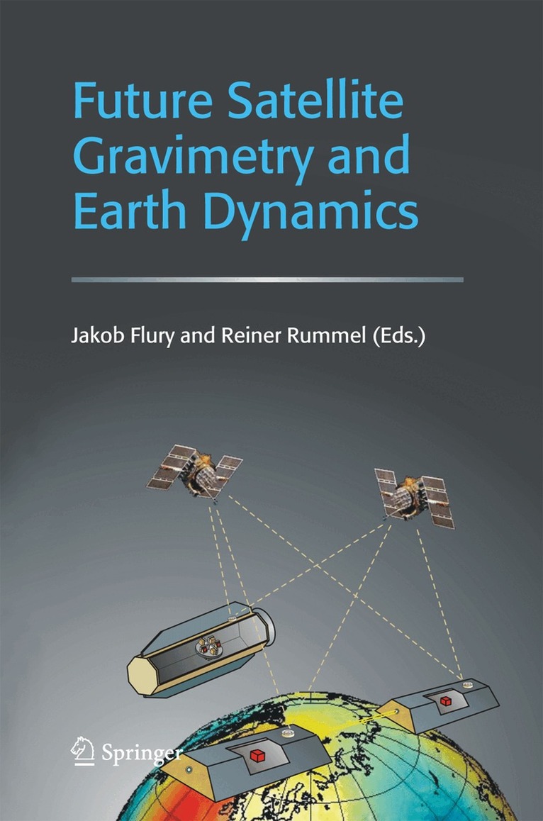
Currently, a first generation of dedicated satellite missions for the precise mapping of the Earth’s gravity field is in orbit (CHAMP, GRACE, and soon GOCE). The gravity data from these satellite missions provide us with very new information on the dynamics of planet Earth. In particular, on the mass distribution in the Earth’s interior, the entire water cycle (ocean circulation, ice mass balance, continental water masses, and atmosphere), and on changes in the mass distribution.
The results are fascinating, but still rough with respect to spatial and temporal resolution. Technical progress in satellite-to-satellite tracking and in gravity gradiometry will allow more detailed results in the future. In this special issue, Earth scientists develop visions of future applications based on follow-on high-precision satellite gravimetry missions.
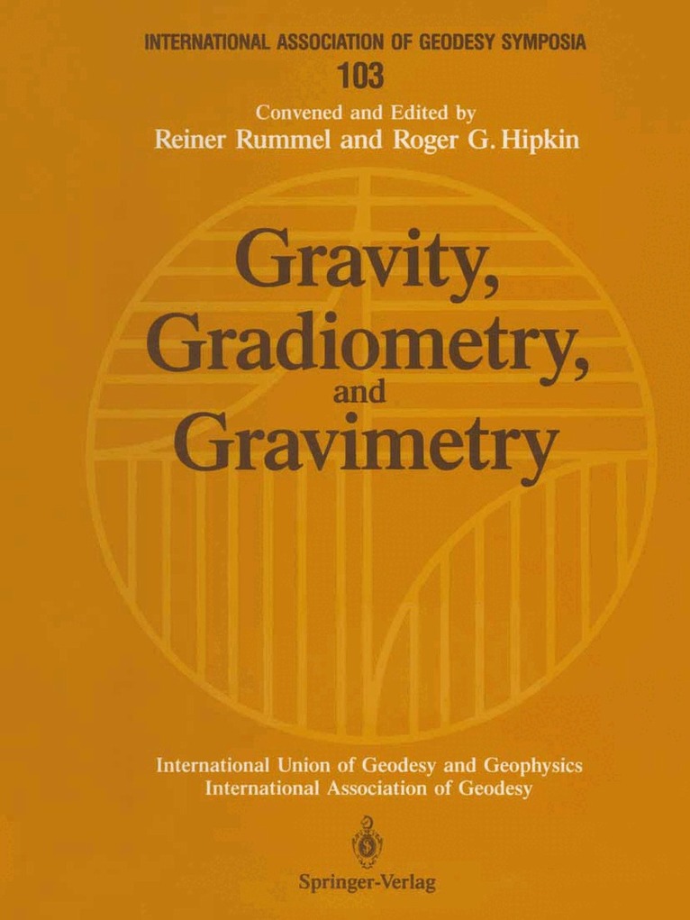
Gravity, Gradiometry, and Gravimetry
Symposium No. 103 Edinburgh, Scotland, August 8–10, 1989
1 083 kr
Skickas inom 10-15 vardagar

1 079 kr
Skickas inom 10-15 vardagar
1 416 kr
Läs direkt efter köp
Fortschritte der Satellitengeodäsie. Mikrobiologie im Zeitalter der Genomforschung
558 kr
Skickas inom 10-15 vardagar
2 151 kr
Skickas inom 10-15 vardagar
2 840 kr
Läs direkt efter köp
Theory of Satellite Geodesy and Gravity Field Determination
543 kr
Skickas inom 10-15 vardagar
Satellite Altimetry in Geodesy and Oceanography
543 kr
Skickas inom 10-15 vardagar
Geodetic Boundary Value Problems in View of the One Centimeter Geoid
543 kr
Skickas inom 10-15 vardagar

2 151 kr
Skickas inom 10-15 vardagar
1 209 kr
Skickas inom 10-15 vardagar
1 519 kr
Läs direkt efter köp

570 kr
Läs direkt efter köp