
Ronald Turnbull – författare
201 kr
Läs direkt efter köp

208 kr
Läs direkt efter köp
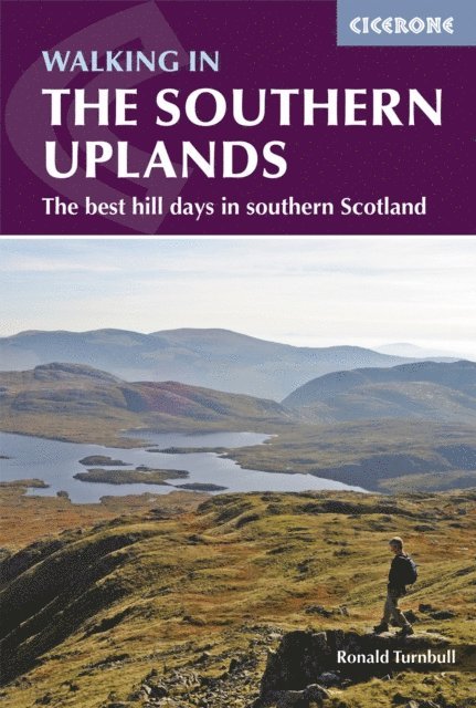
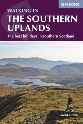
This guidebook describes 44 routes and over 100 summits across the Southern Uplands of Scotland, stretching south-west from Edinburgh to the English border, including the Galloway and Pentland Hills.The walks range between 2 and 18 miles, suitable for walkers of all abilities. Highlights include Merrick and the Galloway Hills, Hart Fell and the Devil''s Beeftub, Cheviot and the Border Ridge, Arthur''s Seat and the River Tweed. Each route provides OS 1:50,000 mapping, information on distance, ascent, time, maximum altitude and terrain, as well as details of any variants or shortcuts. With notes on points of interest along the way as well as on transport and accommodation, the guide gives all the information walkers need.The Southern Uplands is a range that is about as big as the Pennines. It is wild hill country, with over 80 hills of 2000ft or more, and it boasts a real remoteness that is difficult to find elsewhere. All hillwalkers should experience these wonderfully characterful landscapes: green and gentle, but with hidden surprises and remote escapes. The routes are suitable from spring to autumn, and on winter days with good weather and snow conditions.

208 kr
Läs direkt efter köp

208 kr
Läs direkt efter köp
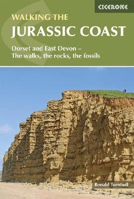
A guidebook to 30 walks on the Jurassic Coast of Devon and Dorset. Covering the coast between Exmouth and Bournemouth, the walks are suitable for most walkers, with shorter routes alongside plenty of more challenging, full-day hikes.
The walks range in length from 5 to 24km (3–16 miles) and can be enjoyed in 2–8 hours. The majority of the routes hug the shoreline between Torbay and Swanage, while others venture inland on the Dorset Downs.
1:50,000 OS maps are included for each walk GPX files available to download The geology of this World Heritage Coastline is brought to life with timelines and cross-sections Local points of interest include Lulworth Cove and Chesil Beach
227 kr
Läs direkt efter köp
235 kr
Läs direkt efter köp
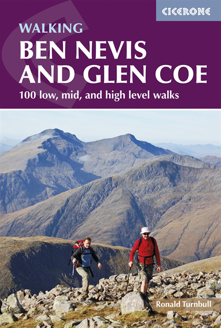
A guidebook to 100 walks in the Ben Nevis and Glen Coe region, near Fort William. Routes are graded according to difficulty, and range between short, easy strolls and long, challenging walks with overnight bothy stays.
The walks range in length from 2 to 34km (1–21 miles) and include low-level hikes, 5 routes up Ben Nevis, 3 must-do scrambling routes and 44 Munro summits.
Either 1:50,000 OS maps or 1:100,000 route maps included for each walk Easy access from Fort William and Kinlochleven Highlights include the Grey Corries, Aonach Eagach ridge scramble and Black Mount Information included on transport, accommodation and facilities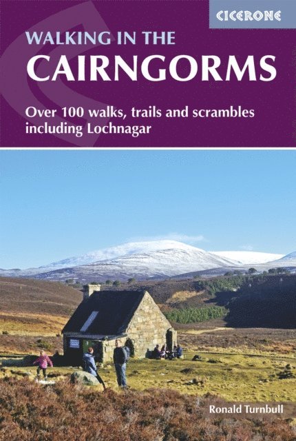
232 kr
Läs direkt efter köp
A guidebook to over 100 walking routes in the Cairngorms and Lochnagar. Sitting between Speyside and Deeside the Cairngorms National Park provides the backdrop for these low- and high-level walks and scrambles suitable for a range of abilities.
Walks range from 2 to 42km (1–26 miles) and have been graded by difficulty, allowing you to select routes suitable for your ability level.
1:50,000 OS maps or 1:100,000 route maps included for each walk Includes 18 Munro summits Multiple summit path options are included for five hills – Macdui, Cairn Gorm, Braeriach, Cairn Toul and Lochnagar Detailed information on facilities and mountain bothies Easy access from Aviemore and Braemar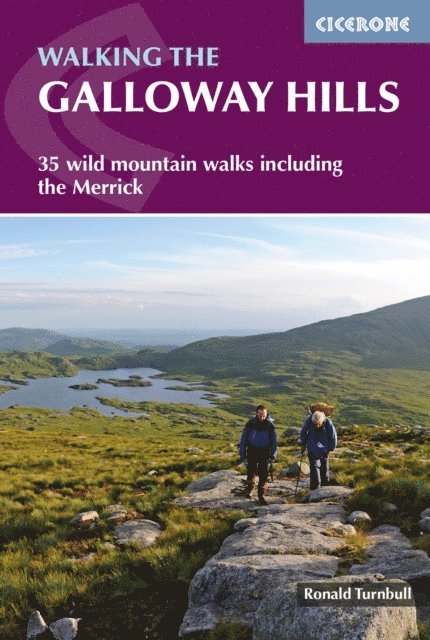
208 kr
Läs direkt efter köp
A guidebook to 34 day walks and one long-distance route in the wild and remote hills of Galloway. Although there are some shorter and easier routes, many of these hill walks are long and on rugged terrain, so are more suitable for experienced walkers.
The day walks range from 4-33km (2-20 miles) and can be enjoyed in 2-11 hours, with options to combine routes to form longer days. A 3-day trek covering 82km (53 miles) is also detailed.
1:50,000 OS maps included for each walk GPX files available to download Easy access from Newton Stewart, Glentrool village, Loch Trool, Dalmellington, Carsphairn and St John''s Town of Dalry Detailed information on planning, bothies and the history of the area Sized to easily fit in a jacket pocket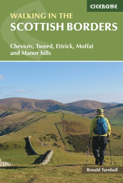
180 kr
Läs direkt efter köp
Guidebook presenting 45 day walks and one long distance route in the Scottish Borders. Split between the north and south Cheviots, Tweed, Ettrick, Moffat and Manor hills, the walks are a mixture of high and low-level routes and can be fully customised using multiple variants.
The day walks range from 3 to 14 miles (5-23km) in length and take between 1-17.5 hours. The long-distance route between Gretna and Berwick covers 121 miles (194km) and takes 7 days.
1:50,000 OS maps included for each walk Sized to easily fit in a jacket pocket Information on local points of interest GPX files available to download Information given on local geology and wildlife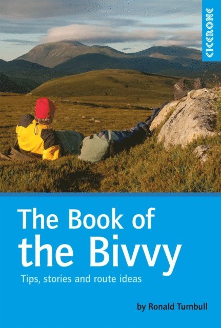
69 kr
Läs direkt efter köp
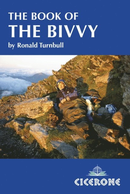
This book provides an informed, instructive, and wry insight into the world of the bivouac, drawing upon the author''s wealth of personal experience. It is a celebration of bivvying - back-to-basics camping with just a lightweight bag between you and the elements. Honest and entertaining, there is every chance it will inspire you to find a remote hilltop, roll out your bag, and watch the sunset.
Practical tips about different types of membranes, sites, techniques and minimalist kit A half-and-half mix of how to do it and why to do it (or how not to do it and why not to do it) Accounts of bivvybag nights and expeditions, both nice and nasty The rich and colourful history of the bivvy, including references from Classical Greece and the role of the bivvy in the first successful ascent of the Eigerwand Six routes for the aspiring bivouacker, in the Lake District, Scotland and the Spanish Sierra Nevada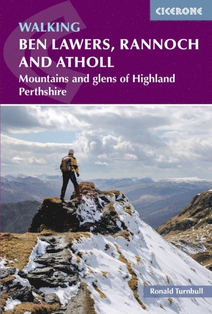
208 kr
Läs direkt efter köp
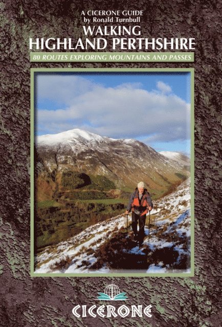
A guidebook to 80 walks in the highlands of Perthshire. Exploring the beautiful scenery of Scotland''s south-eastern Grampians, the walks are suitable for most walkers, with shorter routes alongside plenty of more challenging, full-day hikes. The routes include 42 Munro ascents, 22 Corbetts, 15 smaller hills and the Gaick and Minigaig passes.
The walks range from 3 to 45km (2–28 miles) and can be enjoyed in 1–13 hours. April to August is the best walking time for all routes, with April and May the best of all. Highlights include Ben Lawers, Rannoch Moor and Schiehallion, and the routes can easily be accessed from Perth and Crianlarich. Other centres include Comrie, Crieff, Aberfeldy, Killin, Dunkeld, Pitlochry and Blair Atholl.
Either 1:50,000 OS or 1:100,000 maps are included for each route Routes are graded by length and difficulty Notes on local transport, accommodation and facilities Comprehensive advice on access during the deer-stalking season Sized to easily fit in a jacket pocket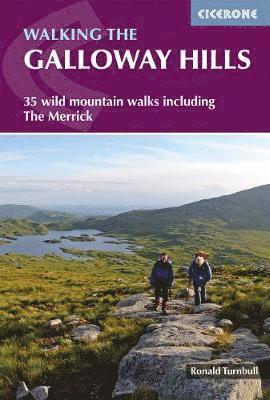
173 kr
Skickas
162 kr
Skickas

127 kr
Skickas
173 kr
Skickas
127 kr
Skickas
195 kr
Skickas
127 kr
Skickas
138 kr
Läs direkt efter köp
Would you like to explore the best of Dumfries and Galloway? This guidebook covers 15 of the best short walks in the area (between 5 and 12km), including Portpatrick, Cruggleton Castle, Loch Trool, Threave, Rockcliffe, Criffel, Dumfries and Annan.
Why choose this guidebook?
Walks under three hours, plus one challenge route Easy to follow with clear route descriptions Facilities, parking and highlights for every route No specialist gear needed, walk all year round Ordnance Survey mappingCicerone’s Short Walks guidebooks contain everything you need to get outdoors and discover the best of an area. The routes are perfect if you’re new to walking or looking for something you can enjoy with the whole family. Let the adventures begin!
235 kr
Läs direkt efter köp
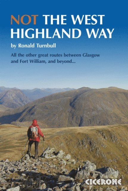
A guidebook to the best West Highland Way (WHW) diversions and extensions. For walkers with an affinity for hills, looking to leave the iconic trail in search of intrepid mountain alternatives and Munro-bagging detours.
Describes 14 different route options (mountain variants/side loops) between Milngavie and Fort William, ranging from 10-29km with ascent gain from 650-1600m Also describes two 2-day backpacking trips (suitable for beginners) and extended deviations Summarises three multi-day adventures beyond the WHW: Corrour to Dalwhinnie; Fort William to Inverie; Spean Bridge to Cluanie (or Cape Wrath) Invaluable information on access, mapping and mountain safety
138 kr
Läs direkt efter köp
Would you like to explore the best of the Scottish Borders? This guidebook covers 15 of the best short walks in the area (between 6 and 11.5km, all under three hours), including St Abbs Head, Eyemouth Shores, Wideopen Hill, Eildon Hills, Hawick, Peebles and Neidpath Castle.
Why choose this guidebook?
Easy to moderate walks suitable for almost everyone Short climbs but no challenging terrain Numbered points which tie OS maps to clear route description Facilities, parking and highlights for every route Route Summary Table to help you choose your walkCicerone’s Short Walks guidebooks contain everything you need to get outdoors and discover the best of an area. The routes are perfect if you’re new to walking or looking for something you can enjoy with the whole family. Let the adventures begin!

272 kr
Läs direkt efter köp
266 kr
Skickas
282 kr
Läs direkt efter köp
165 kr
Läs direkt efter köp
112 kr
Läs direkt efter köp
173 kr
Läs direkt efter köp
204 kr
Läs direkt efter köp
167 kr
Skickas
173 kr
Skickas