
Ronny Hansch – författare
Visar alla böcker från författaren . Handla med fri frakt och snabb leverans.
3 produkter
3 produkter
E-bok
Engelska, 20252 184 kr
Läs direkt efter köp
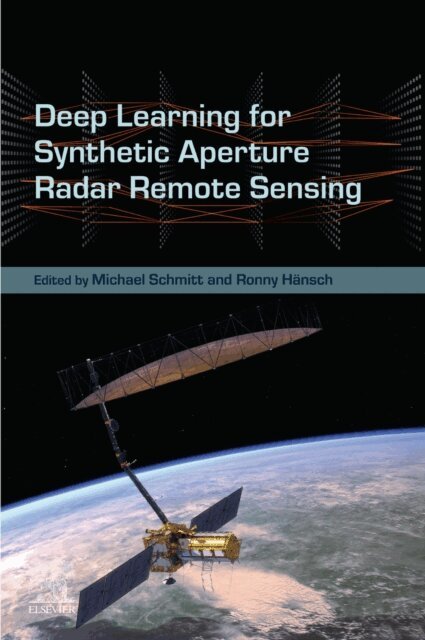
Deep Learning for Synthetic Aperture Radar Remote Sensing delves into the transformative synergy between synthetic aperture radar (SAR) and cutting-edge machine learning techniques. Traditionally rooted in signal processing, SAR's active imaging capabilities rise above optical limitations, offering resilience to environmental factors like cloud cover. This book showcases how machine learning augments every stage of SAR image processing, from raw data refinement to advanced information extraction. Through comprehensive coverage of acquisition modes and processing methodologies, including polarimetry and interferometry, this book equips readers with the tools to harness SAR's full potential. Aiming to further enhance remote sensing imaging, it serves as a vital resource for those seeking to integrate SAR data seamlessly into the modern machine learning landscape. Deep Learning for Synthetic Aperture Radar Remote Sensing addresses a critical gap in the intersection of SAR technology and machine learning, offering a pioneering roadmap for researchers and practitioners alike. With its emphasis on modern techniques, it serves as a catalyst for unlocking SAR's untapped potential and shaping the future of Earth observation. - Combines Synthetic Aperture Radar and Machine Learning/Deep Learning, addressing a highly innovative field- Covers the complete life-cycle of an SAR image from creation over enhancement to analysis instead of focusing on only one aspect- Provides a holistic view of the application of DL to SAR, addressing the unique properties and challenges of SAR

E-bok
Engelska, 20262 530 kr
Läs direkt efter köp
GeoAI for Earth Observation Imagery: Fundamentals and Practical Applications comprehensively covers methodologies of AI and Machine Learning applications of image processing for Earth Observation (EO) Imagery. As traditional image processing methods face challenges with handling vast volumes of EO imagery, leading to efficiencies and limitations when extracting meaningful insights, AI-driven approaches can enhance the efficiency, accuracy, and scalability of image processing. Chapters cover essential methodologies including atmospheric compensation, image enhancement techniques like deblurring and superresolution, and advanced analysis methods such as semantic segmentation and object detection.Cutting-edge approaches to computing, automating, and optimizing image processing tasks are also covered. Additionally, emerging trends in GeoAi and their implication on future research are reviewed. The book serves as an essential guide for navigating the complexities of spatial data and equips readers with knowledge to enhance their analytical capabilities. - Examines the essentials of image preprocessing, enhancement, analysis, and computing techniques tailored for EO imagery- Provides an introductory resource for implementing AI for EO image analysis- Demonstrates practical deployment of GeoML methodologies through case studies
Del 7 - Series in Computer Vision
Handbook Of Random Forests: Theory And Applications For Remote Sensing
Inbunden, Engelska, 2027
1 759 kr
Kommande
This compendium provides a hands-on description of Random Forests. It starts with a consistent introduction of general methods to create, train, and fuse ensembles of decision trees. Instead of limiting the discussion to the general-purpose layout of traditional Random Forests, this book outlines specifications during tree creation and training that are especially well suited to analyze structured data such as images. The theoretical foundations are explained as well as practical and implementation issues. The many possible variations of the Random Forest model are discussed together with their implications on the prediction results to provide insights into the influence of these parameters and their possible side-effects. Last but not least, this unique title provides specific examples of the usage of Random Forests for analysing remote sensing imagery.