
Sandra Bardwell – författare
Visar alla böcker från författaren . Handla med fri frakt och snabb leverans.
13 produkter
13 produkter
Häftad, Engelska, 2022
212 kr
Skickas
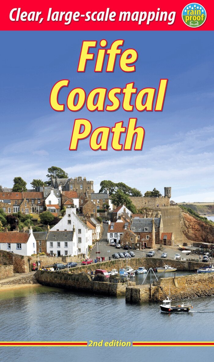
The Fife Coastal Path runs around the coastline of eastern Scotland for 117 miles (187 km) from Kincardine on the Forth to Newburgh on the Tay. Starting west of the famous Forth bridges, the route heads through former mining towns towards the villages of Fife's East Neuk (corner), with their rich tradition of smuggling and fishing. After rounding Fife Ness, the route follows the coastline through St Andrews, golf capital of the world and former religious centre of Scotland.Fife has long played an important part in Scottish history and the route passes many castles, towers and churches. There are splendid views along the coast and over the Firths of Forth and Tay, with great chances to sight seabirds, seals and dolphins. The villages have welcoming pubs, famous fish-and-chip shops and good B&Bs. Transport by train and bus makes for easy access throughout.The guidebook contains everything you need to plan and enjoy your holiday on foot, or on a bike where cycling is appropriate - details of each section showing distance, side-trips and food/drink stops; background on history, landscapes and wildlife; planning information for travel by bus, train, car and plane; lavishly illustrated, with 100 colour photographs; and detailed mapping of the entire route at 1:45,000.This second edition contains many route updates and is in an even lighter, more pocketable format. The book is rugged and printed on rainproof paper.
Häftad, Engelska, 2020
174 kr
Skickas
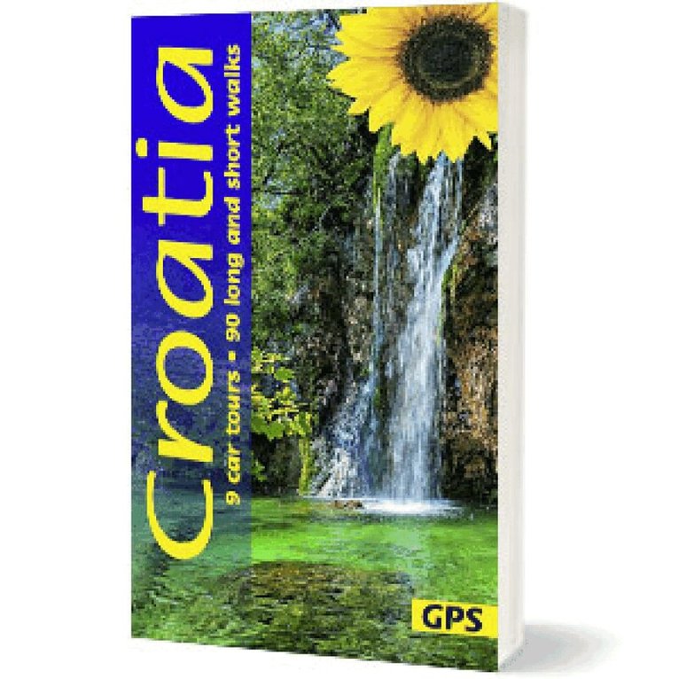
Explore Croatia the Easy Way – On Foot and by CarDiscover Croatia with the guide that’s been trusted by travellers for many years. The Sunflower Croatia guide is more than a walking book – it’s your complete regional companion for strolling, hiking and scenic driving, helping you explore one of Europe’s most diverse and captivating countries at your own pace.From the dramatic waterfalls of Plitvice Lakes and Krka National Parks to karst plateaus, forested uplands, sunlit islands and historic coastal towns, Croatia offers an extraordinary range of landscapes within a single country. This established guide helps visitors uncover tall forests, rugged uplands, fertile river deltas and timeless villages with confidence. Whether you are exploring the mainland, national parks or coastal regions, every walk and drive reveals a different side of this richly varied country.Ideal for anyone planning a Croatia walking holiday, whether you want to follow well-marked national park trails, explore remote inland regions or enjoy scenic coastal drives, this guide helps you experience more of Croatia with less effort.Why choose Sunflower Croatia:90 long and short walks for all abilities- From gentle coastal and countryside strolls to more challenging mountain and upland hikes, every route is clearly graded so you can choose the walks that suit your ability.Fully checked for every edition- Every route is revisited by the author to ensure accuracy, safety and up-to-date guidance, with the latest changes and traveller feedback available via Sunflower’s online update service.Unique car tours included - 9 scenic driving routes help you experience Croatia’s most spectacular scenery, from coastal roads to inland landscapes and national park regions.Easy-to-use maps - Large-scale topographical walking maps at 1:50,000 help you understand the surrounding terrain and navigate with confidence. A fold-out touring map is also included for easy reference.Satnav & GPS ready - Free downloadable GPS tracks and satnav coordinates guide you directly to the start of each walk.Turn every outing into a great day out - Enjoy handpicked picnic spots and recommendations that help you make the most of Croatia’s varied landscapes.Ideal for flexible travel - Public transport timetables are included, making it easy to link walks together or explore without relying on a hire car every day.Unlike purely technical hiking guides, Sunflower Guides are designed for enjoyment, reliability, flexibility and discovery. Whether you’re seeking a peaceful national park walk, a full day exploring coastal scenery or a scenic drive through Croatia’s contrasting landscapes, everything is designed to help you make the most of your time in this remarkable country.
Häftad, Engelska, 2026
207 kr
Skickas
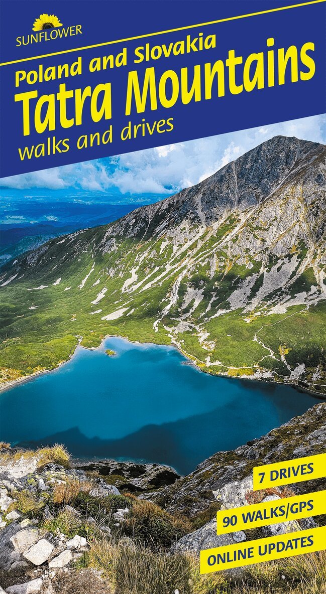
Explore Tatra Mountains of Poland and Slovakia the Easy Way – On Foot and by CarDiscover the Tatra Mountains with the guide that’s been trusted by travellers for many years. The Sunflower Tatra Mountains guide is more than a walking book – it’s your complete alpine companion for hiking, exploring and scenic driving, helping you experience this spectacular region at your own pace.Fully updated after the authors’ latest trip, and with every walk rechecked, this established guide helps visitors uncover jagged limestone peaks, glacial valleys, alpine meadows and traditional mountain villages with confidence.Ideal for anyone planning a Tatra Mountains walking holiday, from classic valley routes and lakeside trails to high mountain ascents and flexible day trips, this guide helps you see more of the region with less effort.Why choose Sunflower Tatra Mountains:90 long and short walks for all abilities - From gentle lakeside strolls and valley paths to demanding alpine climbs, all clearly graded so you can pick what suits youFully checked for every edition - Every route is revisited by the author to ensure accuracy, safety and up-to-date guidance, with the latest changes and traveller feedback available via Sunflower’s online update serviceUnique car tours included - 7 scenic driving routes for when you want to explore further or take a break from walkingEasy-to-use maps - Large-scale topographical maps with clearly marked waypoints, plus a pull-out map for convenience. A Zakopane town plan is also included, highlighting key access pointsSatnav & GPS ready - Free, downloadable GPS tracks plus satnav coordinates to get you straight to the startTurn every outing into a great day out - Handpicked picnic spots and ideas to help you slow down and enjoy the sceneryIdeal for flexible travel - Public transport timetables included, perfect if you don’t want to hire a car every dayUnlike purely technical hiking guides, Sunflower Guides are designed for enjoyment, reliability, flexibility and discovery. Whether you want a short scenic walk, a full alpine hike or a relaxed drive through mountain landscapes, everything is created to help you make the most of your time in the Tatra Mountains of Poland and Slovakia.
Häftad, Engelska, 2018
199 kr
Skickas inom 11-20 vardagar
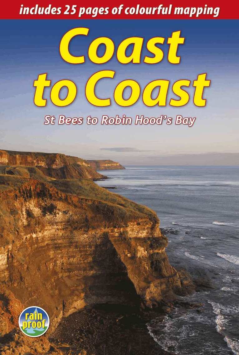
England's most popular walk runs for 184 miles (296 km) across the north of England from St Bees on the Irish Sea to Robin Hood's Bay on the North Sea. It passes through three National Parks - the Lake District, Yorkshire Dales and North York Moors - with fine scenery, welcoming pubs and plenty of accommodation. Devised by the legendary Wainwright, the Coast to Coast attracts walkers worldwide.The new edition is richly illustrated with 150 photographs, many by professional landscape photographer Karen Frenkel. There are 25 pages of colourful new mapping (scale 1:55,000) with cumulative distances, a 25-metre contour interval and points of interest marked. Each section has its own altitude profile, with details of where refreshments are available. Much detail has been added to route descriptions, in many places clarified by extra photographs with custom overlays to clarify route detail. Major route options have been added and mapped, and many updates made. The format is lightweight, robust and rainproof.
Häftad, Engelska, 2021
199 kr
Skickas
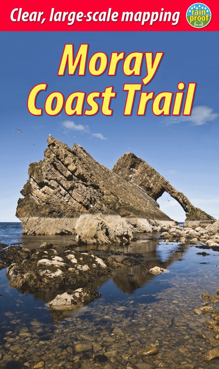
This guidebook describes two contrasting routes in north-east Scotland: the Moray Coast Trail from Forres to Cullen, and the Dava Way, an inland route from Grantown to Forres. The Moray Coast Trail consists of 44 miles of beach walking, coastal paths, quiet roads and old railway. The Dava Way extends for 23 miles inland with vistas of mountain, moorland and farmland. We also introduce the Moray Way, a concept combining most of the above two routes with part of the Speyside Way to form a 95-mile circuit of considerable beauty and historical interest.Here is all you need to plan and enjoy your holiday on and around the Moray Firth:detailed description of the Moray Coast Trail from west to east, and Dava Way from south to northsummaries of distance, terrain and refreshments for each sectiondetails of visitor attractions and side-tripsrichly illustrated habitats and wildlifeplanning information for travel by car, bus and planecontacts for accommodationmaps showing both routes at 1:40,000in full colour, with 75 photographsrucksack-friendly and on rainproof paper.
Häftad, Engelska, 2021
199 kr
Skickas
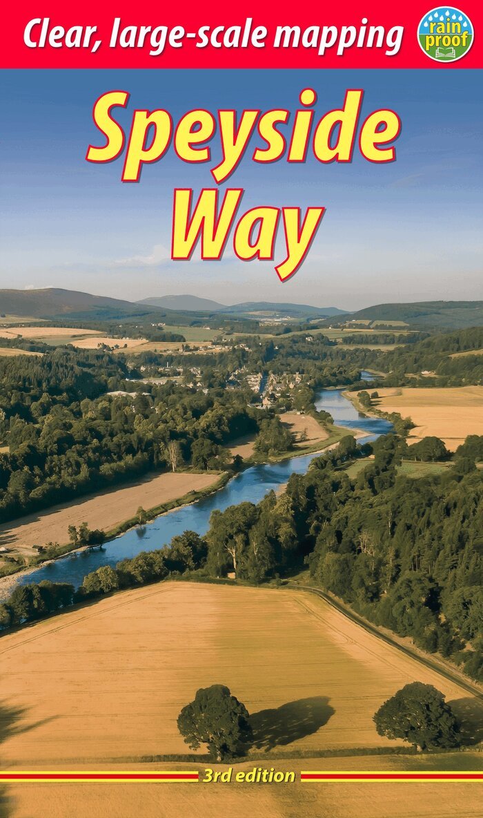
The Speyside Way runs for 85 miles (136 km) from the fishing port of Buckie to Newtonmore in the Cairngorms National Park, with an optional 16-mile spur to Tomintoul via Glenlivet. Following the lovely valley of the River Spey, you walk through countryside rich in malt whisky and wildlife, along riverside paths, railway trackbed and forest and moorland tracks. This fully revised edition of the essential trail guide is based on several field trips in 2021 to research the newly extended route. It has custom mapping at 1:42,500 and plans of villages and towns along the Way. The book contains all you need to plan and enjoy your holiday: detailed mapping of the whole route; the Way step-by-step, with summaries of distance, terrain and refreshment stops; habitats and wildlife, including ospreys, dolphins and wildcats; explanation of whisky-making and distilleries; planning information for travel by car, train, bus or plane; printed on rainproof paper throughout.
Häftad, Engelska, 2021
212 kr
Skickas
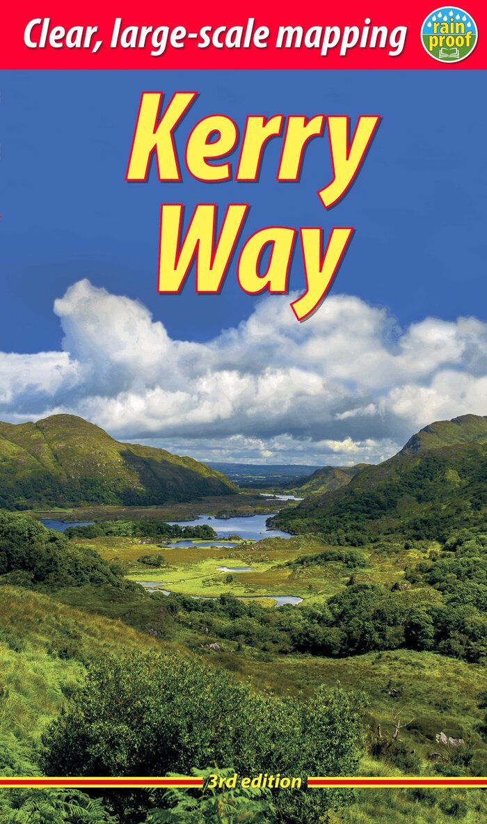
The Kerry Way runs around Ireland's most beautiful peninsula for 130 miles (210 km), starting from Killarney. It features mountain scenery and coastal panoramas, and is rich in geology and wildlife. The book contains large-scale mapping, 100 colour photographs and is robust and rainproof. It has a special feature on the ascent of Carrauntoohil, Ireland's highest peak. This third edition has been fully revised and updated following a comprehensive route check in 2021.
Häftad, Engelska, 2023
229 kr
Skickas
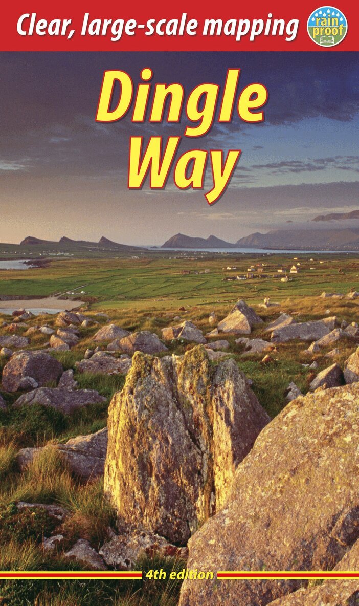
The Dingle Way runs for 114 miles (183 km) around the beautiful Dingle Peninsula. It starts and finishes in Tralee, accessible by train or bus from Dublin and from Kerry Airport. The complete walk takes eight days, but it can easily be shortened. The Dingle Way follows country lanes, quiet roads and cliff-top paths, punctuated by long stretches of glorious beach walking. It offers spectacular seascapes and mountain views. The peninsula is rich in wildlife, archaeology and charming Irish pubs.This guidebook was fully revised for 2023 with route updates, improved mapping and additional Gaelic place names. It contains all you need to plan and enjoy your holiday on the Dingle Way: the Way in sections, with summaries of distance, terrain and where to find food and drink; concise background on prehistory, heritage and wildlife; information about climbing Mount Eagle and Mount Brandon; a special feature on the Blasket Islands; planning information for travel by car, train, bus or plane; detailed mapping of the Dingle Way on 16 pages (scale 1:55,000); in full colour, with 75 photographs; and printed on rainproof paper throughout.
Häftad, Engelska, 2023
212 kr
Skickas
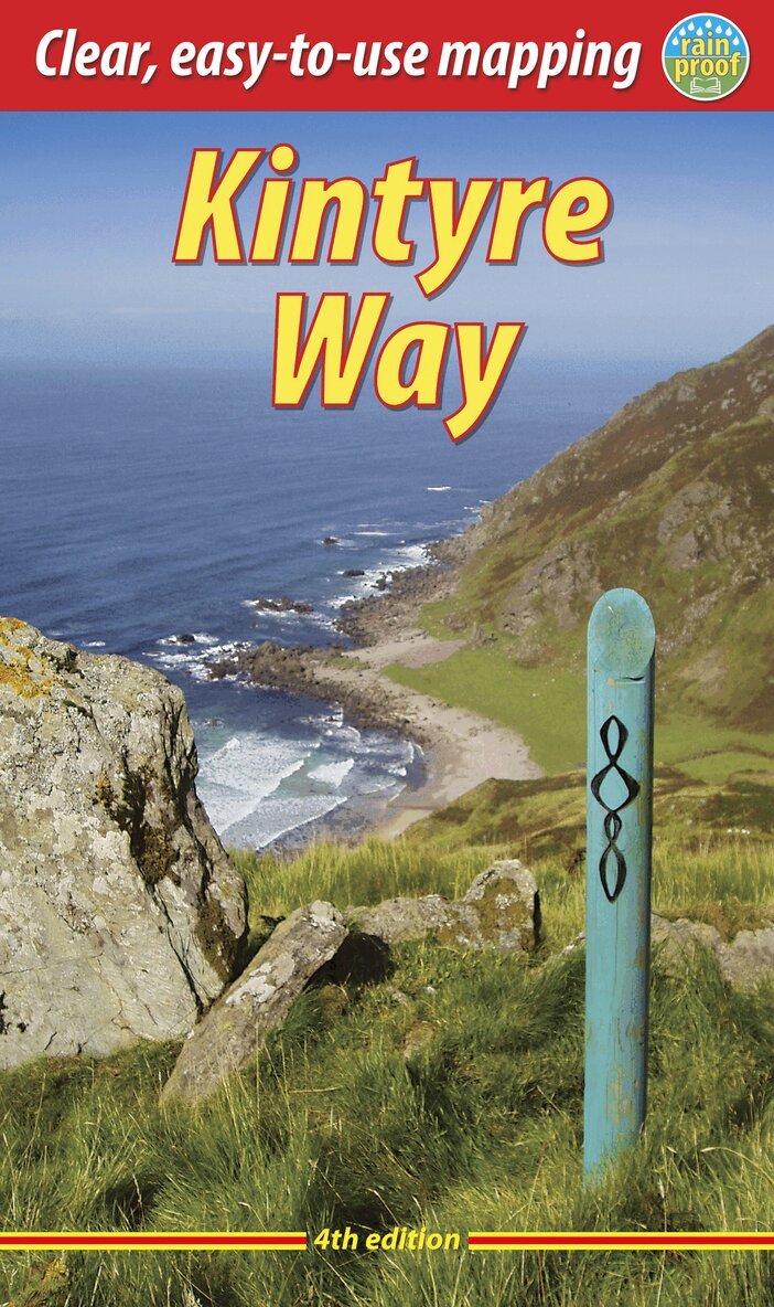
This fully waymarked trail runs for 101 miles/162 km southward from the beautiful natural harbour of Tarbert to Macrihanish, near the Mull of Kintyre. Criss-crossing the entire peninsula, you pass castles, abbeys and prehistoric remains, sometimes walking along rugged coastline, sometimes high on forestry tracks with glorious views over Arran, the Firth of Clyde and towards Ireland. You will enjoy many wildlife sightings in this peaceful area, famous as Scotland only "mainland island". Since it opened (2006) the route has changed in places. The 2023 edition of this essential guidebook contains all you need to plan and enjoy your holiday: 11 pages with mapping showing the whole route (1:70,000); the Way step-by-step, with summaries of distance, terrain and refreshment stops; habitats and wildlife; whisky-making in Kintyre; side-trip to the island of Gigha; and planning information for travel by car, ferry, bus and plane. The book is printed on rainproof paper throughout, and has over 90 colour photographs.
Häftad, Engelska, 2023
225 kr
Skickas
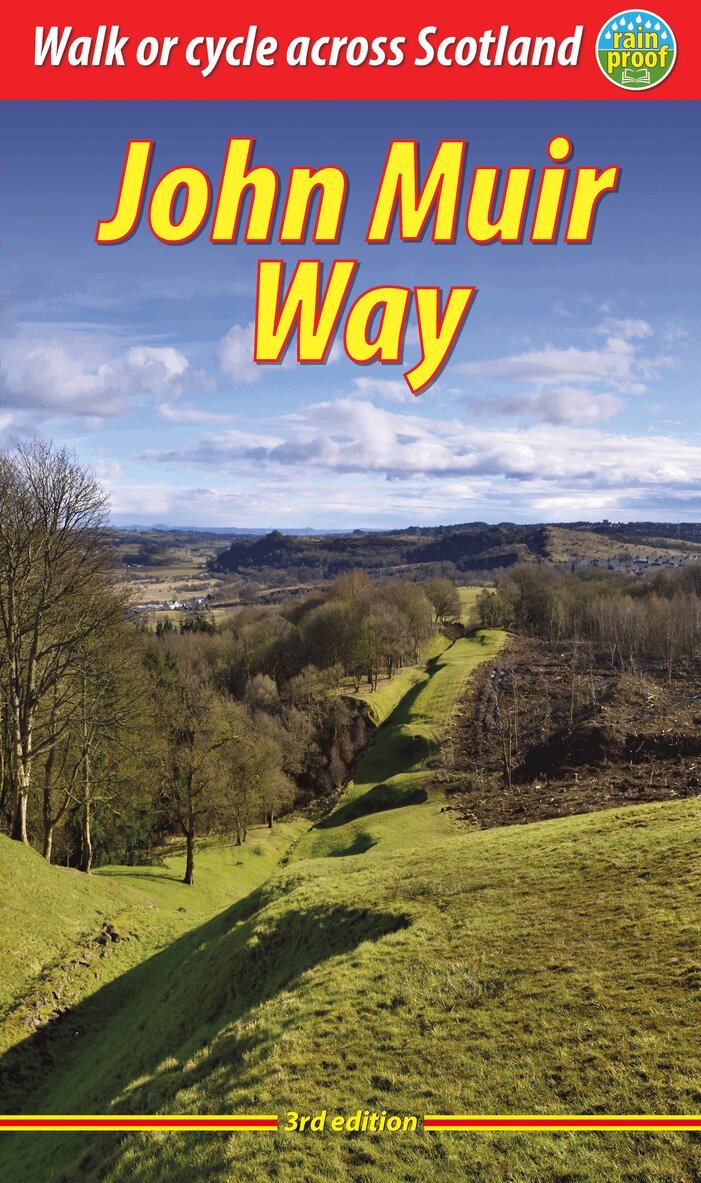
The John Muir Way is one of Scotland’s Great Trails. It runs for 134 miles (215 km) coast-to-coast across central Scotland, from Helensburgh on the Clyde to Dunbar on the North Sea. The route is as suitable for cyclists as for walkers, and it can be tackled as a coast-to-coast expedition or in sections – typically ten for walkers or five for cyclists.Our all-new 2023 third edition includes the latest route updates and features improved mapping with mileage markers along the route and a km grid. The mapping is at 1:75,000 and appears on 20 of its pages. It contains new material and despite having more pages is lighter and more pocketable than the previous edition thanks to perfect binding. It has many fresh photos and the new cover features the Antonine Wall from Bar Hill Fort.The John Muir Way’s appeal ranges from the Charles Rennie Mackintosh architecture of Helensburgh through the scenic grandeur of Loch Lomond, along two famous canals and past the amazing Falkirk Wheel, beside the Roman Antonine Wall, passing Linlithgow Palace, Blackness Castle and the Forth Bridges to the capital glories of Edinburgh. It goes beside the Firth of Forth to reach North Berwick, then heads inland to finish at Dunbar with its ruined castle and the John Muir birthplace.
Häftad, Engelska, 2024
212 kr
Skickas
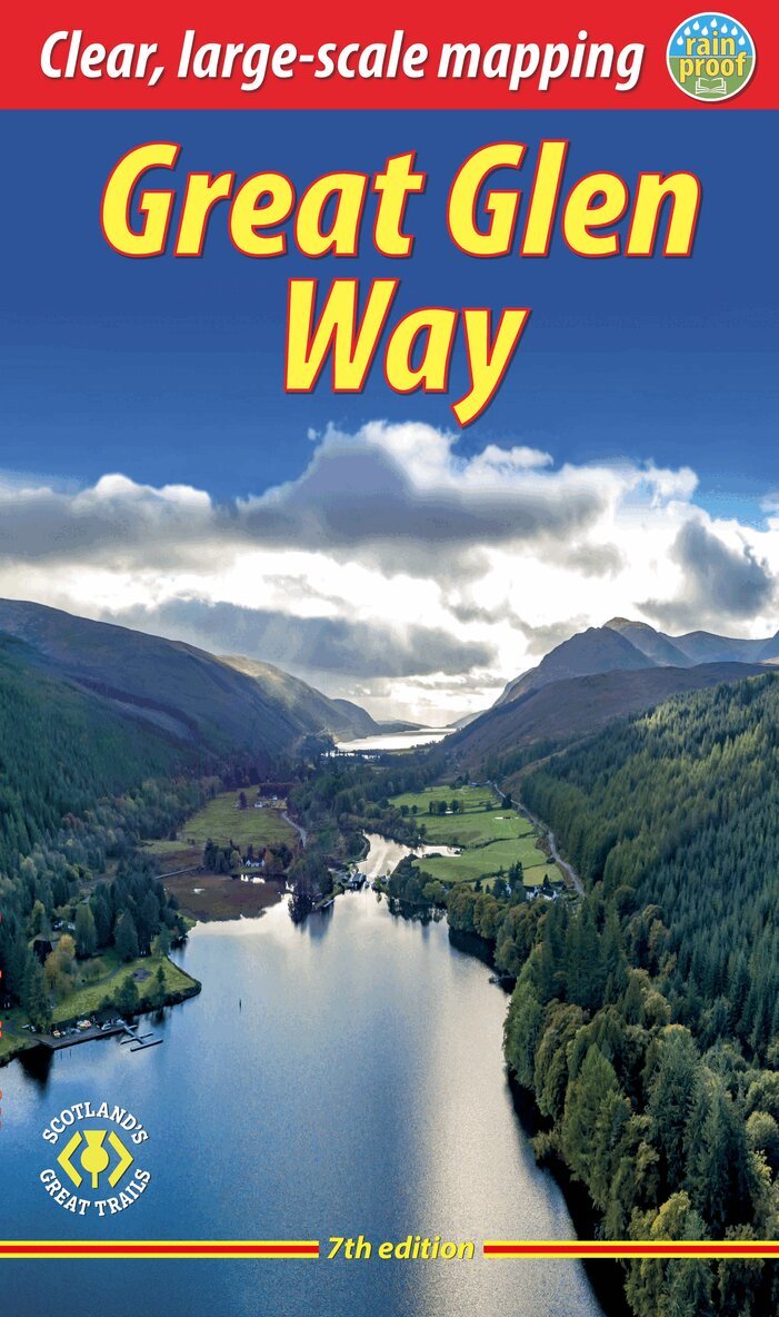
This guidebook (fully updated in 2024) contains all you need to plan and enjoy a holiday walking or cycling along Scotland's historic Great Glen (77 miles/124 km). The Way runs between Fort William and Inverness, passing beside Scotland's highest mountain, along its historic Caledonian Canal and alongside beautiful lochs, including Loch Ness with its famous monster legend and Urquhart Castle.This seventh edition covers all route options including the newly opened Abriachan section of High Route as well as details of the route changes that apply during 2024 and 2025 because of the closure of Loch Oichside and the High Route beyond Fort Augustus.Here is all you need to plan and enjoy the Great Glen Way – on foot or on a bike:detailed mapping on 13 pages at 1:38,000 with relief contours and colouringhill and mountain side-trips including Ben Nevisbackground on canal heritage, clan history and wildlifedetailed description for each section with points of interest and mileage referencessummaries showing distance, terrain, food/drink stops and altitude profileplanning information for walkers and cyclists, with travel to/from the routetown plans of Fort William and Invernessin full colour, with 100+ photosrucksack-friendly and on rainproof paper throughout.
Häftad, Engelska, 2024
339 kr
Skickas inom 3-6 vardagar
Häftad, Engelska, 2025
212 kr
Skickas
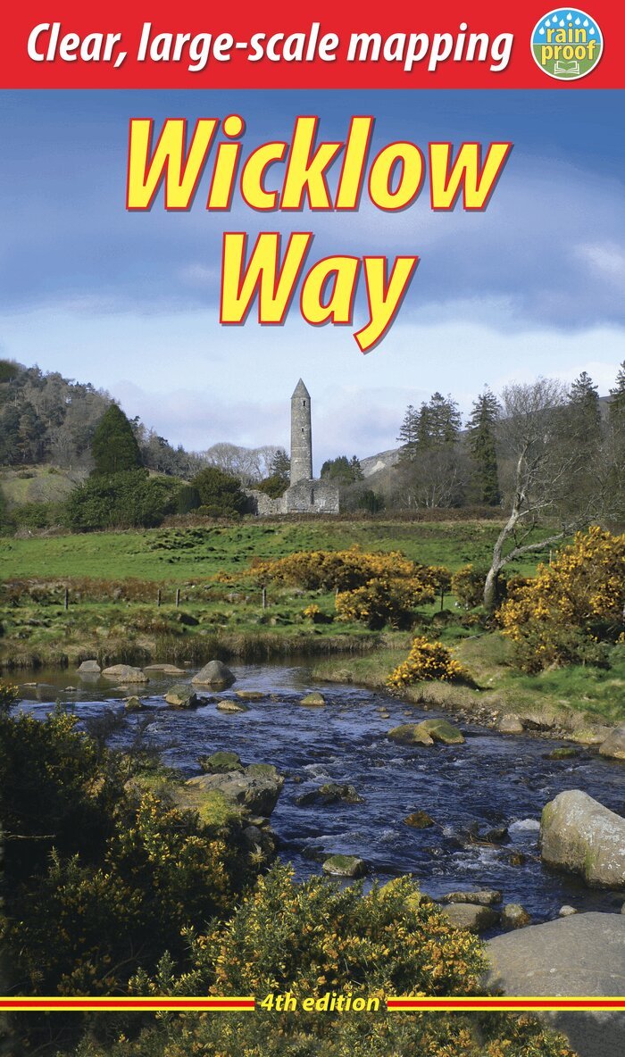
The Wicklow Way is Ireland's first and most popular Waymarked Way, running between Marlay Park (Dublin) and Clonegal, 81 miles (130 km) to the south. It offers varied and scenic walking on the flanks of the Wicklow mountains with loughs, rivers and historic remains. Much of the route lies over 1600 feet (500 metres) giving glorious views, and lower sections run through forests and farmland, over a mixture of tracks, roads and pathways rich in wildlife. This guidebook was updated in 2025 and contains all you need to plan and enjoy your holiday: detailed mapping showing the route and options (1:35,000); rainproof paper throughout; the Way in sections, with summaries of distance, terrain and where to find food and drink; concise background on history, geology and wildlife; an expanded 6-page feature on the monastic city of Glendalough; planning information for travel by car, train, bus or plane; in full colour, with 95 photographs.