
The Reverend Sandy Brown – författare
202 kr
Skickas
238 kr
Skickas
202 kr
Skickas
220 kr
Läs direkt efter köp
231 kr
Läs direkt efter köp
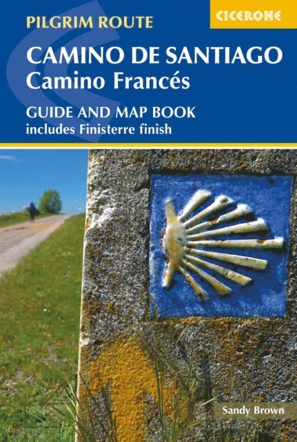
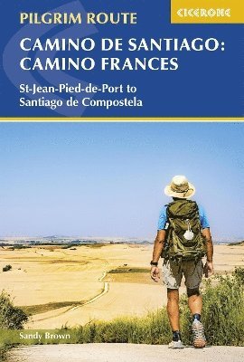
A guidebook to walking the Camino Frances through northern Spain, the most popular version of the Camino de Santiago pilgrimage or Way of St James. Covering 784km (487 miles), this pilgrimage route from St-Jean-Pied-de-Port to Santiago de Compostela takes 4–5 weeks and is suitable for any reasonably fit walker.
The route is described from east to west in 36 stages, each between 17 and 36km (12–22 miles) in length. An additional section from Santiago de Compostela to Finisterre and Muxia on the Galician coast is also included.
Includes a separate map booklet containing 1:100,000 mapping and route line GPX files available to download Handy stage planning tables and pilgrim lodging listings help you plan your itinerary Detailed information about refreshments and facilities along the route Advice on planning and preparation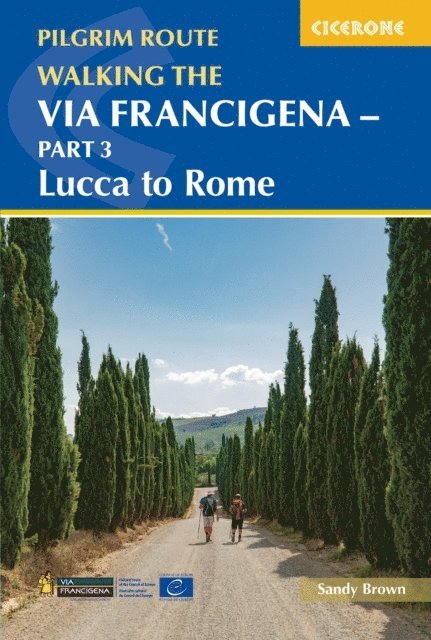
244 kr
Läs direkt efter köp
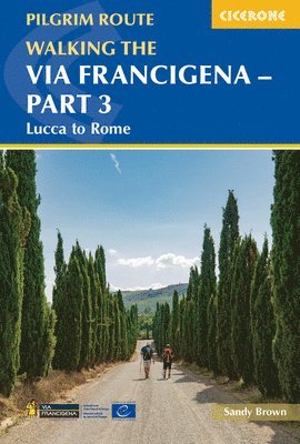
A guidebook to walking the 2000km Via Francigena pilgrimage route from Canterbury to Rome. Part of a three-volume set, this volume covers the final 411km through Italy, from Lucca to Rome. Suitable for most abilities – although the hilly terrain calls for moderate fitness – this section can be walked in under three weeks.
The route is presented in 18 stages, of between 14 and 33km (9–20 miles).
GPX files available to download 1:100,000 mapping plus larger-scale town maps for key locations Handy route summary tables and pilgrim lodging details help you plan your itinerary Comprehensive information about refreshments and facilities along the route Advice on planning and preparation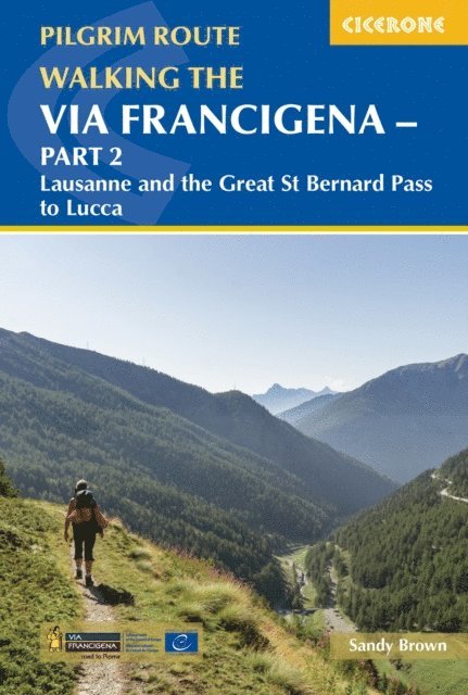
244 kr
Läs direkt efter köp
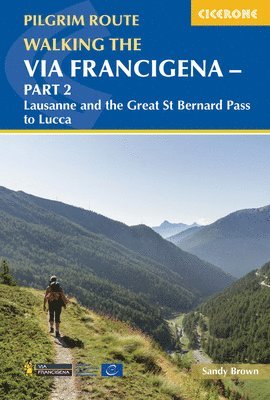
A guidebook to walking the 2000km Via Francigena pilgrimage route from Canterbury to Rome. Part of a three-volume set, this volume covers the middle 726km, from Lausanne, Switzerland, to Lucca, Italy. Suitable for most abilities – although the crossing of the Jura mountains calls for moderate fitness – this section can be walked in around a month, or there is the option to cycle some of the way.
The route is presented in 32 stages, of between 13 and 34km (8–21 miles).
GPX files available to download 1:100,000 mapping plus larger-scale town maps for key locations Handy route summary tables and pilgrim lodging details help you plan your itinerary Comprehensive information about refreshments and facilities along the route Advice on planning and preparation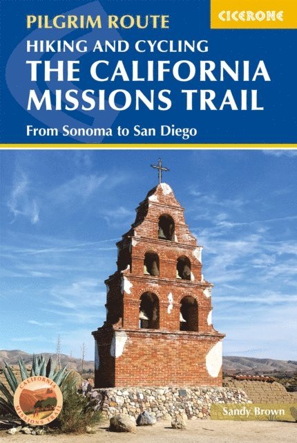
244 kr
Läs direkt efter köp
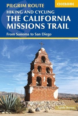
A guidebook to walking or cycling the California Missions Trail. The 802 mile (1291km) pilgrimage route from Sonoma to San Diego links 21 Christian missions founded by the Spanish over 200 years ago. It can be enjoyed by walkers of all abilities, or alternatively, 95% of the route is also suitable for road bikes.
The Missions Trail is described in 20 stages of between 16 and 60 miles (26–97km), with alternative options for cyclists. It can be walked in 50–60 days or cycled in 12–20 days.
GPX files available to download 1:100,000 mapping plus larger-scale town maps for key locations Handy route summary tables and pilgrim lodging listings help you plan your itinerary Detailed information about refreshments and facilities along the route Advice on planning and preparation The history of the missions, as well as the story of the Native Americans who originally shaped the landscape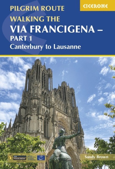
244 kr
Läs direkt efter köp
A guidebook to walking the 2000km Via Francigena pilgrimage route from Canterbury to Rome. Part of a three-volume set, this volume covers the first 1090km, from Canterbury, England, through France to Lausanne, Switzerland. Suitable for most abilities, this section can be walked in around two months, or there is the option to cycle the majority of the way, shaving around three weeks off the total time.
The route is presented in 52 stages, of between 11 and 40km (7–25 miles). Variants for cyclists are shown on the maps but not described.
GPX files available to download 1:100,000 mapping plus larger-scale town maps for key locations Handy route summary tables and pilgrim lodging details help you plan your itinerary Comprehensive information about refreshments and facilities along the route Advice on planning and preparation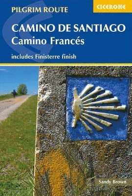
226 kr
Skickas
202 kr
Skickas
238 kr
Skickas
212 kr
Kommande

151 kr
Kommande

244 kr
Läs direkt efter köp
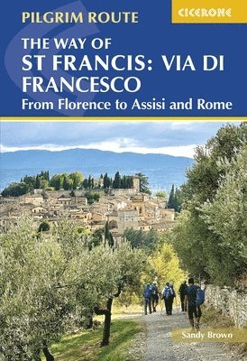
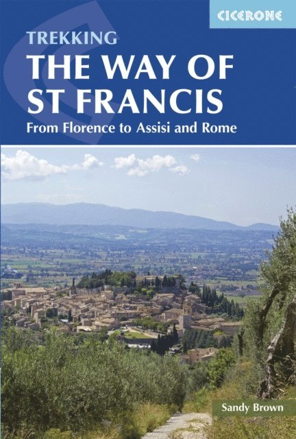
A guidebook to walking the Way of St Francis (Via di Francesco) between Florence and Rome. Covering 518km (322 miles), this pilgrimage route through Italy''s Tuscany and Umbria takes around 1 month and is suitable for any reasonably fit walker.
The route is described from north to south in 27 stages, each between 11 and 29km (7-18 miles) in length. Alternate stages are given to allow you to visit Perugia and Farfa Abbey and 2 alternate sections are also included in outline providing a choice of routes from Florence to Santuario della Verna and between Assisi and Rieti.
1:100,000 mapping plus larger-scale urban maps for key locations GPX files available to download Handy stage planning tables and pilgrim lodging listings help you plan your itinerary Detailed information about refreshments and facilities along the route Advice on planning, preparation and pilgrim credentials
244 kr
Läs direkt efter köp
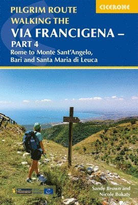
A guidebook to walking the final section of the Via Francigena pilgrimage. Part of a four-volume set, this volume covers the 940km historic route from Rome to Santa Maria di Leuca in Puglia.
The route is presented in 52 stages of 9 to 30km (6–19 miles), including alternative routes, with information on facilities and pilgrim hostels. Suitable for most abilities.
1:100,000 maps and profiles included for each stage GPX files available to download Handy route summary tables help you plan your itinerary Refreshment and accommodation information given for each trek stage Advice on planning and preparation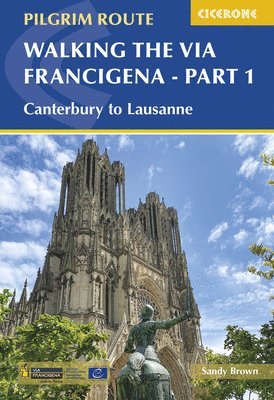
202 kr
Skickas