
Wilson Ltd Imray, Laurie, Norie – författare
Visar alla böcker från författaren . Handla med fri frakt och snabb leverans.
5 produkter
5 produkter
Häftad, Engelska, 2021
296 kr
Skickas
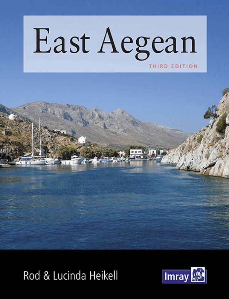
The expanded third edition of this popular cruising guide encompasses the Greek Dodecanese islands and the Turkish coast eastwards from the Samos Strait to Kas and Kekova. Fully illustrated with up to date plans and numerous new photographs, it is packed with all the essential information for getting to the area, formalities and sailing these beautiful cruising grounds. There is a level of further detail to this coverage in terms of anchorages and other destinations than is found in the Heikell?s Greek Waters Pilot and Turkish Waters and Cyprus Pilot. This handy guide also whets the appetite for the local cuisine and culture and gives some historic context to exploration ashore. 'The fantastic background information with historical and mythological anecdotes gives ... a richness too often missing from bald pilot guides.' Royal Cruising Club '... no East Med cruiser will want to sail without a copy.' Yachting Monthly
Inbunden, Engelska, 2021
656 kr
Skickas
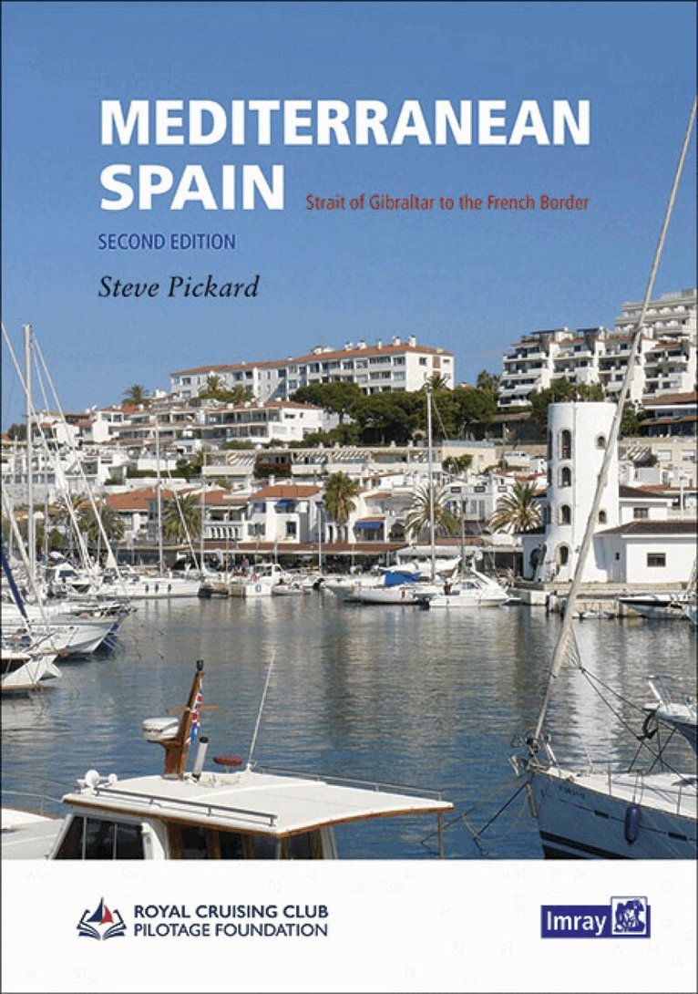
This is the only detailed pilot for the Spanish Mediterranean coast running up from Gibraltar to the border with France. It covers a varied cruising area that includes the mountain-backed Costas del and Sol and Blanca, the expansive lagoon of the Mar Menor, the low lying Ebro delta and the rugged Costa Brava. In between are several great cities including Malaga, Valencia, Tarragona and Barcelona, the Catalan capital. The volume opens with Gibraltar and La Línea. With Imray charts for the same coast Mediterranean Spain provides all the data necessary for anyone based in Spain, transitting to and from areas further East or the Balearics, or just exploring this rich and varied coast and its hinterland.
Häftad, Engelska, 2021
284 kr
Skickas
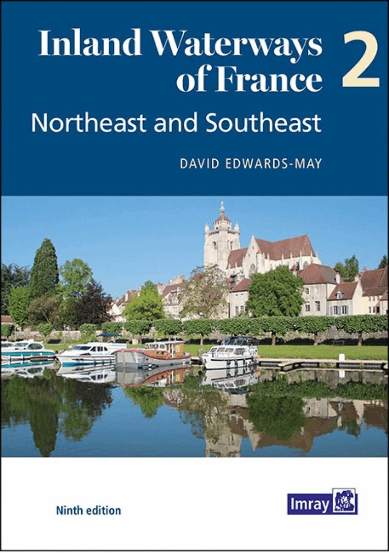
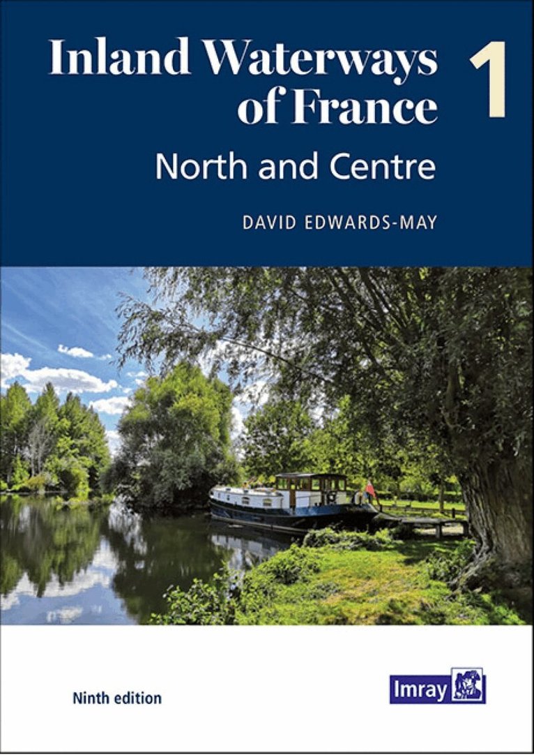
The ninth edition of Inland Waterways of France is the ideal guide for planning cruises in and through the most fascinating and diverse waterway network in Europe. This edition takes a new paperback format, split into three volumes. David Edwards-May has investigated the many developments that have taken place during the last 10 years and presents a detailed description of the extraordinarily diverse system of navigable rivers and canals in France. With the restoration of historic navigations, the system now totals 9000 kilometres, and has become a favourite destination for tens of thousands of boaters from Europe and the rest of the world. This volume will serve to plan ongoing or future cruises through the 2500 kilometres of waterways from the northeast - the cross-border rivers Meuse, Moselle, Sarre and Rhine - to the Mediterranean. On the busier waterways recreational use is growing alongside the commercial traffic, but there are many places where boats can moor safely. Waterways are an important part of the appeal of France as a tourist destination. This new edition sets out the current state of the network in 126 pages in full colour, with detailed maps of 40 key sites, towns and junctions, and overview maps for each waterway. It is a unique blend of practical information, descriptions of places, maps, background historical notes and colour photographs.
Inbunden, Engelska, 2022
489 kr
Tillfälligt slut
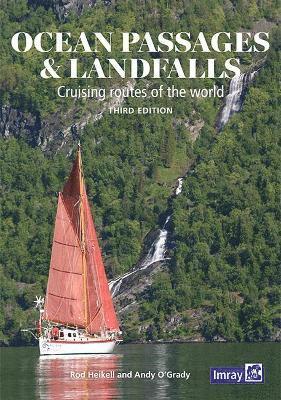
This cruising guide for ocean voyagers provides invaluable passage-planning information for tried and tested routes around the world. Climates and weather patterns, currents, seasons and timings are key to selecting routes, but just as important is knowing something about the countries that you will arrive in. Details of the expected formalities and regulations are followed by essential information on key landfalls, accompanied by the first-hand observations of well-known world sailors and authors Rod Heikell and Andy O’Grady.Text and plans have been updated for this third edition which is illustrated with a number of new photographs to inspire both dreamers and passagemakers.“I have recently been planning a voyage from Trinidad to New Zealand using Ocean Passages and Landfalls by Rod Heikell and Andy O'Grady. The book has been an exceptional resource. The mass of information on a wealth of subjects is excellent. The layout is beautifully put together and very accessible. The pilotage and chartlets will be invaluable. The book will certainly be travelling with me and I cannot recommend it highly enough to anybody who is planning ocean voyaging.” Theresa Kewell, S/Y Mr Blue‘This is a ‘blue planet’ book. Its scope is awe-inspiring as it takes an overview of the globe as the yachtsman’s potential cruising ground… It is of course possible to glean all the macro information from scientific geophysical sources, but the personality and experience of the authors adds an indispensable ingredient.’
Häftad, Engelska, 2021
301 kr
Tillfälligt slut
The ninth edition of Inland Waterways of France is the ideal guide for planning cruises in and through the most fascinating and diverse waterway network in Europe. This edition takes a new paperback format, split into three volumes. Author David Edwards-May presents a detailed overview of the waterways extending from the English Channel through Northern France, Picardy and Paris to Central France and Burgundy. This system totals 2700 kilometres of waterways that are as vibrant as ever, and include the new Seine-Nord Europe Canal, now under construction, to be completed by 2028. Recreational use is growing alongside the commercial traffic on the busier waterways, while Champagne, Burgundy and Central France have become cruising destinations in their own right. This first volume of the new edition sets out the current state of the network in 200 pages in full colour, with detailed maps of junctions and other key sites on the network, overview maps for each waterway, and route descriptions. It is a unique blend of practical information, maps, background historical notes and colour photographs.