
Xuan Zhu – författare

552 kr
Skickas inom 5-8 vardagar
1 958 kr
Skickas inom 10-15 vardagar
639 kr
Läs direkt efter köp
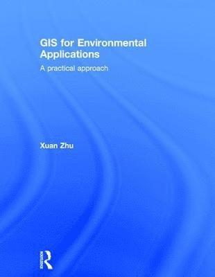
Geographical information systems (GIS) are powerful tools for reporting on the environment, natural resources and social and economic development; modelling the environmental, biophysical, social and economic processes; assessing environmental and social impacts; evaluating environmental, social and economic policies and actions and dissimilating spatial information. Geographical Information Systems: A Practical Approach provides the fullest available introduction to GIS and their environmental, social and economic applications. This new edition has been substantially revised and updated to incorporate the key developments in GIS technology and spatial data science and their applications that have taken place in recent years.
The key features include:
A comprehensive coverage of concepts, methods, techniques and tools in GIS for spatial data capturing, processing, visualisation, analysis, modelling and decision-making Incorporation of advanced machine learning techniques for spatial data analysis and modelling Extended coverage of spatial visualisation with 3D mapping and online mapping Weaving together of GIS theory and practice to help readers learn important GIS concepts and methods and develop their understanding through practicals with ArcGIS Pro or QGIS New and updated case studies illustrating the innovative use of GIS for a wide range of applicationsThe second edition of this text continues to bring up-to-date GIS knowledge, tools and practices into one cohesive, comprehensive, concise and self-contained book which is accessible to students, scientists and practitioners in environmental science, earth science, geography, archaeology and other scientific studies that have a spatial dimension.

617 kr
Läs direkt efter köp
Geographical information systems (GIS) are powerful tools for reporting on the environment, natural resources and social and economic development; modelling the environmental, biophysical, social and economic processes; assessing environmental and social impacts; evaluating environmental, social and economic policies and actions and dissimilating spatial information. Geographical Information Systems: A Practical Approach provides the fullest available introduction to GIS and their environmental, social and economic applications. This new edition has been substantially revised and updated to incorporate the key developments in GIS technology and spatial data science and their applications that have taken place in recent years.
The key features include:
A comprehensive coverage of concepts, methods, techniques and tools in GIS for spatial data capturing, processing, visualisation, analysis, modelling and decision-making Incorporation of advanced machine learning techniques for spatial data analysis and modelling Extended coverage of spatial visualisation with 3D mapping and online mapping Weaving together of GIS theory and practice to help readers learn important GIS concepts and methods and develop their understanding through practicals with ArcGIS Pro or QGIS New and updated case studies illustrating the innovative use of GIS for a wide range of applicationsThe second edition of this text continues to bring up-to-date GIS knowledge, tools and practices into one cohesive, comprehensive, concise and self-contained book which is accessible to students, scientists and practitioners in environmental science, earth science, geography, archaeology and other scientific studies that have a spatial dimension.

883 kr
Skickas inom 10-15 vardagar

Proceedings of UASG 2019
Unmanned Aerial System in Geomatics
2 146 kr
Skickas inom 10-15 vardagar
2 777 kr
Läs direkt efter köp
This volume gathers the latest advances, innovations, and applications in the field of geographic information systems and unmanned aerial vehicle (UAV) technologies, as presented by leading researchers and engineers at the 1st International Conference on Unmanned Aerial System in Geomatics (UASG), held in Roorkee, India on April 6-7, 2019. It covers highly diverse topics, including photogrammetry and remote sensing, surveying, UAV manufacturing, geospatial data sensing, UAV processing, visualization, and management, UAV applications and regulations, geo-informatics and geomatics. The contributions, which were selected by means of a rigorous international peer-review process, highlight numerous exciting ideas that will spur novel research directions and foster multidisciplinary collaboration among different specialists.
Proceedings of UASG 2019
Unmanned Aerial System in Geomatics
2 146 kr
Skickas inom 10-15 vardagar
1 077 kr
Skickas inom 10-15 vardagar
1 416 kr
Läs direkt efter köp
1 077 kr
Skickas inom 10-15 vardagar
1 789 kr
Tillfälligt slut
561 kr
Tillfälligt slut