
Yuta Izumi – författare

844 kr
Läs direkt efter köp
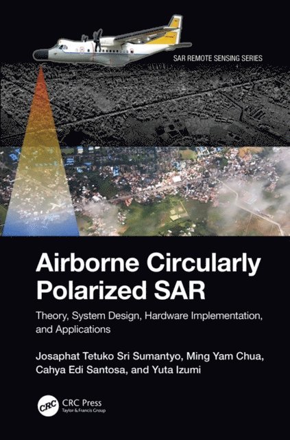
A comprehensive resource on airborne synthetic aperture radar (SAR) systems, Airborne Circularly Polarized SAR explains the theory, system design, hardware and software, and applications of airborne circularly polarized SAR in environmental monitoring and other uses. Readers learn how to build the hardware and software of circularly polarized SAR, the antenna system, and how to generate point target responses and images using the range doppler algorithm (RDA) from raw signal data. The book discusses applications and analyzing techniques using a circularly polarized SAR system and image processing. Images and MATLAB® codes are provided to help professionals and researchers with their applications and future studies.
Features
Provides the theory of circularly polarized wave and polarimetry related to system design, scattering analysis, polarimetric SAR, and applications in microwave remote sensing Explains the real radio frequency (RF) system and the original antenna, including circuit explanation and know-how of measurement technique to adjust to the required parameter in system design Discusses the technique of ground test and flight mission to calibrate and validate the performance of airborne circularly polarized SAR Highlights image signal processing with MATLAB codes and how to obtain a single look complex (SLC) image for further applications Includes several applications of airborne circularly polarized SAR from international leading expertsThis book is beneficial to professionals, researchers, academics, and graduate students from disciplines such as Electronic Engineering; Radar Systems; Aerospace Engineering; Signal Processing; Image Processing; Environmental Remote Sensing.
874 kr
Läs direkt efter köp
A comprehensive resource on airborne synthetic aperture radar (SAR) systems, Airborne Circularly Polarized SAR explains the theory, system design, hardware and software, and applications of airborne circularly polarized SAR in environmental monitoring and other uses. Readers learn how to build the hardware and software of circularly polarized SAR, the antenna system, and how to generate point target responses and images using the range doppler algorithm (RDA) from raw signal data. The book discusses applications and analyzing techniques using a circularly polarized SAR system and image processing. Images and MATLAB® codes are provided to help professionals and researchers with their applications and future studies.
Features
Provides the theory of circularly polarized wave and polarimetry related to system design, scattering analysis, polarimetric SAR, and applications in microwave remote sensing Explains the real radio frequency (RF) system and the original antenna, including circuit explanation and know-how of measurement technique to adjust to the required parameter in system design Discusses the technique of ground test and flight mission to calibrate and validate the performance of airborne circularly polarized SAR Highlights image signal processing with MATLAB codes and how to obtain a single look complex (SLC) image for further applications Includes several applications of airborne circularly polarized SAR from international leading expertsThis book is beneficial to professionals, researchers, academics, and graduate students from disciplines such as Electronic Engineering; Radar Systems; Aerospace Engineering; Signal Processing; Image Processing; Environmental Remote Sensing.
2 422 kr
Skickas inom 10-15 vardagar
779 kr
Skickas inom 10-15 vardagar
2 057 kr
Skickas inom 10-15 vardagar
838 kr
Kommande

1 849 kr
Läs direkt efter köp
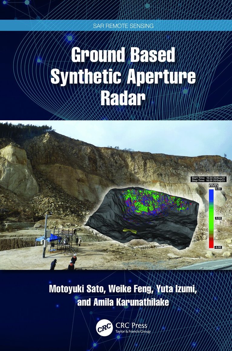
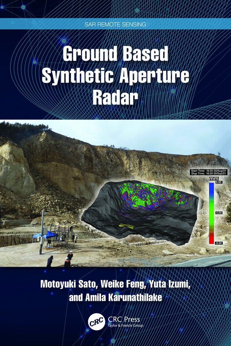
Ground based synthetic aperture radar (GB-SAR) is used to effectively mitigate natural disasters and monitor social infrastructure such as bridges, dams, and airport pavement surfaces. This book explains the fundamentals of radar technology, the principles of synthetic aperture radar (SAR) image generation, and interferometric SAR (InSAR) processing for observing small ground surface deformation less than 1 mm. More advanced multiple-input multiple-output (MIMO) radar for ground surface observation is introduced. The authors also provide examples of GB-SAR used for monitoring landslide and vegetation to show its potential and limitations. Understanding this advanced technology and its applications will help readers plan and install GB-SAR systems in real-life projects.
Features:
Introduces GB-SAR, an advanced tool that measures in-millimeter ground surface displacement. Explains how the GB-SAR system can be installed for landslide monitoring. Provides a new radar technology that monitors vibrations of infrastructure remotely. Discusses the advanced radar technology related to polarimetry and interferometry. Includes several case studies applying the tools and techniques discussed to natural disasters, such as landslides, volcanoes, glaciers, and so on.This book is intended for civil professionals who deal with disaster mitigation and infrastructure monitoring and those in electrical engineering, including radar technology. It is also an excellent resource for upper-level undergraduate and graduate students taking courses in remote sensing and photogrammetry, geography, geodesy, information science, engineering, and geology, as well as researchers and scientists interested in learning the techniques and technologies for collecting, analyzing, managing, and visualizing geospatial data sets.
1 849 kr
Läs direkt efter köp
Ground based synthetic aperture radar (GB-SAR) is used to effectively mitigate natural disasters and monitor social infrastructure such as bridges, dams, and airport pavement surfaces. This book explains the fundamentals of radar technology, the principles of synthetic aperture radar (SAR) image generation, and interferometric SAR (InSAR) processing for observing small ground surface deformation less than 1 mm. More advanced multiple-input multiple-output (MIMO) radar for ground surface observation is introduced. The authors also provide examples of GB-SAR used for monitoring landslide and vegetation to show its potential and limitations. Understanding this advanced technology and its applications will help readers plan and install GB-SAR systems in real-life projects.
Features:
Introduces GB-SAR, an advanced tool that measures in-millimeter ground surface displacement. Explains how the GB-SAR system can be installed for landslide monitoring. Provides a new radar technology that monitors vibrations of infrastructure remotely. Discusses the advanced radar technology related to polarimetry and interferometry. Includes several case studies applying the tools and techniques discussed to natural disasters, such as landslides, volcanoes, glaciers, and so on.This book is intended for civil professionals who deal with disaster mitigation and infrastructure monitoring and those in electrical engineering, including radar technology. It is also an excellent resource for upper-level undergraduate and graduate students taking courses in remote sensing and photogrammetry, geography, geodesy, information science, engineering, and geology, as well as researchers and scientists interested in learning the techniques and technologies for collecting, analyzing, managing, and visualizing geospatial data sets.