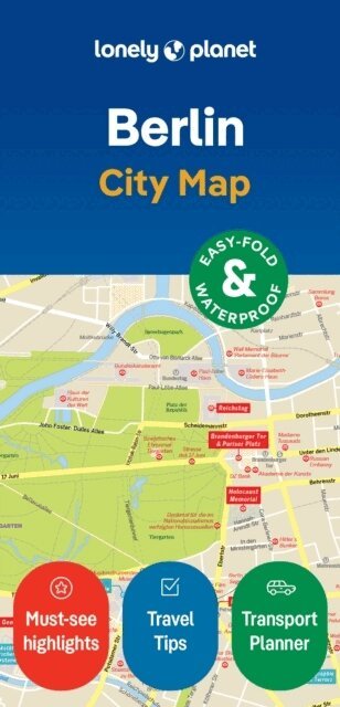
Lonely Planet London City Map
Durable, Waterproof, Easy-Fold Planning Map with Attractions & Walking Tours
2023
Del i serien Compact City Planning Maps
87 kr
Beställningsvara. Skickas inom 5-8 vardagar. Fri frakt över 249 kr.
Beskrivning
Experience your dream trip with Lonely Planet's London City Map, the ultimate travel tool to help you plan and navigate your way around amazing local sights, landmarks and attractions.Step inside Shakespeare's Globe, take in some of the finest views of the city on the London Eye, get up close with dinosaurs at the Natural History Museum, and decide where you want to go next and what you want to see in each of the city's exciting neighbourhoods.Inside Lonely Planet's London City Map:Full colour map in a durable easy-fold formatSheet size: 24.8” (630mm) wide x 19.5” (494mm) high, folded size: 3.74” (95mm) wide x 7.76” (197mm) highWaterproof and packaged in a handy slipcaseAlphanumeric grid to find points of interest easilyPublic transport explained to help you get aroundTop picks of must-see highlights including Westminster Abbey, the Victoria & Albert Museum, and Hyde ParkEssential travel tips and nuts and bolts information on local words, the Oyster smart card, and travelling to and from the airportBeautiful photography and bonus zoomed-in map of KnightsbridgeCovers: Regent's Park, Fitzrovia, Marylebone, Somers Town, King's Cross, St Pancras, Bloomsbury, Pentonville, Clerkenwell, Finsbury, Shoreditch, Spitalfields, Holborn, Covent Garden, Mayfair, St James's, Soho, Westminster, Belgravia, Knightsbridge, South Bank, Southwark, Lambeth, Borough, Bermondsey, Chelsea, Pimlico Get ready for your next adventure with Lonely Planet's London City Map, the ultimate navigation tool to help you explore London's well-known attractions and best-kept secrets.
Produktinformation
Utforska kategorier
Hoppa över listan


Mer från samma författare
Lonely Planet Central Asia
Lonely Planet, Bradley Mayhew, Mark Elliott, Anna Kaminski, Stephen Lioy
Häftad, 2025
233 kr
- Nyhet
Lonely Planet Estonia, Latvia & Lithuania
Lonely Planet, Anna Kaminski, Leonid Ragozin, Angelo Zinna
Häftad, 2026
201 kr
- Nyhet
- Nyhet
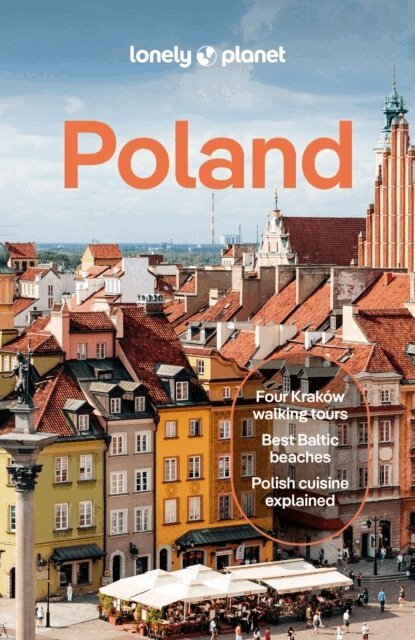
Lonely Planet Poland
Lonely Planet, Simon Richmond, Marc Di Duca, Anthony Haywood, Anna Kaminski, Ryan Ver Berkmoes
Häftad, 2026
201 kr
Hoppa över listan
Mer från samma serie
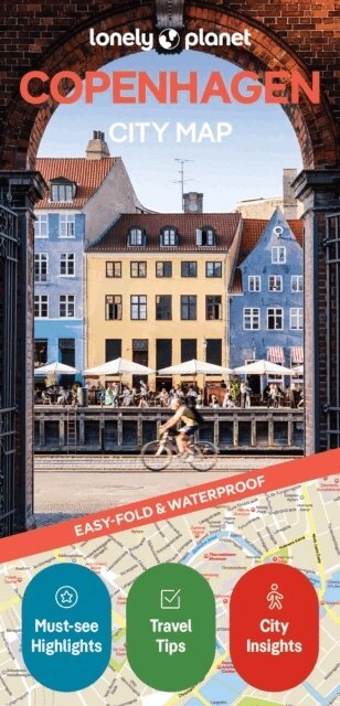
Lonely Planet Copenhagen City Map
Lonely Planet, O' Thomas Malley, Abigail Blasi, Laura Hall, Lonely Planet
76 kr