
C Charts – serie
Visar alla böcker i serien C Charts. Handla med fri frakt och snabb leverans.
10 produkter
10 produkter
Engelska, 2024
351 kr
Skickas
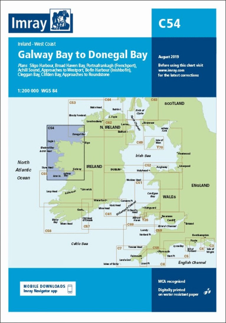
Plans included: Sligo Harbour (1:70 000) Broad Haven Bay (1:75 000) Portnafrankagh (Frenchport) (1:25 000) Achill Sound (1:70 000) Approaches to Westport (1:45 000) Bofin Harbour (Inishbofin) (1:20 000) Cleggan Bay (1:50 000) Clifden Bay (1:75 000) Approaches to Roundstone (1:50 000) On this edition the chart specification has been improved to show coloured light flashes. Depths have been updated from the latest surveys where available. The inset plan of Broad Haven Bay has been extended east to include Ross Port. There has been general updating throughout.
351 kr
Skickas
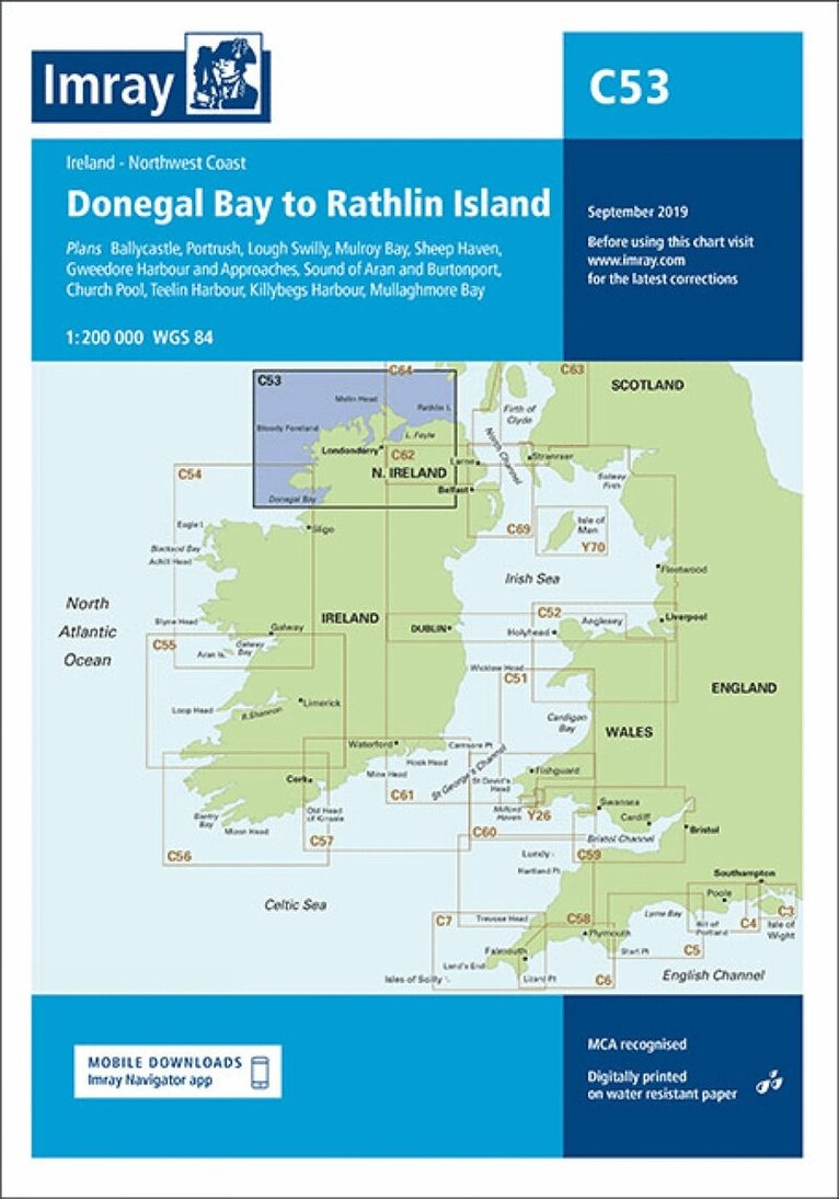
Plans included: Ballycastle (1:5000) Portrush (1:15 000) Lough Swilly (1:45 000) Mulroy Bay (1:30 000) Sheep Haven (1:30 000) Gweedore Harbour and Approaches (1:40 000) Sound of Aran and Burtonport (1:30 000) Church Pool (1:20 000) Teelin Harbour (1:10 000) Killybegs Harbour (1:12 500) Mullaghmore Bay (1:50 000) On this edition the chart specification has been improved to show coloured light flashes. Depths have been updated from the latest surveys where available. New plans of Ballycastle and Church Pool are now included. There has been general updating throughout.
Engelska, 2024
351 kr
Skickas
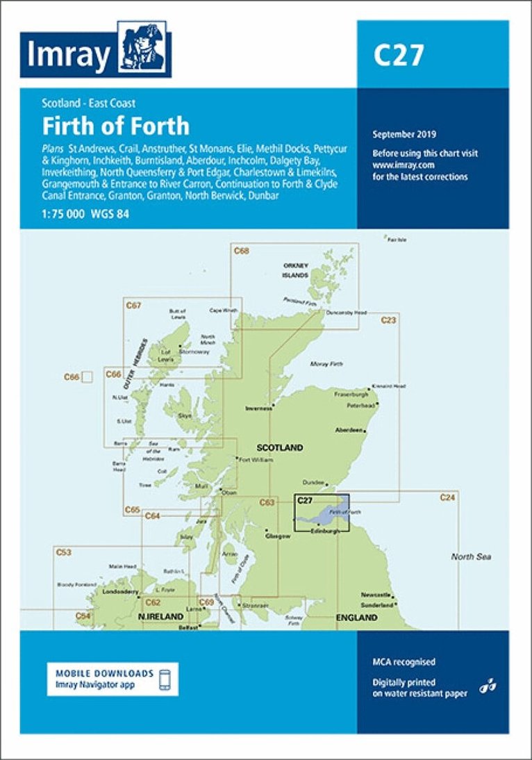
Plans included: St Andrews (1:7500) Crail (1:7500) Anstruther (1:7500) St Monans (1:7500) Elie (1:10 000) Methil Docks (1:11 000) Pettycur & Kinghorn (1:17 500) Inchkeith (1:25 000) Burntisland (1:20 000) Aberdour (1:12 500) Inchcolm (1:15 000) Dalgety Bay (1:15 000) Inverkeithing (1:15 000) North Queensferry & Port Edgar (1:20 000) Charlestown & Limekilns (1:15 000) Grangemouth & Entrance to River Carron (1:17 500) Continuation to Forth & Clyde Canal Entrance (1:17 500) Granton (1:12 500) Fisherrow (1:12 500) North Berwick (1:7500) Dunbar (1:7500) On this edition the chart specification has been improved to show coloured light flashes. Depths have been updated from the latest surveys where available. Additional tidal stream Digital has been added. There has been general updating throughout.
351 kr
Skickas
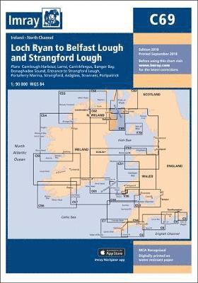
Plans included: Carnlough Harbour (sketch plan) Larne (1:18 500) Carrickfergus (1:15 000) Bangor Bay (1:17 500) Donaghadee Sound (1:25 000) Entrance to Strangford Lough (1:37 500) Portaferry Marina (1:7500) Strangford (1:5000) Ardglass (1:15 000) Stranraer (1:12 500) Portpatrick (1:6000) On this 2018 edition the chart specification has been improved to show coloured light flashes. Depths have been updated from the latest surveys. The Marine Nature Reserve in Strangford Lough is included. There has been general updating throughout.
Engelska, 2024
351 kr
Skickas
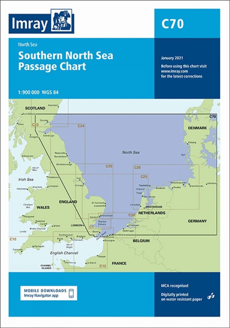
On this edition the chart specification has been improved to show coloured light flashes. The magnetic variation curves have been updated with 2020 Digital. Under new royalty terms, the DGA (Danish GeoDigital Agency) have made it unviable to reproduce their copyrighted Digital. All DGA Digital has been removed from this chart. There has been general updating throughout.
Engelska, 2024
351 kr
Skickas
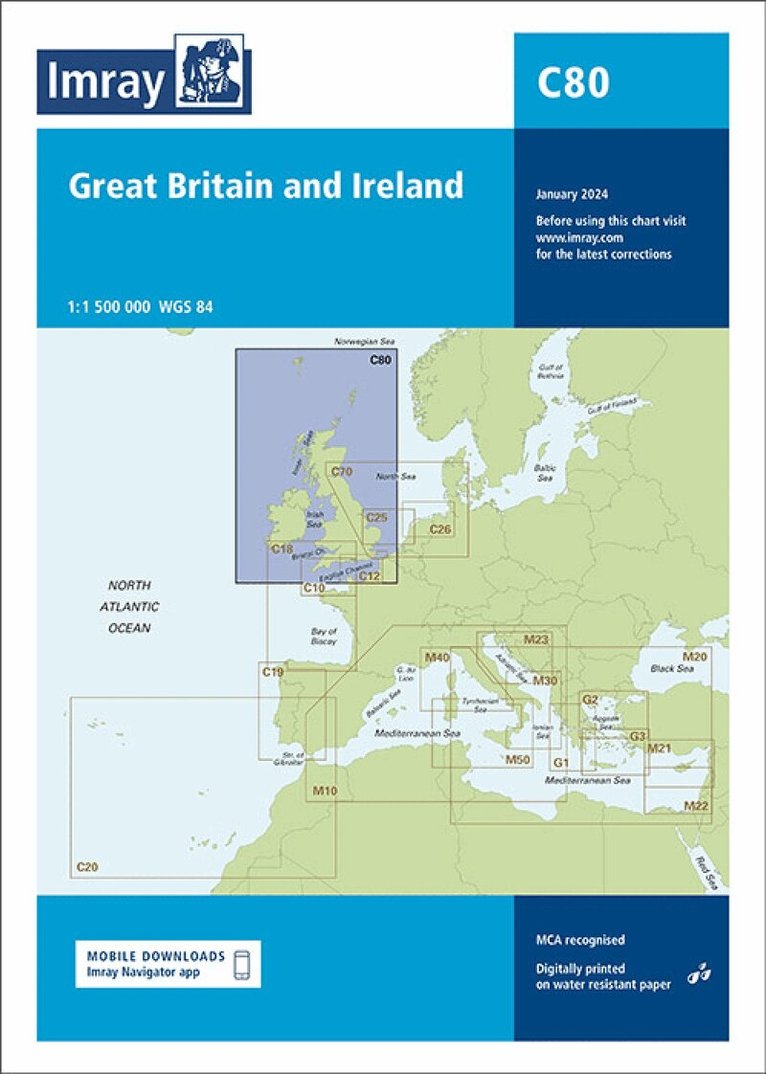
Handy for planning round-Britain circumnavigations, chart C80 British Isles provides an overview of Britain, Ireland and adjacent islands including Orkney and Shetland. On this edition the magnetic variation curves have been updated with 2020 Digital. There has been general updating throughout.
351 kr
Skickas
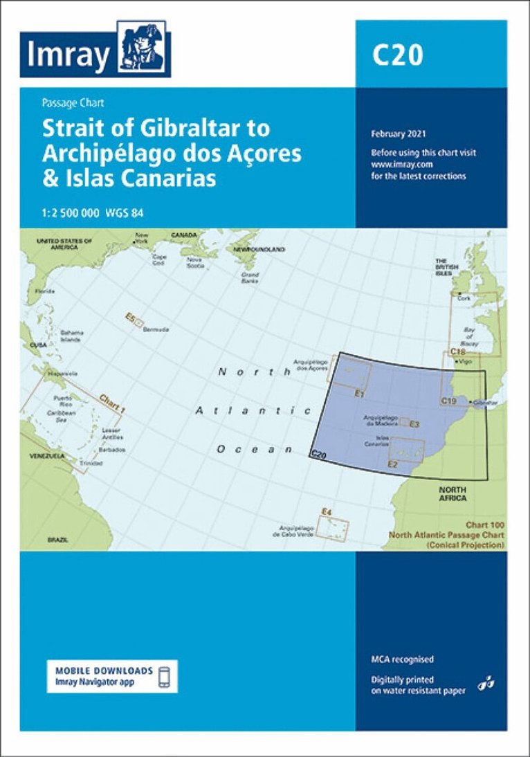
A passage chart designed for planning and navigating across the North Atlantic between Gibraltar, the Azores and the Canary Islands. Based on official Hydrographic Office Digital with additional information from across Imray's network, tailored to appropriate scales and level of Digital for leisure sailors. Imray's award-winning cartography includes a familiar, logical colour scheme, coloured light sectors and fine overprinted latitude and longitude grids to make plotting easier. On this edition the magnetic variation curves have been updated with the latest Digital. There has been general updating throughout.
Engelska, 2024
351 kr
Skickas
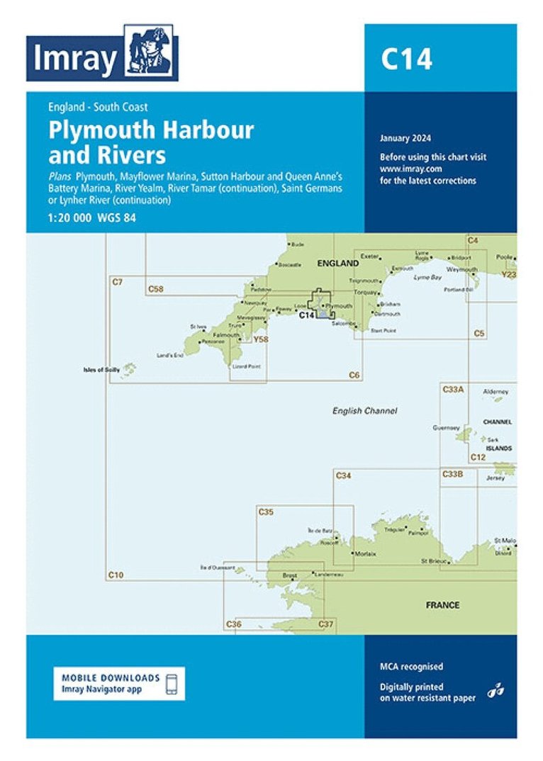
Plans included: Plymouth (1:12 500) Mayflower Marina (1:4500) Sutton Harbour and Queen Anne's Battery Marina (1:4500) River Yealm (1:12 500) Continuation of Saint Germans or Lynher River (1:20 000) Continuation of River Tamar (1:20 000) This edition includes the latest official Digital combined with additional information sourced from Imray's network to make it ideal for small craft. It includes the latest official bathymetric surveys. There has been general updating throughout.
Engelska, 2024
351 kr
Tillfälligt slut
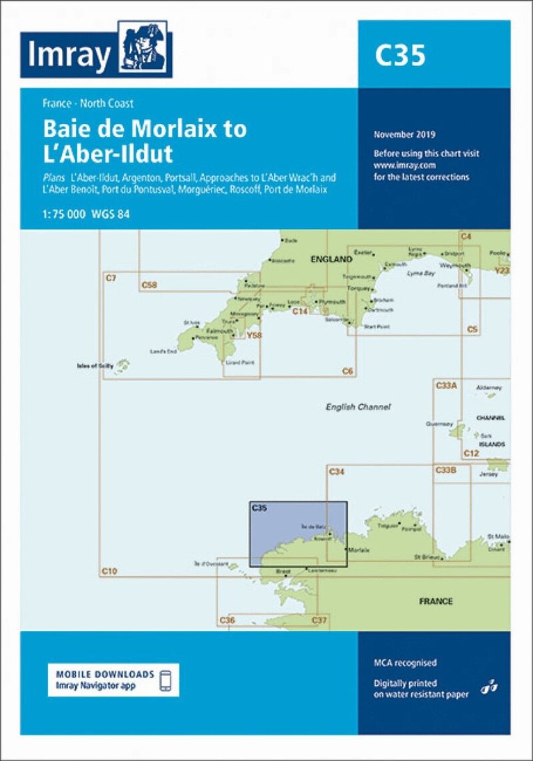
Plans included: L'Aber-Ildut (1:25 000) Argenton (1:25 000) Portsall (1:20 000) Approaches to L'Aber Wrac'h & L'Aber Benoît (1:30 000) Port du Pontusval (1:15 000) Moguériec (1:32 000) Roscoff (1:20 000) Port de Morlaix (1:15 000) On this edition the chart specification has been improved to show coloured light flashes. Updated depth surveys have been included where applicable. The harbour plans of L'Aber-Ildut and Argenton are now drawn at a scale of 1:25 000. The plan showing the approaches to Roscoff has been extended east to include better approach coverage to Bloscon Marina. There has been general updating throughout.
Engelska, 2023
345 kr
Tillfälligt slut
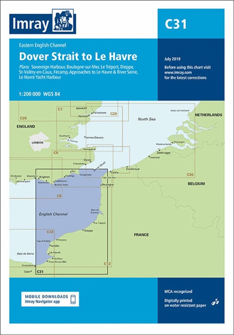
Plans included: Sovereign Harbour (1:20 000) Boulogne-sur-Mer (1:25 000) Le Tréport (1:17 500) Dieppe (1:17 500) St-Valéry-en-Caux (1:12 500) Fécamp (1:15 000) Approaches to Le Havre & River Seine (1:100 000) Le Havre Yacht Harbour (1:10 000) On this edition the chart specification has been improved to show coloured light flashes. Depths have been updated from the latest available surveys. The firing practice areas and marine reserves have also been updated. There has been general updating throughout.