
freytag & berndt Autoatlanten – serie
Visar alla böcker i serien freytag & berndt Autoatlanten. Handla med fri frakt och snabb leverans.
14 produkter
14 produkter
Engelska, 2024
355 kr
Skickas inom 3-6 vardagar
The Norway road atlas 1:250,000 - 1:400,000 is the ideal companion for anyone who is travelling by car in Norway and does not want to just use the main roads. It is ideal for planning and also proves to be an indispensable guide during the trip. The detailed map image and the precise scale also allow you to discover less busy side roads that are usually not shown on overview maps. Scenic routes are highlighted in color. Information on the Norway road atlas Norway 1:250,000 - 1:400,000 Spiral binding concealed Camping and pitches Tourist information Place register with postcodes Format 23 x 29,7 cm The best road atlas for Norway Norway's dense road network is depicted precisely, scenic stretches and tourist routes are highlighted in color and many excursion destinations are marked on the map. Car and motorcycle drivers particularly appreciate freytag & berndt's precise cartography for planning and orientation on site. To ensure that the trip can be planned well with a motorhome, caravan or camper, all campsites and parking spaces are marked in the atlas. Concealed spiral binding The Norway road atlas is particularly comfortable to use as it can be easily opened thanks to the spiral binding. The desired page remains open even while driving. City center maps With the included city maps you can easily find your way around these cities: Bodø, Bergen, Hammerfest, Kristiansand, Narvik, Stavanger, Oslo, Trondheim.
Häftad, Engelska, 2024
478 kr
Skickas inom 3-6 vardagar
The Travel Atlas Iceland 1:150,000 is the ideal companion for anyone who wants to explore Iceland by car or public transport. The road atlas can not only be used for planning, but also proves to be an indispensable guide during the journey. Features : - Road Atlas - Information for Tourists - Scenic Routes - City Centre Maps - Camping Sites
Häftad, Engelska, 2025
201 kr
Skickas inom 3-6 vardagar
Car and motorcycle drivers particularly appreciate freytag & berndt's precise cartography for planning and orientation on the road. Caravan and campervan owners will, of course, find all campsites and pitches in this Austrian road atlas. Information about the Austrian road atlas: -Scale 1:200,000 -Extended map section -Tourist information -Local directory with postal codes -Planning map of Europe 1:3.5 million. -City center maps with street index of Bregenz, Eisenstadt, Graz, Innsbruck, Klagenfurt, Linz, Salzburg, St. Pölten and Vienna.
Engelska, 2022
270 kr
Skickas inom 3-6 vardagar
In addition to the clear design, the practical car atlas Austria 1:150,000 offers a lot of additional information such as sights, campsites and lots of city maps. Motorists and motorcyclists will appreciate the precise cartography from freytag & berndt, especially for on-site planning and orientation. Caravan drivers and campers will find all campsites and parking spaces in this road atlas for Austria. All contact information is listed in a separate directory. Information on the Austrian road atlas Scale 1:150,000 Hidden spiral binding Tourist information Camping sites and pitches Register of places with postcodes 63 downtown plans
Inbunden, Engelska, 2024
328 kr
Skickas inom 3-6 vardagar
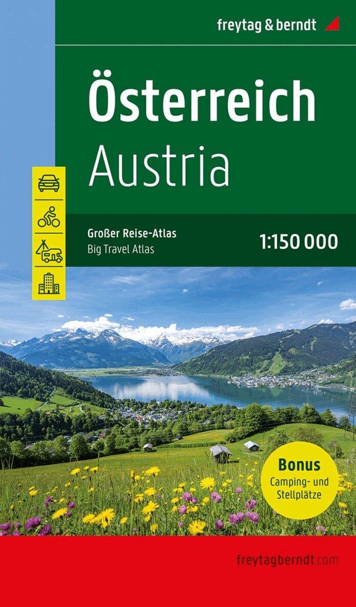
In addition to the detailed 1:150,000 car map, the Great Travel Atlas of Austria offers its own maps for the areas around Munich, Brno, Bozen, Budweis and the Drautal. This expanded edition also describes 100 leisure destinations worth seeing, offers a directory of all campsites and parking spaces and provides brief information on 14 cycle routes, including the Danube cycle path and Tauern cycle path. Car and leisure map Austria 1:150,000 Camping & parking spaces 100 leisure destinations Cycle paths Planning map Austria Car map Europe 1:3.5 million Place register City maps of the state capitals German / English
Häftad, Engelska, 2025
363 kr
Skickas inom 3-6 vardagar
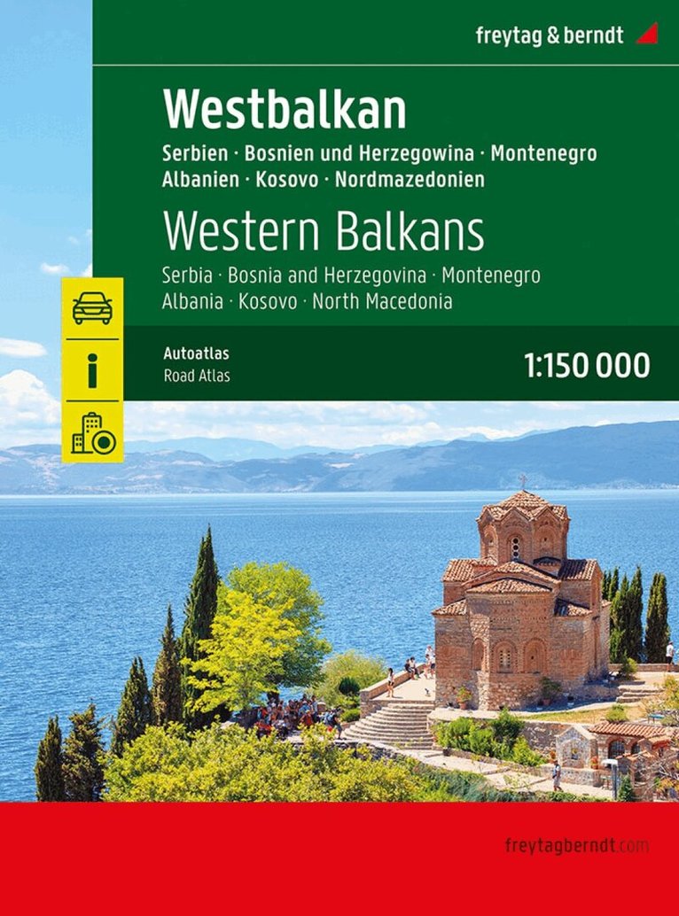
The Western Balkans road atlas 1:150,000 is the ideal companion for anyone who travels by car and does not want to use only the main roads and motorways. It is ideal for planning and also proves to be an indispensable orientation aid during the trip. The detailed map image and the precise scale also allow you to discover less busy side roads that are usually not shown on overview maps. Scenic routes are highlighted in color. Excellent map details and additional information Serbia - Bosnia and Herzegovina - Montenegro - Albania - Kosovo - North Macedonia 1:150,000 Planning map Balkan 1:1,000,000 and Europe 1:3,500,000 spiral binding concealed Camping and pitches, tourist information Eight city maps, including Sarajevo, Tirana and Belgrade place register with postal codes 320 pages, format 23 x 29.7 cm The ideal road atlas for the Western Balkans The dense road network is precisely depicted, scenic stretches and tourist routes are highlighted in color and many excursion destinations are marked on the map. Car and motorcycle drivers particularly appreciate the precise cartography from freytag & berndt for planning and orientation on site. To ensure that the trip can also be planned well with a motorhome, caravan or camper, all camping and parking spaces are marked in the atlas. User-friendly equipment Practical spiral binding: Allows easy browsing and keeps the desired page open ? ideal for on the go. 320 pages in a generous format (23 x 29.7 cm): Easy to read and clear presentation. Printed in Austria

Häftad, Engelska, 2025
444 kr
Skickas inom 3-6 vardagar
The road atlas "Atlas of the Alps 1: 150,000" is the ideal companion for everyone who is traveling by car in the Alps and does not only want to use motorways and expressways. With the detailed map image and the exact scale, it is also possible to discover secondary roads and routes that are not shown on overview maps. Scenic routes are specially highlighted.All campsites and parking spaces have been marked for campers and caravan enthusiasts.Thematically, the coverage follows the entire Alpine arc from Marseille in the west to Bratislava in the east. Austria and Switzerland are completely covered, all neighboring countries as far as the Alps reach.Details: location register, city maps, camping and parking space information, planning map Europe 1: 3.5 million
Häftad, Engelska, 2025
235 kr
Skickas inom 3-6 vardagar
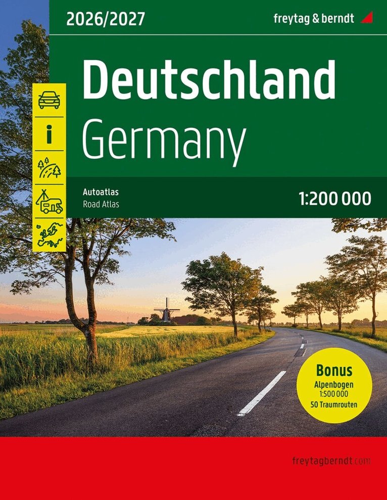
The Road Atlas of Germany 1:200,000, 2026/2027 is the ideal companion for anyone traveling in Germany by car who wants to use more than just the autobahn. It's ideal for planning and also proves to be an indispensable guide during the trip. The detailed map and precise scale allow you to discover less-traveled side roads that are usually not shown on overview maps. Scenic routes are highlighted in color. The 'Dream Routes' chapter describes 50 of Germany's most beautiful routes over 20 pages. Information on the Road Atlas Germany 2026/2027 Germany 1:200,000 Alpine arc 1:500,000 Europe 1:3.5 million Spiral binding concealed 50 theme and holiday routes Camping and pitches Reduced index (full index available online) 312 pages, format 23 x 29.7cm The best road atlas for Germany. The dense road network is accurately depicted, scenic routes and tourist routes are highlighted in color, and many destinations are marked on the map. Car and motorcycle drivers particularly appreciate freytag & berndt's precise cartography for planning and orientation on the ground. To ensure easy planning of trips with a motorhome, caravan, or camper, all campsites and parking areas are marked in the atlas. 50 Dream Routes: 'Get away from everyday life, slow down, and enjoy the scenery' was the motto behind the selection of the 50 themed and holiday routes described. They are spread throughout Germany and, with their different thematic focuses, reflect the diversity of the country.
Häftad, Engelska, 2025
296 kr
Skickas inom 3-6 vardagar
- Nyhet
Häftad, Engelska, 2026
444 kr
Skickas inom 3-6 vardagar
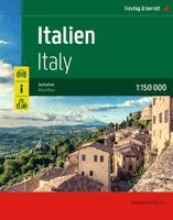
The Italy road atlas 1:150,000 is the perfect companion for all holidaymakers who want to discover Italy by car and experience the Dolce Vita beyond the motorway. It is ideal for planning and proves to be an indispensable orientation aid during the journey.Information on the Italian road atlasScale 1:150,000concealed spiral bindingTourist informationLocal directory with postal codesCamping and pitches24 city center maps528 pages, format 23.5 x 29.7 cmThe ideal road atlas for ItalyConcealed spiral bindingCity center plans
Häftad, Engelska, 2026
353 kr
Skickas inom 3-6 vardagar
Häftad, Tyska, 2026
296 kr
Skickas inom 3-6 vardagar
- Nyhet
Häftad, Tjeckiska, 2026
363 kr
Skickas inom 3-6 vardagar
- Nyhet
Häftad, Tjeckiska, 2026
444 kr
Skickas inom 3-6 vardagar