
Leporello Wanderkarte – serie
Visar alla böcker i serien Leporello Wanderkarte. Handla med fri frakt och snabb leverans.
20 produkter
20 produkter

Engelska, 2019
212 kr
Skickas inom 3-6 vardagar
The Eifelsteig hiking map is dedicated to the hiking trail from Aachen to Trier. According to the motto 'Where rock and water accompany you', a route was chosen that leads in a varied and natural way from north to south through the charming low mountain range landscape of the Eifel. The fifteen stages described above are presented in leporello style, inserted texts and photos provide an insight into nature and cities: Aachen, Monschau, the Hohes Venn - Eifel National Park, the Urfttalsperre, Maare near Daun and Tier are part of the Eifelsteig hiking map.
Engelska, 2017
177 kr
Skickas inom 3-6 vardagar
The Harzer-Hexen-Stieg hiking map is an ideal companion for hikers who choose the Harzer-Hexen-Stieg as their hiking trail. The practical leporello style makes it possible to hike the popular hiking trail in individual sections. In addition to the main route, the Brocken bypass via Braunlage and the southern route around the Rappbode dam are also shown. The symbol of the little witch on a green background marks the Harzer-Hexen-Stieg, which crosses the Harz from west to east from Osterode to Thale. One of the highlights is climbing the Brocken, which can also be bypassed to the south. Either way: Great views of the Harz National Park await hikers.
Engelska, 2019
201 kr
Skickas inom 3-6 vardagar
The Hermannsweg, which runs along the crest of the Teutoburg Forest, starts at the Emsauen near Rheine and ends at the Lippische Velmerstot (441 m above sea level) near Leopoldstal. The path owes its name to the Germanic leader Hermann the Cherusker, who in 9 AD. defeated the Romans in battle. For a long time it was assumed that the location of the battle was in the Teutoburg Forest. Numerous sights await hikers along the route: the Dörenther cliffs near Ibbenbüren, the castles of Tecklenburg and Ravensburg, and last but not least the Hermann Monument and the Externsteine ??near Detmold. Corresponding information is incorporated into the cartography of the Leporello hiking map Hermannsweg.
212 kr
Skickas inom 3-6 vardagar
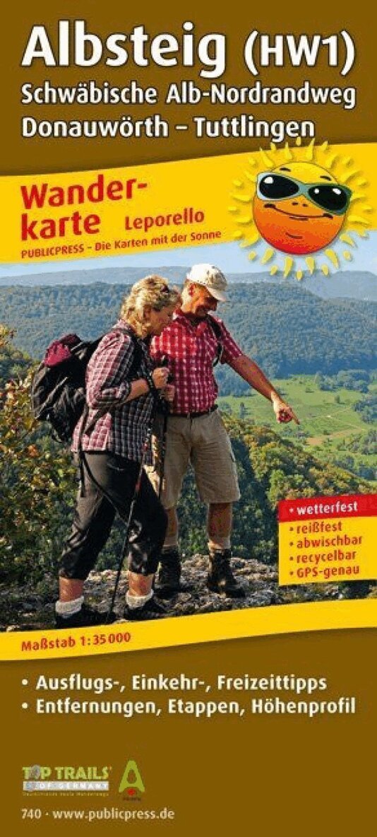
Water is the defining element of the hike on the Albsteig: The 83 km long hiking trail accompanies the southern Black Forest Alb from its confluence with the Rhine near Albbruck to its source at Feldberg and Herzogenhorn. The demanding tour leads through the uniquely beautiful, wildly romantic landscape along the mountain river with gurgling streams, rushing waterfalls, shady forests and meandering streams and steep gorges. It overcomes more than 2,700 meters in altitude, but rewards the effort with breathtaking views from the highest peaks, unique nature experiences and a varied landscape.
Engelska, 2017
201 kr
Skickas inom 3-6 vardagar
The Westweg Black Forest hiking map presents the 278 km long hiking trail of the same name between Pforzheim and Basel. Designed in a practical leporello style, it offers an overview on the first few pages: The awards with the seal of quality 'Wanderbares Deutschland Quality Trail' and 'Top Trail of Germany' indicate natural subsoil, varied landscape and hiker-friendly gastronomy. The leporello fold of the Westweg Schwarzwald hiking map divides the high-altitude trail through the Black Forest, which requires physical condition, into small stages.
Engelska, 2017
212 kr
Skickas inom 3-6 vardagar
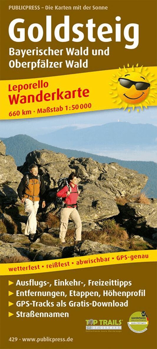
Hiking map The Goldsteig hiking map describes the hiking trail from Marktredwitz to Passau, which follows the traces of an old trade route on which 'white gold' (salt) was transported. She gave her name to the trail. Two variants of the route that are offered to hikers from Thanstein are attractive: The northern variant leads along the border with the Czech Republic to Passau; the southern variant crosses the Bavarian Forest in somewhat flatter areas. In the information section, hikers can find out which sights await hikers on their tour.
Engelska, 2019
212 kr
Skickas inom 3-6 vardagar
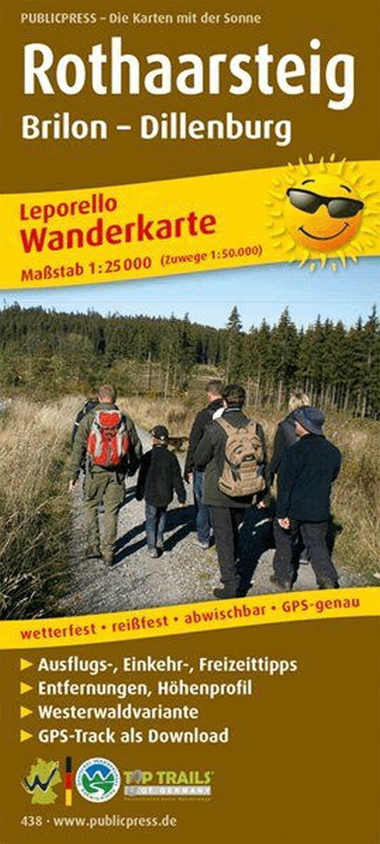
The hiking map presents the hiking trail of the same name, which leads over the crest of the Rothaargebirge from Brilon to Dillenburg. It connects the Westerwald, the Wittgensteiner Land, the Siegerland and the Sauerland. The leporello fold makes it possible to view the route in individual manageable sections; Highlights such as the Bruchhauser Steine, the Kahle Asten or Bad Berleburg Castle are presented with images and text between the map sections. The last pages of the Rothaarsteig hiking map also provide information about the Westerwald variant.
Engelska, 2018
177 kr
Skickas inom 3-6 vardagar
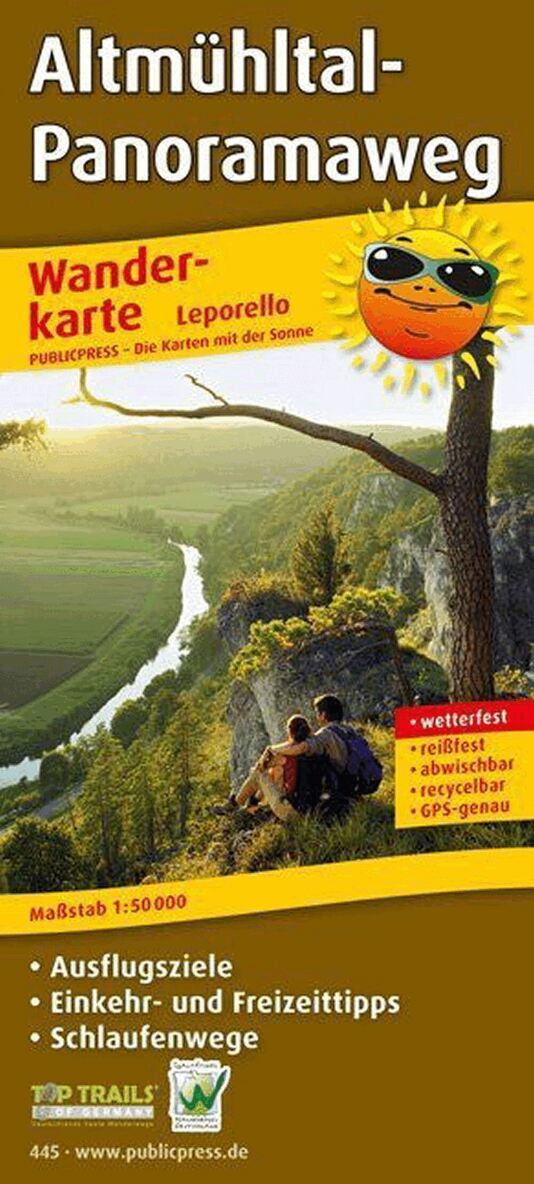
The hiking map Altmühltal-Panoramaweg is dedicated to the quality trail of the same name from Altmühlsee to Kelheim. In 2012, this path was voted Germany's most beautiful hiking trail by the jury of the trade journal 'Wandermagazin'. The route follows the Altmühl through a varied landscape: beech forests, bizarre rocks and wide Jura mountains determine the landscape. Looped paths that, designed as circular paths, always lead back to the actual hiking trail lead to special sights. The leporello fold allows the route to be broken down into twenty-one sections with additional information about the region.
Engelska, 2019
177 kr
Skickas inom 3-6 vardagar
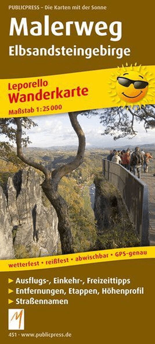
One of Germany's most popular hiking stages is in the Elbe Sandstone Mountains in Saxon Switzerland. The eighteen km long section between the Lichtenhain waterfall and Schmilka is considered the king's stage - a stretch that has enjoyed tourist fame for two hundred years and that fascinated artists of the Romantic period, including Caspar David Friedrich. The hiking map Malerweg presents the hiking trail of the same name in a leporello design, which leads through the Elbe Sandstone Mountains. The starting point is Liebethal on the right bank of the Elbe, after sixty-eight kilometers the Elbe is crossed and the Malerweg continues on the left bank of the Elbe via Königstein to the destination of Pirna. In the information section of the Malerweg map, the entire route is divided into eight stages in order to enjoy the unique rocky landscape in the Saxon Switzerland National Park.

Engelska, 2016
177 kr
Skickas inom 3-6 vardagar
The hiking map describes the second part of the premium hiking trail from Lahnstein near Koblenz to Wiesbaden in leporello format. The 172.5 km run close to nature along the right bank of the Rhine; also on narrow paths in adjacent forests and vineyards through the Middle Rhine and Rheingau regions. The illustrated information blocks that are inserted between the map sections tell you which other sights besides the Loreley lure along this path.
189 kr
Skickas inom 3-6 vardagar
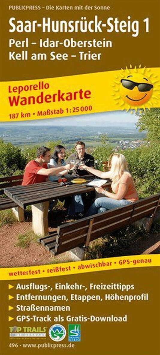
The hiking map Saar-Hunsrück-Steig 1 (Perl - Idar-Oberstein - Kell am See - Trier) in leporello format provides information with maps, text and photos about the first part of the hiking trail from Perl to Idar-Oberstein. A branch leads to Trier. Space to discover, time to relax, landscapes to enjoy: Between Perl, Mettlach, Weiskirchen, Trier, Hermeskeil, Morbach and Idar-Oberstein, the Saar-Hunsrück-Steig offers pure perspective variety with numerous impressions and possibilities across a wonderful low mountain range. These include extensive forests, lush meadows, idyllic bubbling streams, spectacular mountain ranges, steep vineyards, historical monuments and always varied paths with inspiring panoramas, fascinating natural monuments and quiet moments.

Engelska, 2016
201 kr
Skickas inom 3-6 vardagar
The almost 200 km long RheinBurgenWeg invites you to an exciting and at the same time contemplative journey into the past. The path surprises the hiker with a fabulously beautiful cultural landscape. From the Rolandseck near Remagen to the Mouse Tower in Bingen, you hike through breathtakingly beautiful side valleys and over heights with great views. The view is always free for the numerous defiant castles and palaces along the way, which literally let history breathe. The path through the Rhenish slate mountains, touching the Ahr Valley, one of the northernmost wine-growing regions in Germany, the world's largest cold water geyser near Andernach and last but not least the UNESCO World Heritage Upper Middle Rhine Valley are impressive in terms of landscape.
Engelska, 2018
212 kr
Skickas inom 3-6 vardagar
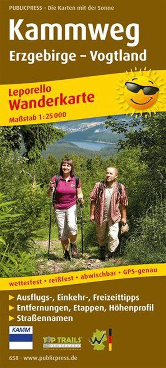
The ridge path from Altenberg-Geising in the Eastern Ore Mountains through the Vogtland to Blankenstein in Thuringia runs through three federal states, with excursions to the nearby Czech Republic. Based on the historic 'Blauer Kammweg', one of the oldest European hiking trails, it runs at the highest level in every respect, not just in terms of its award as a quality hiking trail. The path leads over the ridges of the Ore Mountains with its highest elevations such as 1019 m above sea level. NN high Auersberg. Most of the hikes take place through idyllic and untouched nature. Visitor mines along the route bear witness to the long mining tradition in the Ore Mountains. Museums, palaces, castles and ruins bring the journey into the past to life.
Engelska, 2016
177 kr
Skickas inom 3-6 vardagar
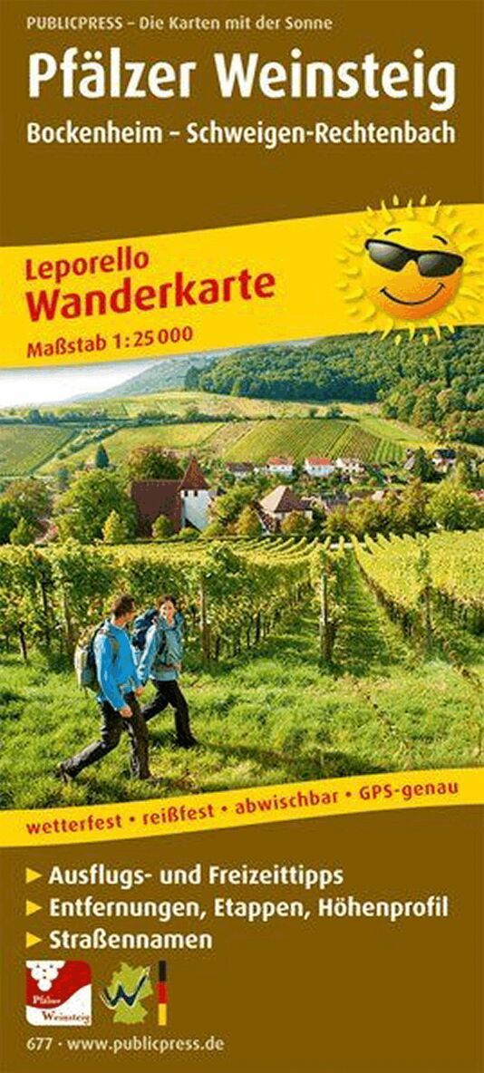
The Weinsteig runs on dreamy paths alternately through entertaining forest passages and through the sun-drenched sea of vines of the Palatinate vineyards. A path from Grünstadt takes you to the starting point of the route in the castle courtyard of the picturesque village of Neuleiningen. Passing witnesses of geological and cultural history, such as the lightning tubes near Battenberg or the Roman 'Kriemhildenstuhl' quarry, it goes to the spa town of Bad Dürkheim, where the world's largest wine barrel or the Limburg ruins invite you to visit. Other highlights are the natural monument Felsenmeer and the Villa Ludwigshöhe and again and again the most beautiful views of the Palatinate Forest and the Rhine plain. The Trifelsland inspires with eight promising ruins and castles as well as imposing sandstone massifs, which are in the immediate vicinity of the route.
Engelska, 2015
189 kr
Skickas inom 3-6 vardagar
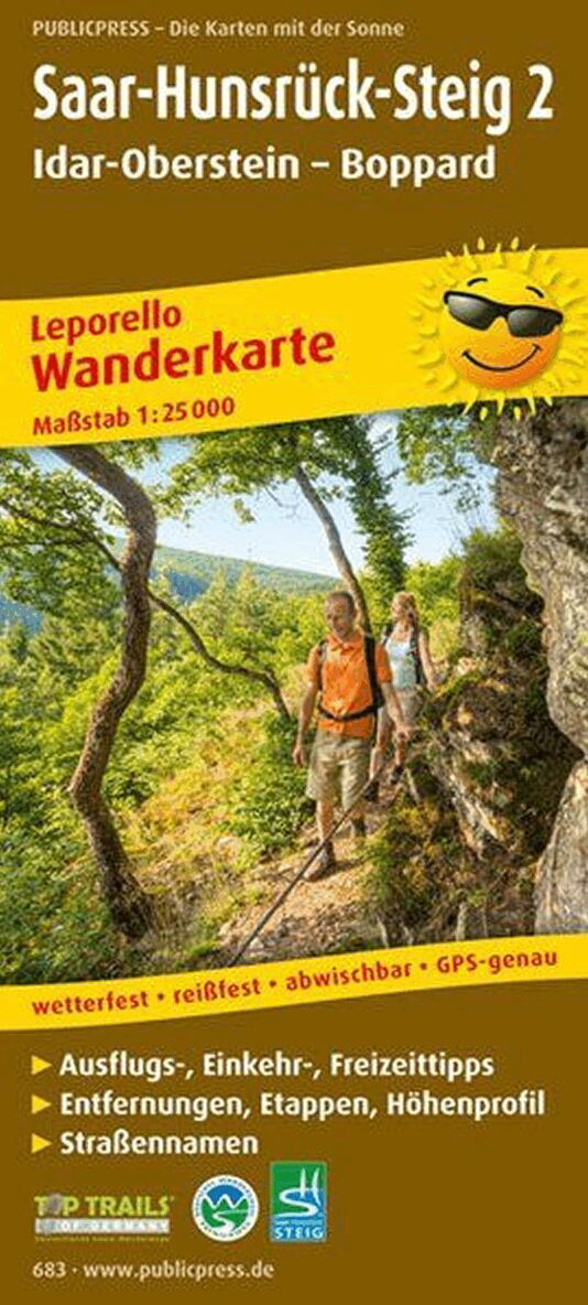
Space to discover, time to relax, landscapes to enjoy: From Perl/Schengen on the Moselle via Saar and Hunsrück to Boppard in the Middle Rhine Valley World Heritage Site, the Saar-Hunsrück Climb offers pure perspective variety with numerous impressions and possibilities. The extension of the popular hiking trail from Idar-Oberstein to Boppard also inspires hikers with a variety of paths in unique nature, breathtaking views of the Hunsrück, Eifel and Middle Rhine Valley, as well as repeated opportunities for flying visits to the dream loops. Fixed pick-up points along the stages simplify the hike. On the sometimes demanding passages, sure-footedness is often just as important as a head for heights, but this is rewarded with a unique experience of nature.
Engelska, 2019
177 kr
Skickas inom 3-6 vardagar
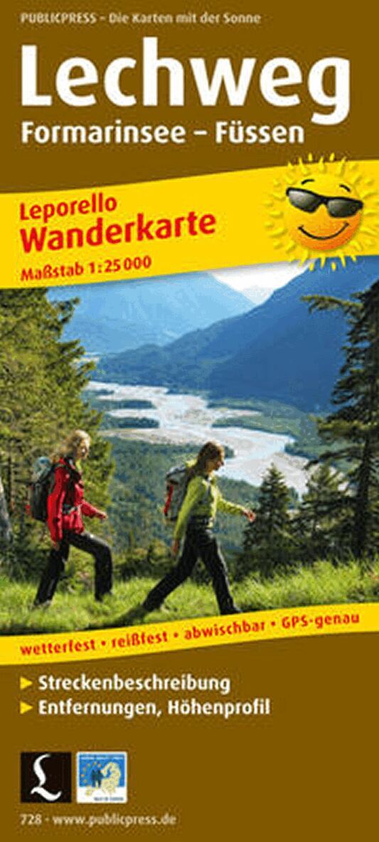
Lechweg Hike from the source to the fall. The Lechweg accompanies the river from its source to the Lechfall near Füssen and offers easy long-distance hiking through an Alpine region that is also one of the last wild river landscapes in Europe. Three regions and two countries shaped by the Lech are crossed. You hike past one of the largest ibex colonies in Europe, a waterfall that magically dries up every year and springs up again, over Austria's longest pedestrian suspension bridge to the fairytale castles of Neuschwanstein and Hohenschwangau.
Engelska, 2014
177 kr
Skickas inom 3-6 vardagar
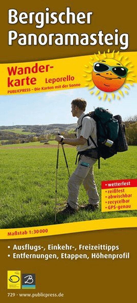
Culture and nature with a view The Bergisches Panoramasteig leads in a large loop over a length of approx. 244 km in 12 stages through the open, Bergisch cultural landscape. Almost at every step you have impressive distant views and interesting prospects. The circular route runs entirely in the Bergisches Land nature park through river valleys and impressive mixed forests, past lush meadows and dams. On the way you will also come across the Bergisches Freilichtmuseum Lindlar, Homburg Castle in Nümbrecht, stalactite caves, the monkey and bird park in Reichshof, the treetop path 'Panarbora' in Waldbröl and many other traces of cultural history.

Engelska, 2013
177 kr
Skickas inom 3-6 vardagar
Hiking leporello Bergischer Weg: From the Ruhr area through the Bergisches Land to the Siebengebirge Hills and mountains, forests, wide meadows and idyllic valleys with rivers and gurgling brooks characterize the cultural landscape through which the Bergischer Weg leads. In 13 stages you hike 262 km past important places of cultural history, through villages with half-timbered and slate houses, the Neandertal and the natural idyll of the nature park. The sights along the way extend from Lake Baldeney in Essen to Burg Castle in Solingen, the Müngsten Bridge Park, the Altenberg Cathedral in Odenthal and the Drachenfels in Königswinter. This is how culture and nature combine to form a unique mixture.
212 kr
Skickas inom 3-6 vardagar
36 map pages of 20 x 18 cm each, 13 editorial pages

Engelska, 2015
177 kr
Skickas inom 3-6 vardagar
On the 242 km FrankenwaldSteig you can explore the Franconian Forest in all its diversity. The rustling of the leaves in the wind, the gentle awakening of nature in the morning dew. All these facets of the forest can be hiked on a morning stage on the FrankenwaldSteig. The secrets of the Franconian Forest are revealed on this tour around the Franconian Forest. You learn interesting things about the 'Blue Gold', see Germany's largest completely preserved fortress, the 'Rosenberg Fortress', and spend the night in the 'secret capital of beer'. But you can also look behind the facades of rustic villages and cozy inns and get to know the uncomplicated life in the Franconian Forest.