
Motorradkarte/MK – serie
Visar alla böcker i serien Motorradkarte/MK. Handla med fri frakt och snabb leverans.
15 produkter
15 produkter
162 kr
Skickas inom 3-6 vardagar
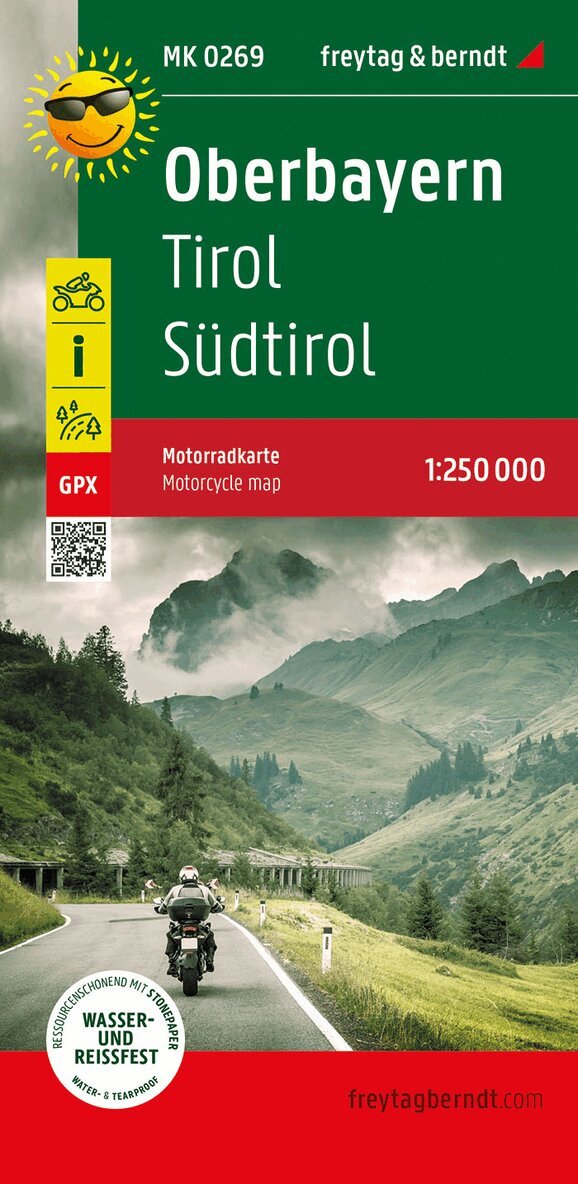
The motorbike map of Upper Bavaria shows the area from Ammersee in Bavaria to Bolzano in Italy. The road map is designed for the planning and implementation of extensive motorcycle tours and offers easy-to-read and up-to-date cartography. 13 varied tours have been specially selected by bikers for bikers. The routes are drawn directly on the map - so look forward to scenic routes and little traffic on winding roads. The tours and numerous sights along the route are described on the back of the map. Information on the motorbike map of Upper Bavaria Scale: 1:250,000 tour information Scenic routes 61x90 cm GPX tracks Waterproof and tear resistant Churches, monasteries and lakes characterize Upper Bavaria : the motorbike tours lead from the fairytale castle of Neuschwanstein to the Bavarian lakes, along waterfalls, through shady forests and over open roads. The tours through the Tyrolean mountains and Suditol offer breathtaking views of a unique mountain landscape. Many peaks are climbed in numerous hairpin bends, and viewpoints invite you to take a break along the way. Waterproof and tear-resistant The map is printed on a special waterproof and durable paper so that it can also be used for orientation on rainy days. Resource-saving production The map consists of 80% ground limestone. The production is much more resource-saving than with conventional paper because the consumption of water, wood and energy is significantly lower.
Engelska, 2022
162 kr
Skickas inom 3-6 vardagar
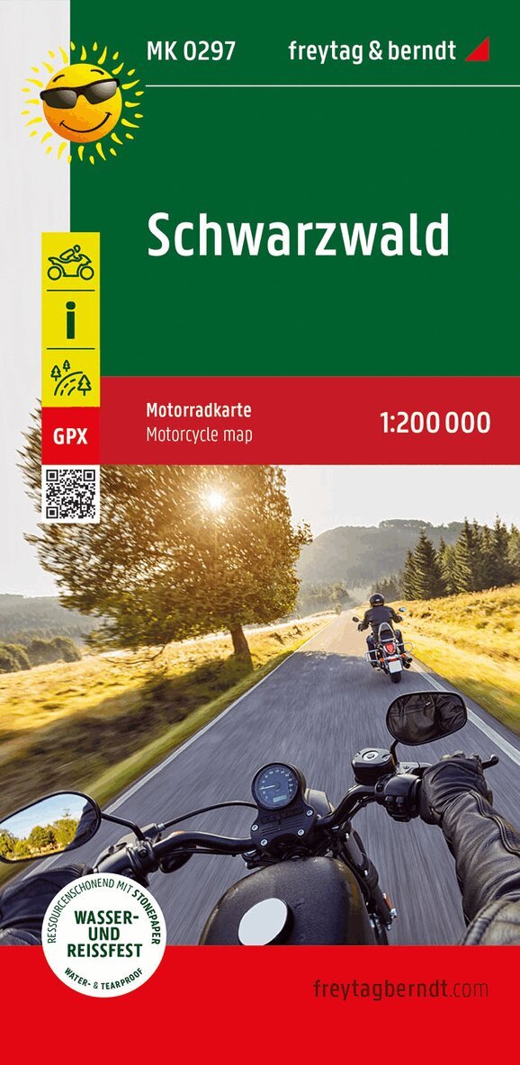
The motorcycle map describes and marks six tours in one of the most beautiful low mountain ranges in Germany between the Rhine and the Swabian Jura. The Black Forest is a particularly suitable region for bikers, as it offers winding routes with great vantage points, deep gorges and waterfalls. The recommended detours to Alsace, Lake Constance and Switzerland are also attractive. On the back of the map you can find out which intermediate stops and accommodations are currently available for bikers.
162 kr
Skickas inom 3-6 vardagar
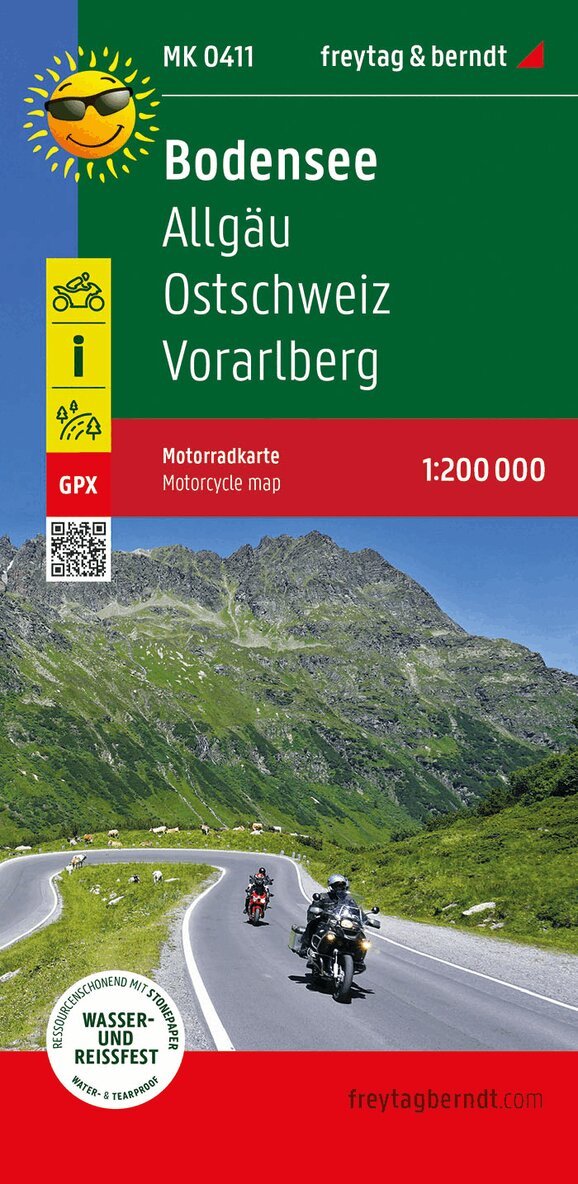
The motorbike map of Lake Constance makes bikers' hearts beat faster. The road map is designed for the planning and implementation of extended motorcycle tours and impresses with its easy-to-read and detailed cartography. Six tour suggestions offer demanding excursions through the attractive landscape around the 'Swabian Sea'. The starting points are cities on the shores of Lake Constance. Cross-border routes lead through Switzerland to Winterthur, to the Appenzell region or to Vorarlberg in Austria. The winding pass roads offer fantastic views of Lake Constance. The routes are marked directly on the map. The tours and numerous sights along the route are described on the back of the map and you can find out which intermediate stops are worthwhile. Information on the motorbike map of Lake Constance Scale: 1:200,000 1,550 km of marked motorcycle tours Bikertreffs tour information Scenic routes 61 x 90 cm GPX Tracks Waterproof and tear resistant On Lake Constance itself, cities such as Constance, Friedrichshafen, Lindau and Bregenz invite you to visit with their numerous sights. The volcanic and castle region of the Hegau offers attractive views and the Allgau with the towns of Weingarten, Ravensburg and Kempten is also worth a visit. Waterproof and tear-resistant The map is printed on a special waterproof and durable paper so that it can also be used for orientation on rainy days. Resource-saving production The map consists of 80% ground limestone. The production is much more resource-saving than with conventional paper because the consumption of water, wood and energy is significantly lower.
Engelska, 2022
163 kr
Skickas inom 3-6 vardagar
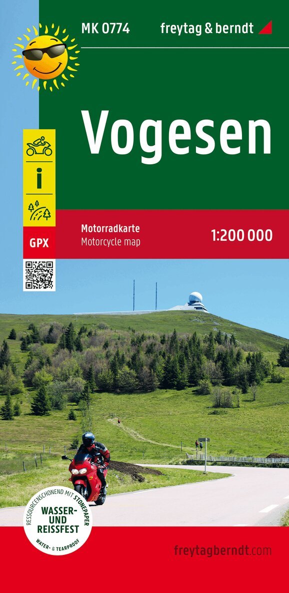
The Vosges are a wonderful motorcycling area in a unique landscape. Spiked with fantastic curves, the tours developed by motorcyclists meander through the eastern French low mountain range and combine driving pleasure with interesting sights, nature and culture. The panoramic roads, museums and endless landscapes offer pure enjoyment with the French way of life.
Engelska, 2022
162 kr
Skickas inom 3-6 vardagar
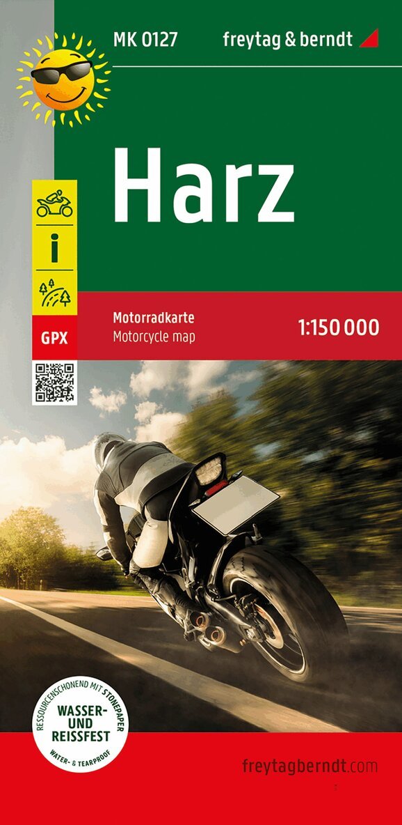
The Harz motorcycle map makes bikers' hearts beat faster. The road map is designed for the planning and implementation of extended motorcycle tours and impresses with its easy-to-read and detailed cartography. The Harz motorcycle map is particularly suitable for experienced motorcyclists, because the winding routes through Germany's northernmost mountains are sometimes demanding. Six tours, including around the Brocken (1,142 m), ensure varied driving fun. Excursion tips round off the information section of the Harz motorcycle map with references to towns and their sights as well as biker meeting places. The routes are marked directly on the map. The tours and numerous sights along the route are described on the back of the map and you can find out which intermediate stops are worthwhile. Information on the Harz motorcycle map Scale: 1:150,000 937 km of marked motorcycle tours biker hangouts tour information Scenic routes 61x90 cm GPX tracks Waterproof and tear resistant Among the outstanding sights in the Harz Mountains are of course the Brocken and a ride on one of the various narrow-gauge railways. The Hexentanzplatz near Thale, stalactite caves, visitor mines, the colorful town of Wernigerode and numerous health resorts form a large selection of other destinations Waterproof and tear-resistant The map is printed on a special waterproof and durable paper so that it can also be used for orientation on rainy days. Resource-saving production The map consists of 80% ground limestone. The production is much more resource-saving than with conventional paper because the consumption of water, wood and energy is significantly lower.
Engelska, 2022
162 kr
Skickas inom 3-6 vardagar
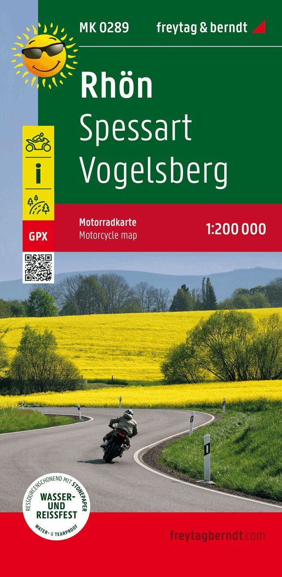
With the Rhon, the Spessart and the Vogelsberg, three scenic regions are waiting to be discovered. The tours lead up to the Wasserkuppe and over the typical unwooded mountain tops and through lovely valleys. In the footsteps of the Spessart robbers, you follow winding roads through one of the largest connected mixed forest areas in Europe. History comes alive when you visit historic cities such as Hanau and Gelnhausen. The tour on Europe's largest extinct volcano, the Vogelsberg, is fantastic. Gentle curves and idyllic villages make driving through the area an experience.
162 kr
Skickas inom 3-6 vardagar
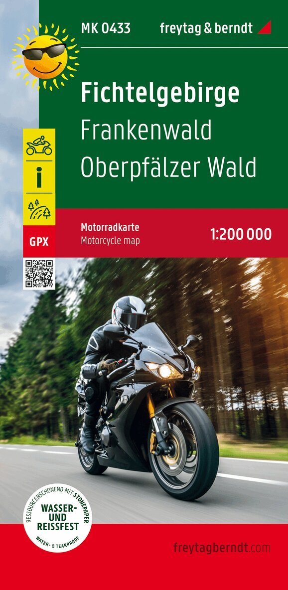
The Fichtelgebirge motorcycle map is specially designed for the planning and implementation of extended motorcycle tours and impresses with its easy-to-read and detailed cartography. It offers six tour suggestions for motorcyclists and briefly presents the most important sights along the route. You can easily join any tour and put together individual variants. Excursion tips round off the information section with references to cities and their sights as well as biker meet-ups. The routes are marked directly on the map. The motorcycle tours are described on the back of the map and you can find out which intermediate stops are worthwhile. Information on the Fichtelgebirge motorcycle map Scale: 1:200,000 1430 km of marked motorcycle tours biker hangouts tour information Scenic routes 68x90cm GPX tracks Waterproof and tear resistant The biker-friendly routes lead through towns and villages with many sights. The charming landscape of the Fichtelgebirge and the Upper Palatinate Forest offers bikers the opportunity to refresh themselves at a bathing lake or to enjoy Franconian cuisine in a beer garden in addition to the beautiful nature. Day trips to Nuremberg and the festival city of Bayreuth are just as worthwhile as a visit to our Czech neighbors. Waterproof and tear-resistant The map is printed on a special waterproof and durable paper so that it can also be used for orientation on rainy days. Resource-saving production The map consists of 80% ground limestone. The production is much more resource-saving than with conventional paper because the consumption of water, wood and energy is significantly lower.
Engelska, 2022
163 kr
Skickas inom 3-6 vardagar
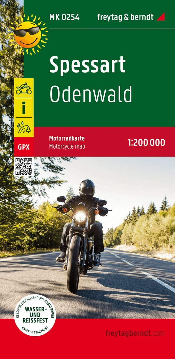
This motorcycle map makes 14 tour suggestions through the beautiful low mountain range landscapes of the Spessart and the Odenwald. Both regions inspire bikers with historic cities and towns. In the Spessart, you follow in the footsteps of the notorious robbers and in the Odenwald, a curve Eldorado along picturesque half-timbered towns awaits.
162 kr
Skickas inom 3-6 vardagar
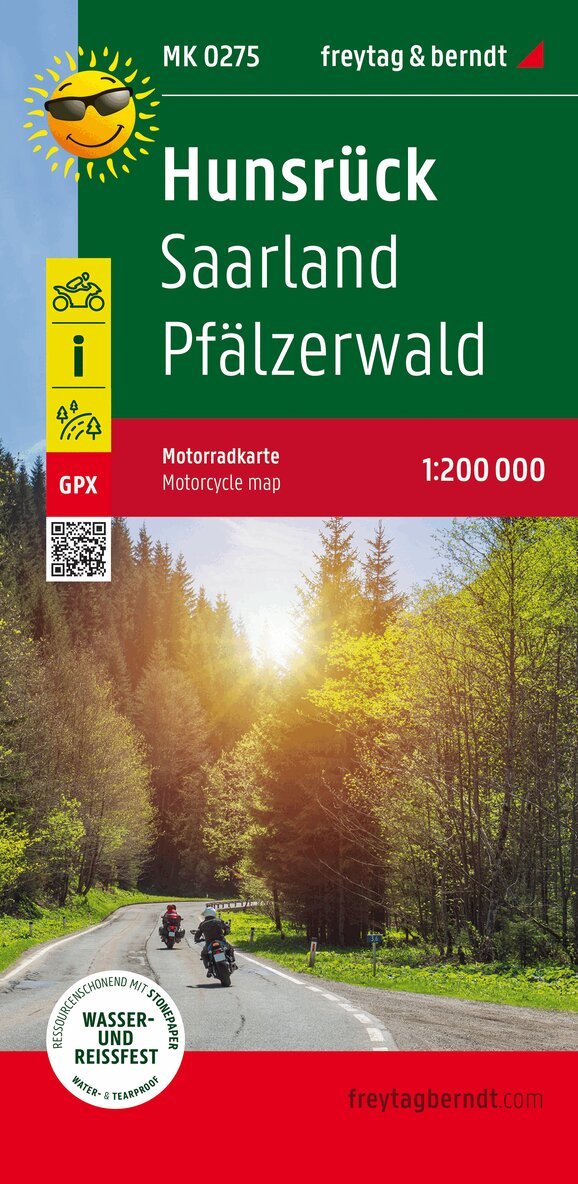
The motorcycle map offers 7 tours (146 - 200 km) through the Palatinate Forest and the Hunsruck. Dense forest areas with castles and palaces lure with winding roads. Detours to the Moselle are recommended, as well as great vantage points along the Saar. In addition to the tour description, there is information about cities such as Trier or Saarbrucken and smaller towns and biker hangouts. Excursion tips and advertisements about local restaurants help with the planning.
Engelska, 2025
162 kr
Skickas inom 3-6 vardagar
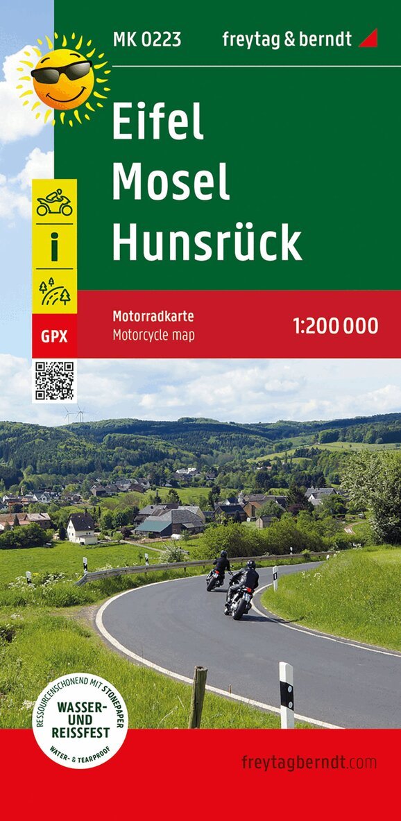
Seven varied routes, marked directly on the map, guarantee pure riding pleasure and invite you to unforgettable tours through the region. Information on the Eifel - Mosel - Hunsruck motorcycle map -Scale: 1:200,000 -1160 km of marked motorcycle tours -Biker meetups -Tour information -Scenic routes -GPX Tracks -Waterproof and tear-resistant The ideal motorcycle map for the Eifel region. The Eifel is a true paradise for motorcyclists: winding, quiet mountain roads snake through narrow valleys and up to scenic plateaus - perfect for unforgettable tours. A highlight is the legendary Nurburgring, around which a special biker route has been designed. All tour suggestions are complemented by excursion tips, sights, popular biker meeting points, and recommendations for restaurants and accommodations - clearly summarized on the back of the map. Waterproof and tear-resistant. To ensure the map can be used for orientation even on rainy days, it is printed on special waterproof and durable paper. Resource-efficient production: The map consists of 80% ground limestone. Its production is significantly more resource-efficient than that of conventional paper, as the consumption of water, wood, and energy is considerably lower.
Engelska, 2018
150 kr
Skickas inom 3-6 vardagar
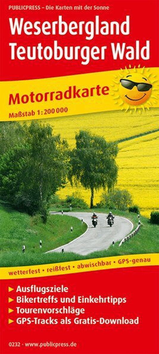
The tour suggestions on the motorbike map lead you along new paths through the Weserbergland and the Teutoburger Land. The Weserbergland presents itself with fairytale curves, along the Weser you can enjoy the wonderful river panorama and the Teutoburg Forest offers history to touch with the Hermannsdenkmal, the Externsteine ??or the Detmold open-air museum. Beautiful touring routes lead on partly lonely, narrow roads through extensive forests, gentle meadows and river valleys, over gentle hills and up to mountain ranges of up to 500 m above sea level. NN. Cities like Paderborn, Detmold, Höxter and Hamelin invite you to take a break.
Engelska, 2019
150 kr
Skickas inom 3-6 vardagar
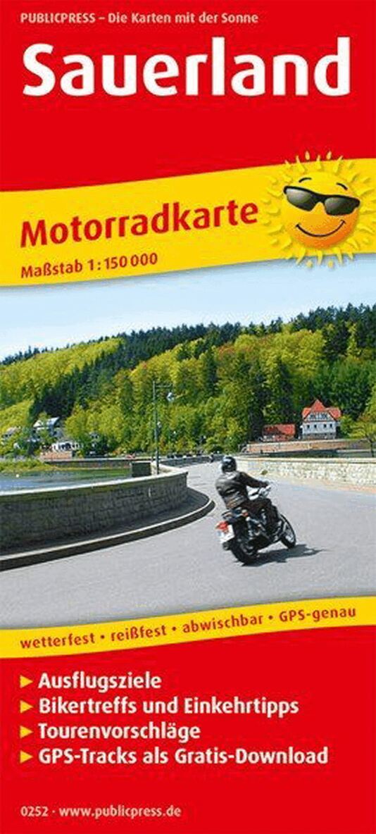
Winding routes through shady forests, resting at dams and reservoirs or slopes that are rewarded with wonderful views - the Sauerland, the low mountain range landscape in East Westphalia, not only inspires bikers from the nearby Ruhr area. The land of 1,000 mountains offers nature and panorama, serpentines and pure driving pleasure. All important tips about the tours, sights and biker meetings are explained on the back.
Engelska, 2018
152 kr
Skickas inom 3-6 vardagar
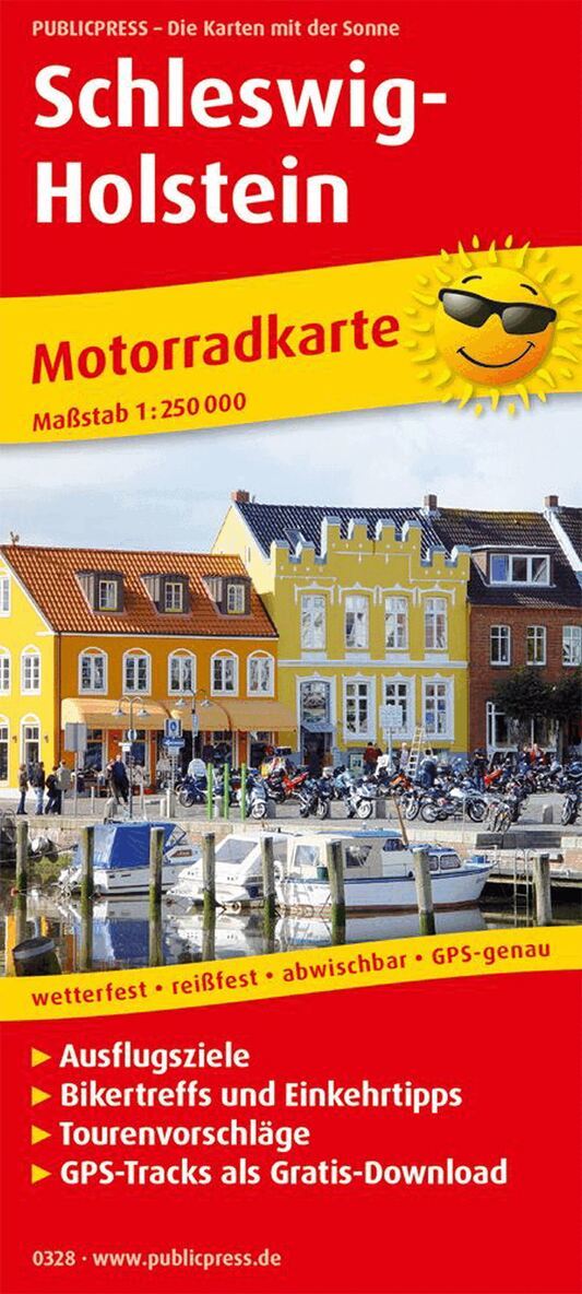
The motorcycle map describes 7 tours through Schleswig-Holstein (150 - 330 km). As the land between the seas, it offers flat routes with beautiful scenery. The tours between Eiderstedt in the west and Fehmarn in the east are particularly worthwhile when the rapeseed is in bloom. Inland, the routes lead through Holstein Switzerland, among other places. The map is supplemented with information on excursion tips, biker meetings, other restaurants and accommodation options.
Engelska, 2018
150 kr
Skickas inom 3-6 vardagar
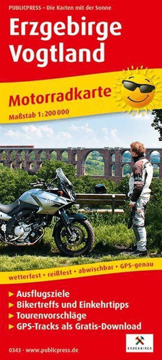
The motorcycle map Erzgebirge - Vogtland presents eight motorcycle tours. They lead through the low mountain range landscapes of the Ore Mountains and the Vogtland. The routes lead from the Thuringian Slate Mountains in the west to Karlsbad in the Czech Republic on well-paved roads. Well-known cities, castles, mining sites and the Fichtelgebirge as well as biker clubs make the trips particularly worthwhile. Refreshments and leisure tips along the routes provide information on the back of the map.
Engelska, 2017
150 kr
Skickas inom 3-6 vardagar
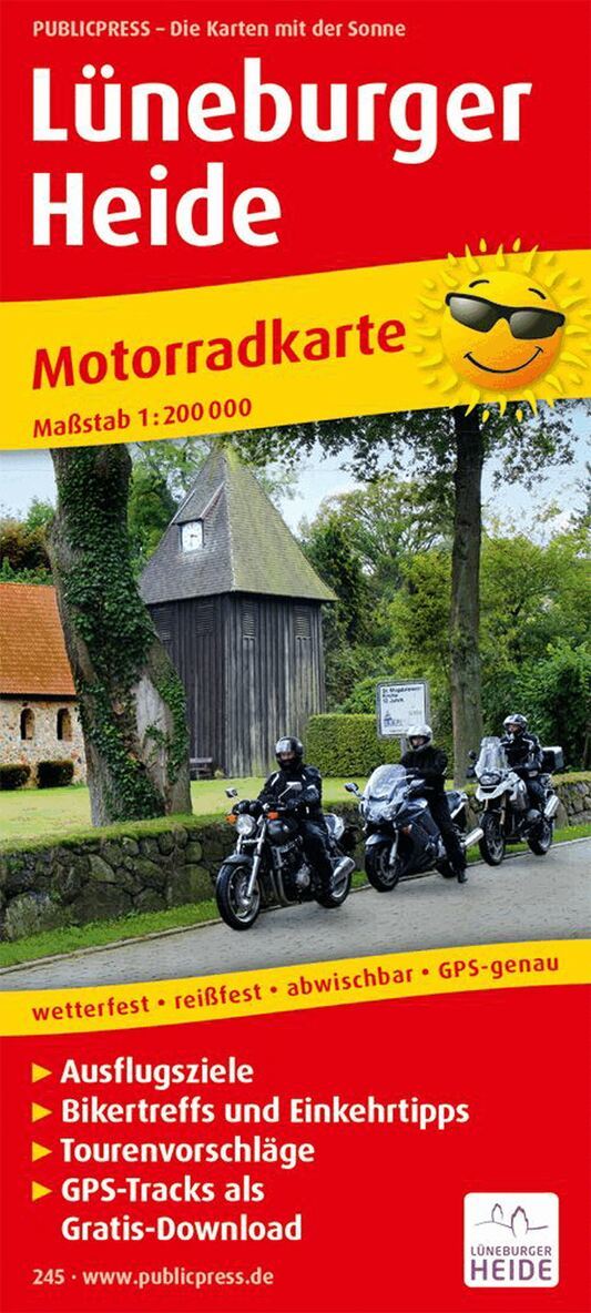
The route descriptions on the motorcycle map extend from Neustadt am Steinhuder Meer in the south to the south bank of the Elbe near Hamburg in the north. Other tours lead directly to the Lüneburg Heath with its many leisure activities. Because of the flat terrain, longer distances are also easy to drive. In addition to the beautiful natural landscape with its sheep, bikers will find museums, the Serengeti Park, the Uelzen Hundertwasser train station and the Autostadt Wolfsburg. Information on biker meetings, sights and gastronomy is on the back.