
National Geographic Adventure – serie
Visar alla böcker i serien National Geographic Adventure. Handla med fri frakt och snabb leverans.
2 produkter
2 produkter

Del 3128 - National Geographic Adventure
Vancouver Island Map
Adventure Maps
Engelska, 2020
284 kr
Skickas inom 3-6 vardagar
• Waterproof • Tear-Resistant • Travel MapNational Geographic's Vancouver Island Adventure Map provides global travelers with the perfect combination of detail and perspective in a highly functional travel tool. Cities and towns are clearly indicated and easy to find in the user-friendly index. A road network complete with distances and designations for roads, motorways, and expressways will help you find the route that's right for you. Secondary routes are also marked for those seeking to explore off the beaten path. Hundreds of points of interest and diverse and unique destinations are highlighted including national parks, nature reserves, World Heritage sites, archeological sites, ski areas, hot springs, beaches, museums, and more. The south side of the print map shows Victoria the capital of British Columbia, Pacific Rim National Park Reserve, and the costal town of Nanaimo. The northern half of the printed map covers the much more remote part of the island. There are many large protected areas in the north of the island including Strathcona, Cape Scott, Tahsish-Kwois Provincial Parks.Every Adventure Map is printed on durable synthetic paper, making them waterproof, tear-resistant and tough — capable of withstanding the rigors of international travel.
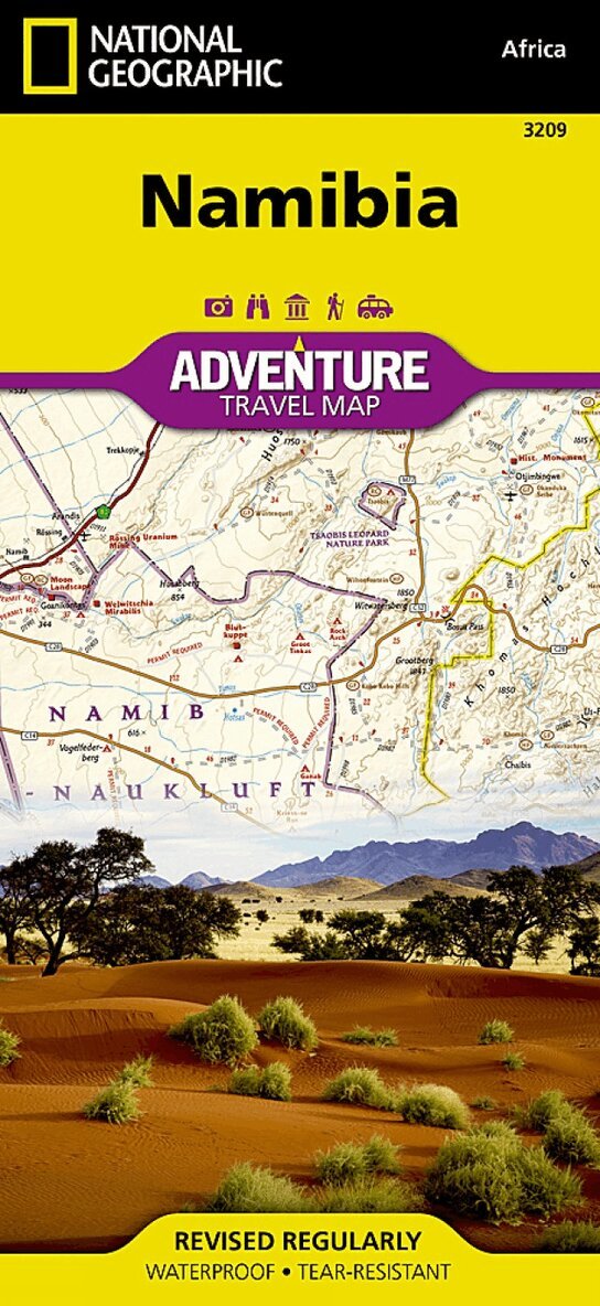
Del 3209 - National Geographic Adventure
Namibia Map
Adventure Maps
Engelska, 2016
219 kr
Skickas inom 3-6 vardagar
• Waterproof • Tear-Resistant • Travel MapNational Geographic's Namibia Adventure Map is designed to meet the needs of adventure travelers with its detailed and accurate information. This map includes the locations of cities and towns with a user-friendly index, a clearly marked road network complete with distances and designations for roads/highways, plus secondary routes for those seeking to explore off the beaten path. The Namibia map also includes hundreds of marked private guest lodges, camps and, state-owned rest camps. Adventure Maps differ from a traditional road map because of the specialty content they include. Each map contains hundreds of diverse and unique recreational, ecological, cultural, and historic destinations — outside of the major tourist hubs. National Geographic Adventure Maps are the perfect companion to a guidebook.Namibia is located on the south east shore of Africa. The climate is dry, even on the Atlantic coast where the dunes of the Namib Desert provide a spectacular sight. The eastern border of Namibia with Botswana, is defined by the Kalahari Desert. Despite the dry environment the protected areas of Namibia include almost 15 percent of the land area with virtually the entire Namib Desert coastal strip under protection. These protected areas are home to cheetahs, lions, zebras, giraffes, and even elephants.The northern part of the map includes the famous Skeleton Coast National Park. The the capital city of Windhoek falls in the generous overlap area of the printed map. The south side of the map includes Namib-Naukluft National Park as well as the Tsau//Khaeb (Sperrgebiet) National Park and, the long border with South Africa.Every Adventure Map is printed on durable synthetic paper, making them waterproof, tear-resistant and tough — capable of withstanding the rigors of international travel.