
Remote Sensing Handbook – serie
Visar alla böcker i serien Remote Sensing Handbook. Handla med fri frakt och snabb leverans.
9 produkter
9 produkter
16 453 kr
Skickas inom 10-15 vardagar
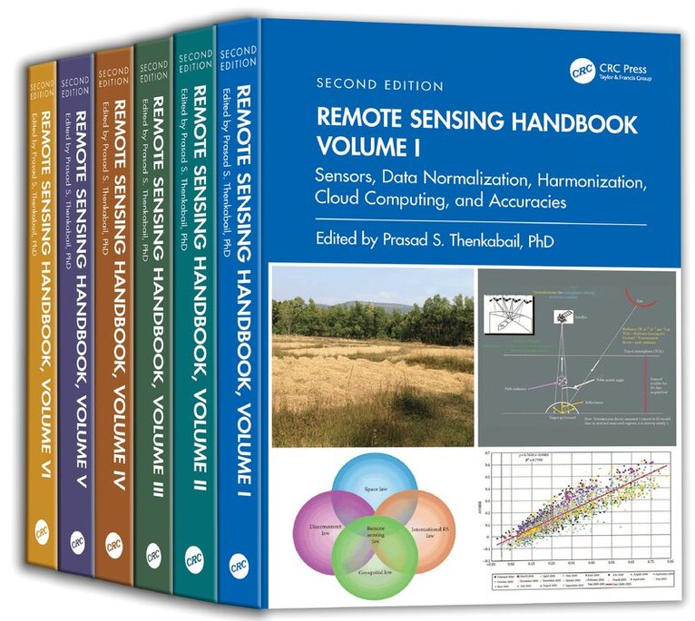
This comprehensive six volume handbook establishes a new standard for spanning and integrating discussion of remote sensing principles, data, methods, development, and applications in a scientific and social context. Advances in remote sensing with the arrival of machine learning, cloud computing, AI, and big data from multiple new generation of sensors are taken into consideration in the new edition along with many new applications of remotely sensed data. This thoroughly revised and updated volume draws on the expertise of a diverse array of leading international authorities in remote sensing and provides an essential resource for researchers at all levels interested in using remote sensing.FeaturesProvides the most up to date comprehensive coverage of remote sensing science.Discusses and analyzes data from new sensors and new satellites.Includes numerous case studies on advances and applications at a global scale.Introduces advanced methods in remote sensing such as machine learning, cloud computing, and AI.Highlights scientific achievements over the last decade and provides guidance for future developments.This set is an excellent resource for the entire remote sensing and GIS community. Academics, researchers, undergraduate and graduate students, as well as practitioners, decision-makers, and policymakers, will benefit from the expertise of the professionals featured in these handbooks, and their extensive knowledge of new and emerging trends.
Inbunden, Engelska, 2024
2 405 kr
Skickas inom 10-15 vardagar
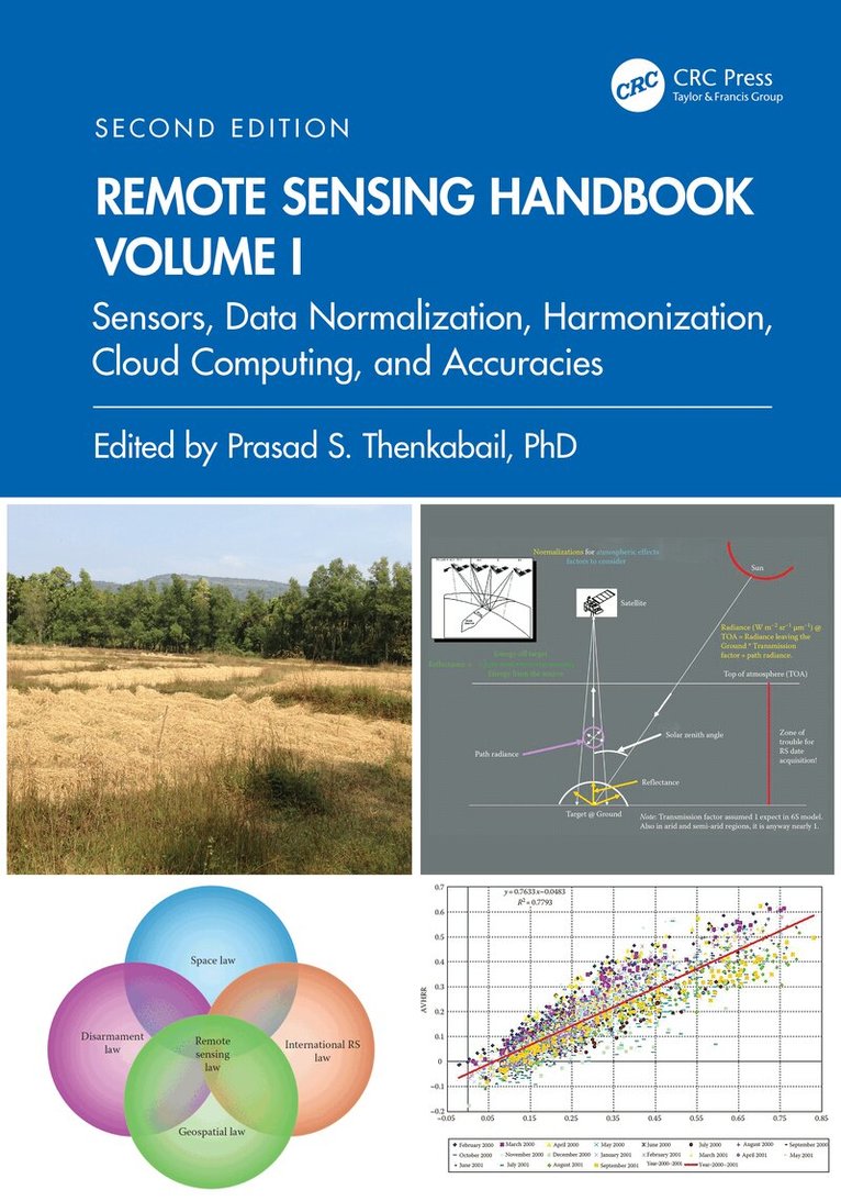
Volume I of the Six Volume Remote Sensing Handbook, Second Edition, is focused on satellites and sensors including radar, light detection and ranging (LiDAR), microwave, hyperspectral, unmanned aerial vehicles (UAVs), and their applications. It discusses data normalization and harmonization, accuracies, and uncertainties of remote sensing products, global navigation satellite system (GNSS) theory and practice, crowdsourcing, cloud computing environments, Google Earth Engine, and remote sensing and space law. This thoroughly revised and updated volume draws on the expertise of a diverse array of leading international authorities in remote sensing and provides an essential resource for researchers at all levels interested in using remote sensing. It integrates discussions of remote sensing principles, data, methods, development, applications, and scientific and social context.FEATURESProvides the most up-to-date comprehensive coverage of remote sensing science.Discusses and analyzes data from old and new generations of satellites and sensors.Provides comprehensive methods and approaches for remote sensing data normalization, standardization, and harmonization.Includes numerous case studies on advances and applications at local, regional, and global scales.Introduces advanced methods in remote sensing such as machine learning, cloud computing, and AI.Highlights scientific achievements over the last decade and provides guidance for future developments.This volume is an excellent resource for the entire remote sensing and GIS community. Academics, researchers, undergraduate and graduate students, as well as practitioners, decision-makers, and policymakers, will benefit from the expertise of the professionals featured in this book, and their extensive knowledge of new and emerging trends.
- Nyhet

Häftad, Engelska, 2026
997 kr
Skickas inom 10-15 vardagar
Volume I of the Six Volume Remote Sensing Handbook, Second Edition, is focused on satellites and sensors including radar, light detection and ranging (LiDAR), microwave, hyperspectral, unmanned aerial vehicles (UAVs), and their applications. It discusses data normalization and harmonization, accuracies, and uncertainties of remote sensing products, global navigation satellite system (GNSS) theory and practice, crowdsourcing, cloud computing environments, Google Earth Engine, and remote sensing and space law. This thoroughly revised and updated volume draws on the expertise of a diverse array of leading international authorities in remote sensing and provides an essential resource for researchers at all levels interested in using remote sensing. It integrates discussions of remote sensing principles, data, methods, development, applications, and scientific and social context.FEATURESProvides the most up-to-date comprehensive coverage of remote sensing science.Discusses and analyzes data from old and new generations of satellites and sensors.Provides comprehensive methods and approaches for remote sensing data normalization, standardization, and harmonization.Includes numerous case studies on advances and applications at local, regional, and global scales.Introduces advanced methods in remote sensing such as machine learning, cloud computing, and AI.Highlights scientific achievements over the last decade and provides guidance for future developments.This volume is an excellent resource for the entire remote sensing and GIS community. Academics, researchers, undergraduate and graduate students, as well as practitioners, decision-makers, and policymakers, will benefit from the expertise of the professionals featured in this book, and their extensive knowledge of new and emerging trends.
Remote Sensing Handbook, Volume II
Image Processing, Change Detection, GIS, and Spatial Data Analysis
Inbunden, Engelska, 2024
2 405 kr
Skickas inom 10-15 vardagar
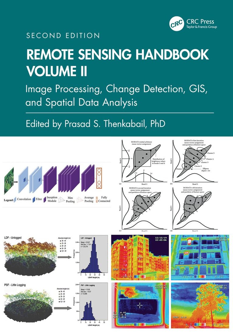
Volume II of the Six Volume Remote Sensing Handbook, Second Edition, is focused on digital image processing including image classification methods in land cover and land use. It discusses object-based segmentation and pixel-based image processing algorithms, change detection techniques, and image classification for a wide array of applications including land use/land cover, croplands, urban studies, processing hyperspectral remote sensing data, thermal imagery, light detection and ranging (LiDAR), geoprocessing workflows, frontiers of GIScience, and future pathways. This thoroughly revised and updated volume draws on the expertise of a diverse array of leading international authorities in remote sensing and provides an essential resource for researchers at all levels interested in using remote sensing. It integrates discussions of remote sensing principles, data, methods, development, applications, and scientific and social context.FeaturesProvides the most up-to-date comprehensive coverage of digital image processing.Highlights object-based image analysis (OBIA) and pixel-based classification methods and techniques of digital image processing.Demonstrates practical examples of image processing for a myriad of applications such as land use/land cover, croplands, and urban.Establishes image processing using different types of remote sensing data that includes multispectral, radar, LiDAR, thermal, and hyperspectral.Highlights change detection, geoprocessing, and GIScience.This volume is an excellent resource for the entire remote sensing and GIS community. Academics, researchers, undergraduate and graduate students, as well as practitioners, decision makers, and policymakers, will benefit from the expertise of the professionals featured in this book, and their extensive knowledge of new and emerging trends.
Inbunden, Engelska, 2024
2 935 kr
Skickas inom 10-15 vardagar
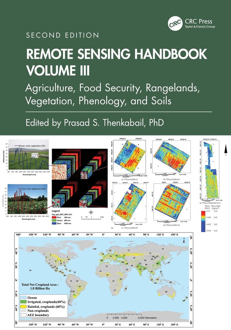
Volume III of the Six Volume Remote Sensing Handbook, Second Edition, is focused on agriculture; food security; vegetation; phenology; rangelands; soils; and global biomass modeling, mapping, and monitoring using multi-sensor remote sensing. It discusses the application of remote sensing in agriculture systems analysis, phenology, cropland mapping and modeling, terrestrial vegetation studies, physically based models, food and water security, precision farming, crop residues, global view of rangelands, and soils. This thoroughly revised and updated volume draws on the expertise of a diverse array of leading international authorities in remote sensing and provides an essential resource for researchers at all levels interested in using remote sensing. It integrates discussions of remote sensing principles, data, methods, development, applications, and scientific and social context.FEATURESProvides the most up-to-date comprehensive coverage of remote sensing science in agriculture, vegetation, and soil studies.Discusses and analyzes data from old and new generations of satellites and sensors spread across 60 years.Provides comprehensive assessment of modeling, mapping, and monitoring agricultural crops, vegetation, and soils from wide array of sensors, methods, and techniques.Includes numerous case studies on advances and applications at local, regional, and global scales.Introduces advanced methods in remote sensing such as machine learning, cloud computing, and AI.Highlights scientific achievements over the last decade and provides guidance for future developments.This volume is an excellent resource for the entire remote sensing and GIS community. Academics, researchers, undergraduate and graduate students, as well as practitioners, decision makers, and policymakers, will benefit from the expertise of the professionals featured in this book, and their extensive knowledge of new and emerging trends.
Inbunden, Engelska, 2024
2 405 kr
Skickas inom 10-15 vardagar
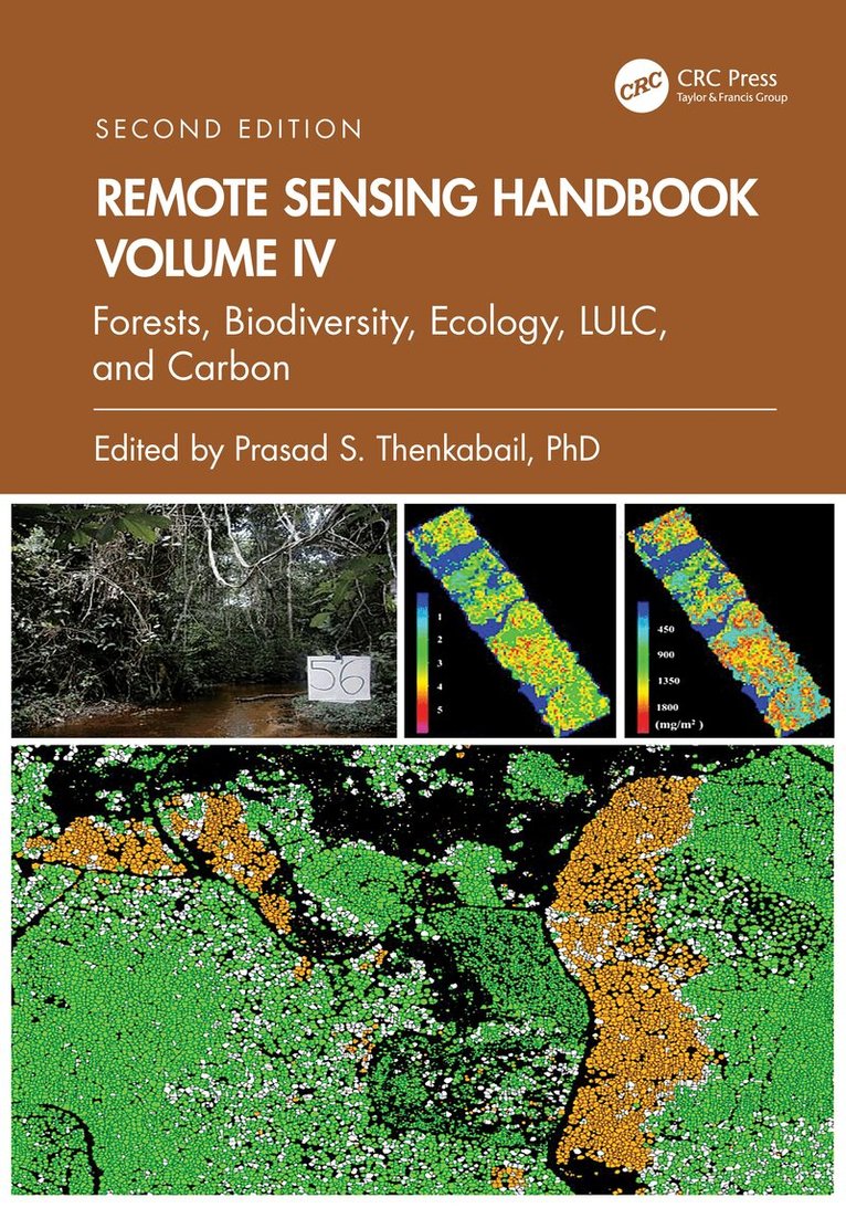
Volume IV of the Six Volume Remote Sensing Handbook, Second Edition, is focused on the use of remote sensing in forestry, biodiversity, ecology, land use and land cover, and global terrestrial carbon mapping and monitoring. It discusses remote sensing studies of multi-scale habitat modeling, forest informatics, tree and stand height studies, land cover and land use (LCLU) change mapping, forest biomass and carbon modeling and mapping, and advanced image analysis methods and advances in land remote sensing using optical, radar, LiDAR, and hyperspectral remote sensing. This thoroughly revised and updated volume draws on the expertise of a diverse array of leading international authorities in remote sensing and provides an essential resource for researchers at all levels interested in using remote sensing. It integrates discussions of remote sensing principles, data, methods, development, applications, and scientific and social context.FEATURESProvides the most up-to-date comprehensive coverage of remote sensing science for forests, biodiversity, land cover and land use change (LCLUC), biomass, and carbon.Discusses and analyzes data from old and new generations of satellites and sensors spread across 60 years.Extensive forestry, LCLUC studies, biomass, and carbon using optical, radar, LiDAR, and hyperspectral data.Includes numerous case studies on advances and applications at local, regional, and global scales.Introduces advanced methods in remote sensing such as machine learning, cloud computing, and AI.Highlights scientific achievements over the last decade and provides guidance for future developments.This volume is an excellent resource for the entire remote sensing and GIS community. Academics, researchers, undergraduate and graduate students, as well as practitioners, decision makers, and policymakers, will benefit from the expertise of the professionals featured in this book and their extensive knowledge of new and emerging trends.
- Nyhet
Häftad, Engelska, 2026
997 kr
Skickas inom 10-15 vardagar
Volume IV of the Six Volume Remote Sensing Handbook, Second Edition, is focused on the use of remote sensing in forestry, biodiversity, ecology, land use and land cover, and global terrestrial carbon mapping and monitoring. It discusses remote sensing studies of multi-scale habitat modeling, forest informatics, tree and stand height studies, land cover and land use (LCLU) change mapping, forest biomass and carbon modeling and mapping, and advanced image analysis methods and advances in land remote sensing using optical, radar, LiDAR, and hyperspectral remote sensing. This thoroughly revised and updated volume draws on the expertise of a diverse array of leading international authorities in remote sensing and provides an essential resource for researchers at all levels interested in using remote sensing. It integrates discussions of remote sensing principles, data, methods, development, applications, and scientific and social context.FEATURESProvides the most up-to-date comprehensive coverage of remote sensing science for forests, biodiversity, land cover and land use change (LCLUC), biomass, and carbon.Discusses and analyzes data from old and new generations of satellites and sensors spread across 60 years.Extensive forestry, LCLUC studies, biomass, and carbon using optical, radar, LiDAR, and hyperspectral data.Includes numerous case studies on advances and applications at local, regional, and global scales.Introduces advanced methods in remote sensing such as machine learning, cloud computing, and AI.Highlights scientific achievements over the last decade and provides guidance for future developments.This volume is an excellent resource for the entire remote sensing and GIS community. Academics, researchers, undergraduate and graduate students, as well as practitioners, decision makers, and policymakers, will benefit from the expertise of the professionals featured in this book and their extensive knowledge of new and emerging trends.
Inbunden, Engelska, 2024
2 405 kr
Skickas inom 10-15 vardagar
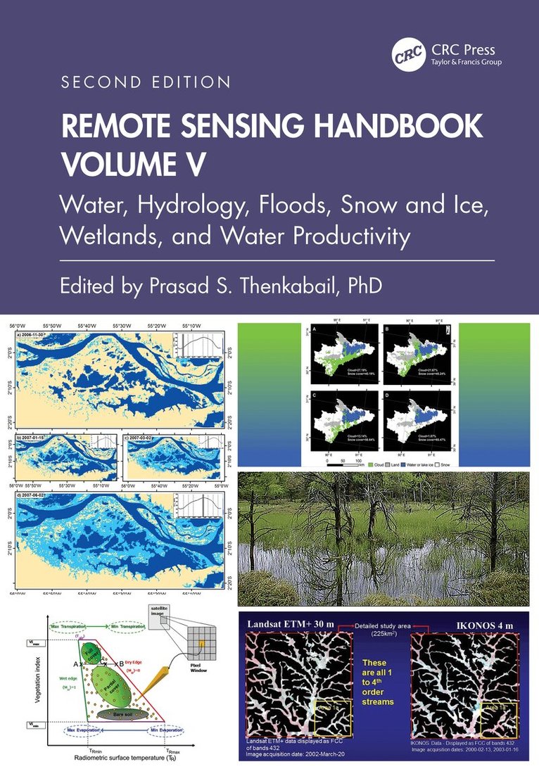
Volume V of theSix Volume Remote Sensing Handbook, Second Edition, is focused on the use of remote sensing technologies for studying water resources, including groundwater, floods, snow and ice, and wetlands. It discusses water productivity studies from Earth observation data characterization and modeling, mapping their successes and challenges. Chapters include remote sensing of surface water hydrology; quantitative geomorphology; river basin studies; floods; wetlands, including mangroves and river deltas; groundwater studies; crop water use or actual evapotranspiration modeling and mapping; and snow and ice mapping. This thoroughly revised and updated volume draws on the expertise of a diverse array of leading international authorities in remote sensing and provides an essential resource for researchers at all levels interested in using remote sensing. It integrates discussions of remote sensing principles, data, methods, development, applications, and scientific and social context.FEATURESProvides the most up-to-date comprehensive coverage of remote sensing science for water resources, including wetlands, floods, snow, and ice.Provides comprehensive assessments of crop water use and crop water productivity modeling and mapping, including evapotranspiration studies.Discusses and analyzes data from old and new generations of satellites and sensors spread across 60 years.Includes numerous case studies on advances and applications at local, regional, and global scales.Introduces advanced methods in remote sensing, such as machine learning, cloud computing, and artificial intelligence (AI).Highlights scientific achievements over the last decade and provides guidance for future developments.This volume is an excellent resource for the entire remote sensing and GIS community. Academics, researchers, undergraduate and graduate students, as well as practitioners, decision makers, and policymakers, will benefit from the expertise of the professionals featured in this book and their extensive knowledge of new and emerging trends.
Inbunden, Engelska, 2024
2 405 kr
Skickas inom 10-15 vardagar
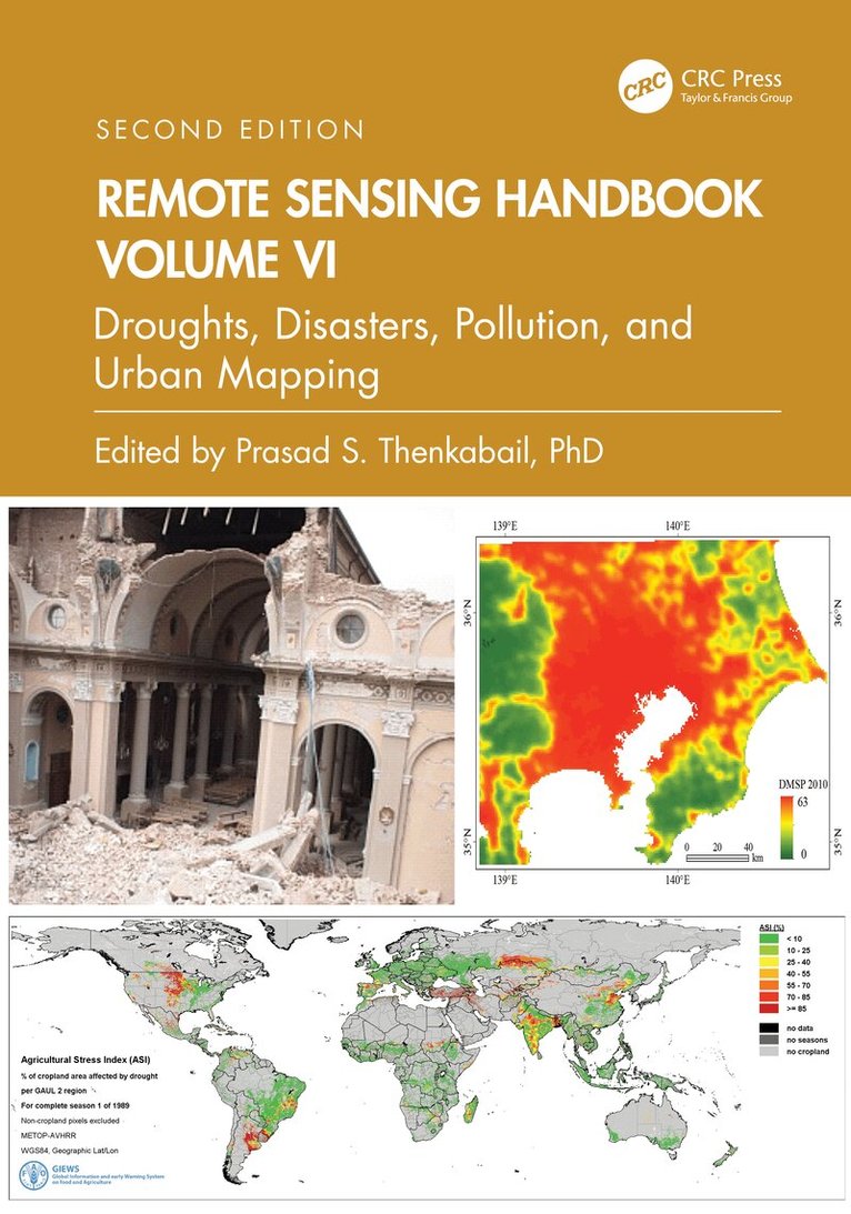
Volume VI of the Six Volume Remote Sensing Handbook, Second Edition, is focused on the use of remote sensing in the assessment and monitoring of droughts, dry lands, biomass burning, disasters such as volcanoes and fires, and urban studies and nightlights. It discusses land degradation assessment and monitoring, greenhouse gas (GHG) emissions, and pollution from nightlights in megacities. Chapters include remote sensing of agricultural droughts, including US drought monitoring, dryland studies, coal fires, biomass burning and GHG emissions, volcanoes, humanitarian disasters, smart cities, and night lights mapping. This thoroughly revised and updated volume draws on the expertise of a diverse array of leading international authorities in remote sensing and provides an essential resource for researchers at all levels interested in using remote sensing. It integrates discussions of remote sensing principles, data, methods, development, applications, and scientific and social context.FEATURESProvides the most up-to-date comprehensive coverage of remote sensing science for droughts, disasters, and GHG emissions.Discusses and analyzes data from old and new generations of sensors.Highlights remote sensing of agricultural droughts, humanitarian and natural disasters, and GHG emissions from coal and stubble burning.Includes numerous case studies on advances and applications at local, regional, and global scales.Introduces advanced methods in remote sensing, such as machine learning, cloud computing, and AI.Highlights scientific achievements over the last decade and provides guidance for future developments.This volume is an excellent resource for the entire remote sensing and GIS community. Academics, researchers, undergraduate and graduate students, as well as practitioners, decision makers, and policymakers, will benefit from the expertise of the professionals featured in this book and their extensive knowledge of new and emerging trends.