
SAR Remote Sensing – serie
Visar alla böcker i serien SAR Remote Sensing. Handla med fri frakt och snabb leverans.
16 produkter
16 produkter

Inbunden, Engelska, 2021
2 429 kr
Skickas inom 10-15 vardagar
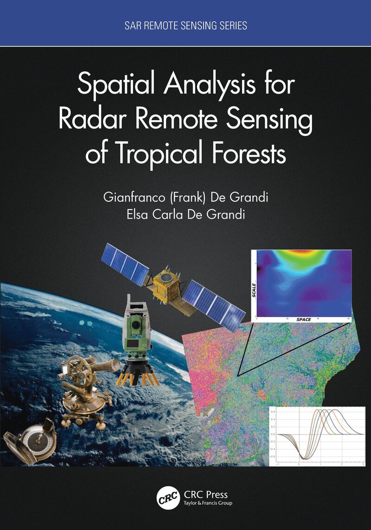
This book is based on the authors’ extensive involvement in Synthetic Aperture Radar (SAR) mapping projects, targeting the health of an earth ecosystem with great relevance for climate change studies: the tropical forests. The subject is developed from a vantage point provided by analysis in a combined space, scale (frequency), time, wavelength, polarization domain. The combination of space and scale offers the capability to zoom in and out like a virtual microscope to the resolution in tune with the underlying ecological phenomenon. It also enables statistical measures (correlations) related to the forest spatial distribution in case of backscatter, or to the canopy height variations in case of interferometric observations. The time dimension brings into play measures of the ecosystem dynamics, such as the flooding extent in the swamp forests, deforestation or degradation events. The book’s spotlight is on radar spatial random fields, these being populated by either backscatter observations or elevation data from interferometric SAR. The basic tenet here is that the spatial statistic of the fields measured by the wavelet variance (in stationary or non-stationary situations) carries fingerprints of the forest structure.Features:Uniquely focused on specific techniques that provide multi-resolution spatial and temporal analysis of forest structure characteristics and changesExamines several large and important international remote sensing projects aimed at documenting entire tropical ecosystemsProvides novel wavelet methods for tropical forest structural measuresIncludes Python code for a suite of wavelet based time-series and single set InSAR coherence and backscatter speckle filters, available to downloadAs the first book on this topic, this composite approach appeals to both students learning through important case studies and to researchers finding new ideas for future studies.
Inbunden, Engelska, 2020
2 428 kr
Skickas inom 10-15 vardagar
Radar polarimetry has been highly sought after for its use in the precise monitoring of Earth's surface. Polarimetric SAR Imaging explains the basic concepts of polarimetry and its diverse applications including: deforestation, tree classification, landslide detection, tsunamis, volcano eruptions and ash distribution, snow accumulation, rice field monitoring, urban area exploration, ship detection, among other applications. The explanations use actual data sets taken by Advanced Land Observing Satellite (ALOS and ALOS2). With the increasing problems presented by climate change, there is a growing need for detailed earth observation using polarimetric data. As the treatment of vector nature of radar waves is complex, there is a gap between the theory and the application. Polarimetric SAR Imaging: Theory and Applications addresses and fills this gap. Features: Provides cutting-edge polarimetric applications for earth observation with full color images. Includes detailed descriptions of theory, equations, expansions, and flowcharts, and numerous real examples. Explains concepts, data analysis, and applications in simple and clear language aimed at an intuitive comprehension. Provides specific and unique examples of PolSAR images derived from actual space and airborne systems (ALOS/ALOS2, PiSAR-x/L) Covers the wide range of the radar polarimetry, especially the decomposition of the polarimetry data, an original method developed by the author using the Japanese polarimetric SAR dataIllustrated in full color using images generated by polarimetric techniques, this book is easy to understand and use for both student and expert, and is an excellent resource both in the classroom and in the field.
Häftad, Engelska, 2023
852 kr
Skickas inom 10-15 vardagar
Radar polarimetry has been highly sought after for its use in the precise monitoring of Earth's surface. Polarimetric SAR Imaging explains the basic concepts of polarimetry and its diverse applications including: deforestation, tree classification, landslide detection, tsunamis, volcano eruptions and ash distribution, snow accumulation, rice field monitoring, urban area exploration, ship detection, among other applications. The explanations use actual data sets taken by Advanced Land Observing Satellite (ALOS and ALOS2). With the increasing problems presented by climate change, there is a growing need for detailed earth observation using polarimetric data. As the treatment of vector nature of radar waves is complex, there is a gap between the theory and the application. Polarimetric SAR Imaging: Theory and Applications addresses and fills this gap. Features: Provides cutting-edge polarimetric applications for earth observation with full color images. Includes detailed descriptions of theory, equations, expansions, and flowcharts, and numerous real examples. Explains concepts, data analysis, and applications in simple and clear language aimed at an intuitive comprehension. Provides specific and unique examples of PolSAR images derived from actual space and airborne systems (ALOS/ALOS2, PiSAR-x/L) Covers the wide range of the radar polarimetry, especially the decomposition of the polarimetry data, an original method developed by the author using the Japanese polarimetric SAR dataIllustrated in full color using images generated by polarimetric techniques, this book is easy to understand and use for both student and expert, and is an excellent resource both in the classroom and in the field.
Häftad, Engelska, 2020
739 kr
Skickas inom 10-15 vardagar
Sixty years after its birth, Synthetic Aperture Radar (SAR) evolved as a key player of earth observation, and it is continually upgraded by enhanced hardware functionality and improved overall performance in response to user requirements. The basic information gained by SAR includes the backscattering coefficient of targets, their phases (the truncated distance between SAR and its targets), and their polarization dependence. The spatiotemporal combination of the multiple data operated on the satellite or aircraft significantly increases its sensitivity to detect changes on earth, including temporal variations of the planet in amplitude and the interferometric change for monitoring disasters; deformations caused by earthquakes, volcanic activity, and landslides; environmental changes; ship detection; and so on. Earth-orbiting satellites with the appropriate sensors can detect environmental changes because of their large spatial coverage and availability.Imaging from Spaceborne and Airborne SARs, Calibration, and Applications provides A-to-Z information regarding SAR researches through 15 chapters that focus on the JAXA L-band SAR, including hardware description, principles of SAR imaging, theoretical description of SAR imaging and error, ScanSAR imaging, polarimetric calibration, inflight antenna pattern, SAR geometry and ortho rectification, SAR calibration, defocusing for moving targets, large-scale SAR imaging and mosaic, interferometric SAR processing, irregularities, application, and forest estimation. Sample data are created by using L-band SAR, JERS-1, PALSAR, PALSAR-2, and Pi-SAR-L2.This book is based on the author’s experience as a principal researcher at JAXA with responsibilities for L-band SAR operation and researches. It reveals the inside of SAR processing and application researches performed at JAXA, which makes this book a valuable reference for a wide range of SAR researchers, professionals, and students.
Häftad, Engelska, 2023
824 kr
Skickas inom 10-15 vardagar
Radar scattering and imaging of rough surfaces is an active interdisciplinary area of research with many practical applications in fields such as mineral and resource exploration, ocean and physical oceanography, military and national defense, planetary exploration, city planning and land use, environmental science, and many more. By focusing on the most advanced analytical and numerical modeling and describing both forward and inverse modeling, Radar Scattering and Imaging of Rough Surfaces: Modeling and Applications with MATLAB® connects the scattering process to imaging techniques by vivid examples through numerical and experimental demonstrations and provides computer codes and practical uses. This book is unique in its simultaneous treatment of radar scattering and imaging.Key Features Bridges physical modeling with simulation for resolving radar imaging problems (the first comprehensive work to do so) Provides excellent basic and advanced information for microwave remote-sensing professionals in various fields of science and engineering Covers most advanced analytical and numerical modeling for both backscattering and bistatic scattering Includes MATLAB® codes useful not only for academics but also for radar engineers and scientists to develop tools applicable in different areas of earth studiesCovering both the theoretical and the practical, Radar Scattering and Imaging of Rough Surfaces: Modeling and Applications with MATLAB® is an invaluable resource for professionals and students using remote sensing to study and explain the Earth and its processes. University and research institutes, electrical and radar engineers, remote-sensing image users, application software developers, students, and academics alike will benefit from this book.The author, Kun-Shan Chen, is an internationally known and respected engineer and scientist and an expert in the field of electromagnetic modeling.
Häftad, Engelska, 2023
837 kr
Skickas inom 10-15 vardagar
This book is based on the authors’ extensive involvement in Synthetic Aperture Radar (SAR) mapping projects, targeting the health of an earth ecosystem with great relevance for climate change studies: the tropical forests. The subject is developed from a vantage point provided by analysis in a combined space, scale (frequency), time, wavelength, polarization domain. The combination of space and scale offers the capability to zoom in and out like a virtual microscope to the resolution in tune with the underlying ecological phenomenon. It also enables statistical measures (correlations) related to the forest spatial distribution in case of backscatter, or to the canopy height variations in case of interferometric observations. The time dimension brings into play measures of the ecosystem dynamics, such as the flooding extent in the swamp forests, deforestation or degradation events. The book’s spotlight is on radar spatial random fields, these being populated by either backscatter observations or elevation data from interferometric SAR. The basic tenet here is that the spatial statistic of the fields measured by the wavelet variance (in stationary or non-stationary situations) carries fingerprints of the forest structure.Features:Uniquely focused on specific techniques that provide multi-resolution spatial and temporal analysis of forest structure characteristics and changesExamines several large and important international remote sensing projects aimed at documenting entire tropical ecosystemsProvides novel wavelet methods for tropical forest structural measuresIncludes Python code for a suite of wavelet based time-series and single set InSAR coherence and backscatter speckle filters, available to downloadAs the first book on this topic, this composite approach appeals to both students learning through important case studies and to researchers finding new ideas for future studies.
Inbunden, Engelska, 2023
2 428 kr
Skickas inom 10-15 vardagar
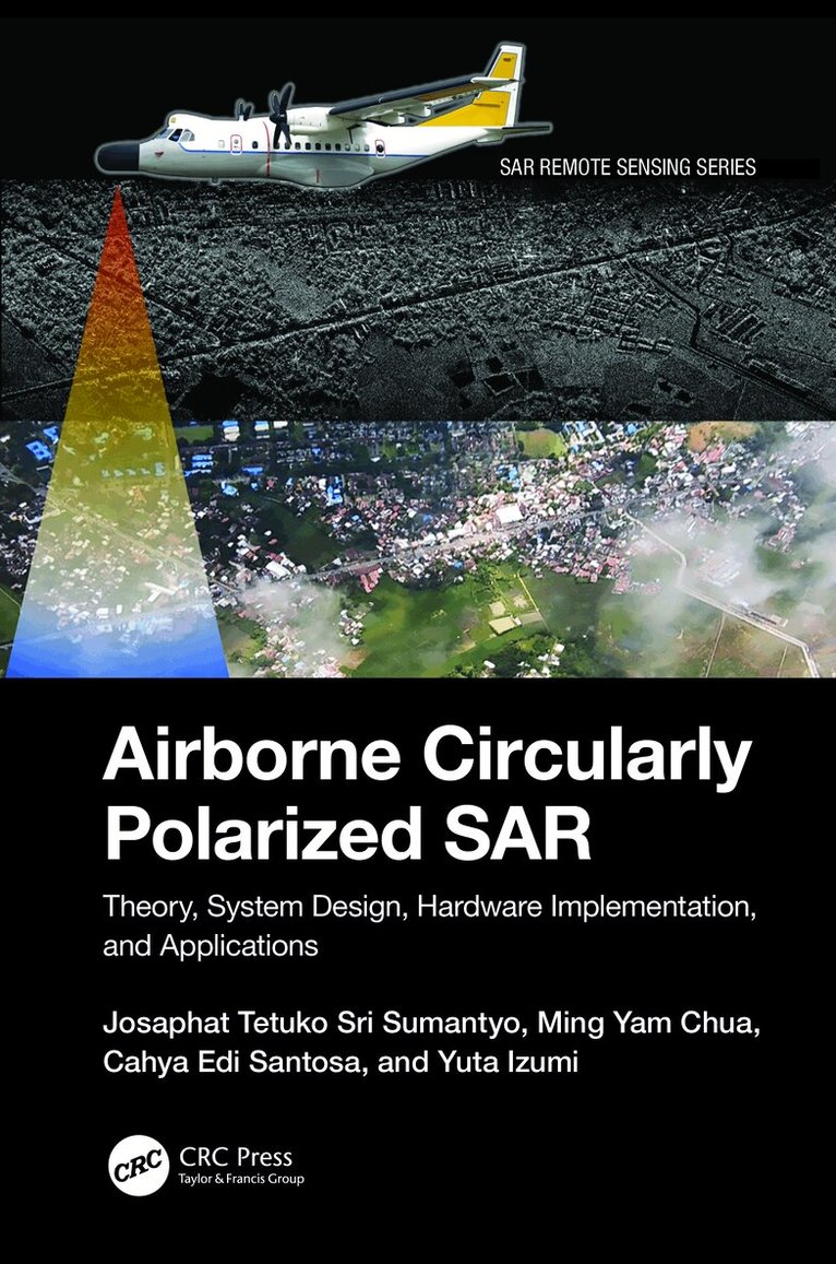
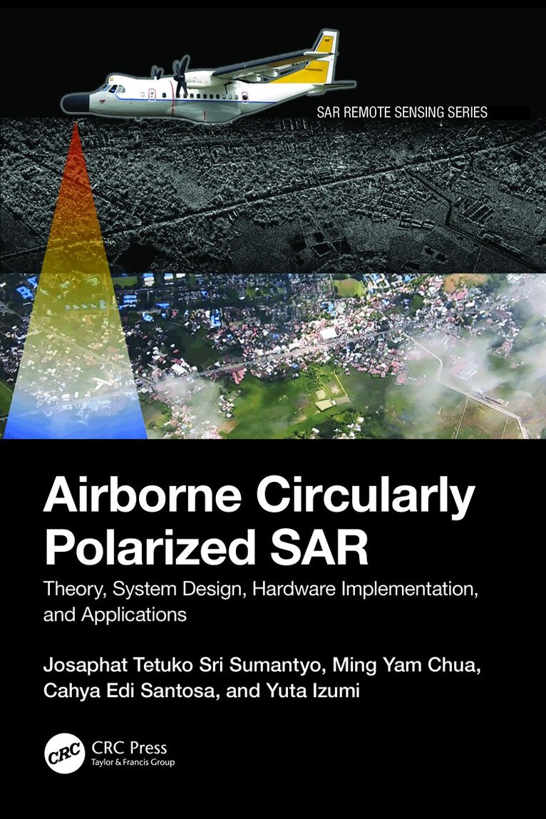
A comprehensive resource on airborne synthetic aperture radar (SAR) systems, Airborne Circularly Polarized SAR explains the theory, system design, hardware and software, and applications of airborne circularly polarized SAR in environmental monitoring and other uses. Readers learn how to build the hardware and software of circularly polarized SAR, the antenna system, and how to generate point target responses and images using the range doppler algorithm (RDA) from raw signal data. The book discusses applications and analyzing techniques using a circularly polarized SAR system and image processing. Images and MATLAB® codes are provided to help professionals and researchers with their applications and future studies. FeaturesProvides the theory of circularly polarized wave and polarimetry related to system design, scattering analysis, polarimetric SAR, and applications in microwave remote sensingExplains the real radio frequency (RF) system and the original antenna, including circuit explanation and know-how of measurement technique to adjust to the required parameter in system designDiscusses the technique of ground test and flight mission to calibrate and validate the performance of airborne circularly polarized SARHighlights image signal processing with MATLAB codes and how to obtain a single look complex (SLC) image for further applicationsIncludes several applications of airborne circularly polarized SAR from international leading expertsThis book is beneficial to professionals, researchers, academics, and graduate students from disciplines such as Electronic Engineering; Radar Systems; Aerospace Engineering; Signal Processing; Image Processing; Environmental Remote Sensing.
Häftad, Engelska, 2024
781 kr
Skickas inom 10-15 vardagar
A comprehensive resource on airborne synthetic aperture radar (SAR) systems, Airborne Circularly Polarized SAR explains the theory, system design, hardware and software, and applications of airborne circularly polarized SAR in environmental monitoring and other uses. Readers learn how to build the hardware and software of circularly polarized SAR, the antenna system, and how to generate point target responses and images using the range doppler algorithm (RDA) from raw signal data. The book discusses applications and analyzing techniques using a circularly polarized SAR system and image processing. Images and MATLAB® codes are provided to help professionals and researchers with their applications and future studies. FeaturesProvides the theory of circularly polarized wave and polarimetry related to system design, scattering analysis, polarimetric SAR, and applications in microwave remote sensingExplains the real radio frequency (RF) system and the original antenna, including circuit explanation and know-how of measurement technique to adjust to the required parameter in system designDiscusses the technique of ground test and flight mission to calibrate and validate the performance of airborne circularly polarized SARHighlights image signal processing with MATLAB codes and how to obtain a single look complex (SLC) image for further applicationsIncludes several applications of airborne circularly polarized SAR from international leading expertsThis book is beneficial to professionals, researchers, academics, and graduate students from disciplines such as Electronic Engineering; Radar Systems; Aerospace Engineering; Signal Processing; Image Processing; Environmental Remote Sensing.

Inbunden, Engelska, 2024
2 428 kr
Skickas inom 10-15 vardagar
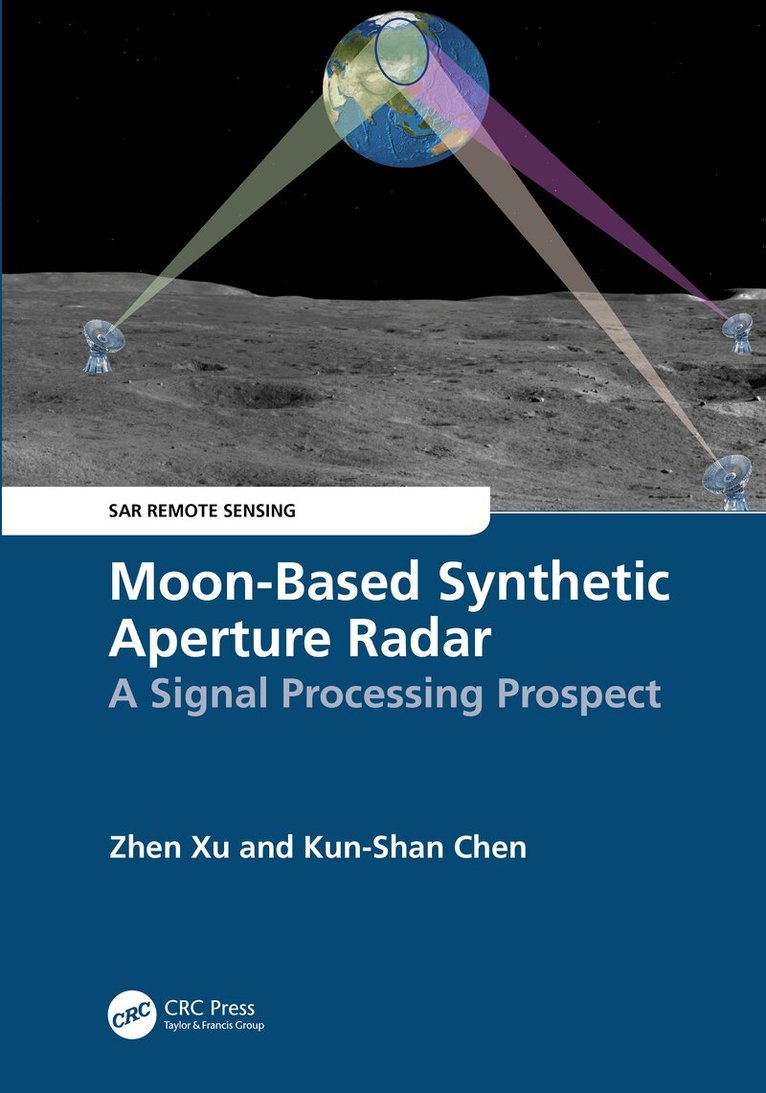
Lunar explorations have received increasing attention in recent years with tremendous application values, including using the Moon as a remote sensing platform for Earth observation. As an active sensor, the Synthetic Aperture Radar (SAR) can detect changes in the atmosphere, terrain, and ocean. Moon-based SAR, complementary to the spaceborne SAR systems, expands our capabilities of watching and understanding the Earth. This book explains the Moon-Earth observation geometry, generic parameters, image focusing, and outlook using the Moon-based SAR. Written as a SAR imaging of Earth on the lunar-based platform, it makes it an essential reference to those interested in planetary and Earth sciences.FEATURESUses the Moon as a remote sensing platform for Earth observationExplains how to obtain a high spatial resolution with a short revisit time using the Moon-based SARCovers the observation geometry, range and signal models, two-dimensional signal spectrum, and focusing algorithms for the Moon-based SARPresents a detailed analysis of sources of phase errors in the Moon-based SAR signalIncludes global case studies and introduces conceptual ideas for further researchThis book is intended for senior graduate students, professional researchers, and engineers studying and working in the fields of lunar exploration and remote sensing applications, especially when dealing with high-orbit SAR studies.
Häftad, Engelska, 2025
894 kr
Skickas inom 10-15 vardagar
Lunar explorations have received increasing attention in recent years with tremendous application values, including using the Moon as a remote sensing platform for Earth observation. As an active sensor, the Synthetic Aperture Radar (SAR) can detect changes in the atmosphere, terrain, and ocean. Moon-based SAR, complementary to the spaceborne SAR systems, expands our capabilities of watching and understanding the Earth. This book explains the Moon-Earth observation geometry, generic parameters, image focusing, and outlook using the Moon-based SAR. Written as a SAR imaging of Earth on the lunar-based platform, it makes it an essential reference to those interested in planetary and Earth sciences.FEATURESUses the Moon as a remote sensing platform for Earth observationExplains how to obtain a high spatial resolution with a short revisit time using the Moon-based SARCovers the observation geometry, range and signal models, two-dimensional signal spectrum, and focusing algorithms for the Moon-based SARPresents a detailed analysis of sources of phase errors in the Moon-based SAR signalIncludes global case studies and introduces conceptual ideas for further researchThis book is intended for senior graduate students, professional researchers, and engineers studying and working in the fields of lunar exploration and remote sensing applications, especially when dealing with high-orbit SAR studies.
Inbunden, Engelska, 2024
2 069 kr
Skickas inom 10-15 vardagar
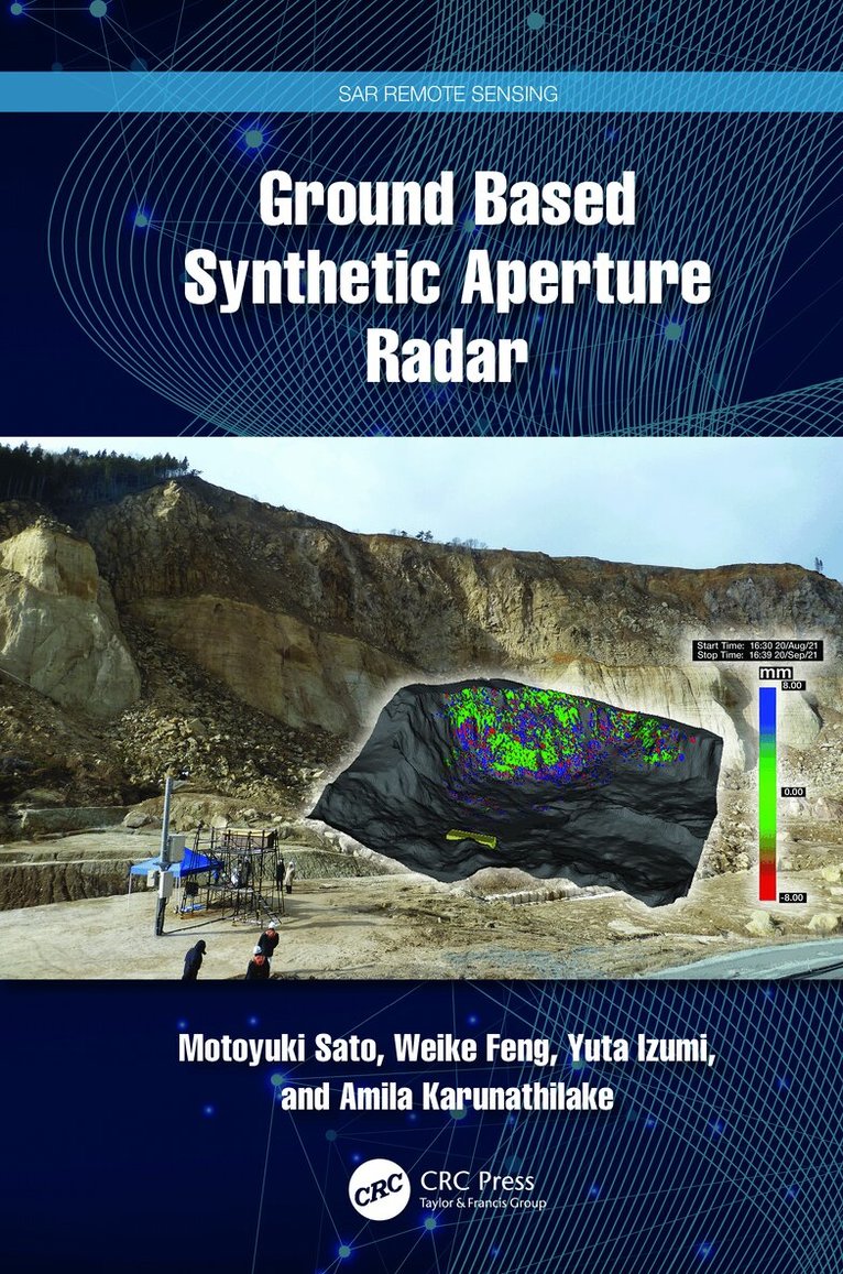
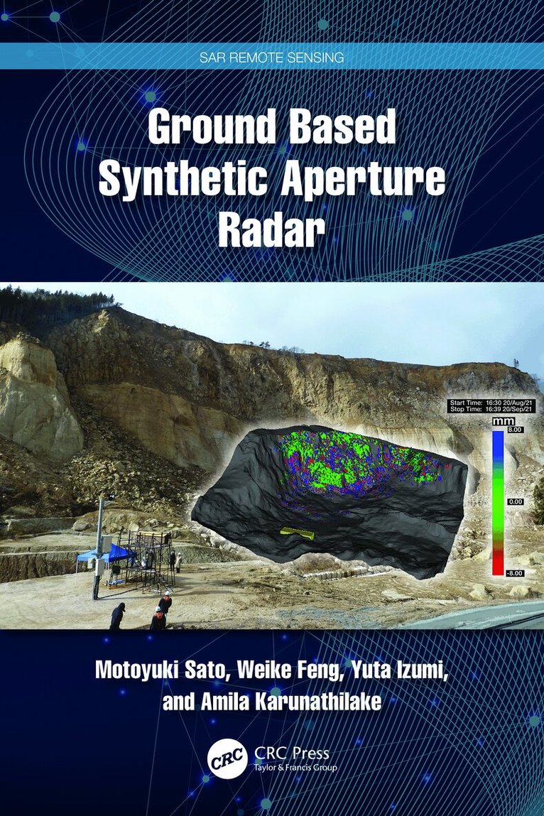
Ground based synthetic aperture radar (GB-SAR) is used to effectively mitigate natural disasters and monitor social infrastructure such as bridges, dams, and airport pavement surfaces. This book explains the fundamentals of radar technology, the principles of synthetic aperture radar (SAR) image generation, and interferometric SAR (InSAR) processing for observing small ground surface deformation less than 1 mm. More advanced multiple-input multiple-output (MIMO) radar for ground surface observation is introduced. The authors also provide examples of GB-SAR used for monitoring landslide and vegetation to show its potential and limitations. Understanding this advanced technology and its applications will help readers plan and install GB-SAR systems in real-life projects.Features:Introduces GB-SAR, an advanced tool that measures in-millimeter ground surface displacement.Explains how the GB-SAR system can be installed for landslide monitoring.Provides a new radar technology that monitors vibrations of infrastructure remotely.Discusses the advanced radar technology related to polarimetry and interferometry.Includes several case studies applying the tools and techniques discussed to natural disasters, such as landslides, volcanoes, glaciers, and so on.This book is intended for civil professionals who deal with disaster mitigation and infrastructure monitoring and those in electrical engineering, including radar technology. It is also an excellent resource for upper-level undergraduate and graduate students taking courses in remote sensing and photogrammetry, geography, geodesy, information science, engineering, and geology, as well as researchers and scientists interested in learning the techniques and technologies for collecting, analyzing, managing, and visualizing geospatial data sets.
- Nyhet
Häftad, Engelska, 2026
798 kr
Skickas inom 10-15 vardagar
Ground based synthetic aperture radar (GB-SAR) is used to effectively mitigate natural disasters and monitor social infrastructure such as bridges, dams, and airport pavement surfaces. This book explains the fundamentals of radar technology, the principles of synthetic aperture radar (SAR) image generation, and interferometric SAR (InSAR) processing for observing small ground surface deformation less than 1 mm. More advanced multiple-input multiple-output (MIMO) radar for ground surface observation is introduced. The authors also provide examples of GB-SAR used for monitoring landslide and vegetation to show its potential and limitations. Understanding this advanced technology and its applications will help readers plan and install GB-SAR systems in real-life projects.Features:Introduces GB-SAR, an advanced tool that measures in-millimeter ground surface displacement.Explains how the GB-SAR system can be installed for landslide monitoring.Provides a new radar technology that monitors vibrations of infrastructure remotely.Discusses the advanced radar technology related to polarimetry and interferometry.Includes several case studies applying the tools and techniques discussed to natural disasters, such as landslides, volcanoes, glaciers, and so on.This book is intended for civil professionals who deal with disaster mitigation and infrastructure monitoring and those in electrical engineering, including radar technology. It is also an excellent resource for upper-level undergraduate and graduate students taking courses in remote sensing and photogrammetry, geography, geodesy, information science, engineering, and geology, as well as researchers and scientists interested in learning the techniques and technologies for collecting, analyzing, managing, and visualizing geospatial data sets.
Inbunden, Engelska, 2024
2 069 kr
Skickas inom 10-15 vardagar
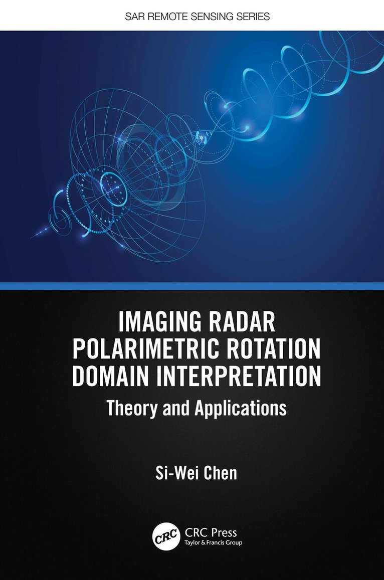
Polarimetric rotation domain interpretation is an innovation in radar image processing and understanding. Orientation rotation is a basic operator well known in the classic polarimetry theory, and significant advancement has been made in recent years. This book presents new and advanced concepts, theories, and methodologies in radar polarimetry and bridges the gaps between target scattering diversity, polarimetric radar data, and their practical applications. It provides a comprehensive summarization and investigation of polarimetric rotation domain features and demonstrates novel applications of polarimetric radar target detection, classification, target structure recognition, and urban damage mapping.FEATURES Focuses on basic concepts, key techniques, and various applications of the polarimetric rotation domain interpretation paradigm for the first time in book form Explains, represents, and utilizes the radar target scattering diversity effect Identifies new methods for target polarimetric scattering mechanism understanding Provides a comprehensive investigation of polarimetric roll-invariant features Includes novel application developments for imaging radar target detection, structure recognition, and damage mappingThis book is written for researchers and professionals in radar polarimetry, radar imaging, microwave remote sensing, environmental studies, and other related fields. Senior undergraduate and postgraduate students, as well as teachers in the same fields, will benefit from the advancements highlighted in this book.
Häftad, Engelska, 2026
798 kr
Skickas inom 10-15 vardagar
Polarimetric rotation domain interpretation is an innovation in radar image processing and understanding. Orientation rotation is a basic operator well known in the classic polarimetry theory, and significant advancement has been made in recent years. This book presents new and advanced concepts, theories, and methodologies in radar polarimetry and bridges the gaps between target scattering diversity, polarimetric radar data, and their practical applications. It provides a comprehensive summarization and investigation of polarimetric rotation domain features and demonstrates novel applications of polarimetric radar target detection, classification, target structure recognition, and urban damage mapping.FEATURES Focuses on basic concepts, key techniques, and various applications of the polarimetric rotation domain interpretation paradigm for the first time in book form Explains, represents, and utilizes the radar target scattering diversity effect Identifies new methods for target polarimetric scattering mechanism understanding Provides a comprehensive investigation of polarimetric roll-invariant features Includes novel application developments for imaging radar target detection, structure recognition, and damage mappingThis book is written for researchers and professionals in radar polarimetry, radar imaging, microwave remote sensing, environmental studies, and other related fields. Senior undergraduate and postgraduate students, as well as teachers in the same fields, will benefit from the advancements highlighted in this book.
Inbunden, Engelska, 2018
2 973 kr
Skickas inom 10-15 vardagar
Sixty years after its birth, Synthetic Aperture Radar (SAR) evolved as a key player of earth observation, and it is continually upgraded by enhanced hardware functionality and improved overall performance in response to user requirements. The basic information gained by SAR includes the backscattering coefficient of targets, their phases (the truncated distance between SAR and its targets), and their polarization dependence. The spatiotemporal combination of the multiple data operated on the satellite or aircraft significantly increases its sensitivity to detect changes on earth, including temporal variations of the planet in amplitude and the interferometric change for monitoring disasters; deformations caused by earthquakes, volcanic activity, and landslides; environmental changes; ship detection; and so on. Earth-orbiting satellites with the appropriate sensors can detect environmental changes because of their large spatial coverage and availability.Imaging from Spaceborne and Airborne SARs, Calibration, and Applications provides A-to-Z information regarding SAR researches through 15 chapters that focus on the JAXA L-band SAR, including hardware description, principles of SAR imaging, theoretical description of SAR imaging and error, ScanSAR imaging, polarimetric calibration, inflight antenna pattern, SAR geometry and ortho rectification, SAR calibration, defocusing for moving targets, large-scale SAR imaging and mosaic, interferometric SAR processing, irregularities, application, and forest estimation. Sample data are created by using L-band SAR, JERS-1, PALSAR, PALSAR-2, and Pi-SAR-L2.This book is based on the author’s experience as a principal researcher at JAXA with responsibilities for L-band SAR operation and researches. It reveals the inside of SAR processing and application researches performed at JAXA, which makes this book a valuable reference for a wide range of SAR researchers, professionals, and students.
Inbunden, Engelska, 2020
2 436 kr
Skickas inom 10-15 vardagar
Radar scattering and imaging of rough surfaces is an active interdisciplinary area of research with many practical applications in fields such as mineral and resource exploration, ocean and physical oceanography, military and national defense, planetary exploration, city planning and land use, environmental science, and many more. By focusing on the most advanced analytical and numerical modeling and describing both forward and inverse modeling, Radar Scattering and Imaging of Rough Surfaces: Modeling and Applications with MATLAB® connects the scattering process to imaging techniques by vivid examples through numerical and experimental demonstrations and provides computer codes and practical uses. This book is unique in its simultaneous treatment of radar scattering and imaging.Key Features Bridges physical modeling with simulation for resolving radar imaging problems (the first comprehensive work to do so) Provides excellent basic and advanced information for microwave remote-sensing professionals in various fields of science and engineering Covers most advanced analytical and numerical modeling for both backscattering and bistatic scattering Includes MATLAB® codes useful not only for academics but also for radar engineers and scientists to develop tools applicable in different areas of earth studiesCovering both the theoretical and the practical, Radar Scattering and Imaging of Rough Surfaces: Modeling and Applications with MATLAB® is an invaluable resource for professionals and students using remote sensing to study and explain the Earth and its processes. University and research institutes, electrical and radar engineers, remote-sensing image users, application software developers, students, and academics alike will benefit from this book.The author, Kun-Shan Chen, is an internationally known and respected engineer and scientist and an expert in the field of electromagnetic modeling.