
Series In Remote Sensing – serie
Visar alla böcker i serien Series In Remote Sensing. Handla med fri frakt och snabb leverans.
5 produkter
5 produkter
Del 5 - Series In Remote Sensing
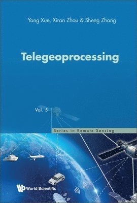
Telegeoprocessing
Inbunden, Engelska, 2023
1 804 kr
Skickas inom 3-6 vardagar
Telegeoprocessing is the integration of remote sensing, Geographic Information System (GIS), Global Navigation Satellite System (GNSS), Big Data and Telecommunication.This unique compendium brings together most of the key issues involved in research in novel systems in telegeoprocessing. It elucidates a comprehensive introduction to the problems encountered in telegeoprocessing engineering and the major technologies and standards related to designing an integrated, fully functional telegeoprocessing system based on the latest multimedia and telecommunication technologies.The useful cross-disciplinary reference text benefits teachers and researchers in both universities and research organizations, and for anyone keen in the impact of Earth observation, big data, geoinformatics in civil communities and human societies.
Del 1 - Series In Remote Sensing
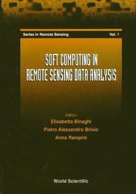
Soft Computing In Remote Sensing Data Analysis - Proceedings Of The International Workshop
Inbunden, Engelska, 1996
1 511 kr
Tillfälligt slut
Soft computing is a new emerging discipline rooted in a group of technologies, such as knowledge-based systems, neural networks, fuzzy set theory, probabilistic and evidential approaches, genetic algorithms, that have the common characteristic of mimicking the remarkable human ability in making decisions in an environment of uncertainty and imprecision. Encouraged by the growing interest in soft computing and by the scientific effort already developed within the remote sensing community, the International Workshop on Soft Computing in Remote Sensing Data Analysis held in Milan on December 4-5, 1995, brought together researchers and scientists engaged in related themes. Papers presented at the Workshop are grouped in this volume into four sections. The first section contains plenary lectures, the others open with two invited papers and deal with remote sensing classification by neural networks and fuzzy sets, symbolic approaches in geographic information processing, and remote sensing image analysis respectively.
Del 2 - Series In Remote Sensing
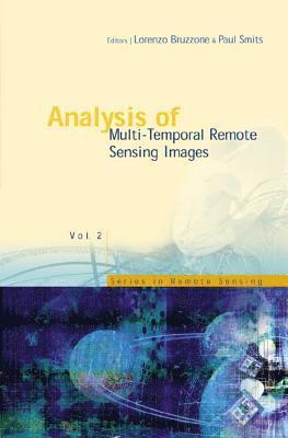
Analysis Of Multi-temporal Remote Sensing Images - Proceedings Of The First International Workshop On Multitemp 2001
Inbunden, Engelska, 2002
2 637 kr
Tillfälligt slut
The development of effective methodologies for the analysis of multi-temporal data is one of the most important and challenging issues that the remote sensing community will face in the next few years. The relevance and timeliness of this issue are directly related to the ever-increasing quantity of multi-temporal data provided by the numerous remote sensing satellites that orbit our planet. The synergistic use of multi-temporal remote sensing data and advanced analysis methodologies results in the possibility of solving complex problems related to the monitoring of the Earth's surface and atmosphere.This book brings together the methodological aspects of multi-temporal remote sensing image analysis, real applications and end-user requirements, presenting the state of the art in this field and contributing to the definition of common research priorities. Researchers and graduate students in the fields of remote sensing, image analysis, and environmental monitoring will appreciate the interdisciplinary approach thanks to the articles written by experts from different scientific communities.
Del 4 - Series In Remote Sensing
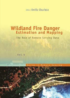
Wildland Fire Danger Estimation And Mapping: The Role Of Remote Sensing Data
Inbunden, Engelska, 2003
2 140 kr
Tillfälligt slut
The book presents a wide range of techniques for extracting information from satellite remote sensing images in forest fire danger assessment. It covers the main concepts involved in fire danger rating, and analyses the inputs derived from remotely sensed data for mapping fire danger at both the local and global scale. The questions addressed concern the estimation of fuel moisture content, the description of fuel structural properties, the estimation of meteorological danger indices, the analysis of human factors associated with fire ignition, and the integration of different risk factors in a geographic information system for fire danger management.
Del 3 - Series In Remote Sensing
Analysis Of Multi-temporal Remote Sensing Images, Proceedings Of The Second International Workshop On The Multitemp 2003
Inbunden, Engelska, 2004
2 428 kr
Tillfälligt slut
The development of effective methodologies for the analysis of multi-temporal data is one of the most important and challenging issues that the remote sensing community will face in the coming years. Its importance and timeliness are directly related to the ever-increasing quantity of multi-temporal data provided by the numerous remote sensing satellites that orbit our planet. The synergistic use of multi-temporal remote sensing data and advanced analysis methodologies results in the possibility of solving complex problems related to the monitoring of the Earth's surface and atmosphere at different scales. However, the advances in the methodologies for the analysis of multi-temporal data have been significantly under-illuminated with respect to other remote sensing data analysis topics. In addition, the link between the end-users' needs and the scientific community needs to be strengthened.This volume of proceedings contains 43 contributions from researchers representing academia, industry and governmental organizations. It is organized into three thematic sections: Image Analysis and Algorithms; Analysis of Synthetic Aperture Radar Data; Monitoring and Management of Resources.