
World Mapping Project USA – serie
Visar alla böcker i serien World Mapping Project USA. Handla med fri frakt och snabb leverans.
7 produkter
7 produkter
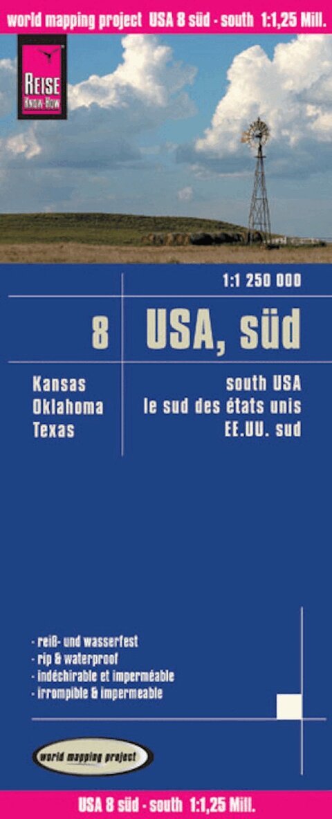
Del 8 - World Mapping Project USA
USA 08, South (1:1.250.000) : Kansas, Oklahoma, Texas
Engelska, 2008
123 kr
Skickas inom 3-6 vardagar
Highly tear-resistant and 100% waterproof map 'USA, South' from the series world mapping project, published by Reise Know-How Verlag. This map includes the U.S. states of Kansas, Oklahoma, and Texas. Travel know-how maps are characterized by particularly stable plastic paper, which is writable like paper, even with pencil. The cardboard envelope is removable, so the card can be easily inserted into any pocket. A protective cover is not required. The cartographic representation focuses on the most important information for travelers and is particularly easy to read. Instead of shading, colored height layers are used. Equipment: - Contour lines with altitude indications; - Coloured elevation layers; - Classified road network with distance indications; -Sights; - Detailed location index; - GPS-accurate; - latitude and longitude; - Legend in four languages (german, English, French, Spanish). Handy format: 70x100 cm, printed on 2 sides.
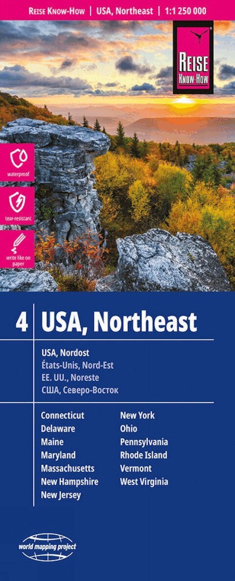
Del 4 - World Mapping Project USA
USA, Northeast (1:1.250.000) : Maine, Maryland, New York, Ohio, West Virginia, ...
Engelska, 2014
160 kr
Skickas inom 3-6 vardagar
Highly tear-resistant and 100% waterproof map 'USA, Northeast' from the series world mapping project, published by Reise Know-How Verlag. This map includes the U.S. states of Connecticut, Delaware, Maine, Maryland, Massachusetts, New Hampshire, New Jersey, New York, Ohio, Pennsylvania, Rhode Island, Vermont, and West Virginia. Travel know-how maps are characterized by particularly stable plastic paper, which is writable like paper, even with pencil. The cardboard envelope is removable, so the card can be easily inserted into any pocket. A protective cover is not required. The cartographic representation focuses on the most important information for travelers and is particularly easy to read. Instead of shading, colored height layers are used. Equipment: - Contour lines with altitude indications; - Coloured elevation layers; - Classified road network with distance indications; -Sights; - Detailed location index; - GPS-accurate; - latitude and longitude; - Five-language legend (german, English, French, Spanish, Russian). Handy format: 70x100 cm, printed on 2 sides. Languages: German, English, French, Spanish, Russian
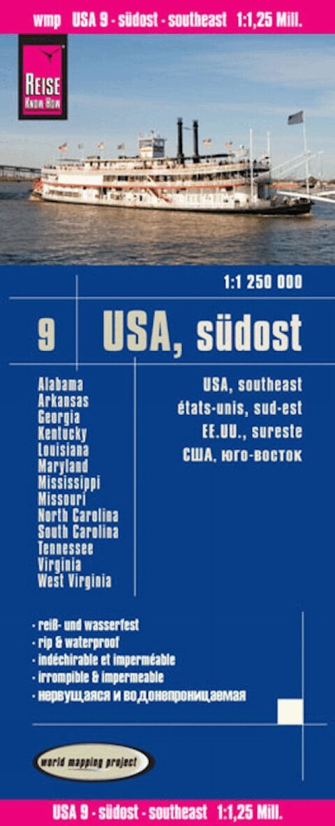
Del 9 - World Mapping Project USA
USA 09, South East (1:1.250.000) : Missouri, Kentucky, West Virginia, South Carolina, ...
Engelska, 2014
160 kr
Skickas inom 3-6 vardagar
Highly tear-resistant and 100% waterproof map 'USA, Southeast' from the series world mapping project, published by Reise Know-How Verlag. This map includes the US states of Alabama, Arkansas, Georgia, Kentucky, Louisiana, Maryland, Mississippi, Missouri, North Carolina, South Carolina, Tennessee, Virginia and West Virginia. Travel know-how maps are characterized by particularly stable plastic paper, which is writable like paper, even with pencil. The cardboard envelope is removable, so the card can be easily inserted into any pocket. A protective cover is not required. The cartographic representation focuses on the most important information for travelers and is particularly easy to read. Instead of shading, colored height layers are used. Equipment: - Contour lines with altitude indications; - Coloured elevation layers; - Classified road network with distance indications; -Sights; - Detailed location index; - GPS-accurate; - latitude and longitude; - Five-language legend (german, English, French, Spanish, Russian). Handy format: 70x100 cm, printed on 2 sides.
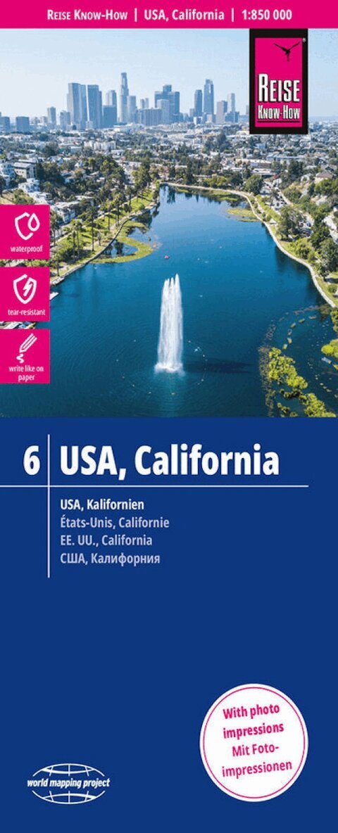
Del 6 - World Mapping Project USA
USA 06, California (1:850.000)
Engelska, 2018
160 kr
Skickas inom 3-6 vardagar
Highly tear-resistant and 100% waterproof map 'USA, California' from the series world mapping project, published by Reise Know-How Verlag. Travel know-how maps are characterized by particularly stable plastic paper, which is writable like paper, even with pencil. The cardboard envelope is removable, so the card can be easily inserted into any pocket. A protective cover is not required. The cartographic representation focuses on the most important information for travelers and is particularly easy to read. Instead of shading, colored height layers are used. Equipment: - Contour lines with altitude indications; - Coloured elevation layers; - Classified road network with distance indications; -Sights; - Detailed location index; - GPS-accurate; - latitude and longitude; - Five-language legend (german, English, French, Spanish, Russian); - Extra plan Los Angeles and surroundings; - This map also includes parts of Nevada with Las Vegas and Reno. Handy format: 70x100 cm, printed on 2 sides. Languages: German, English, French, Spanish, Russian
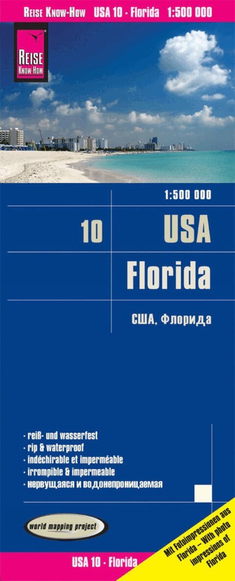
Del 10 - World Mapping Project USA
USA 10, Florida (1:500.000)
Engelska, 2019
136 kr
Skickas inom 3-6 vardagar
Highly tear-resistant and 100% waterproof map 'USA, Florida' from the series world mapping project, published by Reise Know-How Verlag. Travel know-how maps are characterized by particularly stable plastic paper, which is writable like paper, even with pencil. The cardboard envelope is removable, so the card can be easily inserted into any pocket. A protective cover is not required. The cartographic representation focuses on the most important information for travelers and is particularly easy to read. Instead of shading, colored height layers are used. Equipment: - Contour lines with altitude indications; - Coloured elevation layers; - Classified road network with distance indications; -Sights; - Detailed location index; - GPS-accurate; - latitude and longitude; - Five-language legend (german, English, French, Spanish, Russian). Handy format: 70x100 cm, printed on 2 sides. NEW: This map contains - as an aid in travel planning - photos of important sights including indication of the square in which the corresponding place is located. Languages: German, English, French, Spanish, Russian
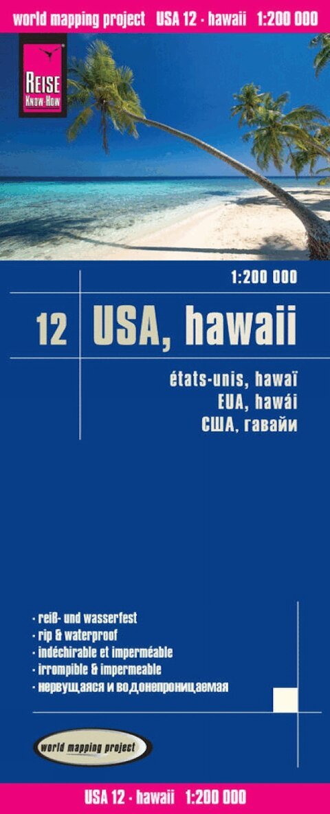
Del 12 - World Mapping Project USA
USA 12, Hawaii (1:200.000)
Engelska, 2016
136 kr
Skickas inom 3-6 vardagar
Highly tear-resistant and 100% waterproof map 'USA, Hawaii' from the series world mapping project, published by Reise Know-How Verlag. Travel know-how maps are characterized by particularly stable plastic paper, which is writable like paper, even with pencil. The cardboard envelope is removable, so the card can be easily inserted into any pocket. A protective cover is not required. The cartographic representation focuses on the most important information for travelers and is particularly easy to read. Instead of shading, colored height layers are used. Equipment: - Contour lines with altitude indications; - Coloured elevation layers; - Classified road network with distance indications; -Sights; - Detailed location index; - GPS-accurate; - latitude and longitude; - UTM grid; - Legend in four languages (german, English, French, Spanish); - 4 partial maps, overview map of the archipelago. Handy format: 70x100 cm, printed on 2 sides. Languages: German, English, French, Spanish, Russian
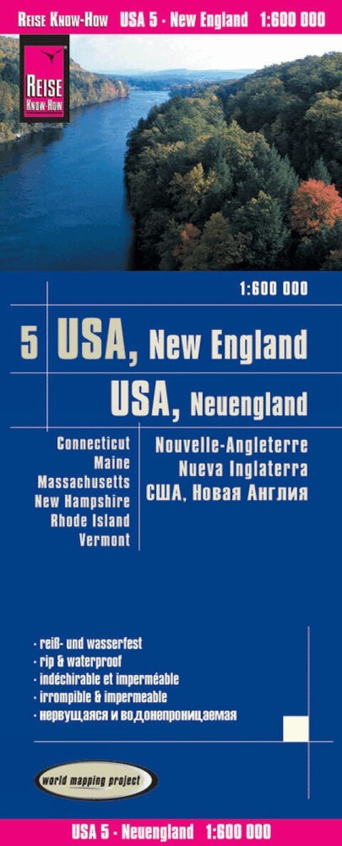
Del 5 - World Mapping Project USA
USA 05, New England (1:600.000) : Connecticut, Maine, Massachusetts, New Hampshire, Rhode Island, Vermont
Connecticut, Maine, Massachusetts, New Hampshire, Rhode Island, Vermont
Engelska, 2017
132 kr
Skickas inom 3-6 vardagar
Highly tear-resistant and 100% waterproof map 'USA, New England' from the series world mapping project, published by Reise Know-How Verlag. This map includes the US states of Connecticut, Maine, Massachusetts, New Hampshire, Rhode Island and Vermont Travel Know-How Maps are characterized by particularly strong plastic paper, which is writable like paper, even with pencil. The cardboard envelope is removable, so the card can be easily inserted into any pocket. A protective cover is not required. The cartographic representation focuses on the most important information for travelers and is particularly easy to read. Instead of shading, colored height layers are used. Equipment: - Contour lines with altitude indications; - Coloured elevation layers; - Classified road network with distance indications; -Sights; - Detailed location index; - GPS-accurate; - latitude and longitude; - Five-language legend (german, English, French, Spanish, Russian). Handy format: 70x100 cm, printed on 2 sides. Languages: German, English, French, Spanish, Russian