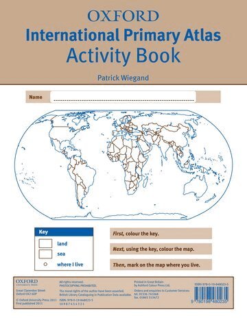
Oxford International Primary Atlas
Häftad, Engelska, 2011
129 kr
Skickas . Fri frakt över 249 kr.
Beskrivning
The Oxford International Primary Atlas is a clear, bright, and informative atlas designed for primary learners. This new edition includes up-to-date country data, easy-to-read colourful mapping, and worldwide topographic content, including regions such as Europe, Malta, Cyprus, Middle East, Malaysia, and Hong Kong.Key Features:• Comprehensive Coverage: Clear maps of the world and all continents, plus stunning aerial photographs and satellite images.• Curriculum-Aligned Themes: Landscapes, water, settlements, connections, and environments.• Accessible Design: Layout based on research into how children use maps, with colourful photographs and attractive artwork.• Learning Support: Learning statements introduce each theme, focus panels prompt enquiry, and innovative grid codes help children find places.• Interactive Learning: Accompanied by an Activity Book for independent work to develop map literacy skills.This atlas combines rigorous content with engaging visuals, making it the ideal resource for developing geographical knowledge and map skills.