Remote Sensing of Wetlands
Applications and Advances
AvRalph W. Tiner,Megan W. Lang
2 758 kr
Läs direkt i Bokus Reader – eller ladda ned till din enhet
Beskrivning
Produktinformation
- Utgivningsdatum:2015-03-23
- Språk:Engelska
- Filformat:EPUB
- Kopieringsskydd:LCP
- ISBN:9781040075258
- Förlag:Taylor & Francis Ltd
Utforska kategorier
Mer om författaren
Ralph W. Tiner recently retired from the U.S. Fish and Wildlife Service (FWS) where he served as regional wetland coordinator for the Northeast Region, Hadley, Massachusetts. He has been mapping wetlands since 1970, first as a graduate student at the University of Connecticut, then with the State of South Carolina, and finally as part of the FWS's National Wetlands Inventory Program. Through his participation on national committees, he has helped standardize on-the-ground wetland delineation practices for implementing federal wetland regulations in the United States. He is editor of the Wetland Science and Practice journal and the author of over 200 publications.Megan W. Langis a research associate professor at the Department of Geographical Sciences, University of Maryland, College Park, Maryland. Her career in wetland sciences began in 1996, as an undergraduate student researching succession in abandoned rice fields while at the College of Charleston, South Carolina. She leads the U.S. Department of Agriculture Mid-Atlantic Wetland Conservation Effects Assessment Project, serves as an associate editor for the journal Wetlands, and has published over 40 scientific articles and book chapters. She has also helped to develop wetland monitoring strategies for the state of Maryland and the United States.Victor V. Klemasis professor emeritus at the School of Marine Science and Policy, University of Delaware, Newark, Delaware. Since 1976, he has directed the university's Center for Remote Sensing, where he pioneered the application of a wide range of remote sensing techniques in the study of wetland and estuarine ecosystems in the United States and overseas. Dr. Klemas has published his research results in 120 scientific journal articles and coauthored several books. He has also served on six scientific committees of the National Research Council (National Academy of
Recensioner i media
"… an important reference for operational wetlands mappers. Over the years, I have been told you should be using this technology instead of the one we were using at the time. A book like this would have provided an overview of the technology and more importantly the names of the experts."—Bill O. Wilen, PhD, USFWS, National Wetlands Inventory[this book] encompasses information essential to anyone engaged in either identifying and/or understanding wetlands using remote imagery. It brings together in one place a critical examination of the strengths and shortcomings of the many types of imagery available today. It explores the opportunity to combine various types of remote imagery to describe and analyze wetlands. It includes extensive case studies of the application of remote sensing imagery by wetland type."—Jeanne Christie, Association of State Wetland Managers"Remote Sensing of Wetlands – Applications and Advances is a very suitable primer for the person new to this domain, but should be required as a definitive cornerstone for the development of academic programs dealing with wetland mapping. The depth and breadth of coverage achieved by the editors make this volume indispensable and essential to any scholarly effort aimed at applying remote sensing to the mapping, study, understanding and preservation of these complex, valuable and endangered ecosystems."—Photogrammetric Engineering & Remote Sensing, December 2016
Innehållsförteckning
- Challenges in Mapping Wetlands. Advances in Wetland Mapping Technology. Combining LiDAR and optical imagery with Object-based Image Analysis to Map Wetlands. Wetland InSAR. Classification of Wetlands by Combining Optical and SAR Data. Utility of Moderate Resolution Satellite Data in Tidal Wetland Mapping. Mapping and Monitoring Wetland with SAR. Remote Sensing of Submerged Aquatic Vegetation and Coral Reefs. Remote Sensing of Mangroves. Salt Marsh Classification Approaches and Future Mapping Methods. Great Lakes Coastal Wetland Mapping. Mapping Surface Water Variance in the Prairie Potholes with Landsat Data. Mapping the State and Dynamics of Boreal Wetlands using Synthetic Aperture Radar. Invasive Species Mapping. Global Wetland Mapping.
Du kanske också är intresserad av
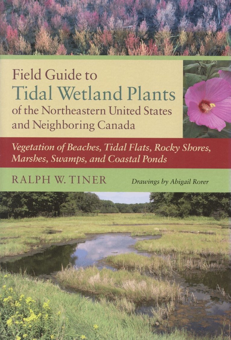
- -23%
Den långa bluffen : myter om Sverige, arbete och invandring
Christian Lindell, Alex Voronov
Häftad, 2026
239 kr309 kr