

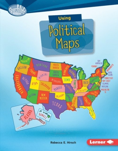
Using Political Maps
E-bok
PDF, Engelska, 2016668 kr
Läs direkt i Bokus Reader – eller ladda ned till din enhet (PDF kräver ofta zoom och scroll på små skärmar).
Fler format och utgåvor
Beskrivning
Ever wonder what the capital of Alaska is? Or how many states share a border with New York? Political maps show state and national boundaries. They include major cities and places created by people. But how do you use political maps? And what map features help you answer geographical questions? Read on to become a map genius!
Produktinformation
Utforska kategorier


Hoppa över listan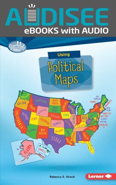


Du kanske också är intresserad av
- Nyhet
Del 4
- Nyhet
- 4 för 3
Del 1
- 4 för 3
Del 1
- -19%
- 4 för 3
- -30%
Del 1
- -23%