
long distance routes Germany, Hiking map 1:800.000, freytag
166 kr
Beställningsvara. Skickas inom 3-6 vardagar. Fri frakt över 249 kr.
Beskrivning
The map of Germany's long-distance hiking trails is ideal for inspiration or for concrete planning of your next long-distance or long-distance hike. Whether in short stages or in one go, whether alone, in pairs or in a group, Germany's nature can be wonderfully explored along the long-distance hiking trails. In addition to 30 Ways of St. James, all known long-distance hiking trails are of course marked. These include, for example: Goldsteig, 66-lake hiking trail, Heidschnuckenweg, Altmühltal Panoramaweg, Eifelsteig, Kammweg, Moselsteig, Rennsteig, Hermannsweg, Baltic Sea coast hiking trail, etc. Content of the long-distance hiking trail map Germany German long-distance hiking trails European long-distance hiking trails Jakobswege GPX-Tracks zum Download Scale 1:800,000 Waterproof and tear resistant 61 x 90 cm, printed on both sides Waterproof and tear-resistant The map is printed on a special waterproof and durable paper so that it can also be used for orientation on rainy days. Manufactured in a way that conserves resources The map consists of 80% ground limestone. The production is much more resource-saving than with conventional paper because the consumption of water, wood and energy is significantly lower.
Produktinformation
Utforska kategorier
Hoppa över listan
Mer från samma serie
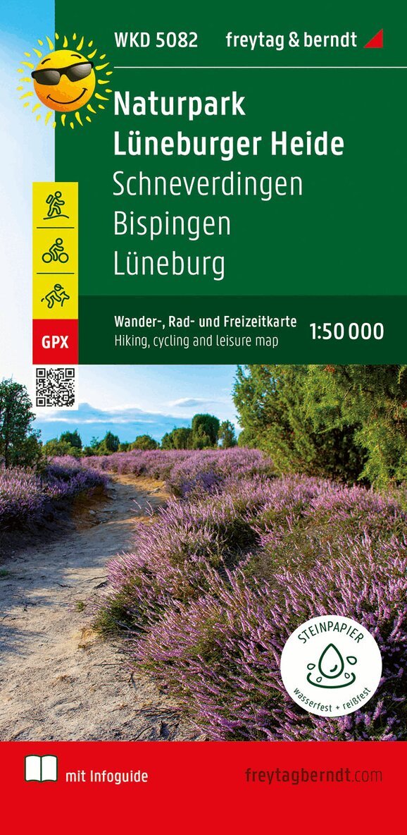
Lüneburger Park, Walking-, Bike- and Leisure map 1:50.000, f
Freytag-Berndt, Freytag-Berndt und Artaria KG
166 kr
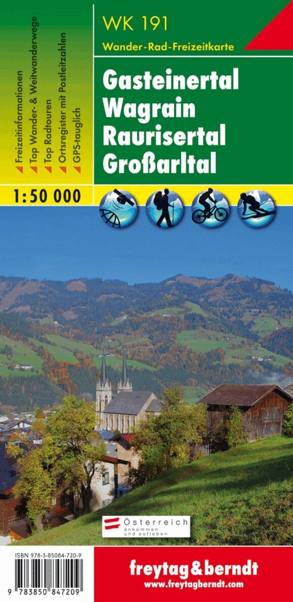
WK 191 Gastatal - Wagrain - Raurisertal - Largearltal, Walki
Freytag-Berndt, Freytag-Berndt und Artaria KG
166 kr
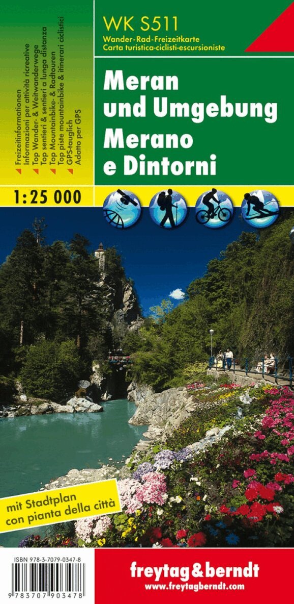
WK S511 Meran and the surrounding area, Walking map 1:25.000
Freytag-Berndt, Freytag-Berndt und Artaria KG
166 kr
Hoppa över listan

Du kanske också är intresserad av
- Nyhet
WKD 4 Garmisch-Partenkirchen - weatherstein Mountains - Werd
Freytag-Berndt, Freytag-Berndt und Artaria KG
162 kr
WK S511 Meran and the surrounding area, Walking map 1:25.000
Freytag-Berndt, Freytag-Berndt und Artaria KG
166 kr