
WKD 4 Garmisch-Partenkirchen - weatherstein Mountains - Werd
AvFreytag-Berndt,Freytag-Berndt und Artaria KG
Engelska, 2017
Del i serien freytag & berndt Wanderkarte
166 kr
Beställningsvara. Skickas inom 3-6 vardagar. Fri frakt över 249 kr.
Beskrivning
Thanks to the detailed digital cartography and the precise scales, freytag & berndt hiking maps are ideal companions for hiking, mountaineering and ski tours. The hiking map WKD 4 'Garmisch-Partenkirchen - Wettersteingebirge - Werdenfelser Land 1:25,000' is revised regularly and contains updated information on hiking trails, cycle and mountain bike routes, huts, natural monuments, cultural sights and leisure facilities. A selection of the best hiking trails, cycle paths and mountain bike trails as well as a brief description of the individual communities with their leisure activities provide information on the back of the map about the diverse range of activities in the region. (Language: German) Leisure information, hiking and long-distance hiking trails, mountain bike and cycling tours, register of places with postcodes, GPS-compatible, via ferrata, ski route, cross-country route, double-sided; Region: Bavaria, Wetterstein Mountains, Zugspitze, Werdenfelser Land, Garmisch-Partenkirchen; Special themed hiking trails: Nordalpenweg, Via Alpina; Special bike and mountain bike tours: Bike Trail Tirol mountain bike route; Environment maps: WK 322, WK 352, WK 321, WK 241;
Produktinformation
Utforska kategorier
Hoppa över listan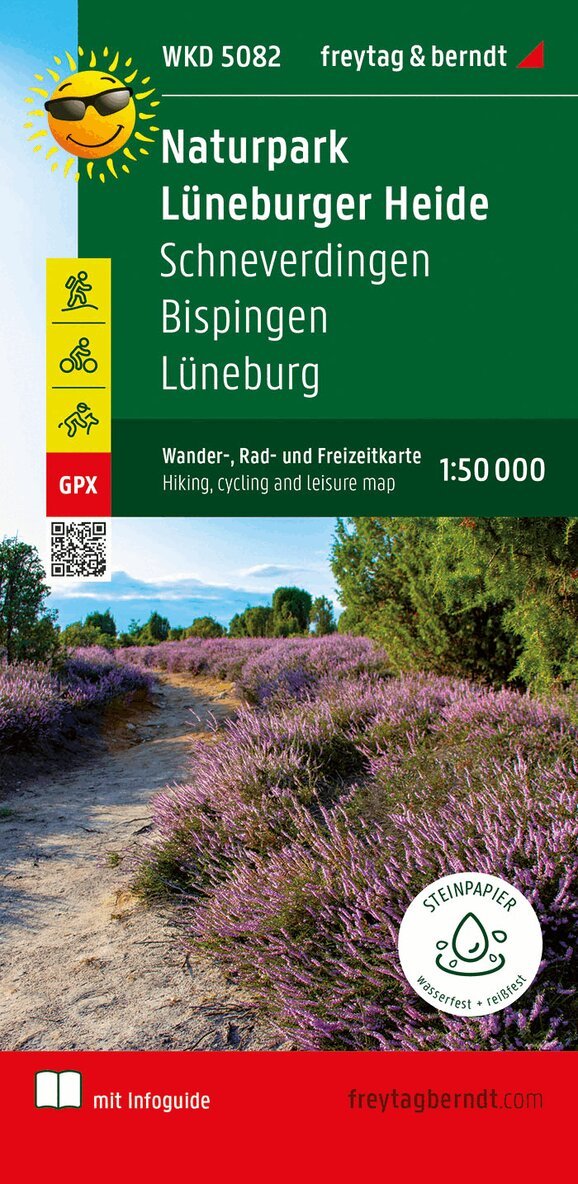
Mer från samma serie
Lüneburger Park, Walking-, Bike- and Leisure map 1:50.000, f
Freytag-Berndt, Freytag-Berndt und Artaria KG
166 kr
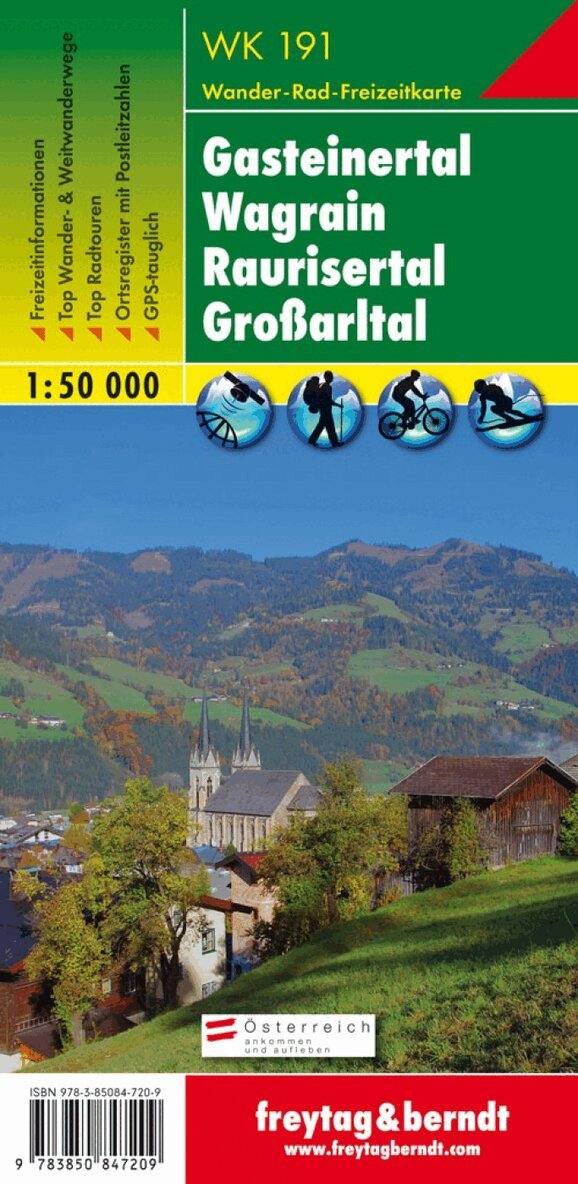
WK 191 Gastatal - Wagrain - Raurisertal - Largearltal, Walki
Freytag-Berndt, Freytag-Berndt und Artaria KG
166 kr
WK S511 Meran and the surrounding area, Walking map 1:25.000
Freytag-Berndt, Freytag-Berndt und Artaria KG
166 kr
Dachstein, Walking-, Bike- and Leisure map 1:50.000, freytag
Freytag-Berndt, Freytag-Berndt und Artaria KG
166 kr
Hoppa över listan

Du kanske också är intresserad av
WK S511 Meran and the surrounding area, Walking map 1:25.000
Freytag-Berndt, Freytag-Berndt und Artaria KG
166 kr
Mittelkärnten, Wander-, Rad- und Freizeitkarte 1:50.000, freytag & berndt, WK 231
Freytag & Berndt
166 kr
- Nyhet