
Freytag-Berndt und Artaria KG – författare
Visar alla böcker från författaren . Handla med fri frakt och snabb leverans.
20 produkter
20 produkter
166 kr
Skickas inom 3-6 vardagar
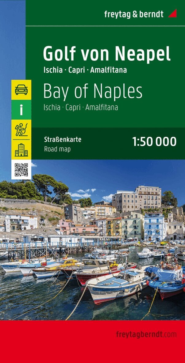
In addition to the clear design, the road map 'Gulf of Naples 1:50,000' offers a lot of additional information such as road conditions, sights, campsites and various city center maps. Details: Hiking trails, tourist information, double-sided, city maps: Amalfi, Capri, Ischia Ponte, Pompeii, Napoli City, Sorrento. freytag & berndt road maps are available for many countries and regions worldwide.
Engelska, 2020
162 kr
Skickas inom 3-6 vardagar
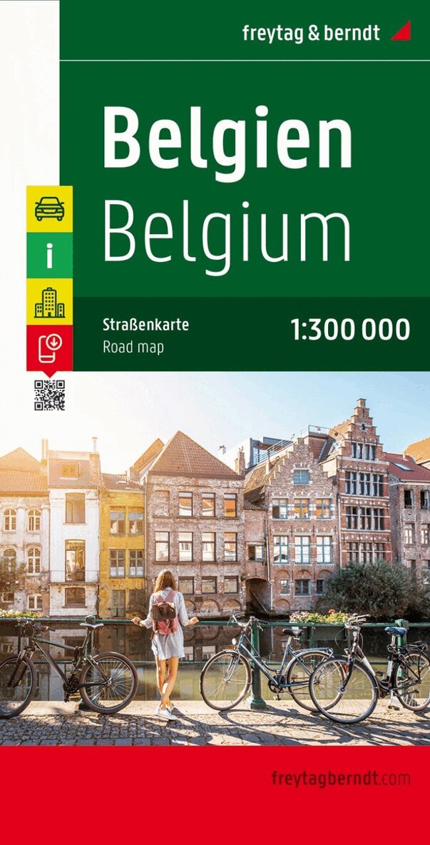
freytag & berndt car maps are available for many countries and regions worldwide. In addition to the clear design, the street maps have a lot of additional information such as street conditions, sights, campsites and various city center maps. The extensive location index also enables quick orientation. city ??maps of Brussels and Luxembourg; Tourist information, place index with postcodes;
166 kr
Skickas inom 3-6 vardagar
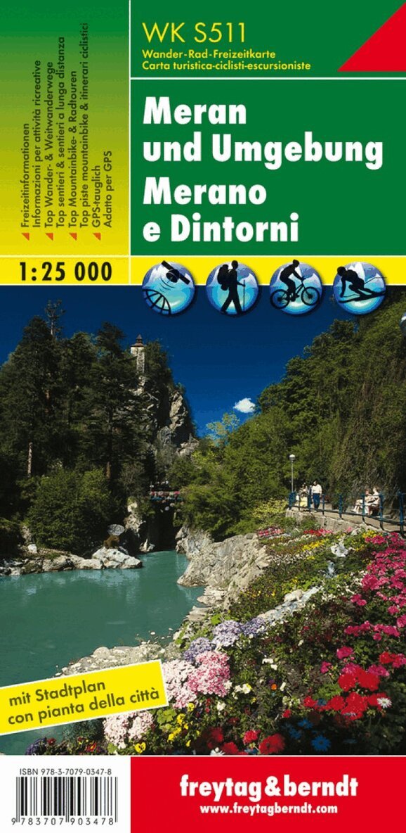
Thanks to the detailed digital cartography and the precise scales, freytag & berndt hiking maps are ideal companions for hiking, mountaineering and ski tours. They are regularly revised and contain updated information on hiking trails, cycling and mountain biking routes, huts, natural monuments, cultural sights and leisure facilities. A selection of the best hiking trails, cycle paths and mountain bike trails as well as a brief description of the individual communities with their leisure activities provide information on the back of the map about the diverse range of activities in the region. (Language: German, Italian) Leisure information, hiking and long-distance hiking trails, mountain bike and cycling tours, register of places with postcodes, GPS-compatible, via ferrata, ski route, cross-country route; Region: Meran, Merano, Adige Valley, Passeier Valley, Sarntal Alps, Texel Group Nature Park, South Tyrol, Trentino Alto Adige, Italy, Italia; Special themed hiking trails: Meraner Höhenweg, Via Alpina, Great Horseshoe Tour, Grande Giro del Fero die Cavallo, Via Claudia Augusta, Tappeinerweg, Passegiata Tappeiner, Waalwege, Sentieri delle rogge; Special cycle and mountain bike tours: Passeier Valley Cycle Path, Adige Cycle Path, Via Claudia Augusta, South Tyrolean Apple Cycle Path; Environment maps: WK S1, WK S2, WK 251; Via Claudia Augusta, South Tyrolean Apple Cycle Path; Environment maps: WK S1, WK S2, WK 251; Via Claudia Augusta, South Tyrolean Apple Cycle Path; Environment maps: WK S1, WK S2, WK 251;
Engelska, 2019
162 kr
Skickas inom 3-6 vardagar
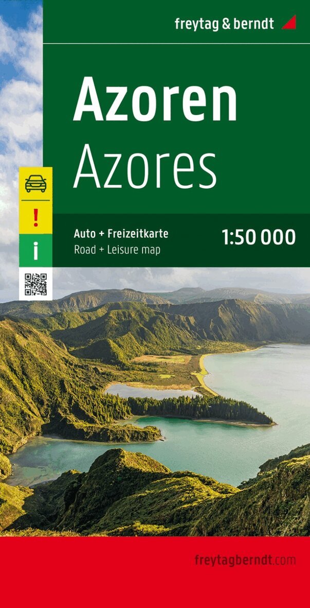
In addition to the clear design, the 'Azores 1:50,000' road map has a great deal of additional information such as road conditions, sights and campsites. The extensive location index also enables quick orientation. The enclosed, multilingual leisure guide offers information on special and worth seeing excursion destinations on the islands. (Languages: Portuguese, German, English, French, Italian, Spanish, Dutch, Czech, Slovak, Hungarian). Special excursion destinations, leisure guide, index of places with post code, GPS, hiking trails, double-sided; freytag & berndt car maps are available for many countries and regions worldwide.
Engelska, 2018
163 kr
Skickas inom 3-6 vardagar
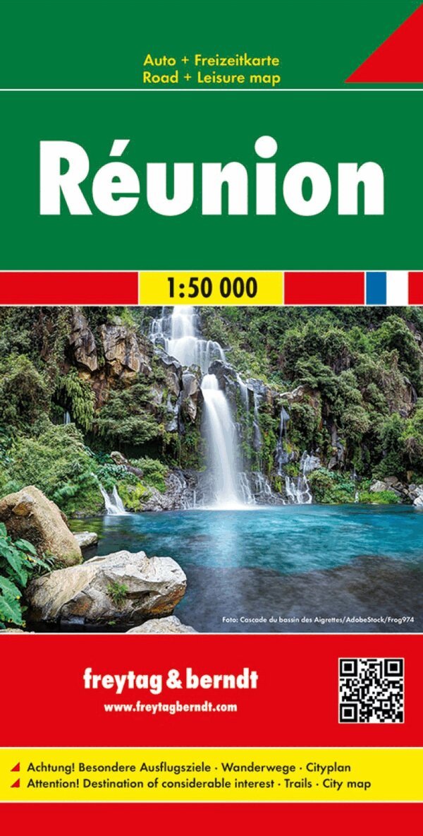
In addition to the clear design, the 'Road Map Réunion 1:50,000' has a lot of additional information such as road conditions, sights and campsites. The extensive location index also enables quick orientation. The enclosed leisure guide describes special excursion destinations in German and English. Danger! Special excursion destinations, hiking trails, city map of Saint Denis, index of places with GPS, double-sided; freytag & berndt car maps are available for many countries and regions worldwide.
Engelska, 2019
162 kr
Skickas inom 3-6 vardagar
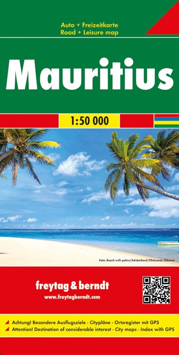
In addition to the clear design, the 'Mauritius Road Map 1:50,000' has a great deal of additional information such as road conditions, sights and campsites. The extensive location index also enables quick orientation. The enclosed leisure guide describes special excursion destinations in German and English. The map also shows the neighboring island of Rodrigues. Danger! Special excursion destinations, city maps, location index with GPS; freytag & berndt car maps are available for many countries and regions worldwide.
Engelska, 2017
108 kr
Skickas inom 3-6 vardagar
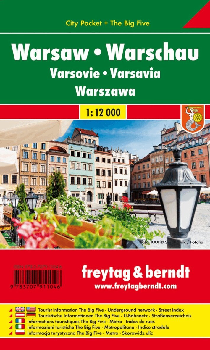
freytag & berndt city maps are available for many international capitals as well as numerous cities and towns in Germany and abroad. With the handy folding plans and practical book plans, you can easily find your way around anywhere thanks to the exact scales and the clear map image. The City Pocket Warsaw city map 1:12,000 offers a lot of additional information such as public transport and sights. You can also find every address in the extensive index. All content is of course updated regularly. The titles in the 'City Pocket' series are laminated and waterproof and, thanks to their handy format of 9 x 15 cm, fit in any pocket. Tourist information The Big Five: shopping, cuisine, culture, nightlife, sights; Area map, street directory. Danger:
166 kr
Skickas inom 3-6 vardagar
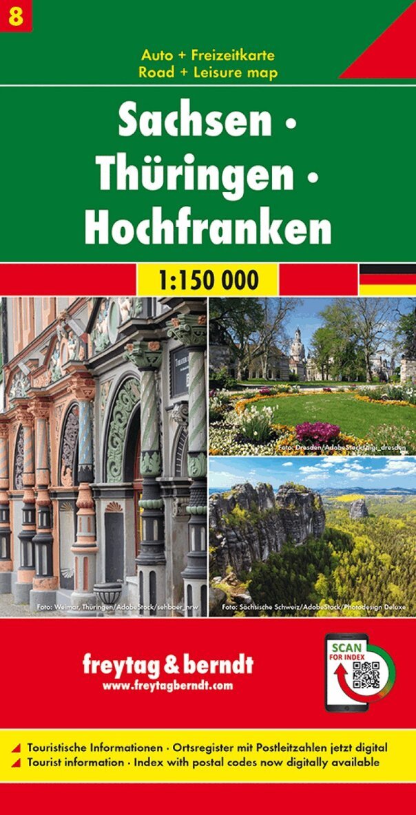
In addition to the clear design, the 'Saxony - Thuringia - Upper Franconia 1:150,000' road map has a great deal of additional information such as road conditions, sights, campsites and various city center maps. The extensive location index also enables quick orientation. Tourist information, register of places with postcodes Now with a digital index - call up all information quickly and conveniently on your cell phone! freytag & berndt car maps are available for many countries and regions worldwide.
Engelska, 2019
166 kr
Skickas inom 3-6 vardagar
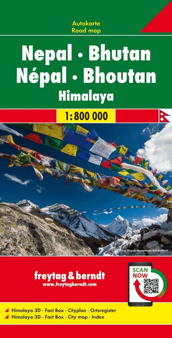
In addition to the clear design, the road map Nepal - Bhutan 1:800,000 offers a lot of additional information such as road conditions, sights and a map of the city center. The extensive location index also enables quick orientation. Details: Himalaya 3D, fact box, city map of Kathmandu, digital location index. freytag & berndt car maps are available for many countries and regions worldwide.
166 kr
Skickas inom 3-6 vardagar
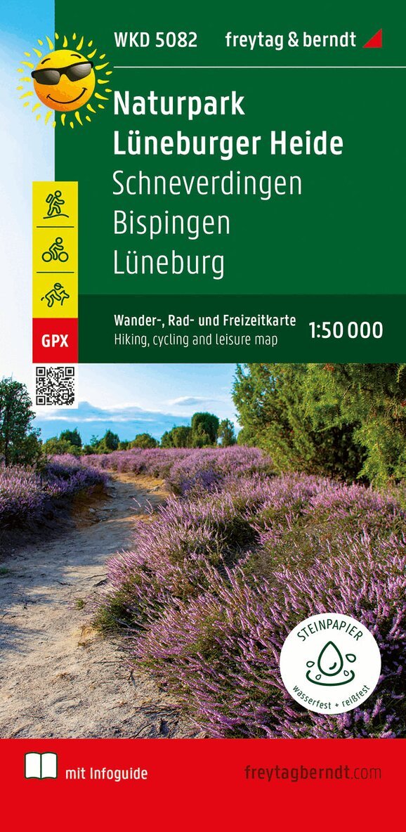
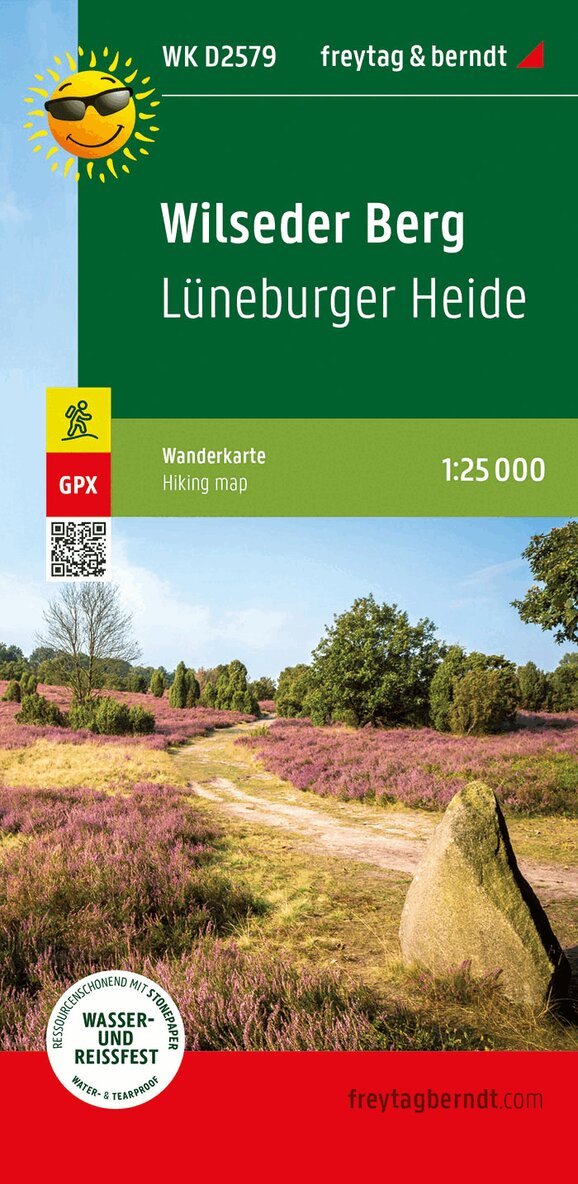
The Lüneburg Heath Nature Park hiking, cycling and leisure map covers the entire area on a scale of 1:50,000. In the north-east of the map is the district and Hanseatic city of Lüneburg, in the south-east the section extends to Ebstorf with its monastery of the same name. Heath towns and villages such as Schneverdingen and Bispingen are also shown on the map sheet. The Lüneburg Heath with its unique flora and fauna offers hikers, cyclists and horseback riders a real Eldorado with a variety of paths. The historic cultivated land is ideally suited to be explored on foot, by bike or on horseback. Information on the Lüneburg Heath Nature Park hiking map Hiking and long-distance hiking trails Cycle and long-distance cycle paths bridle paths GPX-Tracks zum Download Scale 1:50 000 Waterproof and tear resistant 70 x 82 cm, printed on both sides In a practical map sleeve with info guide Info guide The enclosed 'short & compact' info guide makes the region around the Lüneburg Heath Nature Park palatable for hikers and cyclists. Natural and cultural features, the development of the nature reserve and traditional management methods in the heath region are presented in more detail. Original heathland villages - above all car-free Wilsede - are waiting to be discovered. Small heath towns such as Schneverdingen and Soltau are ideal as a starting point for excursions to the heath region and the old salt and Hanseatic city of Lüneburg attracts with a large number of historical buildings. Heidschnuckenweg and Freudenthalweg, the two important long-distance hiking trails are described in more detail. Also, we have a choice of sixTop hikes with the most important facts about the route, a short description and an elevation profile included in the info guide. In addition to the Lüneburg Heath Tour and the Luhe Cycle Path, several long- distance cycle paths also run through the vast areas of the Lüneburg Heath Nature Park. The diverse range of cycle paths is supplemented by the heathland tours. A separate section is dedicated to these three themed cycle paths, rounded off by our three top cycle tours with route information, descriptions and elevation profiles. Waterproof and tear-resistant The hiking map is printed on a special waterproof and durable paper so that it can also be used for orientation on rainy days. Manufactured in a way that conserves resources The map consists of 80% ground limestone. The production is much more resource-saving than with conventional paper because the consumption of water, wood and energy is significantly lower.
162 kr
Skickas inom 3-6 vardagar
Thanks to the detailed digital cartography and the precise scales, freytag & berndt hiking maps are ideal companions for hiking and cycling. They are revised regularly and contain updated information on hiking trails, cycling and mountain biking trails, huts, vantage points, sights and leisure facilities.
166 kr
Skickas inom 3-6 vardagar
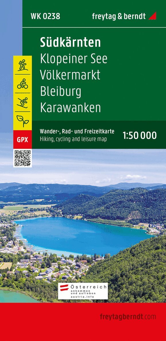
The Southern Carinthia hiking map on a scale of 1:50,000 is the ideal companion for excursions, hikes and bike tours in the Southern Carinthia-Klopeiner See holiday region. In addition, the hiking map also presents the eastern section of the Rosental with the gunsmith town of Ferlach, a large part of the Karawanken and the state capital of Klagenfurt am Wörthersee. The numerous existing regional hiking trails are supplemented by several long-distance hiking and pilgrimage trails, including the Southern Alpine Trail, the Julius Kugy Alpine Trail and the Hemma Pilgrimage Trail. Hikers are offered many opportunities to leave the hustle and bustle of everyday life behind and enjoy the beauty and diversity of the region. The hiking trails on the map are easy to follow thanks to the exact cartography by freytag & berndt and the ideal scale. Demanding passages such as climbs with climbing points are of course marked on the map. The Southern Carinthia hiking map is also perfect for pleasure cyclists and ambitious mountain bikers. In addition to demanding mountain bike routes, the course of the Drau Cycle Path with its side routes can also be easily followed. Information on the Southern Carinthia hiking map Hiking and long-distance hiking trails via ferratas Scale 1:50,000 Waterproof and tear resistant Drau cycle path with side routes Attractive excursion destinations 70 x 82 cm, printed on both sides GPX Tracks zum Download With info guide Info guide The 'short and compact' info guide offers not only a foray into the region but also an overview of the transnational UNESCO Geopark Karawanken. A wide range of offers ensure varied hours: Geopark information center in Bad Eisenkappel Nature trails and Geotrails Home mountain 'Underworld' of the sneaks Obir stalactite caves Troeger Gorge Pirkdorfer See Families in particular appreciate the southern Carinthia-Klopeiner See holiday region for its mild climate and beautiful bathing lakes with drinking water quality, including the Klopeiner See and the Turnersee, which are among the warmest bathing lakes in Europe. However, the region has many other attractive destinations to offer: Minimundus in Klagenfurt, Historama Ferlach technology museum, Tscheppa Gorge, the Benedictine monastery library in St. Paul im Lavanttal and Schlossberg Griffen. Waterproof and tear-resistant The map is printed on a special waterproof and durable paper so that it can also be used for orientation on rainy days. Resource-saving production The map consists of 80% ground limestone. The production is much more resource-saving than with conventional paper because the consumption of water, wood and energy is significantly lower.
166 kr
Skickas inom 3-6 vardagar
Thanks to the detailed digital cartography and the precise scales, freytag & berndt hiking maps are ideal companions for hiking and cycling. They are revised regularly and contain updated information on hiking trails, cycling and mountain biking trails, huts, vantage points, sights and leisure facilities.
166 kr
Skickas inom 3-6 vardagar
Thanks to the detailed digital cartography and the precise scales, freytag & berndt hiking maps are ideal companions for hiking and cycling. They are revised regularly and contain updated information on hiking trails, cycling and mountain biking trails, huts, vantage points, sights and leisure facilities..
Engelska, 2022
120 kr
Skickas inom 3-6 vardagar
The hiking map presents the Luneburg Heath Nature Park, which protects a cultural landscape that is five thousand years old. The car-free heath landscape, which is still cared for by Heidschnucken today, can be easily hiked with the help of the map. Around Bispingen alone there are seven hundred km of signposted cycling and hiking trails. Both long-distance and regional hiking trails are marked in the map section, which include the highest elevation in the region, the Wilseder Berg. Yellow flags indicate other tourist destinations such as the Heidegarten in Schneverdingen, the SnowDome near Bispingen or the natural adventure pool in Egestorf.
Engelska, 2026
166 kr
Skickas inom 3-6 vardagar
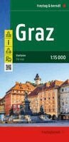
The 'Graz 1:15,000' city map offers a wealth of additional information, including public transport and points of interest. Every address can be found in the comprehensive index. The most important sights are briefly described in several languages. All content is regularly updated. Features include: one-way streets, tourist information, public transport, city centre map, and surrounding area map. Thanks to the precise scales and clear map layout, the handy fold-out maps and practical book-style maps make it easy to find your way around.

Engelska, 2026
166 kr
Skickas inom 3-6 vardagar
-Scale 1:150,000 -Tourist information -With information guide -Campsites -Local directory with postal codes The back cover features brief descriptions of the region's main attractions in several languages (German, English, French, Italian, Portuguese, Spanish).
166 kr
Skickas inom 3-6 vardagar
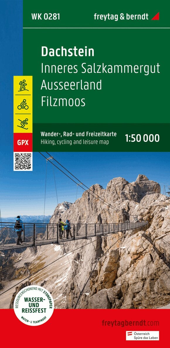
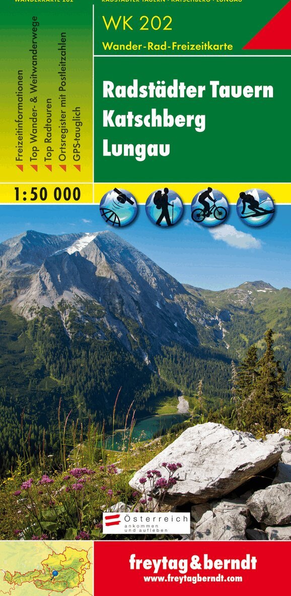
The WK 202 'Radstädter Tauern - Katschberg - Lungau 1:50,000' is revised regularly and contains updated information on hiking trails, cycle and mountain bike routes, huts, natural monuments, cultural sights and leisure facilities. The enclosed information booklet contains a selection of the best hiking trails, cycle paths and mountain bike routes as well as a brief description of the individual communities and their leisure activities. (Language: German) Leisure information, hiking and long-distance hiking trails, mountain bike and cycling tours, register of places with postcodes, GPS-compatible, via ferrata, ski route, cross-country route, Nordic walking route; Region: Murtal, Radstädter Tauern, Katschberg, Nockberge, Lungau, Ponau, Salzburg, Maltatal, Carinthia; Special themed hiking trails: Rupertiweg, Leonhardsweg, Arnoweg, Salzburg Almenweg, book path, Styrian state circular hiking trail, Malteiner water features nature trail, Landwier lakes; Special cycle and mountain bike tours: Murradweg, Ennsradweg, Rieding Route, Preber Route, Hinterlahn Route, Three Lakes Tour. Area maps: WK 191, WK 201, WK 203, WK 211, WK 221, WK 222, WK 225. Thanks to the detailed digital cartography and the precise scales, freytag & berndt hiking maps are ideal companions for hiking, mountaineering and ski tours.
166 kr
Skickas inom 3-6 vardagar
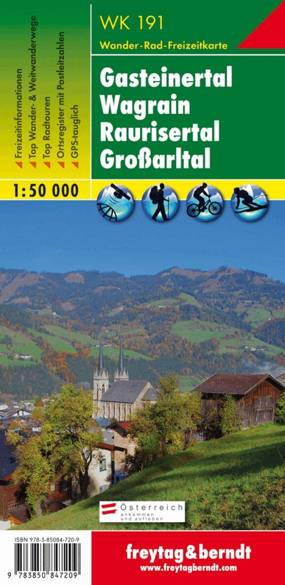
Thanks to the detailed digital cartography and the precise scales, freytag & berndt hiking maps are ideal companions for hiking, mountaineering and ski tours. They are regularly revised and contain updated information on hiking trails, cycling and mountain biking routes, huts, natural monuments, cultural sights and leisure facilities. The enclosed information booklet contains a selection of the best hiking trails, cycle paths and mountain bike routes as well as a brief description of the individual communities and their leisure activities. (Language: German) Leisure information, hiking and long-distance hiking trails, mountain bike and cycling tours, register of places with postcodes, GPS-compatible, via ferrata, ski route, cross-country route, Nordic walking route, double-sided; Region: Pongau, St. Johann im Pongau, Hohe Tauern, Lower Tauern; Special themed hiking trails: St. Rupert pilgrimage trail, Salzburg Almenweg, Via Alpina, Arnoweg, Königsweg, Pinzgauer Marienweg, through the Kötschachtal, Schwarzenbacher Almenwandern, Hochkönig-Blick-Weg, Hochkeilrundweg, 2-day tour to the Niedersachsenhaus; Special cycle and mountain bike tours: Tauern cycle path, Enns cycle path, Gasteinertal cycle path, Alpe Adria cycle path, Watzmann-Hochkönig circuit, Hochkeil circuit, Goldegg circuit; Environment maps: WK 103, WK 120, WK 181, WK 201, WK 202, WK 225, WK 382; Gasteinertal bike path, Alpe Adria Adweg, Watzmann-Hochkönig circuit, Hochkeil circuit, Goldegg circuit; Environment maps: WK 103, WK 120, WK 181, WK 201, WK 202, WK 225, WK 382; Gasteinertal bike path, Alpe Adria Adweg, Watzmann-Hochkönig circuit, Hochkeil circuit, Goldegg circuit; Environment maps: WK 103, WK 120, WK 181, WK 201, WK 202, WK 225, WK 382;
166 kr
Skickas inom 3-6 vardagar
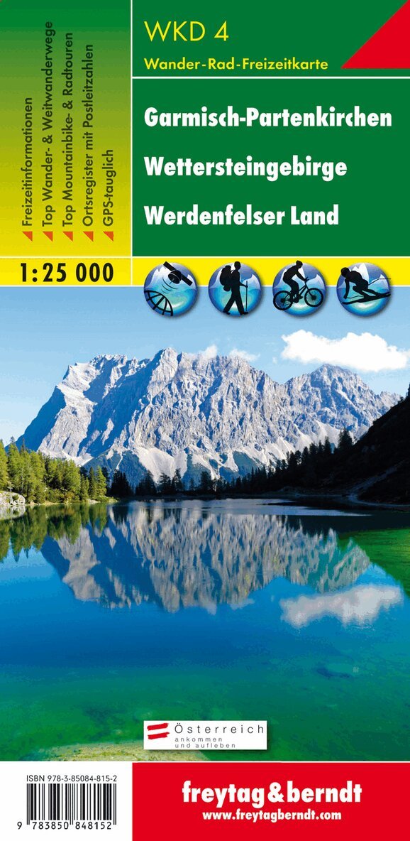
Thanks to the detailed digital cartography and the precise scales, freytag & berndt hiking maps are ideal companions for hiking, mountaineering and ski tours. The hiking map WKD 4 'Garmisch-Partenkirchen - Wettersteingebirge - Werdenfelser Land 1:25,000' is revised regularly and contains updated information on hiking trails, cycle and mountain bike routes, huts, natural monuments, cultural sights and leisure facilities. A selection of the best hiking trails, cycle paths and mountain bike trails as well as a brief description of the individual communities with their leisure activities provide information on the back of the map about the diverse range of activities in the region. (Language: German) Leisure information, hiking and long-distance hiking trails, mountain bike and cycling tours, register of places with postcodes, GPS-compatible, via ferrata, ski route, cross-country route, double-sided; Region: Bavaria, Wetterstein Mountains, Zugspitze, Werdenfelser Land, Garmisch-Partenkirchen; Special themed hiking trails: Nordalpenweg, Via Alpina; Special bike and mountain bike tours: Bike Trail Tirol mountain bike route; Environment maps: WK 322, WK 352, WK 321, WK 241;