

Wilseder Berg, hiking map
WKD2579
AvFreytag-Berndt,Freytag-Berndt und Artaria KG
Engelska, 2022
Del i serien freytag & berndt Wander-Rad-Freizeitkarten
120 kr
Beställningsvara. Skickas inom 3-6 vardagar. Fri frakt över 249 kr.
Beskrivning
The hiking map presents the Luneburg Heath Nature Park, which protects a cultural landscape that is five thousand years old. The car-free heath landscape, which is still cared for by Heidschnucken today, can be easily hiked with the help of the map. Around Bispingen alone there are seven hundred km of signposted cycling and hiking trails. Both long-distance and regional hiking trails are marked in the map section, which include the highest elevation in the region, the Wilseder Berg. Yellow flags indicate other tourist destinations such as the Heidegarten in Schneverdingen, the SnowDome near Bispingen or the natural adventure pool in Egestorf.
Produktinformation
Utforska kategorier


Hoppa över listan
Mer från samma serie
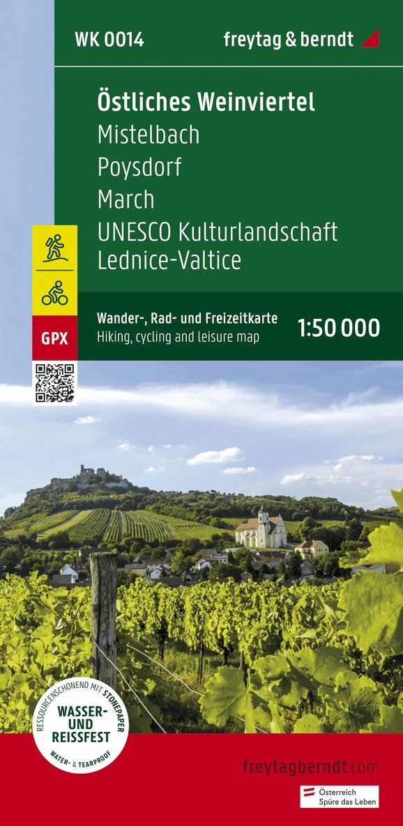
Eastern Weinviertel Hiking, Cycling and leisure map
Freytag-Berndt, Freytag-Berndt und Artaria KG
162 kr
Hoppa över listan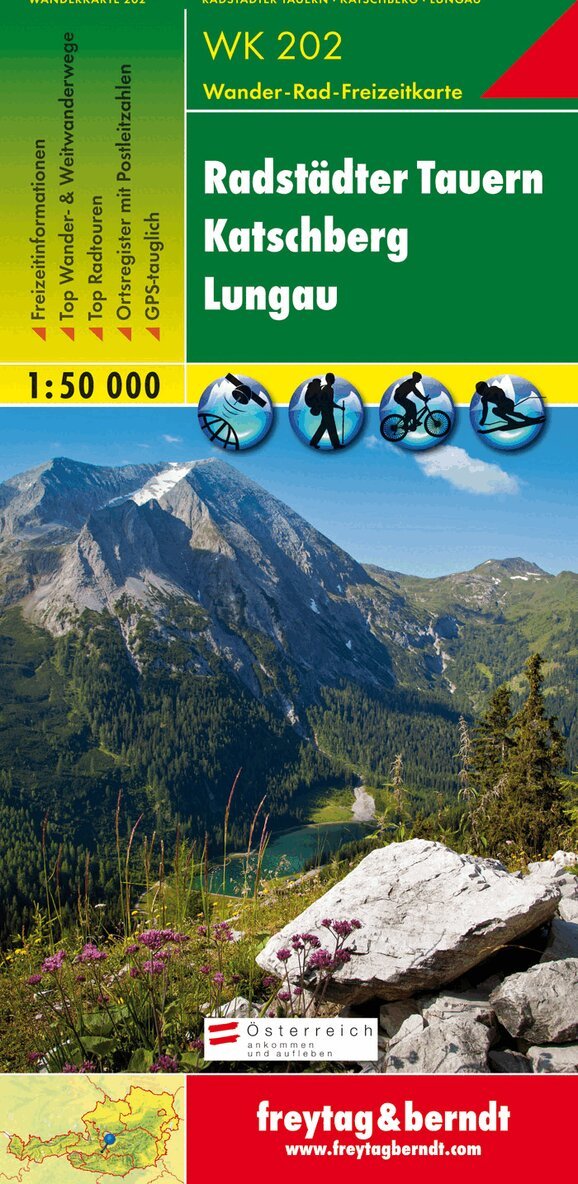
Du kanske också är intresserad av
WK 202 Radstädter Tauern - Katschmountain - Lungau, Walking
Freytag-Berndt, Freytag-Berndt und Artaria KG
166 kr
- Nyhet
- Nyhet