
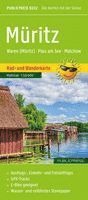
Luneburg and the surrounding area, Lauenburg
WKD5335 Walking Cycling & Leisure Map
AvFreytag-Berndt,Freytag & Berndt
Engelska, 2022
Del i serien freytag & berndt Wander-Rad-Freizeitkarten
120 kr
Beställningsvara. Skickas inom 3-6 vardagar. Fri frakt över 249 kr.
Beskrivning
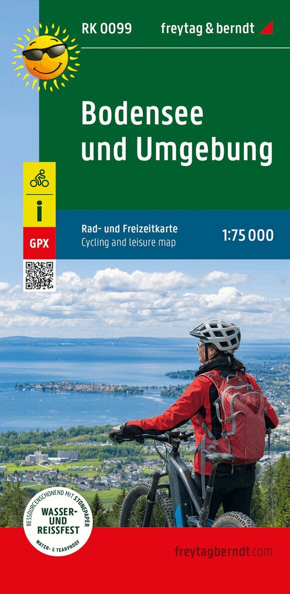
The hiking, cycling and leisure map of Luneburg and the surrounding area provides detailed information about the various hiking and cycling trails in Germany's most famous heathland. With the map you can ideally plan your tours through the nature park with the colorful heather and the Heidschnucke and find out about sights and vantage points along the way. Descriptions of the routes, tips for excursions and stops in this flat and therefore cycling and hiking-friendly area can be found on the back. Information on the hiking, cycling and leisure map of Luneburg and the surrounding area Scale 1:50 000 hiking trails bike lanes bridle paths Tourist information GPX-Tracks zum Download Waterproof and tear resistant 99 x 61 cm Tourist information Our new hiking, cycling and leisure map of Luneburg and the surrounding area shows the eastern foothills of the Luneburg Heath. The geest, forest and marsh areas are ideal for hiking, cycling and horseback riding. Especially for cyclists there are numerous easily passable paths that children can use safely. The villages in the region are ideal starting points for excursions into the heath and the historic salt and Hanseatic city of Luneburg is of course also worth a visit. Waterproof and tear-resistant The hiking map is printed on a special waterproof and durable paper so that it can also be used for orientation on rainy days. Manufactured in a way that conserves resources The map consists of 80% ground limestone. The production is much more resource-saving than with conventional paper because the consumption of water, wood and energy is significantly lower.
Produktinformation
Utforska kategorier
Hoppa över listan
Mer från samma serie
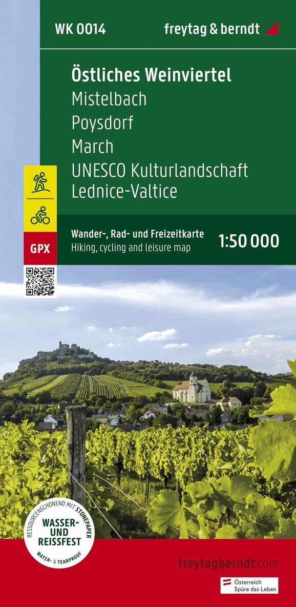
Eastern Weinviertel Hiking, Cycling and leisure map
Freytag-Berndt, Freytag-Berndt und Artaria KG
162 kr
Hoppa över listan
Du kanske också är intresserad av
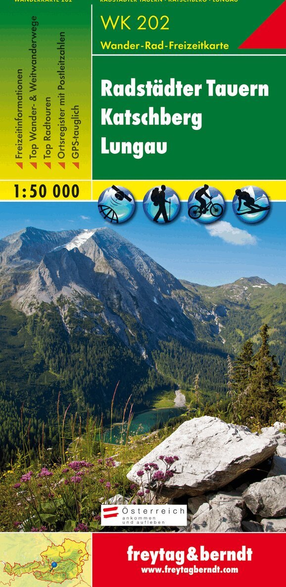
WK 202 Radstädter Tauern - Katschmountain - Lungau, Walking
Freytag-Berndt, Freytag-Berndt und Artaria KG
166 kr
- Nyhet
- Nyhet