

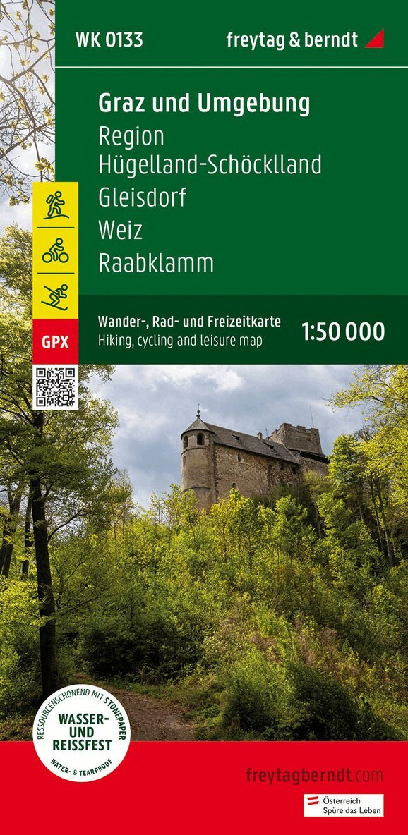
Totes Mountains, Walking-, Bike- and Leisure map 1:50.000, f
166 kr
Beställningsvara. Skickas inom 3-6 vardagar. Fri frakt över 249 kr.
Beskrivning
With the hiking, cycling and leisure map Dead Mountains on a scale of 1:50,000, hikes as well as cycling and mountain biking tours in the heart of Austria can be easily planned. On site, it also offers an ideal orientation aid to find your way around the region. Information on the Dead Mountains hiking map Hiking and long-distance hiking trails Cycle paths and mountain bike trails via ferratas Scale 1:50,000 Waterproof and tear resistant 70 x 82 cm, printed on both sides GPX Tracks zum Download Attractive excursion destinations With info guide In addition to the Dead Mountains with the Warscheneck group , the Dachstein massif is also suitable for demanding high mountain hikes . The hiking trails on the map are easy to follow thanks to the exact cartography by freytag & berndt and the ideal scale. Challenging passages such as climbs with climbing points are of course marked on the map. The numerous lakes in the Traunsee-Almtal, in the Ausseerland and in the Dachstein Salzkammergut provide the necessary cooling, some of which can also be circumnavigated on foot and are therefore very popular with families. In any case, the 3-lake tour is also exciting, during which you cross the Grundlsee by boat before you march to the Toplitzsee , take the Plätte to the north-east shore and then arrive at the Kammersee after a further five-minute walk. If you leave the Salzkammergut in a southerly direction, you get to the middle Ennstal and via the Pyhrnautobahn or the Pyhrnpass road to the northern Pyhrn-Priel region, which has made a name for itself especially among winter sports enthusiasts. Info guide The 'short and compact' info guide invites readers to get a brief overview of the Dachstein Salzkammergut, the Ausseerland and the Pyhrn-Priel region. It should also whet the appetite for exciting excursion destinations in the well-known tourist regions. These include the lovely town of Hallstatt with its salt mountain, the exciting Koppenbrüller Cave, the 'capital of traditional costumes' Bad Aussee, the wonderful Trautenfels Castle or Windischgarsten with its historic town center. Waterproof and tear-resistant The map is printed on a special waterproof and durable paper so that it can also be used for orientation on rainy days. Resource-saving production The map consists of 80% ground limestone. The production is much more resource-saving than with conventional paper because the consumption of water, wood and energy is significantly lower.
Produktinformation
Utforska kategorier


Hoppa över listan
Mer från samma serie
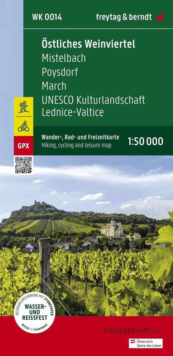
Eastern Weinviertel Hiking, Cycling and leisure map
Freytag-Berndt, Freytag-Berndt und Artaria KG
162 kr
Hoppa över listan
Du kanske också är intresserad av
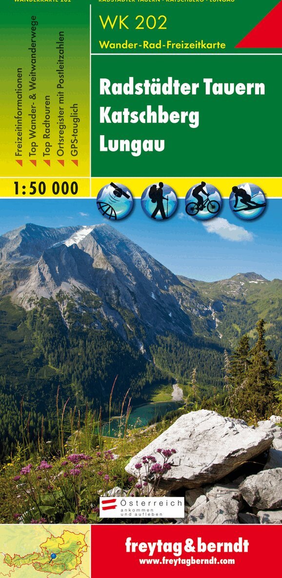
WK 202 Radstädter Tauern - Katschmountain - Lungau, Walking
Freytag-Berndt, Freytag-Berndt und Artaria KG
166 kr
- Nyhet
- Nyhet