164 kr
freytag & berndt Wander-Rad-Freizeitkarten – serie
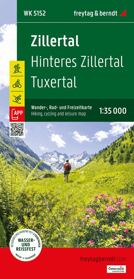
- Engelska, 2024The Zillertal Alps offer the right thing for every taste: skiing even in summer, hiking and biking at all alpine altitudes and fun for the whole family in attractive natural landscapes. Exciting excursions lead into the world around the Hintertux glacier with the glacier flea park and the Spannagel cave, to the action mountain Penken or to the gold mine. Numerous themed trails take you into the nature and culture of the Zillertal and Tuxertal.
166 kr
Skickas inom 3-6 vardagar
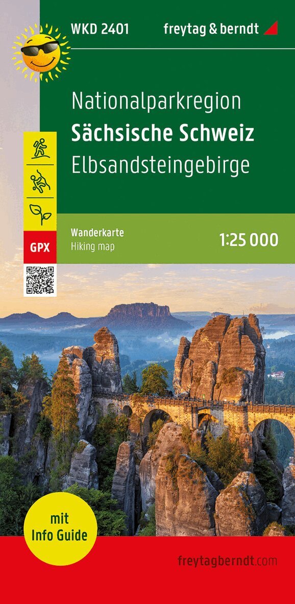
The hiking map at a scale of 1:25,000 is perfect for excursions, hikes and climbing tours in the Saxon Switzerland National Park region . It extends in front of the gates of the art and culture city of Dresden and represents one of the most impressive scenic highlights in Germany. The dense network of hiking trails in the Elbe Sandstone Mountains includes not only the numerous regional hiking trails but also the Elbe Sandstone Mountains Painter's Trail, the Elbe Sandstone Forest Trail and five other marked long-distance hiking trails. The hiking trails on the map are easy to follow thanks to the exact cartography by freytag & berndt and the ideal scale. Demanding passages such as climbs with climbing points or stairs are of course marked on the map. Information on the hiking map of the National Park Region of Saxon Switzerland Hiking and long-distance hiking trails Via Ferrata and Rock Climbing Attractive excursion destinations Elbe Cycle Path GPX Tracks zum Download 1:25,000 scale Waterproof and tear resistant 70 x 82 cm, printed on both sides In a practical map sleeve with info guide Info guide The 'short and compact' info guide describes not only excursion tips and selected hikes, but also the top experiences that await visitors in the Saxon Switzerland National Park region: Boofen (sleeping outdoors) Steam navigation on the Elbe Rock stage Rathen rock labyrinth Historical passenger elevator in Bad Schandau Boat trip through the Kirnitzschklamm Excursion with the Kirnitzschtalbahn Climbing Forest Koenigstein The offer in Saxon Switzerland is so colorful that there is also a lot to experience away from the numerous hiking, cycling and climbing routes. With attractive wellness oases in Bad Schandau or Sebnitz, old castles such as Königstein Fortress or Hohnstein Castle and the lovingly designed miniature park 'Kleine Sächsische Schweiz' in Dorf Wehlen or the railway worlds in the spa town of Rathen, visitors of all ages are addressed. Waterproof and tear-resistant The hiking map is printed on a special waterproof and durable paper so that it can also be used for orientation on rainy days. Manufactured in a way that conserves resources The map consists of 80% ground limestone. The production is much more resource-saving than with conventional paper because the consumption of water, wood and energy is significantly lower.- Engelska, 2022
162 kr
Skickas inom 3-6 vardagar
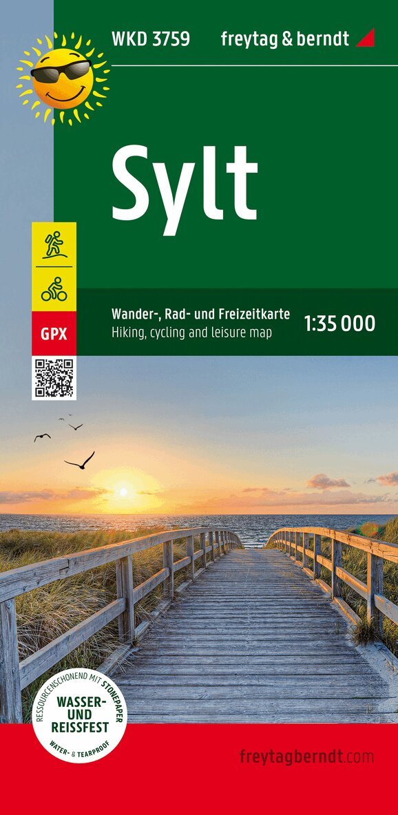
Sylt is more than an island. Sylt is a philosophy for the numerous regular guests. But what exactly makes this almost 100 km² island in the North Sea so special? The fascinating natural landscape, the many facets are what make this piece of sand so unique - 40 km of fine sandy beach, rough surf on the west side, quiet Wadden Sea in the east, unspoilt and green dikes alternate with blooming heather and majestic cliffs. The sky as painted, plus a healthy stimulating climate. Equally famous are their diversity on the one hand and their individuality on the other. Holiday guests love the informal atmosphere and appreciate the stylish ambience. Hustle and bustle and seclusion, daydreams and nightlife - there is no such thing as boredom on Sylt. Hiking and cycling map 1:35,000 in a practical map sleeve, supplement with excursion destinations, top hikes and top bike tours. leisure tips. - Engelska, 2022
116 kr
Skickas inom 3-6 vardagar
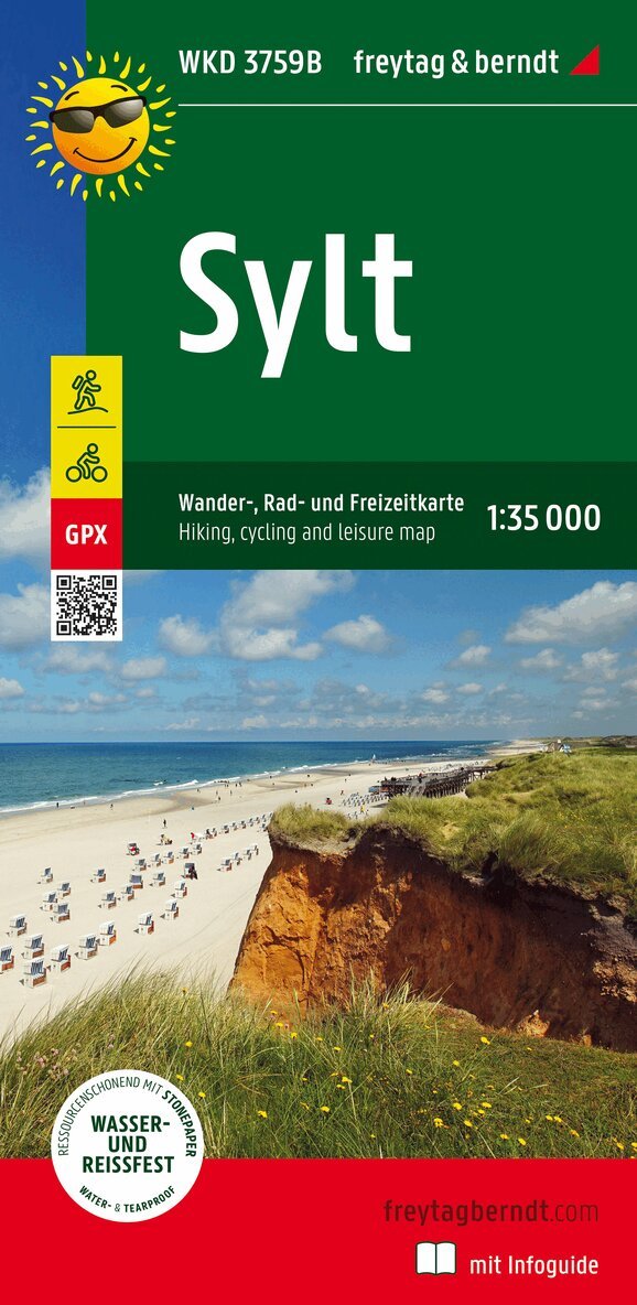
Sylt is more than an island. But what exactly makes this almost 100 km island in the North Sea so special? The fascinating natural landscape, the many facets are what make this piece of sand so unique - 40 km of fine sandy beach, rough surf on the west side, quiet Wadden Sea in the east, unspoilt and green dikes alternate with blooming heather and majestic cliffs. The sky as painted, plus a healthy stimulating climate. Equally famous are their diversity on the one hand and their individuality on the other. Holiday guests love the informal atmosphere and appreciate the stylish ambience. Hustle and bustle and seclusion, daydreams and nightlife - there is no such thing as boredom on Sylt. 117 kr
Skickas inom 3-6 vardagar
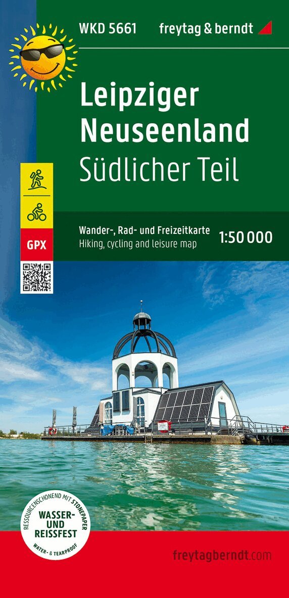
In the north-west of Saxony, one of the largest water areas in Germany emerged from the former lignite area. In the southern Leipzig Neuseenland, young and old will find a wide range of active and trend sports. The Leipziger Neuseenland hiking map provides detailed information about the various hiking and cycling trails in the region. With the hiking and cycling map, you can ideally plan your tours and find out about sights and vantage points along the way. On the back there are information texts about cycling and hiking trails as well as numerous tips for excursions. Information on the hiking and cycling map of the Leipzig Neuseenland - southern part Scale 1:50 000 hiking trails bike lanes Tourist information GPX-Tracks zum Download Waterproof and tear resistant 99 x 61 cm Tourist information The Leipziger Neuseenland offers numerous sights that you should not miss. For example, visit the Cospudener See , one of the largest lakes in the region, and enjoy the crystal-clear water and the beautiful sandy beach. Or take a boat trip on the Störmthaler See and admire the landscape from the water. Numerous nature trails as well as forest and water playgrounds offer a variety of recreation for families. Romantic carriage tours offer varied hours in nature, castles, palaces, manor houses and churches tell of the cultural taste of past centuries. Waterproof and tear-resistant The hiking map is printed on a special waterproof and durable paper so that it can also be used for orientation on rainy days. Manufactured in a way that conserves resources The map consists of 80% ground limestone. The production is much more resource-saving than with conventional paper because the consumption of water, wood and energy is significantly lower. Printed in Austria.- Engelska, 2022
160 kr
Skickas inom 3-6 vardagar
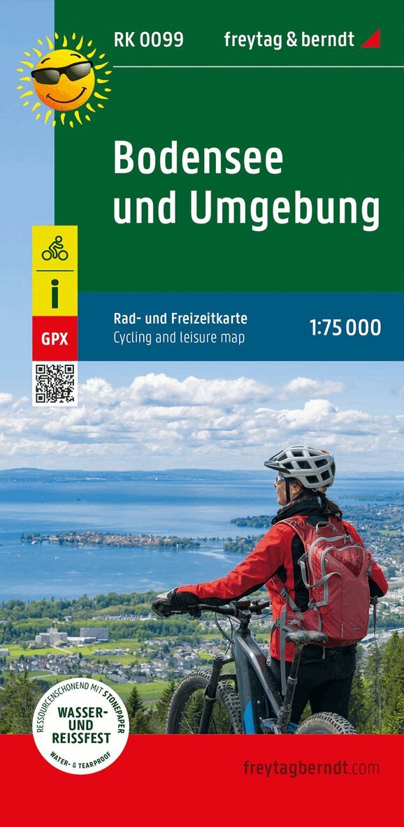
Lake Constance is an ideal cycling area. A varied landscape, characterized by the lake, the mountains and picturesque places in the 3-country corner await the cyclist. Countless cycle and long-distance cycle paths in the map section show the attractiveness of the region for cyclists. Shortcuts of the tours across the lake are possible thanks to the numerous ferries. The Lake Constance cycle map also offers information on places worth seeing, tips for excursions, bicycle shops and tube vending machines on site. Information on the cycling map of Lake Constance and the surrounding area bike lanes Mountainbikestrecken Tourist information Scale 1:75,000 Waterproof and tear resistant 70 x 82 cm, printed on both sides GPX Tracks zum Download Constance - Friedrichshafen - Lindau - Bregenz - Schaffhausen Waterproof and tear-resistant The map is printed on a special waterproof and durable paper so that it can also be used for orientation on rainy days. Resource-saving production The map consists of 80% ground limestone. The production is much more resource-saving than with conventional paper because the consumption of water, wood and energy is significantly lower. 160 kr
Skickas inom 3-6 vardagar
Thanks to the detailed digital cartography and the precise scales, freytag & berndt hiking maps are ideal companions for hiking and cycling. They are revised regularly and contain updated information on hiking trails, cycling and mountain biking trails, huts, vantage points, sights and leisure facilities.- Engelska, 2022
160 kr
Skickas inom 3-6 vardagar
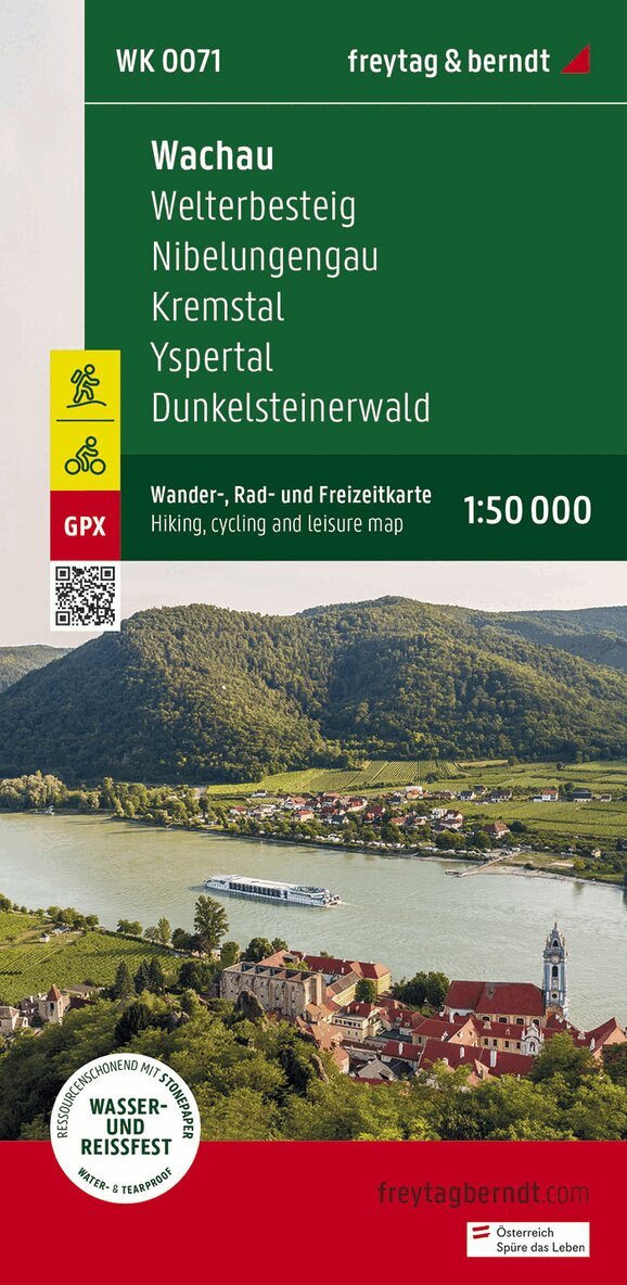
Thanks to the detailed digital cartography and the precise scales, freytag & berndt hiking maps are ideal companions for hiking, mountaineering and ski tours. They are revised regularly and contain updated information on hiking trails, cycling and mountain biking routes, huts, natural monuments, cultural sights and leisure facilities. The enclosed information booklet contains a selection of the best hiking trails, cycle paths and mountain bike routes as well as a brief description of the individual communities and their leisure activities. (Language: German) Details: Leisure information, hiking and long-distance hiking trails, mountain bike and cycling tours, register of places with postcodes, GPS-compatible, bridle paths, ski route, cross-country route. Special themed hiking trails: Dark stone forest circuit, Nibelungengau long-distance trail, Waldviertel four-market trail, Waldviertel long-distance trail, Erlauftal circular trail, Way of St. James, Mostviertel hiking trails, Wachau world heritage trail, Jauerling circuit, life trail, large Tullnerfeld circular trail, Kremstal trail. Special cycle and mountain bike tours: Waldviertel cycle path, Waldviertler-Hochlandweg, Kremstal cycle path, Danube cycle path, Spitzertal cycle path, Yspertal cycle path, Weinstein tour, Wachtstein route, Great Kremstal route, Sulzberg route; 160 kr
Skickas inom 3-6 vardagar
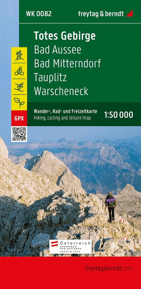
With the hiking, cycling and leisure map Dead Mountains on a scale of 1:50,000, hikes as well as cycling and mountain biking tours in the heart of Austria can be easily planned. On site, it also offers an ideal orientation aid to find your way around the region. Information on the Dead Mountains hiking map Hiking and long-distance hiking trails Cycle paths and mountain bike trails via ferratas Scale 1:50,000 Waterproof and tear resistant 70 x 82 cm, printed on both sides GPX Tracks zum Download Attractive excursion destinations With info guide In addition to the Dead Mountains with the Warscheneck group , the Dachstein massif is also suitable for demanding high mountain hikes . The hiking trails on the map are easy to follow thanks to the exact cartography by freytag & berndt and the ideal scale. Challenging passages such as climbs with climbing points are of course marked on the map. The numerous lakes in the Traunsee-Almtal, in the Ausseerland and in the Dachstein Salzkammergut provide the necessary cooling, some of which can also be circumnavigated on foot and are therefore very popular with families. In any case, the 3-lake tour is also exciting, during which you cross the Grundlsee by boat before you march to the Toplitzsee , take the Plätte to the north-east shore and then arrive at the Kammersee after a further five-minute walk. If you leave the Salzkammergut in a southerly direction, you get to the middle Ennstal and via the Pyhrnautobahn or the Pyhrnpass road to the northern Pyhrn-Priel region, which has made a name for itself especially among winter sports enthusiasts. Info guide The 'short and compact' info guide invites readers to get a brief overview of the Dachstein Salzkammergut, the Ausseerland and the Pyhrn-Priel region. It should also whet the appetite for exciting excursion destinations in the well-known tourist regions. These include the lovely town of Hallstatt with its salt mountain, the exciting Koppenbrüller Cave, the 'capital of traditional costumes' Bad Aussee, the wonderful Trautenfels Castle or Windischgarsten with its historic town center. Waterproof and tear-resistant The map is printed on a special waterproof and durable paper so that it can also be used for orientation on rainy days. Resource-saving production The map consists of 80% ground limestone. The production is much more resource-saving than with conventional paper because the consumption of water, wood and energy is significantly lower.160 kr
Skickas inom 3-6 vardagar
Thanks to the detailed digital cartography and the precise scales, freytag & berndt hiking maps are ideal companions for hiking and cycling. They are revised regularly and contain updated information on hiking trails, cycling and mountain biking trails, huts, vantage points, sights and leisure facilities.162 kr
Skickas inom 3-6 vardagar
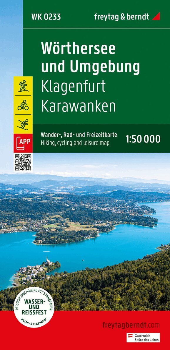
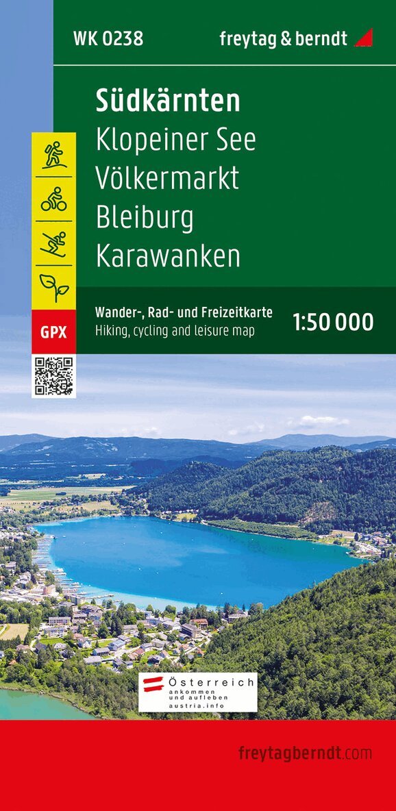
The Southern Carinthia hiking map on a scale of 1:50,000 is the ideal companion for excursions, hikes and bike tours in the Southern Carinthia-Klopeiner See holiday region. In addition, the hiking map also presents the eastern section of the Rosental with the gunsmith town of Ferlach, a large part of the Karawanken and the state capital of Klagenfurt am Wörthersee. The numerous existing regional hiking trails are supplemented by several long-distance hiking and pilgrimage trails, including the Southern Alpine Trail, the Julius Kugy Alpine Trail and the Hemma Pilgrimage Trail. Hikers are offered many opportunities to leave the hustle and bustle of everyday life behind and enjoy the beauty and diversity of the region. The hiking trails on the map are easy to follow thanks to the exact cartography by freytag & berndt and the ideal scale. Demanding passages such as climbs with climbing points are of course marked on the map. The Southern Carinthia hiking map is also perfect for pleasure cyclists and ambitious mountain bikers. In addition to demanding mountain bike routes, the course of the Drau Cycle Path with its side routes can also be easily followed. Information on the Southern Carinthia hiking map Hiking and long-distance hiking trails via ferratas Scale 1:50,000 Waterproof and tear resistant Drau cycle path with side routes Attractive excursion destinations 70 x 82 cm, printed on both sides GPX Tracks zum Download With info guide Info guide The 'short and compact' info guide offers not only a foray into the region but also an overview of the transnational UNESCO Geopark Karawanken. A wide range of offers ensure varied hours: Geopark information center in Bad Eisenkappel Nature trails and Geotrails Home mountain 'Underworld' of the sneaks Obir stalactite caves Troeger Gorge Pirkdorfer See Families in particular appreciate the southern Carinthia-Klopeiner See holiday region for its mild climate and beautiful bathing lakes with drinking water quality, including the Klopeiner See and the Turnersee, which are among the warmest bathing lakes in Europe. However, the region has many other attractive destinations to offer: Minimundus in Klagenfurt, Historama Ferlach technology museum, Tscheppa Gorge, the Benedictine monastery library in St. Paul im Lavanttal and Schlossberg Griffen. Waterproof and tear-resistant The map is printed on a special waterproof and durable paper so that it can also be used for orientation on rainy days. Resource-saving production The map consists of 80% ground limestone. The production is much more resource-saving than with conventional paper because the consumption of water, wood and energy is significantly lower.160 kr
Skickas inom 3-6 vardagar
Thanks to the detailed digital cartography and the precise scales, freytag & berndt hiking maps are ideal companions for hiking and cycling. They are revised regularly and contain updated information on hiking trails, cycling and mountain biking trails, huts, vantage points, sights and leisure facilities..160 kr
Skickas inom 3-6 vardagar
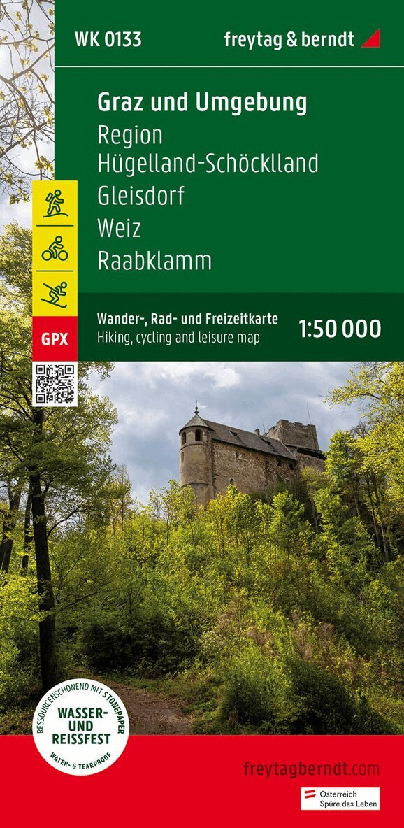
The hiking map 'Graz and surroundings, hiking, cycling and leisure map 1:50,000, freytag & berndt, WK 0133' is revised regularly and contains updated information on hiking trails, cycling and mountain bike routes, huts, natural monuments, cultural sights and leisure facilities. The enclosed information booklet contains a selection of the best hiking trails, cycle paths and mountain bike routes as well as a brief description of the individual communities and their leisure activities. (Language: German) Leisure information, hiking and long-distance hiking trails, mountain bike and cycling tours, register of places with postcodes, GPS-compatible, via ferrata, bridle path, ski route, Nordic walking route; Region: Graz, Graz surroundings, Styria. Special themed hiking trails: Mariazellerweg, Jakobsweg, Via Slavorum, Pilgerweg, Grabenland Trail, Vulkanland hiking trail, Grazer-Umland-Weg, GU-Sud circular hiking trail, Wechselbergland Hohenweg. Special cycle and mountain bike tours: Mur Cycle Path, Erzherzog-Johann Cycle Path, Ilztal Cycle Path, Raabtal Cycle Path, Mostwarts Cycle Path, Stiefingtal Cycle Path, Panoramaweg GU3, Graz circumnavigation.117 kr
Skickas inom 3-6 vardagar
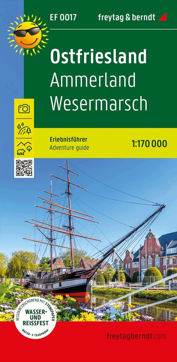
East Friesland not only has 7 beautiful islands and well-known cities such as Wilhelmshaven or Papenburg to offer. The tourist destinations in the region are diverse: attractions such as the hands-on museum in Aurich, the national park house in Butjadingen or oceanus and the virtual underwater station in Wilhelmshaven await you. The marked cycling and hiking trails show how ideal the flat country is for active vacationers. Tour descriptions and information about excursion destinations can be found on the back.- Engelska, 2024
117 kr
Skickas inom 3-6 vardagar
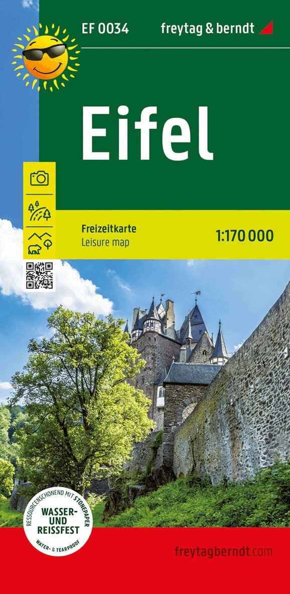
As a low mountain range, the Eifel not only offers hiking enthusiasts eventful stays. The amount of yellow markings in the map section shows: There is something interesting for everyone! Be it the well-known Nürburgring or the offers on the geological history of the Vulkaneifel around Manderscheid and Daun. Not to be forgotten: the Moselle with its beautiful wine villages on the eastern edge of the low mountain range. More information about all offers can be found on the back of the card. - Engelska, 2022
116 kr
Skickas inom 3-6 vardagar
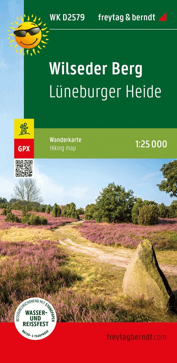
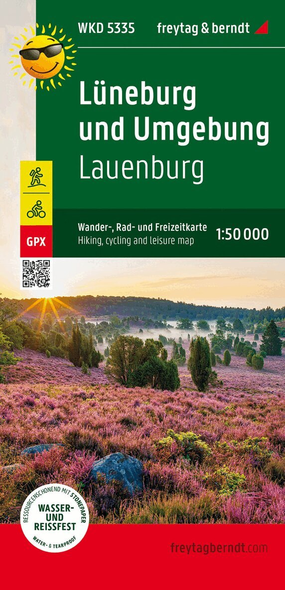
The hiking map presents the Luneburg Heath Nature Park, which protects a cultural landscape that is five thousand years old. The car-free heath landscape, which is still cared for by Heidschnucken today, can be easily hiked with the help of the map. Around Bispingen alone there are seven hundred km of signposted cycling and hiking trails. Both long-distance and regional hiking trails are marked in the map section, which include the highest elevation in the region, the Wilseder Berg. Yellow flags indicate other tourist destinations such as the Heidegarten in Schneverdingen, the SnowDome near Bispingen or the natural adventure pool in Egestorf. 116 kr
Skickas inom 3-6 vardagar
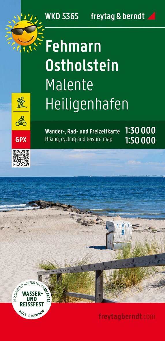
The front of the Fehmarn - Ostholstein hiking, cycling and leisure map shows most of Ostholstein. In addition to the Baltic Coast Cycle Path, numerous regional cycle paths invite you to explore the hilly landscape. The island of Fehmarn is shown on the reverse at a scale of 1:30,000. While the long-distance cycle path follows the course of the coast, regional cycle paths lead through the small towns and over the fields of the island. Information texts on the edge of the map provide information about excursion tips. Information on the hiking and cycling map Fehmarn - Ostholstein Map part Fehmarn: 1:30,000 Map section East Holstein: 1:50,000 hiking trails Cycle and long-distance cycle paths bridle paths GPX-Tracks zum Download Waterproof and tear resistant 99 x 61 cm, printed on both sides Waterproof and tear-resistant The hiking map is printed on a special waterproof and durable paper so that it can also be used for orientation on rainy days. Manufactured in a way that conserves resources The map consists of 80% ground limestone. The production is much more resource-saving than with conventional paper because the consumption of water, wood and energy is significantly lower.iteable; sacredhafen- Engelska, 2022
160 kr
Skickas inom 3-6 vardagar
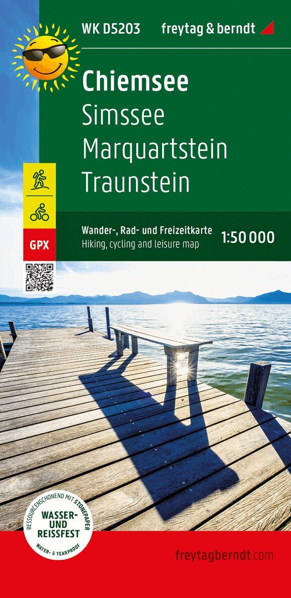
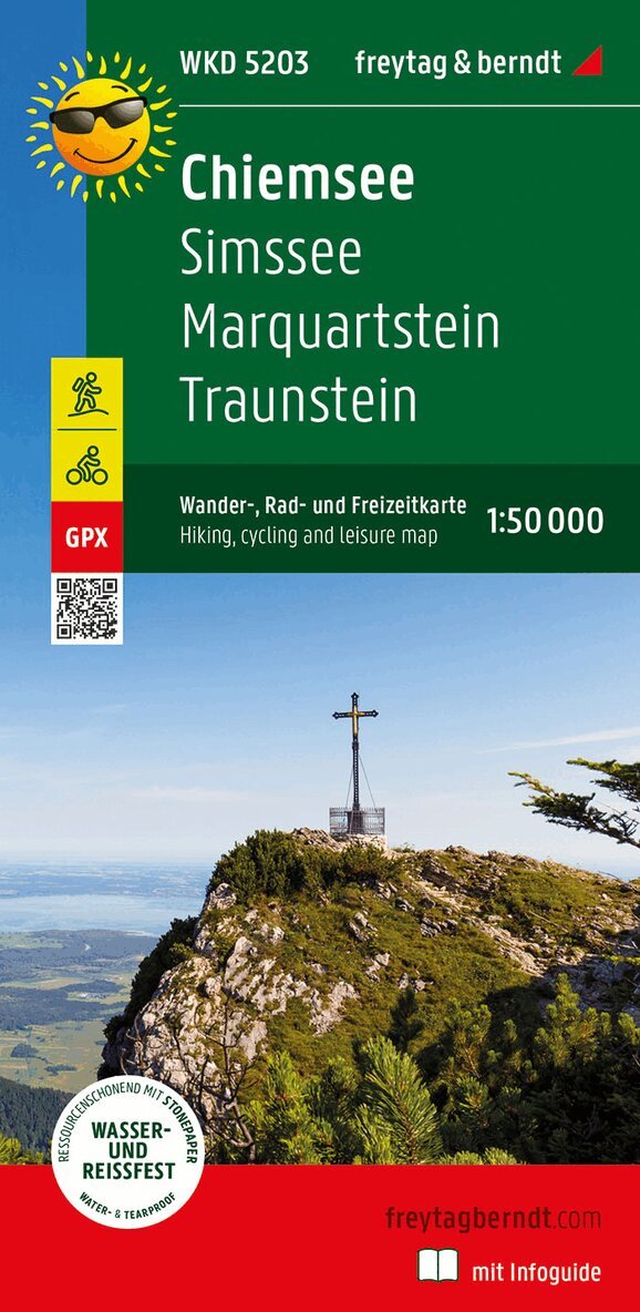
Lake Chiemsee is the center of the map. Cycling and hiking trails near the shore allow you to explore it and lead to jetties to visit Herreninsel and Fraueninsel. The routes through the rugged Chiemgau Alps (over 1,000 m above sea level) require physical fitness. Other themed routes lead further west along the Inn or through the hilly landscape north of the lake. You can find out which excursions are available in this holiday region in the information section. - Del 203 - freytag & berndt Wander-Rad-Freizeitkarten
Rottenmanner Tauern
Hiking, Cycling and Leisure Map
Engelska, 2023162 kr
Skickas inom 3-6 vardagar
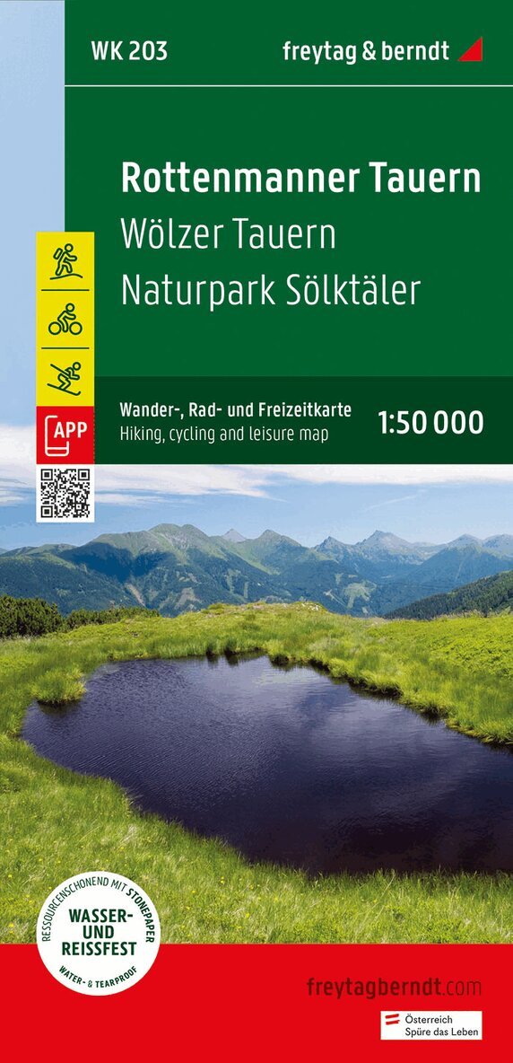
The Rottenmanner Tauern hiking, cycling and leisure map offers detailed information about the hiking and cycling trails in the popular Styrian hiking region. The Wolzer Tauern and the Solktaler Nature Park are just a few of the many hiking highlights in the region. With the hiking and cycling map you can ideally plan your tours and find out about the sights along the route. Information about the Rottenmanner Tauern hiking and cycling map Scale 1:50,000 Hiking trails Tourist information Roth app Waterproof and tear-resistant 82 x 60 cm, double-sided 162 kr
Skickas inom 3-6 vardagar
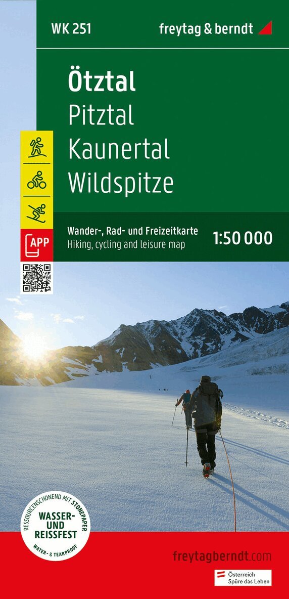
Thanks to the detailed digital cartography and the precise scales, freytag & berndt hiking maps are ideal companions for hiking, mountaineering and ski tours. The 'Ötztal - Pitztal - Kaunertal - Wildspitze Hiking Map, 1:50,000' is revised regularly and contains updated information on hiking trails, cycle and mountain bike trails, huts, natural monuments, cultural sights and leisure facilities. The enclosed information booklet contains a selection of the best hiking trails, cycle paths and mountain bike routes as well as a brief description of the individual communities and their leisure activities. (Language: German) Leisure information, hiking and long-distance hiking trails, mountain bike and cycling tours, register of places with postcodes, GPS-compatible, via ferrata, ski route, cross-country route, double-sided; Region: Tyrol, North Tyrol, Ötztal, Pitztal, Kaunertal, Ötztal Alps, Stubai Alps, Imst; Special themed hiking trails: Meraner Höhenweg, Adlerweg, Via Alpina, Jakobsweg, Via Claudia Augusta, archaeological hiking trails (following the footsteps of the Iceman), 4-hut tour, Taschachhaus circuit, Ötztal trek; Special cycle and mountain bike tours: Inn Cycle Path, Via Claudia Augusta Cycle Path, Pitztal Bike Route, Ötztal Mountain Bike Trail, Bike Trail Tirol, Amberg Hut Route, Schweinfurter Hut Round, Ludwigsburg Hut Route, Kaunerberg Round, Rettenbachferner Round , Wurmkogel Route; Environment maps: WK 241, WK 254, WK 351, WK 352, WK S2; Archaeological hiking trails (following the footsteps of the Iceman), 4-hut tour, Taschachhaus circuit, Ötztal trek; Special cycle and mountain bike tours: Inn Cycle Path, Via Claudia Augusta Cycle Path, Pitztal Bike Route, Ötztal Mountain Bike Trail, Bike Trail Tirol, Amberg Hut Route, Schweinfurter Hut Round, Ludwigsburg Hut Route, Kaunerberg Round, Rettenbachferner Round , Wurmkogel Route; Environment maps: WK 241, WK 254, WK 351, WK 352, WK S2; Archaeological hiking trails (following the footsteps of the Iceman), 4-hut tour, Taschachhaus circuit, Ötztal trek; Special cycle and mountain bike tours: Inn Cycle Path, Via Claudia Augusta Cycle Path, Pitztal Bike Route, Ötztal Mountain Bike Trail, Bike Trail Tirol, Amberg Hut Route, Schweinfurter Hut Round, Ludwigsburg Hut Route, Kaunerberg Round, Rettenbachferner Round , Wurmkogel Route; Environment maps: WK 241, WK 254, WK 351, WK 352, WK S2;162 kr
Skickas inom 3-6 vardagar
Hiking and cycling map with information on relief and points of interest. The information booklet that the acofagne contains a selection of the best hiking trails, bike paths and mountain bike trails, as well as a brief description of the different municipalities with their leisure activities. (German language).- Tyska, 2025
164 kr
Skickas inom 3-6 vardagar
160 kr
Skickas inom 3-6 vardagar
- Engelska, 2022
210 kr
Skickas inom 3-6 vardagar
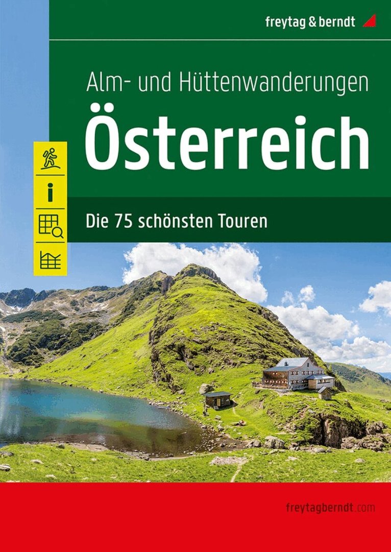
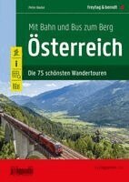
Text is in German. The selection of the 75 most beautiful alpine and hut hikes in Austria compiled in this hiking guide is intended to direct your attention to the more leisurely hiking destinations in our country. The tours presented span an arc from alpine pastures gently embedded in the mountain landscape to high-altitude mountain huts with great views and offer scenically beautiful and alpinist (that's perhaps a bit too high for most tours) interesting hiking tours. The selected routes meet the most diverse demands in terms of difficulty and fitness: be it simple but varied family hikes from alpine pasture to alpine pasture or more demanding tours to the mountain huts in the high mountains. 75 varied hiking tours Directions Detailed maps 1:50,000 elevation profiles overview map This book is intended as a supplement to the 'Hiking Atlas Austria - The 100 most beautiful tours' also published by freytag & berndt and offers - again based on the popular hiking books from Rother Bergverlag - a diverse cross-section of the most beautiful hiking regions in Austria. - Häftad, Engelska, 2023
294 kr
Skickas inom 3-6 vardagar
Dieser Wanderführer Österreich bietet 75 detaillierte Routenbeschreibungen für Wanderungen, die bequem und einfach mit öffentlichen Verkehrsmitteln erreichbar sind.Erkunden Sie die beeindruckende Naturlandschaft Österreichs auf nachhaltige und unbeschwerte Weise.Die vorgestellten Touren werden den unterschiedlichsten Ansprüchen an Schwierigkeit und Fitness gerecht. Von einfachen, familienfreundlichen Wanderungen bis hin zu anspruchsvollen Bergtouren ist für jeden Geschmack und jede Kondition etwas dabei. Und alle Touren sind bequem mit Bahn und Bus zu erreichen.75 abwechslungsreiche WandertourenAlle Touren mit Öffis erreichbarWegbeschreibungenDetailkarten 1:50.000HöhenprofileÜbersichtskarteMit diesem Wanderführer können Sie unvergessliche Erlebnisse in der Natur genießen und dabei Ihren ökologischen Fußabdruck minimieren. Erleben Sie die atemberaubende Schönheit Österreichs auf umweltfreundliche und entspannte Art, darunter majestätische Berge, kristallklare Seen und malerische Wälder.Der Wanderführer Mit Bahn und Bus zum Berg - Österreich bietet Ihnen wertvolle Informationen zu den verschiedenen Wanderwegen und Sehenswürdigkeiten entlang der Strecke. Zudem erhalten Sie nützliche Tipps zu den öffentlichen Verkehrsmitteln, wie Bus- und Zugfahrpläne, um Ihre An- und Abreise so einfach wie möglich zu gestalten. 160 kr
Skickas inom 3-6 vardagar
The WK 322 Wetterstein - Karwendel - Seefeld - Leutasch - Garmisch Partenkirchen, hiking map 1:50,000 is regularly revised and contains updated information on hiking trails, cycling and mountain bike routes, huts, natural monuments, cultural sights and leisure facilities. Leisure information, hiking and long-distance hiking trails, mountain bike and cycle tours, place index with postcodes, GPS compatible, via ferrata, ski route, cross-country route, Nordic walking route. Thanks to the detailed digital cartography and the precise scales, freytag & berndt hiking maps are ideal companions for hiking, mountaineering and ski tours.160 kr
Skickas inom 3-6 vardagar
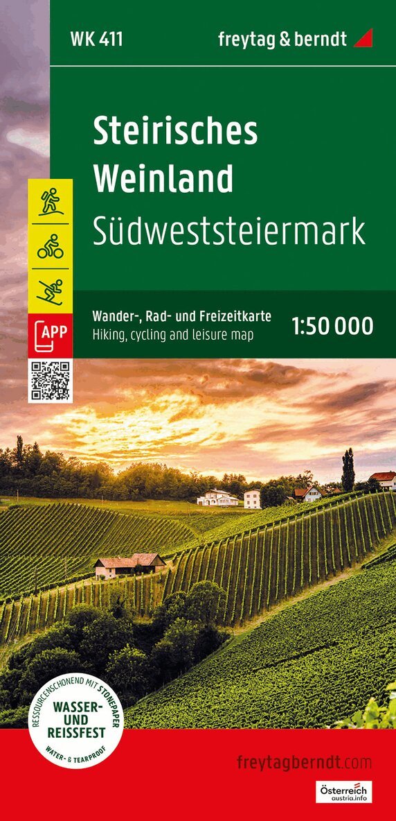
The Styrian Wine Country hiking, cycling and leisure map is the ideal map for hikes, bike tours and excursions in southwest Styria. With the hiking and cycling map you can plan your tours perfectly and find out about sights and viewpoints along the route. For winter sports enthusiasts, the map offers ski routes, cross-country ski trails and all cable cars and lifts. Information on the Styrian Wine Country hiking and cycling map Scale 1:50,000 Hiking and long-distance hiking trails Cycle paths and mountain bike tours Ski routes and cross-country ski trails Tourist information Rother app Waterproof and tear-resistant Double-sided Rother app The linked free version of the Rother app offers a digital map with the complete hiking and cycling trail network, as well as some sample tours in the region (free registration required). Waterproof and tear-resistant So that the hiking map can also be used for orientation on rainy days, it is printed on a special waterproof and durable paper. Manufactured using resources sparingly The map is made of 80% ground limestone. The production process is much more resource-efficient than with conventional paper because the consumption of water, wood and energy is significantly lower. Printed in Austria.205 kr
Skickas inom 3-6 vardagar
This hiking map is ideal for hiking, cycling, and excursions on Tenerife. It allows you to plan your tours effectively and find information about attractions and viewpoints along your route. Information on the hiking map of Tenerife: -Scale 1:50,000 -2 sheets -hiking trails -Cycle paths and mountain bike tours -Tourist information -GPS-compatible -Waterproof and tear-resistant -Format: approx. 99 x 69 cm, double-sided -Waterproof and tear-resistant. To ensure that the Tenerife hiking map can be used for orientation even on rainy days, it is printed on special waterproof and durable paper. Resource-efficient production: The map is made from 80% ground limestone. Its production is significantly more resource-efficient than that of conventional paper, as the consumption of water, wood, and energy is considerably lower.- Häftad, Engelska, 2024
247 kr
Skickas inom 3-6 vardagar
The Hiking Atlas of Crete 1:50,000 offers information on hiking trails, huts, natural monuments, sights and leisure facilities. Weight:599 g Publisher:Freytag-Berndt and Artaria Series:freytag & berndt hiking-cycling-leisure maps Scale:1:50.000 Product Type:Books Language:German EAN:9783707923643 Year of publication:2024 205 kr
Skickas inom 3-6 vardagar
Sights of interest & hiking pathsThe hiking map set "Azores 1:50,000" consists of two sheets and provides information on hiking trails, huts, natural monuments, sights and leisure facilities.Information on the hiking and leisure map of the AzoresScale 1:50,000hiking trailsTourist informationRother AppLocal directory with postal codesCity mapsDouble-sidedRother App:The linked free version of the Rother App offers a digital map with the complete hiking trail network of the Azores as well as some sample tours. (Free registration required).