
Chiemsee, hiking, cycling and leisure map
AvFreytag-Berndt,Freytag & Berndt
Engelska, 2022
Del i serien freytag & berndt Wander-Rad-Freizeitkarten
120 kr
Beställningsvara. Skickas inom 3-6 vardagar. Fri frakt över 249 kr.
Fler format och utgåvor
Beskrivning
The Chiemsee forms the center of the map. Cycle and hiking trails close to the shore let him explore, lead to piers to visit Herreninsel and Fraueninsel. The routes through the rugged Chiemgau Alps (over 1,000 m above sea level) require fitness. Other themed routes lead further west along the Inn or through the hilly landscape north of the lake. Waterproof and tear-resistant The map is printed on a special waterproof and durable paper so that it can also be used for orientation on rainy days. Resource-saving production The map consists of 80% ground limestone. The production is much more resource-efficient than with conventional paper, since the consumption of water, wood and energy is significantly lower.
Produktinformation
Utforska kategorier


Hoppa över listan

Mer från samma serie
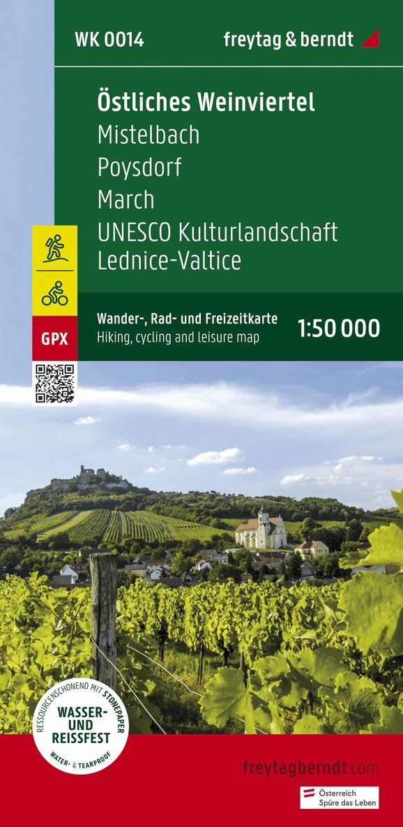
Eastern Weinviertel Hiking, Cycling and leisure map
Freytag-Berndt, Freytag-Berndt und Artaria KG
162 kr
Hoppa över listan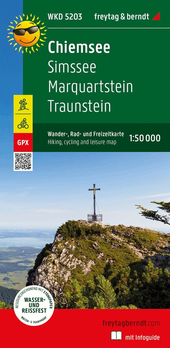
Du kanske också är intresserad av
Mittelkärnten, Wander-, Rad- und Freizeitkarte 1:50.000, freytag & berndt, WK 231
Freytag & Berndt
166 kr
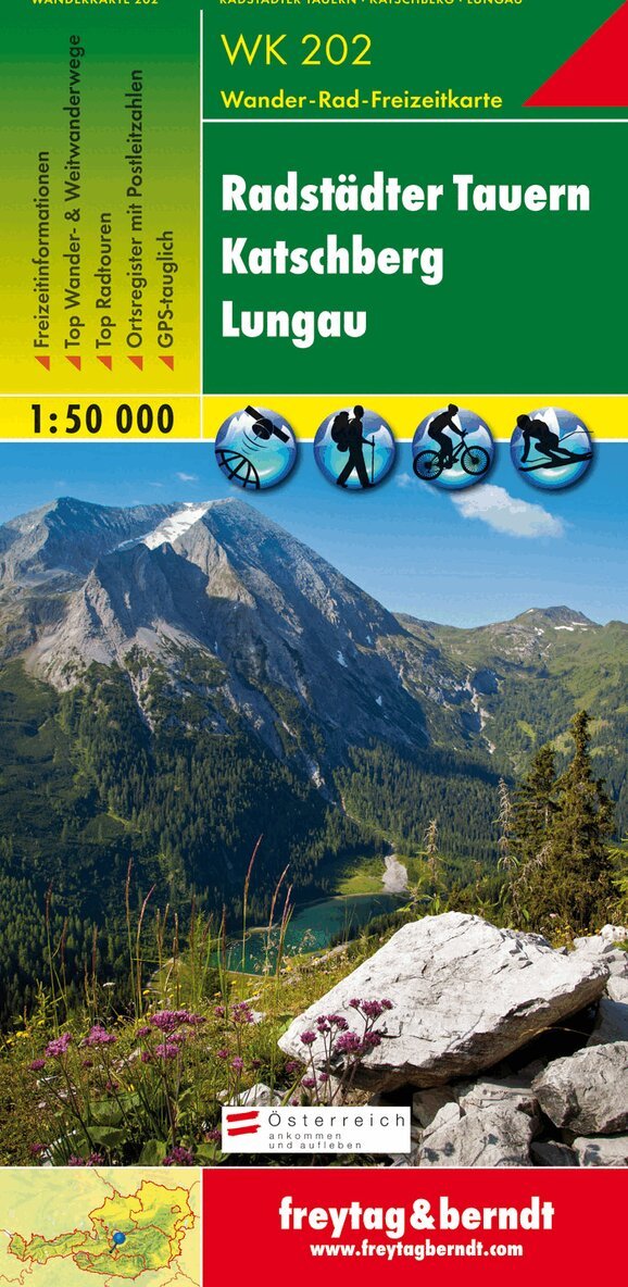
WK 202 Radstädter Tauern - Katschmountain - Lungau, Walking
Freytag-Berndt, Freytag-Berndt und Artaria KG
162 kr
- Nyhet
- Nyhet