

Rottenmanner Tauern
Hiking, Cycling and Leisure Map
AvFreytag-Berndt,Freytag & Berndt
Engelska, 2023
Del 203 i serien freytag & berndt Wander-Rad-Freizeitkarten
166 kr
Beställningsvara. Skickas inom 3-6 vardagar. Fri frakt över 249 kr.
Beskrivning
The Rottenmanner Tauern hiking, cycling and leisure map offers detailed information about the hiking and cycling trails in the popular Styrian hiking region. The Wolzer Tauern and the Solktaler Nature Park are just a few of the many hiking highlights in the region. With the hiking and cycling map you can ideally plan your tours and find out about the sights along the route. Information about the Rottenmanner Tauern hiking and cycling map Scale 1:50,000 Hiking trails Tourist information Roth app Waterproof and tear-resistant 82 x 60 cm, double-sided
Produktinformation
Utforska kategorier


Hoppa över listan
Mer från samma serie
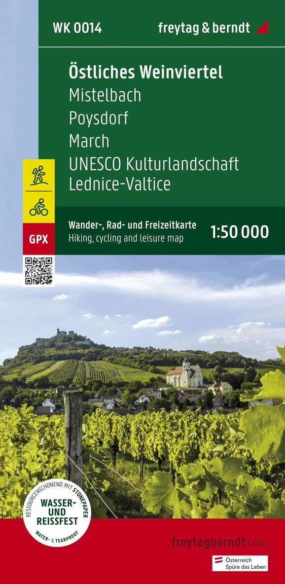
Eastern Weinviertel Hiking, Cycling and leisure map
Freytag-Berndt, Freytag-Berndt und Artaria KG
162 kr
Hoppa över listan
Du kanske också är intresserad av
WK 202 Radstädter Tauern - Katschmountain - Lungau, Walking
Freytag-Berndt, Freytag-Berndt und Artaria KG
166 kr
- Nyhet
- Nyhet