

Graz and the surrounding area WK0133
Hiking Cycling and Leisure Map 1:50 000
AvFreytag-Berndt,Freytag & Berndt
Engelska, 2022
Del i serien freytag & berndt Wander-Rad-Freizeitkarten
166 kr
Beställningsvara. Skickas inom 3-6 vardagar. Fri frakt över 249 kr.
Beskrivning
The hiking map 'Graz and surroundings, hiking, cycling and leisure map 1:50,000, freytag & berndt, WK 0133' is revised regularly and contains updated information on hiking trails, cycling and mountain bike routes, huts, natural monuments, cultural sights and leisure facilities. The enclosed information booklet contains a selection of the best hiking trails, cycle paths and mountain bike routes as well as a brief description of the individual communities and their leisure activities. (Language: German) Leisure information, hiking and long-distance hiking trails, mountain bike and cycling tours, register of places with postcodes, GPS-compatible, via ferrata, bridle path, ski route, Nordic walking route; Region: Graz, Graz surroundings, Styria. Special themed hiking trails: Mariazellerweg, Jakobsweg, Via Slavorum, Pilgerweg, Grabenland Trail, Vulkanland hiking trail, Grazer-Umland-Weg, GU-Sud circular hiking trail, Wechselbergland Hohenweg. Special cycle and mountain bike tours: Mur Cycle Path, Erzherzog-Johann Cycle Path, Ilztal Cycle Path, Raabtal Cycle Path, Mostwarts Cycle Path, Stiefingtal Cycle Path, Panoramaweg GU3, Graz circumnavigation.
Produktinformation
Utforska kategorier

Hoppa över listan
Mer från samma serie
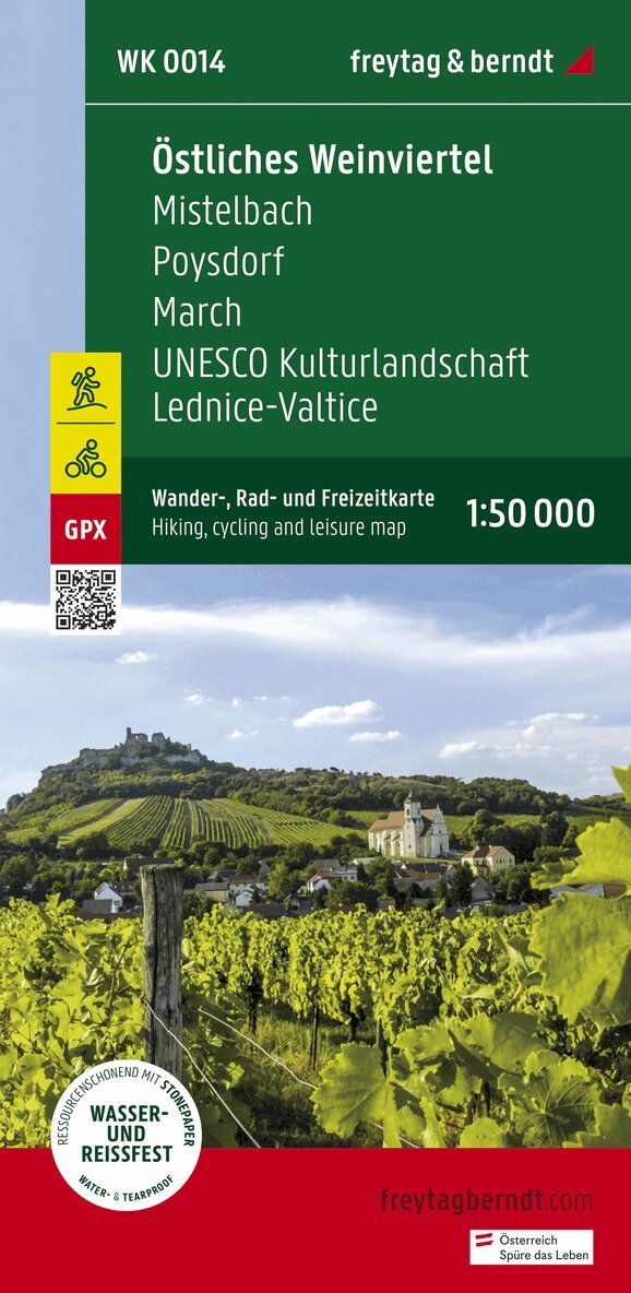
Eastern Weinviertel Hiking, Cycling and leisure map
Freytag-Berndt, Freytag-Berndt und Artaria KG
162 kr
Hoppa över listan
Du kanske också är intresserad av
WK 202 Radstädter Tauern - Katschmountain - Lungau, Walking
Freytag-Berndt, Freytag-Berndt und Artaria KG
166 kr
- Nyhet
- Nyhet