
Kaisergebirge Kufstein WK 301
Hiking, Cycling and Leisure Map
166 kr
Beställningsvara. Skickas inom 3-6 vardagar. Fri frakt över 249 kr.
Beskrivning
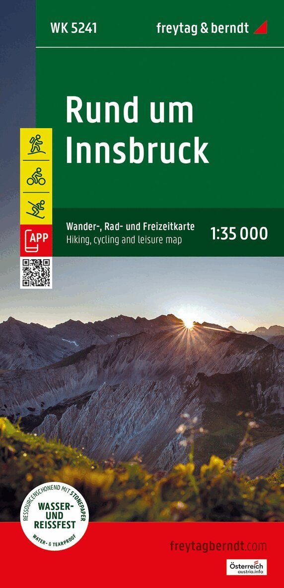
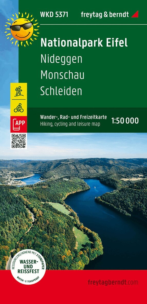
Thanks to the detailed digital cartography and precise scales, freytag & berndt hiking maps are ideal companions for hiking, mountaineering and ski tours. They are regularly revised and contain updated information on hiking trails, cycling and mountain bike routes, huts, natural monuments, cultural attractions and leisure facilities. The enclosed information booklet contains a selection of the best hiking trails, cycle paths and mountain bike routes as well as a brief description of the individual communities and their leisure activities. (Language: German) Leisure information, hiking and long-distance hiking trails, mountain bike and cycling tours, location register with postal codes, GPS compatible, via ferrata, bridle path, ski route, cross-country ski route, Nordic walking route; Region: Kufstein, Kitzbuhel, Kaiser Mountains, Tyrolean Unterland, Tyrol; Special themed hiking trails: Nordalpeweg, Via Alpina, Adlerweg, Jakobsweg, Hohe Salve high-altitude circular trail, hut tour on the Wilder Kaiser, Pillersee and Teufelskamm, Taubensee, Schwarzsee and Gieringer Weiher; Special cycling and mountain bike tours: Inn cycle path, Mozart cycle path, BikeTail Tirol, Harschbichl;
Produktinformation
Utforska kategorier
Hoppa över listan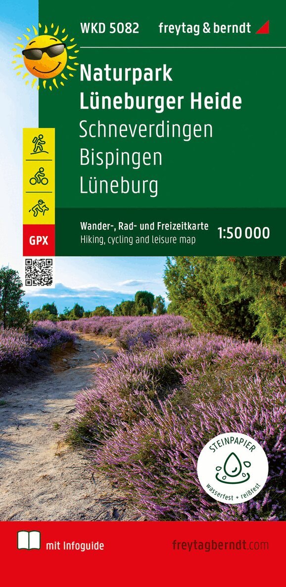
Mer från samma serie
Lüneburger Park, Walking-, Bike- and Leisure map 1:50.000, f
Freytag-Berndt, Freytag-Berndt und Artaria KG
166 kr
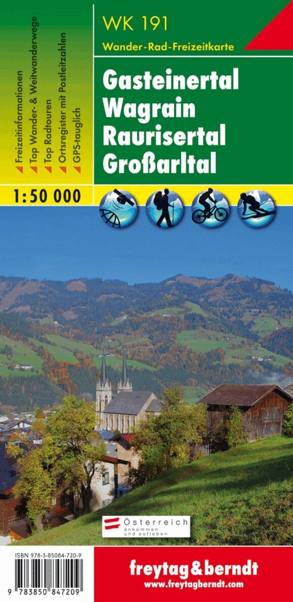
WK 191 Gastatal - Wagrain - Raurisertal - Largearltal, Walki
Freytag-Berndt, Freytag-Berndt und Artaria KG
166 kr
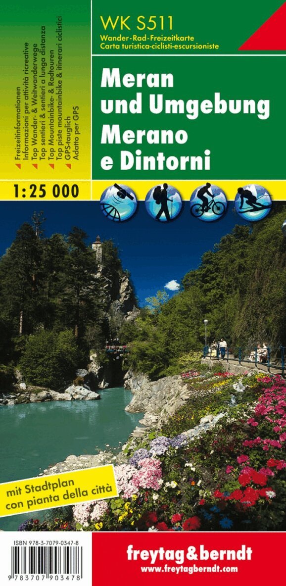
WK S511 Meran and the surrounding area, Walking map 1:25.000
Freytag-Berndt, Freytag-Berndt und Artaria KG
166 kr
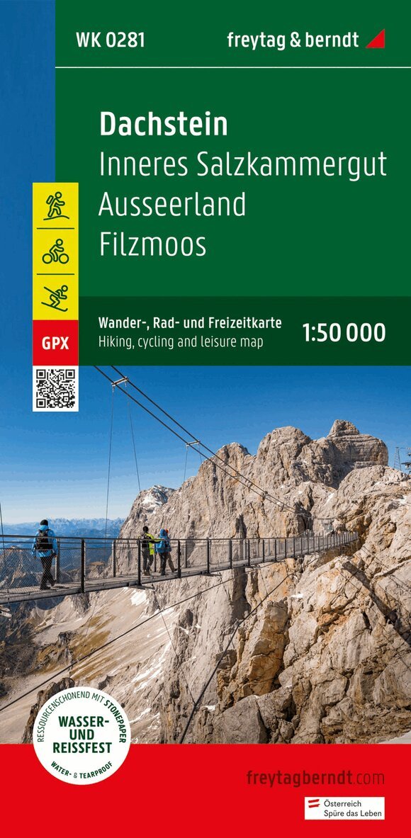
Dachstein, Walking-, Bike- and Leisure map 1:50.000, freytag
Freytag-Berndt, Freytag-Berndt und Artaria KG
166 kr
Hoppa över listan

Du kanske också är intresserad av
Mittelkärnten, Wander-, Rad- und Freizeitkarte 1:50.000, freytag & berndt, WK 231
Freytag & Berndt
166 kr
- Nyhet
WK S511 Meran and the surrounding area, Walking map 1:25.000
Freytag-Berndt, Freytag-Berndt und Artaria KG
166 kr